We’ve journeyed to Nova Scotia several times before, my guy and me, but it’s one of those places that beckons for a return adventure, and so we heeded the call and went forth.

The first leg of the trip found us tailgating in the parking lot for The Cat in Bar Harbor. When we had gone inside to pick up our tickets, we realized we couldn’t take tomatoes or bananas into Canada and so we put them on the lunch menu.

Our yacht was a wee bit late arriving, but at last we spied it pulling in to the dock. Given that, we still had to wait a bit more to board so others could disembark and pass through USA customs.
At last it was our turn and we rolled up the ramp and into the parking lot of this huge catamaran ferry with Yarmouth, Nova Scotia our destination, 3.5 hours away. Somehow we scored a table and chairs in the bow and sat down to enjoy the international cruise. I don’t have photographs to prove this, so allegedly we saw dolphins off the port side and even a whale just starboard shy of center that the boat drove over (remember, it’s a catamaran)–and might possibly have made contact with for we felt a thump.
At Canadian Customs we offered to give up the tomatoes and bananas and were told not to worry.

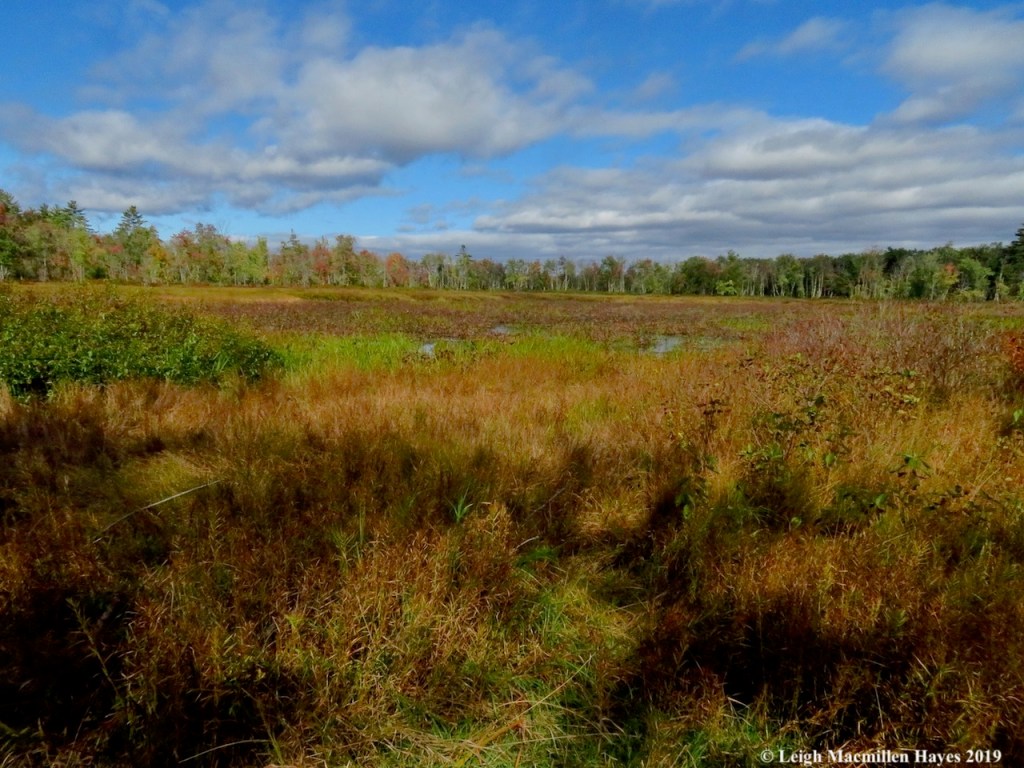
The first night found us at a hotel in Yarmouth and then we began our journey north the next morning, pausing at a spot a woman in the Liverpool information center suggested we visit: Cosby’s Garden Centre. It’s home not only to an amazing display of plants, but also the imaginative artwork created by Sculptor Ivan Higgins.

Around every corner of the path that weaves through the woods, there are plantings and sculptures waiting to surprise, all made of wire and concrete.

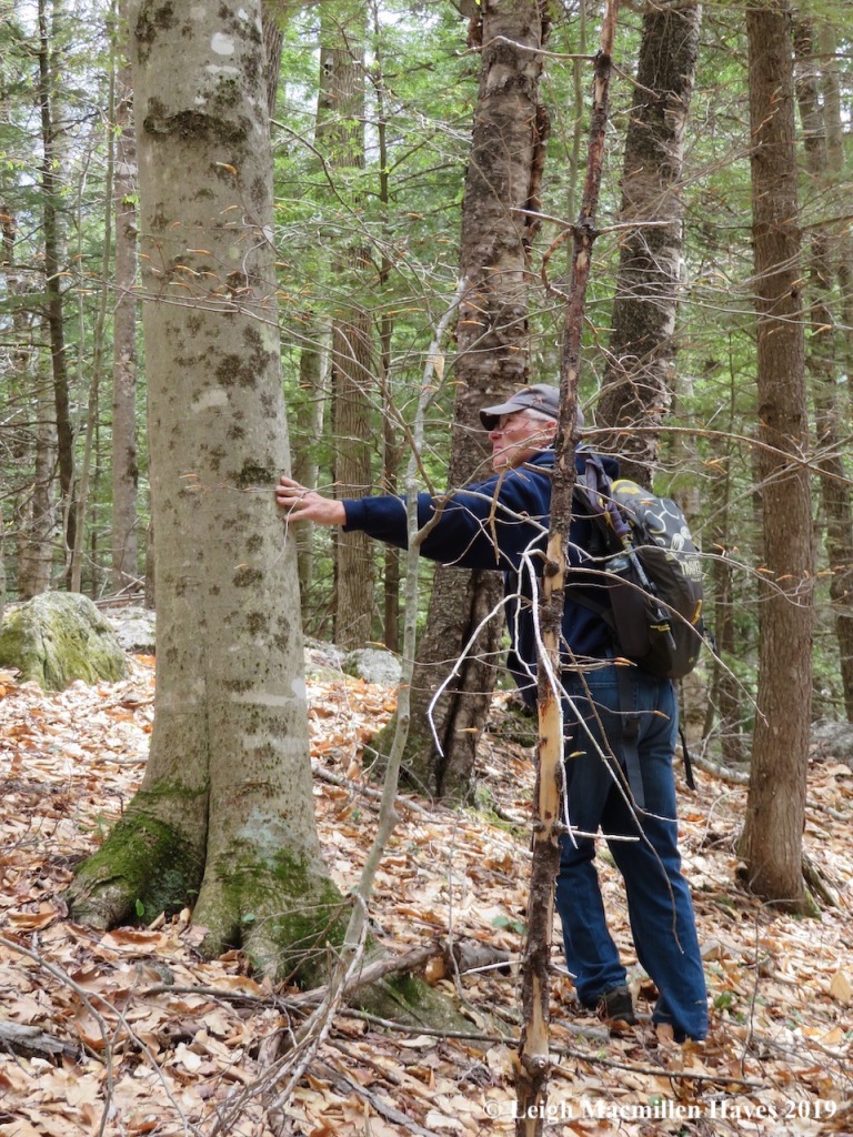
My Guy is not exactly a garden-type-kinda guy, but he absolutely loved all the discoveries we made and at one point we split up and he couldn’t wait to show me what he found. Ahhh, but I’ll wait until the end of this post to share that. Don’t skip ahead cuze you’ll ruin the surprise.

This one was one of my favorites. Do you see it?
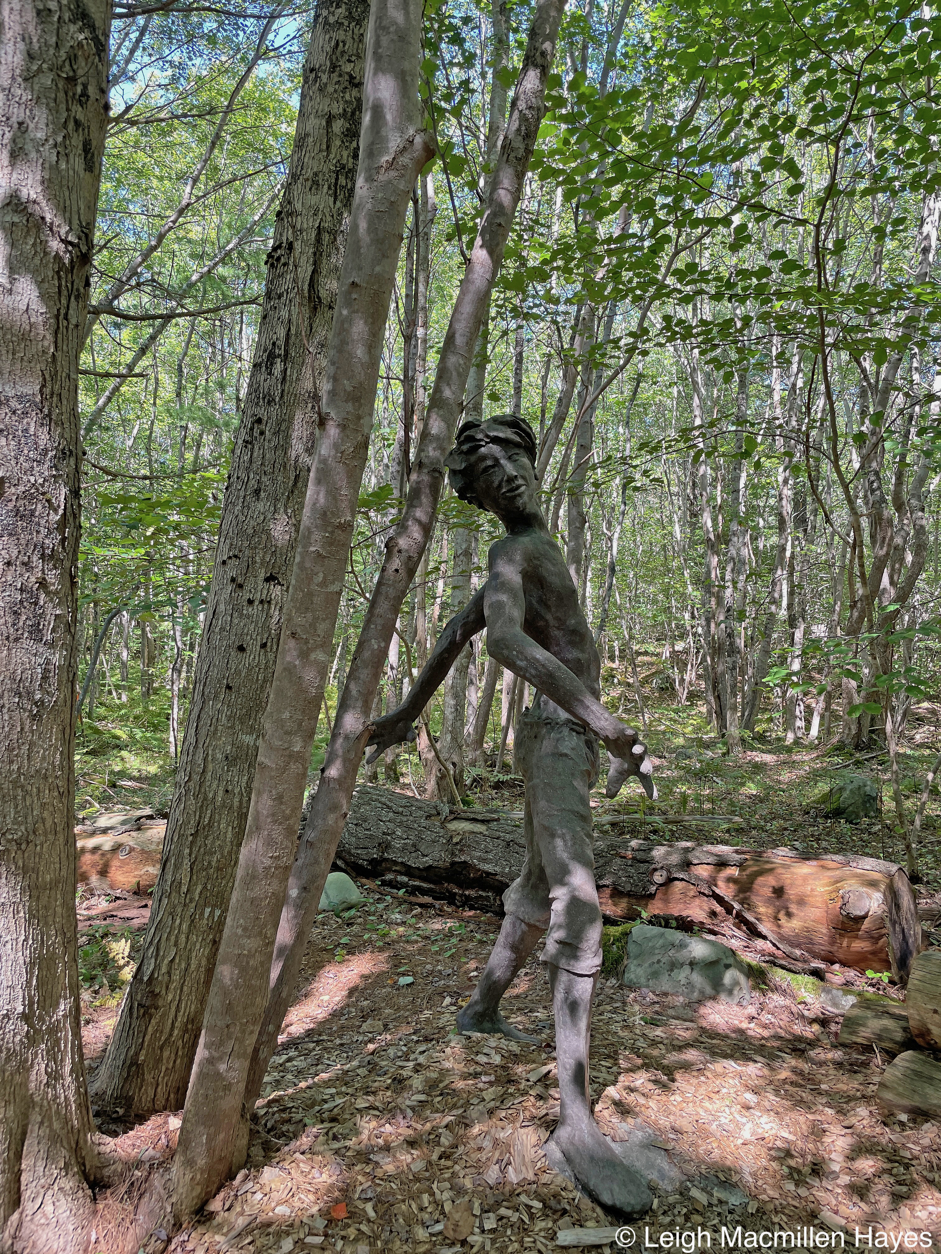
How about now? I snuck up on this guy who was hiding behind the trees. There are acrobats and dragons and all kinds of wonders to locate and if you are driving by on the road, you really have no idea what is hiding in the woods behind the garden centre.
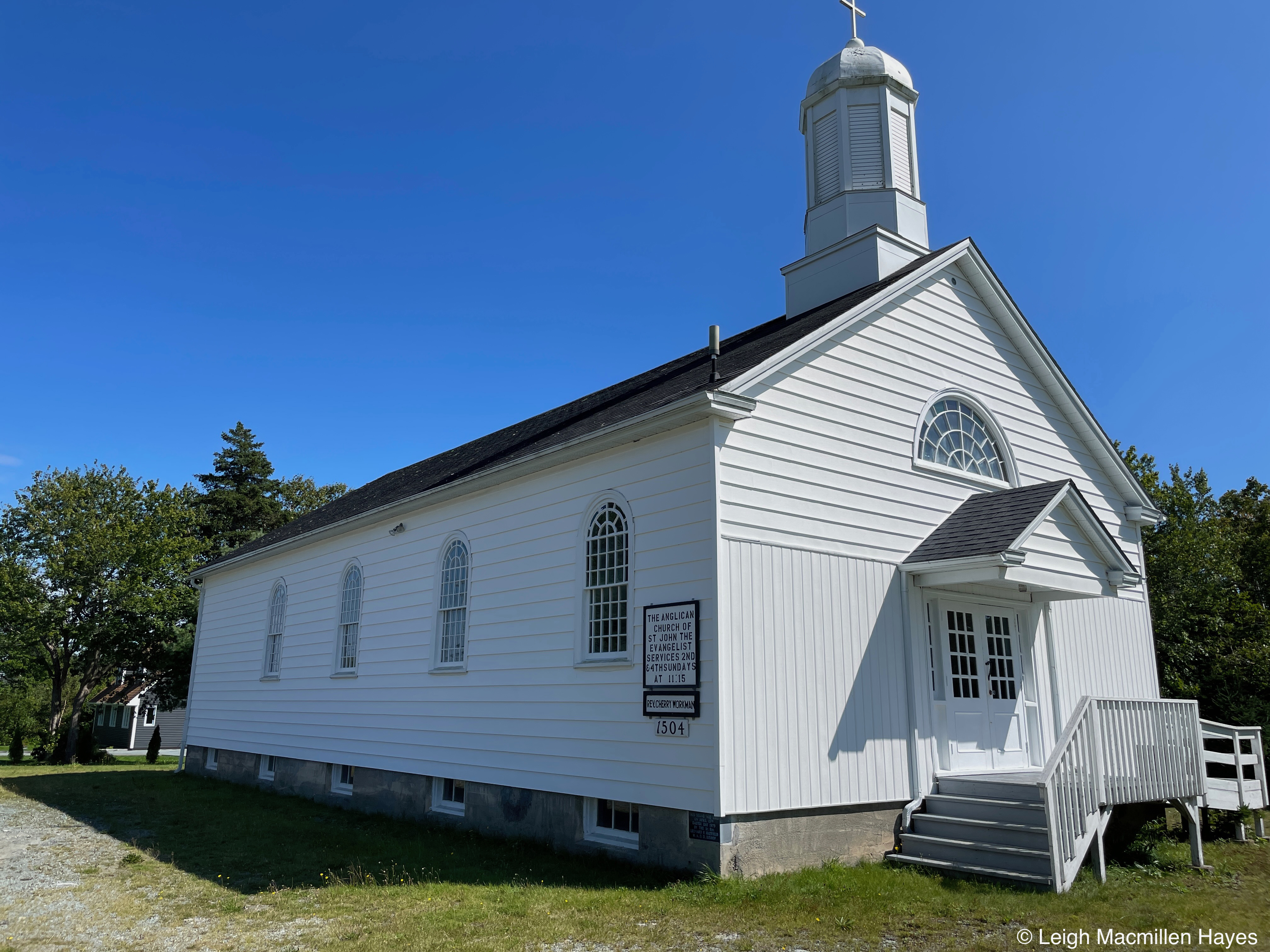
Our next stop was St.John the Evangelist Anglican Church in Eagle Head. The last time we visited, My Guy’s (MG) second or third cousin gave us a tour of the church and said that if MG had been at the service the day before, he would have pointed to almost everyone in the parish and said, “You are related to him, and her, and her, and . . . ”
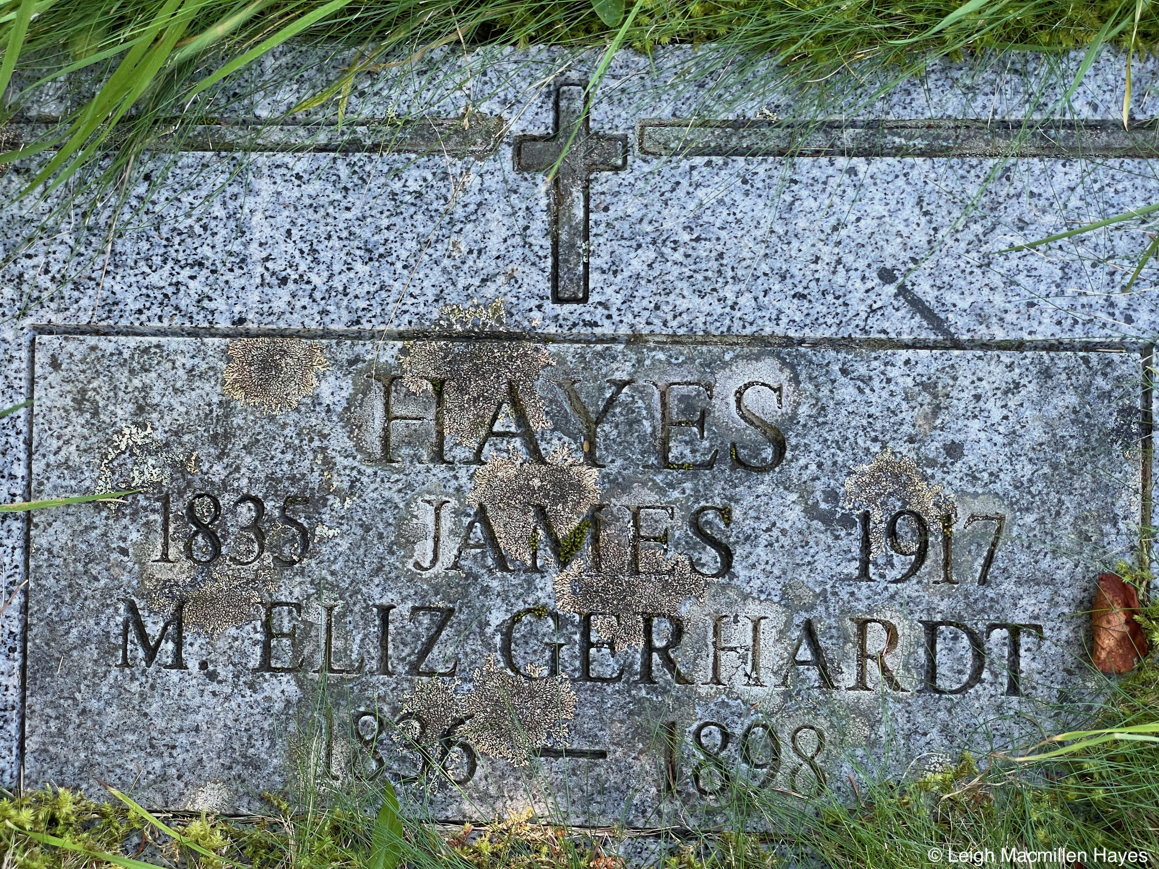
We visited the gravesite of MG’s great-great grandparents and then continued up the road to West Berlin , where we stopped in to visit his relative’s widow. (RIP Borden)

After sharing our condolences because Borden passed away two years ago, and catching up with her, we went for a walk up the lane to follow the route MG and Borden’s great-greats used to traverse to their home. Only the ell is left now, the rest of the house having burned many moons ago, but still.

It was here where they toiled as they farmed the land by the ocean and we felt like we were breathing some of the same air they used to breath.

And then it was another 45 minutes or so to our “hometown” of three nights as we’d rented a chalet overlooking the town of Lunenburg.

Ours was the cabin in the middle, complete with kitchen, living room with woodstove, bedroom, and kitchen, plus deck with bench and grill, and plenty of firewood, and sorta an ocean view being the Oceanview Chalets. It was a delightful place to stay, clean, comfortable, and quiet. Plus, this is a dark-sky -friendly property and on the third night there was no cloud cover and we enjoyed the celestial view.
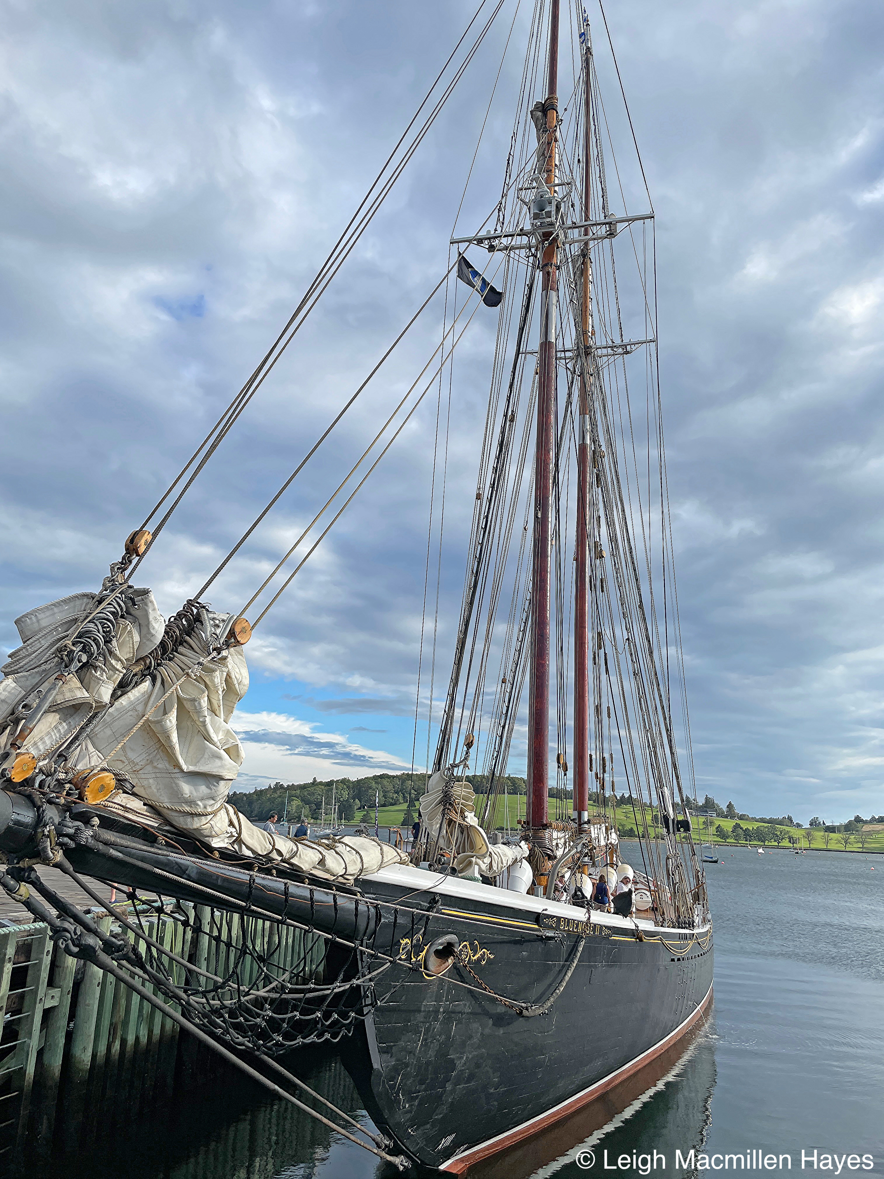
Though we didn’t tour the Bluenose II, it gave us pause each time we walked past it, for it’s one handsome schooner that was built at a local shipyard to honor the legacy of the original Bluenose that struck a reef off of Haiti in 1946. The present day boat was constructed in 1963 by some of the same shipbuilders as the first.

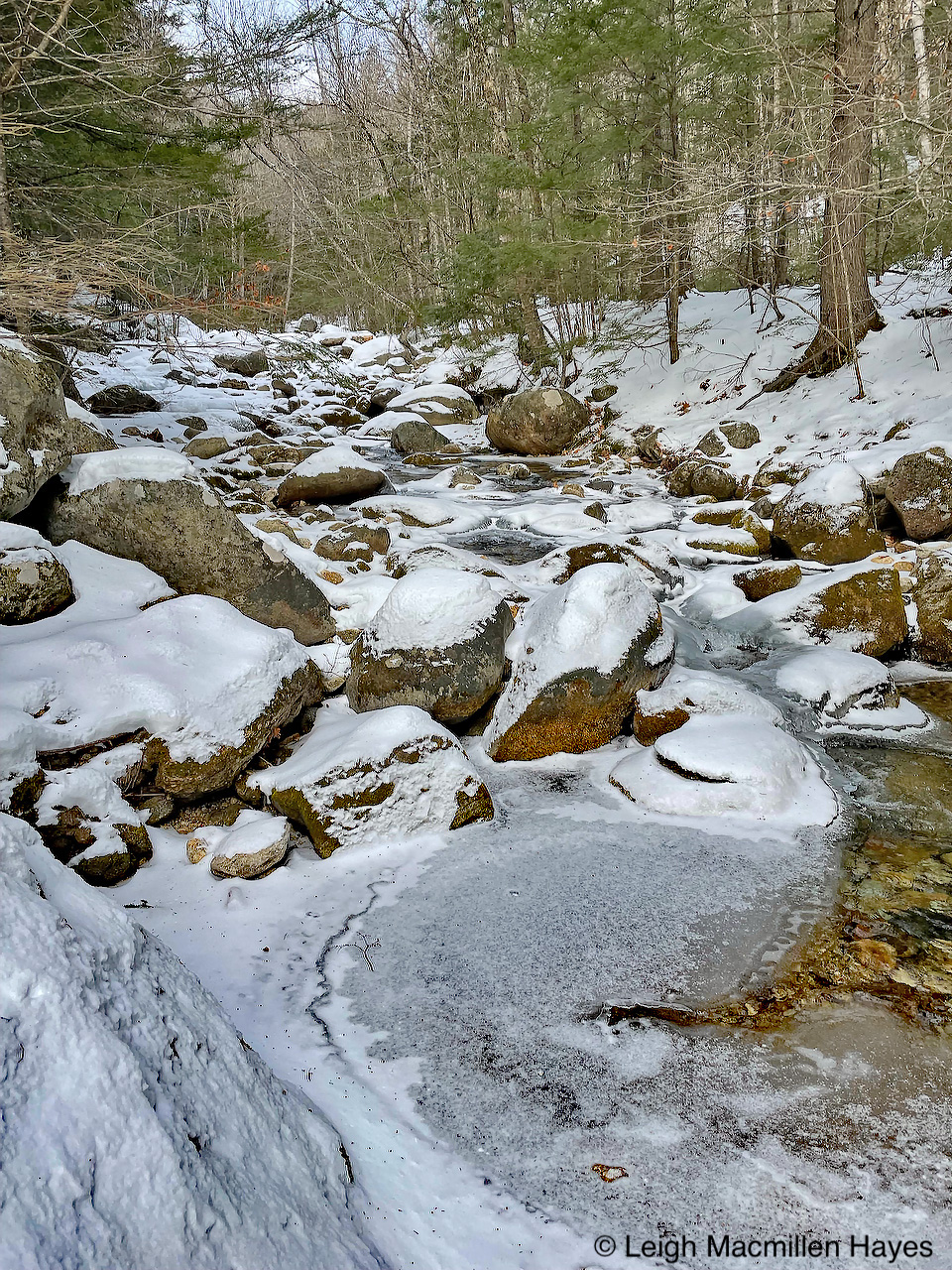
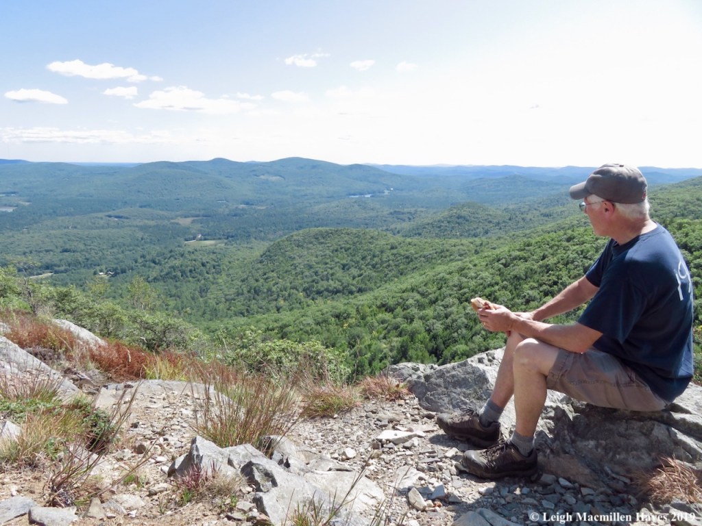
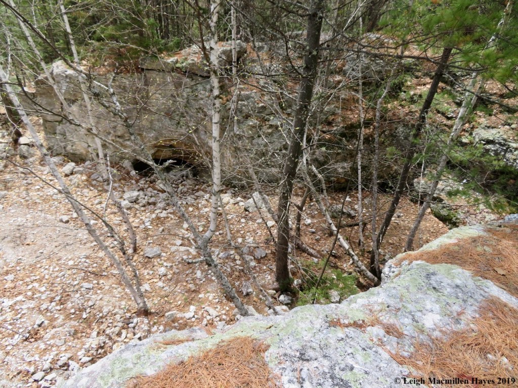
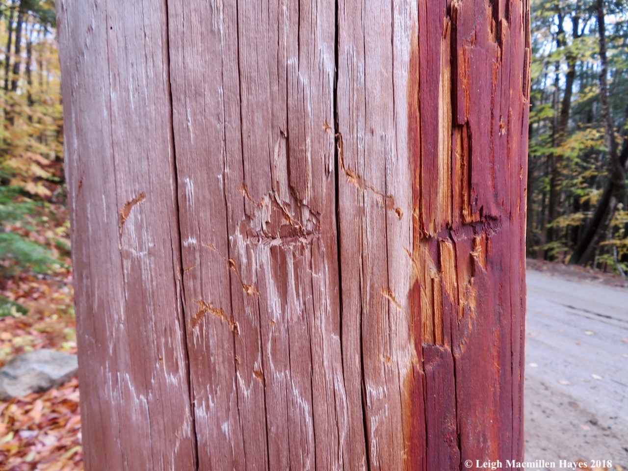
Wind and a few raindrops, but mostly wind, gusty wind, blowing at at least 25 miles per hour, were the name of the game on our first full day in Lunenburg. We drove to Ovens National Park in Riverport and walked the ocean-side cliff trail to explore the sea caves. I followed MG down into Tucker’s Tunnel, a natural cave that was extended during the 1861 Gold Rush! Yes, there’s touted to be gold in this area and though we didn’t do it, you can rent a pan and go gold panning!

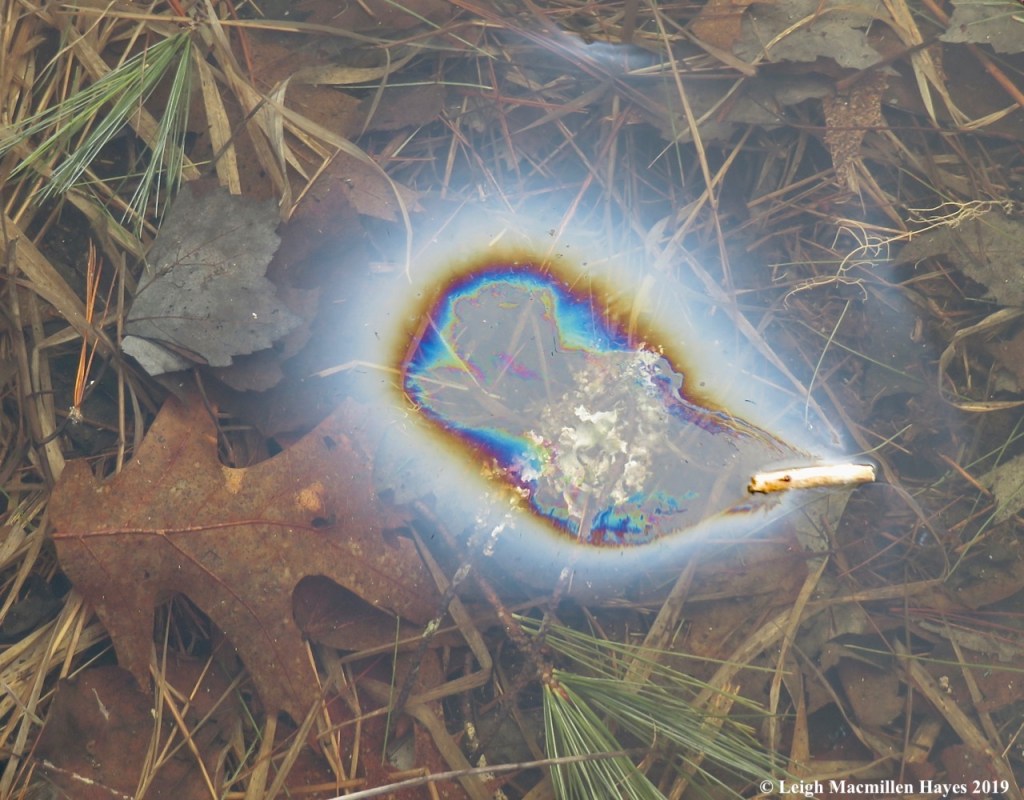
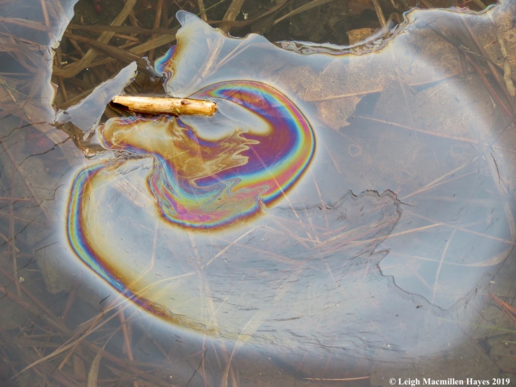
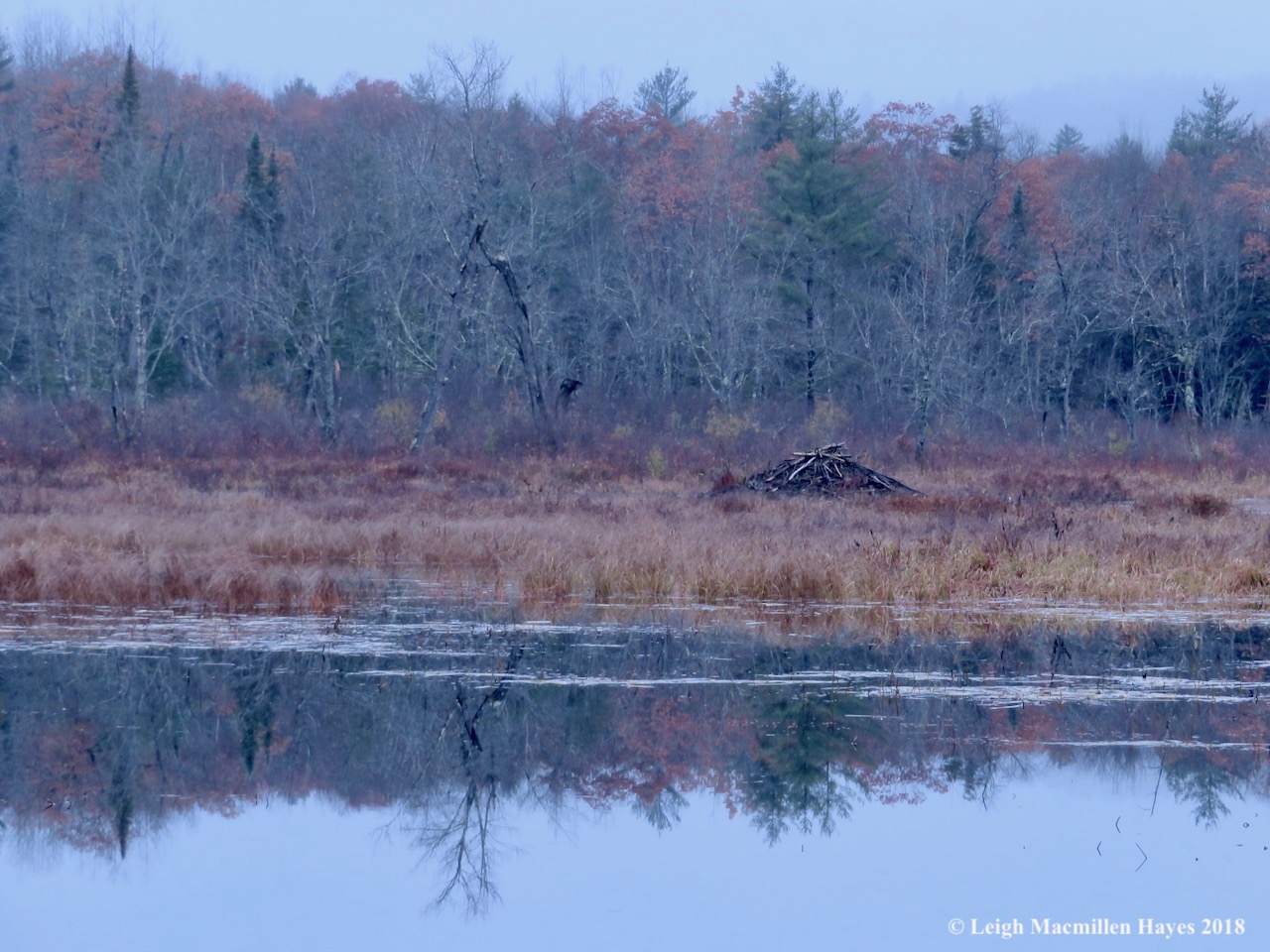
Opposite the overlook at Indian Cave, where as the story has it, the cave was “named after an ancient legend wherein a M’Kmaq native paddled his canoe into the cave emerging near Blomidon on the other side of the province,” we noticed something we’ve never viewed before.
If you look closely at this photo, you may see small white balls floating in the air. The wind was so strong that as waves crashed below, balls of foam rose like silly snowballs rising rather than falling.

Walking along, we began to get a sense of the force of nature and reason it’s called Ovens Natural Park, for the caves look rather earth-oven-like in shape, much the way an Ovenbird builds its ground nest in the same shape.
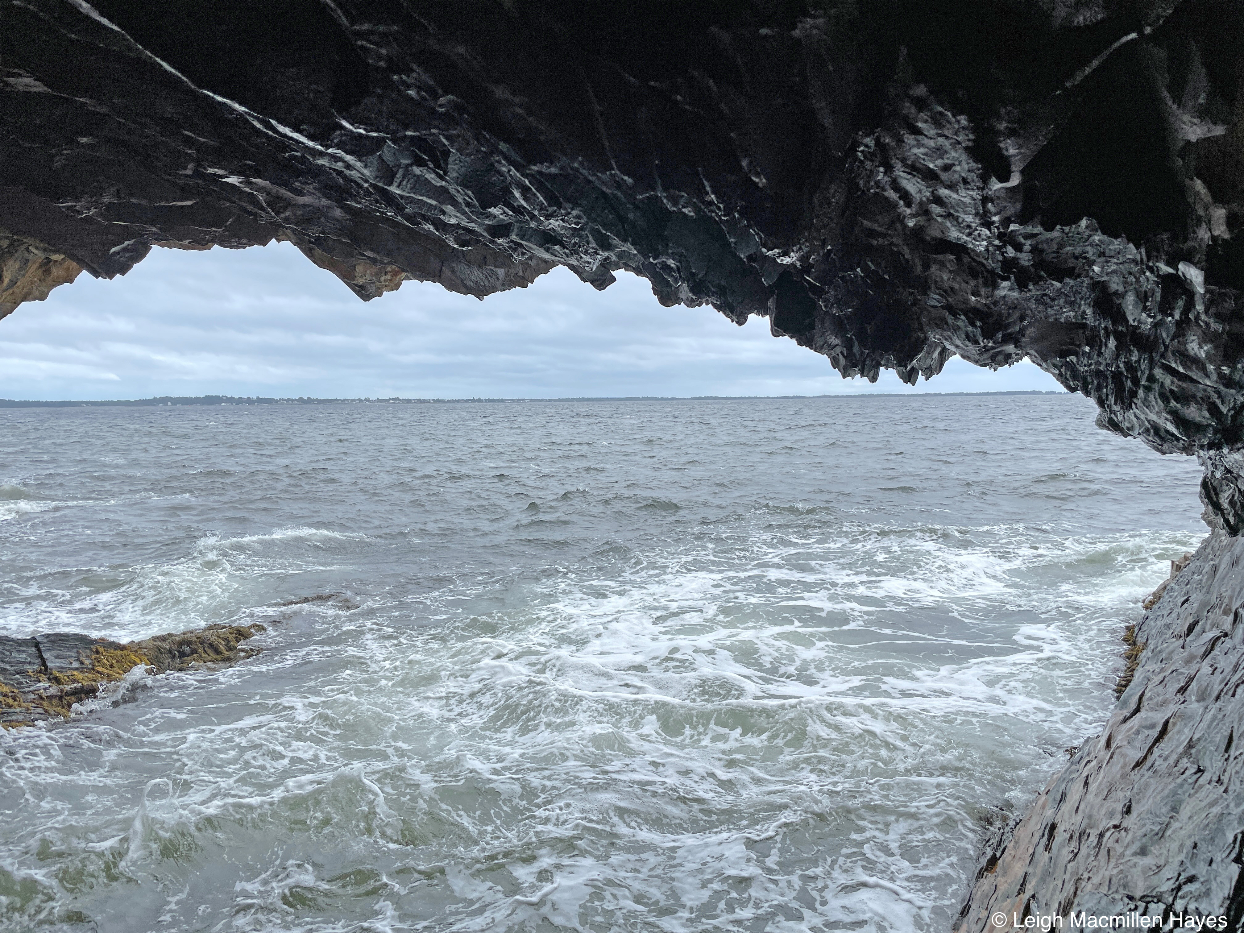
In Cannon Cave, we climbed all the way down and in, and I was sure we were going to get washed away each time a wave roared in. The wave action really does create a resounding boom and it’s much more dramatic than Thunder Hole in Acadia National Park, at least in our opinions.

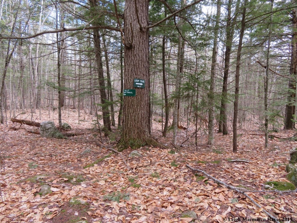
From Riverport, we drove to Mahone Bay, a sweet little town of shops and known for its three church spires. But for us, it was the rail trail that attracted our attention, so after lunch at Oh My Cod, we planned to find the spot where three trails meet and walk a portion of each. Somehow that plan changed without us even realizing it, and instead we followed the Dynamite Trail for 11K each way (6.8 miles each way) and honestly, had beat feet by the end.

But, in the midst of it all, we stumbled upon this art display: High Tide contructed by Erin Philp, a local artist, woodworker, and shipwright. According to a plaque at the site, the sculptures are based on the classic Lunenburg Dory design, historically used in combination with Grand Backs Schooners, like the Bluenose, to fish the Atlantic Coast. “The High Tide collection . . . elevates the vessels into a new and surprising relationship with their environment, highlighting and celebrating these simple, yet enchanting boats.” Indeed!

At our turn-around point on the Dynamite Trail we literally stopped in our tracks when we spotted a deer ahead and it mimicked our behavior. Look at those ears on high alert. The three of us spent a little time together, and then it continued across the trail while we turned to head back.

A few minutes later we spotted two more, this one licking its chops after enjoying some buds and leaves.
At home, we love to watch deer from the kitchen windows, but it’s an equally fun sighting when we are somewhere else.

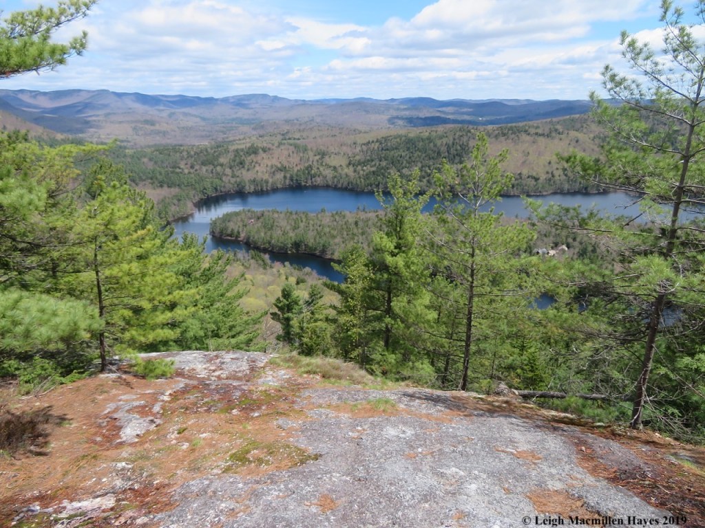
The next day we realized that we’d skipped a planned hike after visiting Ovens National Park, and so we headed to Hirtle’s Beach and Gaff Point in Dayspring. In contrast to the rail trail, this was a combination of beach, forest, and rocks, and much more comfortable under our weary soles.
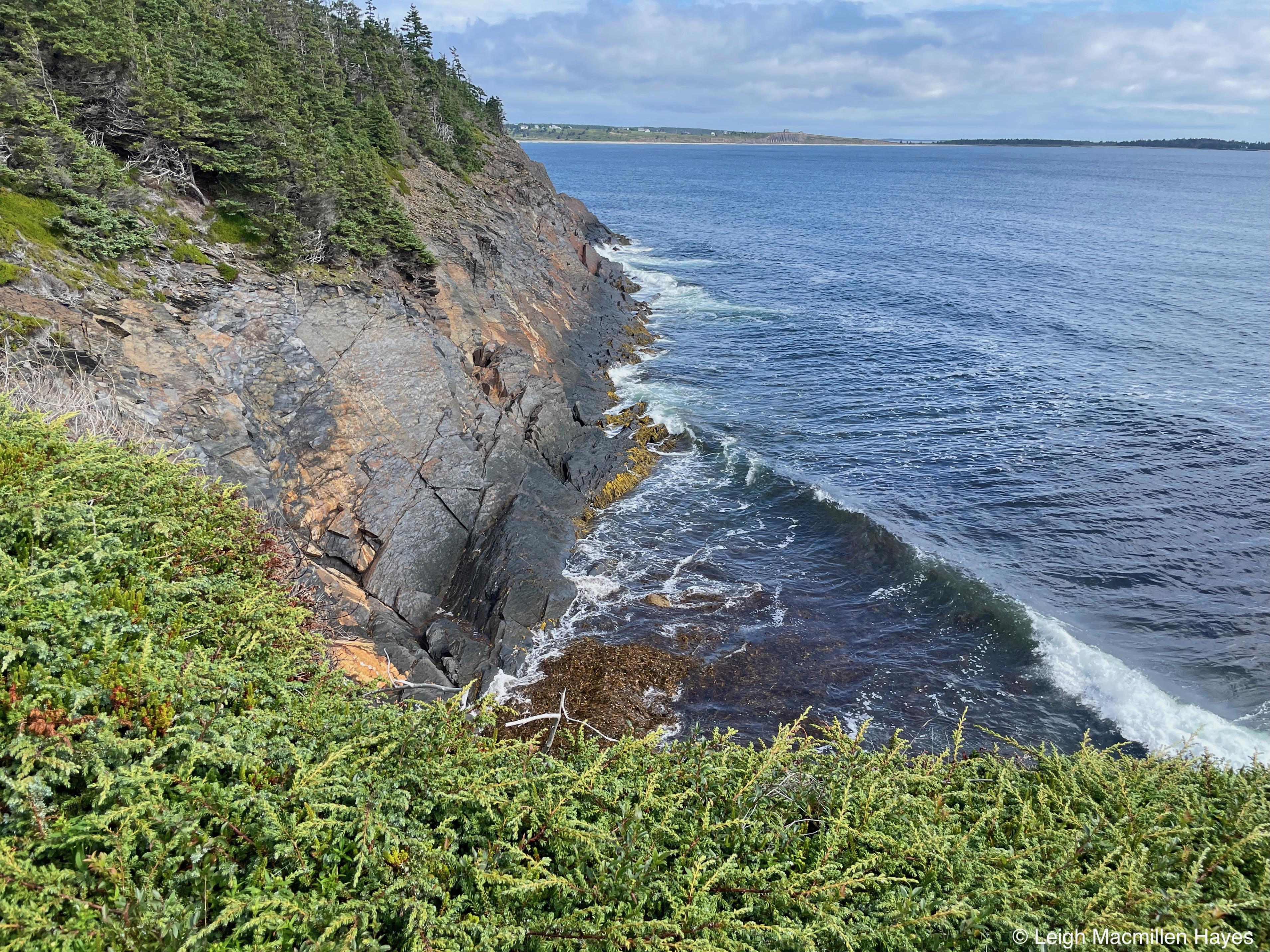
Again, the winds were strong, which enhanced the wave action.

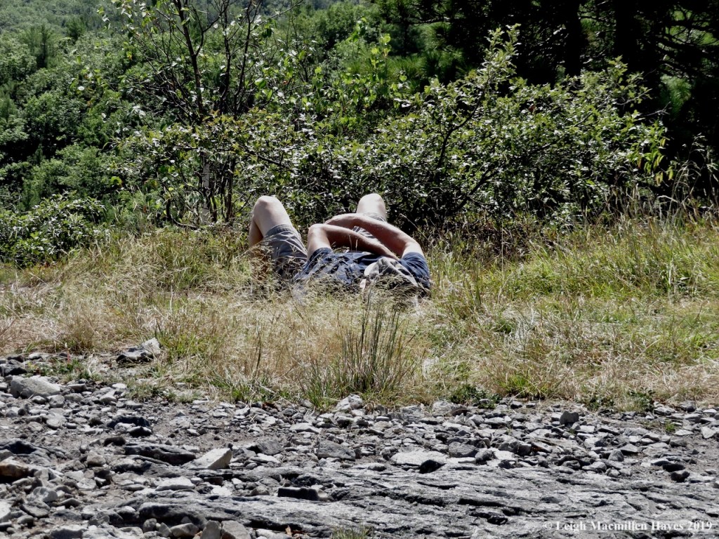
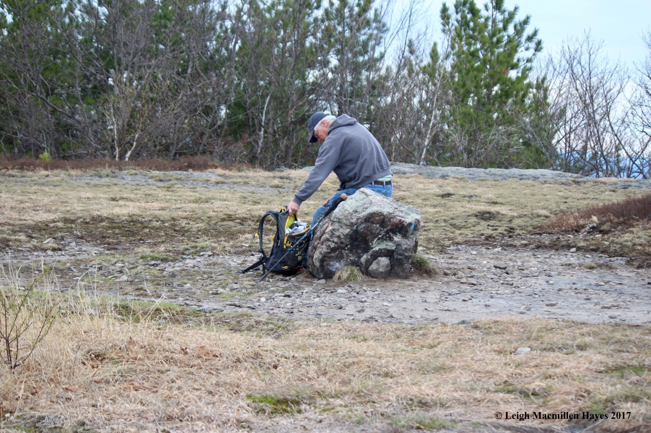
After circling the point, MG skipped a few stones, channeling his inner child.

You might say we are glutons for punishment, but after lunch at the chalet, we walked down the road and found another rail trail, the Back Harbor Trail. This time, however, we only walked about two miles on the trail, coming out at the other end of town. Rhonda the Snake was waiting to greet us and so we admired her unique skin pattern.

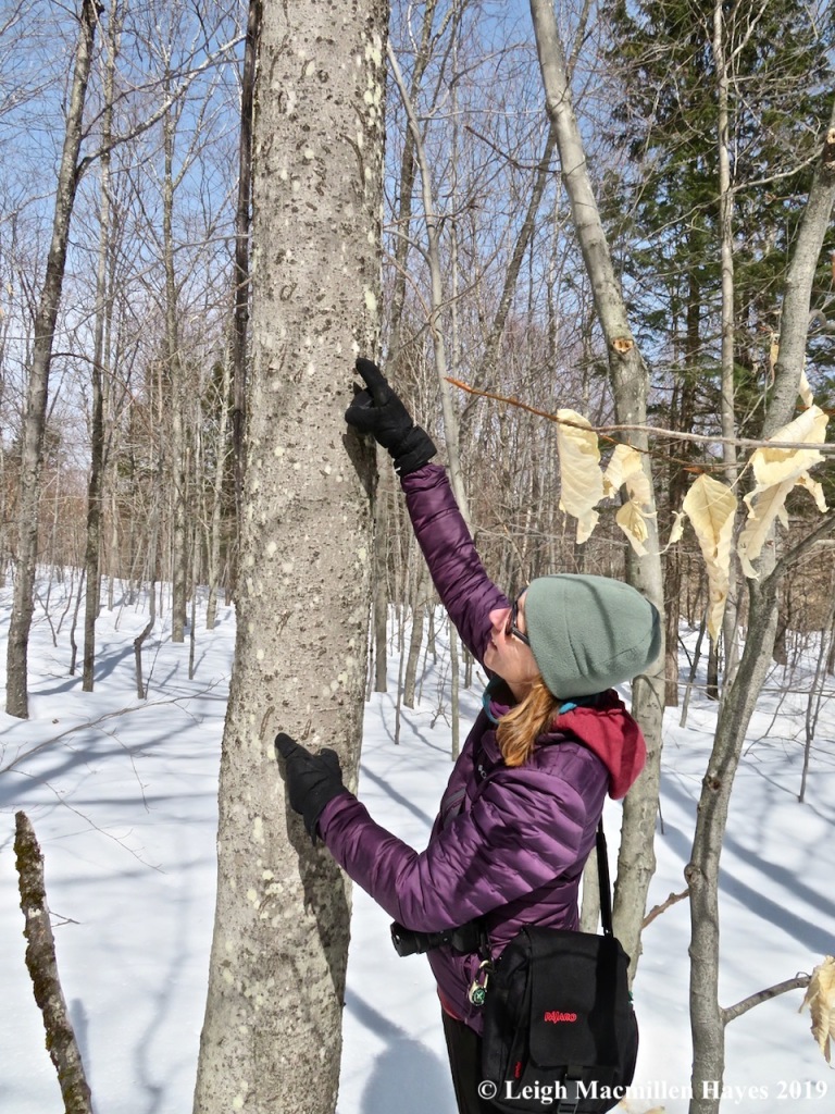
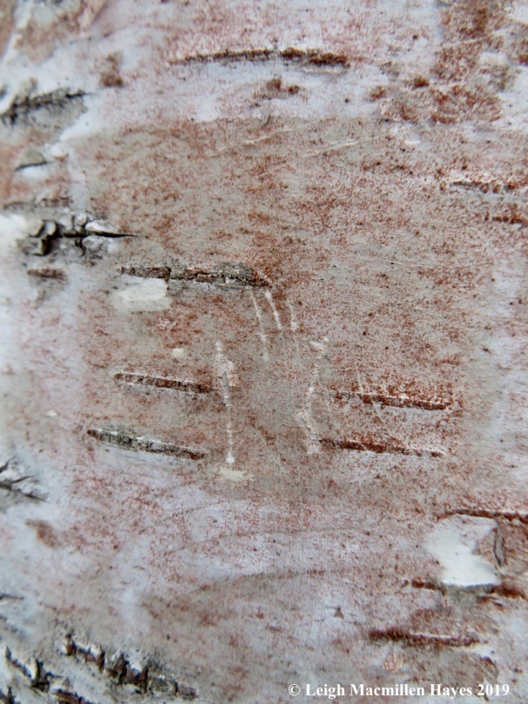
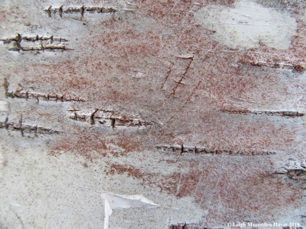
Walking back through town, I spotted this Basswood tree in full fruiting form. The fruits are nutlets borne on a stem bearing a persistent bract, or modified leaf–note its lighter green coloration. Somehow the bract aids in the wind dispersal of the fruit.

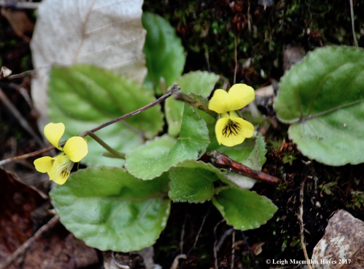
It was on this day’s journey that I also met Jointed Charlock, aka Wild Radish. Apparently, it’s an invasive species, so I should be grateful we hadn’t met before.

Our time in Lunenburg came to an end, so then we drove northwest to Amherst. Okay, so here’s where I have to tell the story of my mistake. When I first booked our next chalet, I saw that it was two miles out of Amherst, and thought that was perfect. We’d be on the Bay of Fundy and yet only two miles from town.
Ahem. Wrong. I failed to read the rest of the sentence until we arrived and grabbed a late lunch. Two miles out of town, and then 25 more miles to Lorneville on the Northumberland Strait.
It’s a good thing we did some grocery shopping before driving north to Amherst Shore Country Inn. Despite the distance to the Bay of Fundy, our little place, with a living room, dining area, kitchenette, bedroom with jacuzzi, and small bath was perfect. And the deck, also with a grill and adirondack chairs, offered a spendid view of the gardens and waterfront of this 20-acre property.

It also offered a splendid view of Craneflies for so many hung out on the windows. I spent at least an hour one morning watching them walk as if on wobbly stilts, occasionally fly, canoodle, and even lay eggs on damp vegetation.

Our first full day dawned foggy, but still we made the long drive to the cliffs of the Bay of Fundy. After realizing we were a wee bit too early for the Joggins Fossil Cliffs museum to open, so we instead drove to Eatonville in Chignecto Provincial Park to go for a hike.
A couple of miles in, we realized that even when we reached the coast, the fog would be too pea-soupy and so we retraced our steps.

On the way out, we did stop for a walk along a red sand beach, so colored because the sand eroded from rocks with significant iron content.
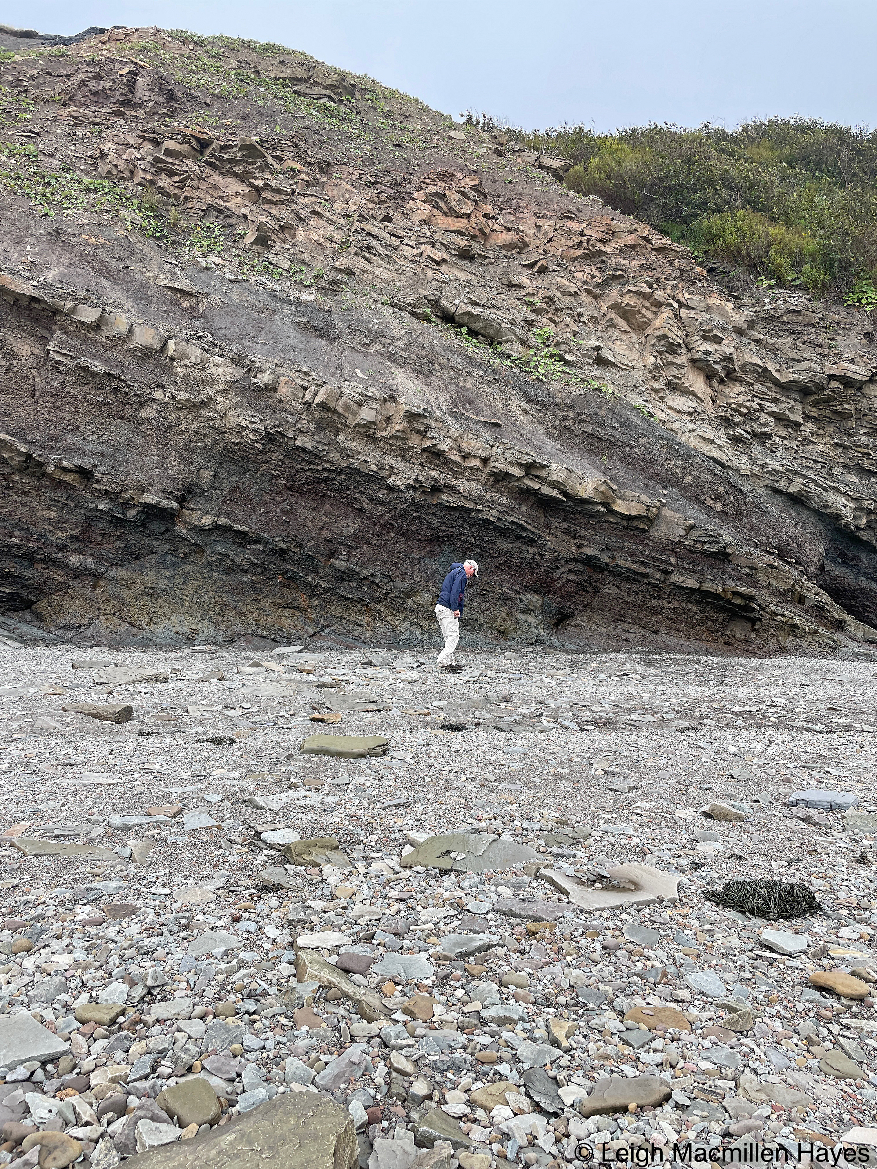
We decided that rather than retrace the drive back to Joggins, we’d follow a loop, which turned out to be a mistake for a detour spit us back out opposite where we wanted to be and cost us some time. We missed the last guided tour at the fossil cliffs, but climbed down to the beach and began searching for signs of the Coal Age.

One of our finds was possibly a calamite fossil, a type of horsetail plant that lived in coal swamps of the Carboniferous Period.

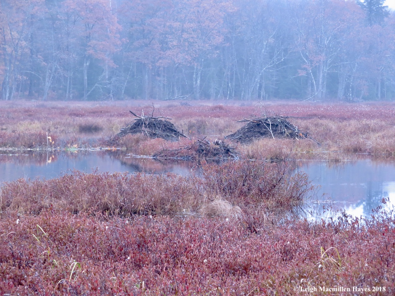
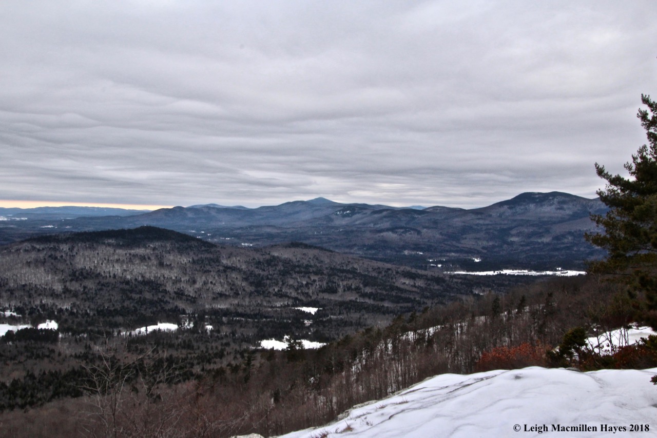
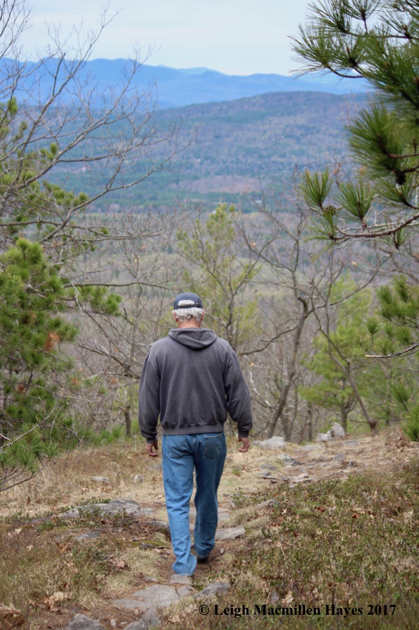
It was back to Chignecto the next day because we really wanted to explore more of the park. A park ranger mapped out a trail for us and off we went. We only had time for about five or six miles, but would love to someday explore more.

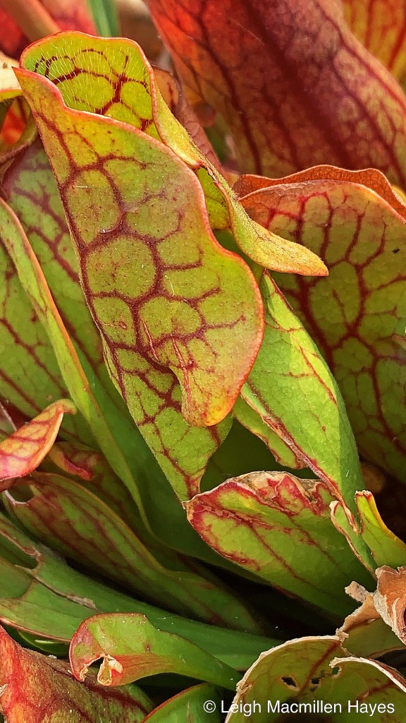
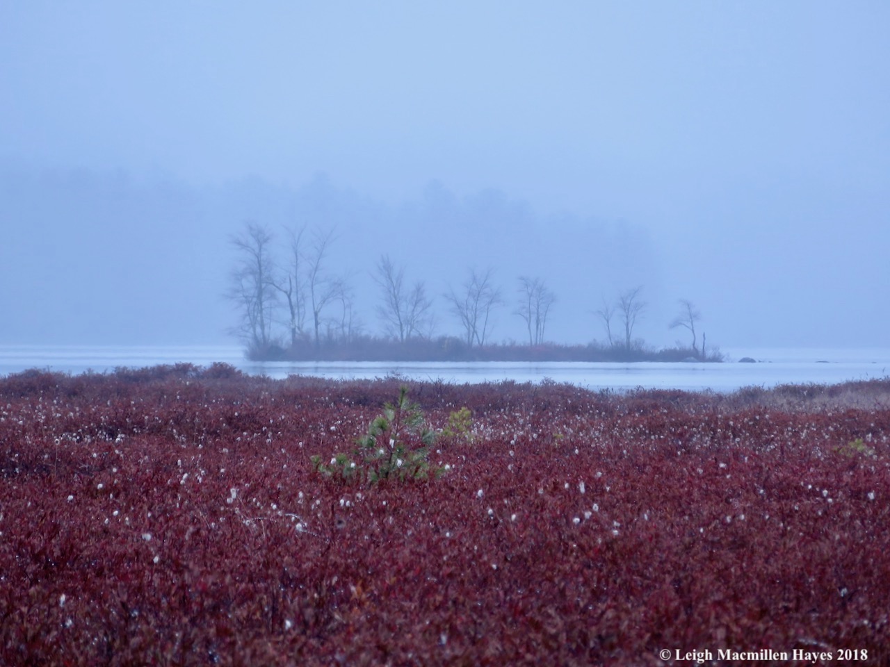
I think one of my favorite sights occured there as well as everywhere else we traveled in Nova Scotia, a sea of goldenrods and asters.

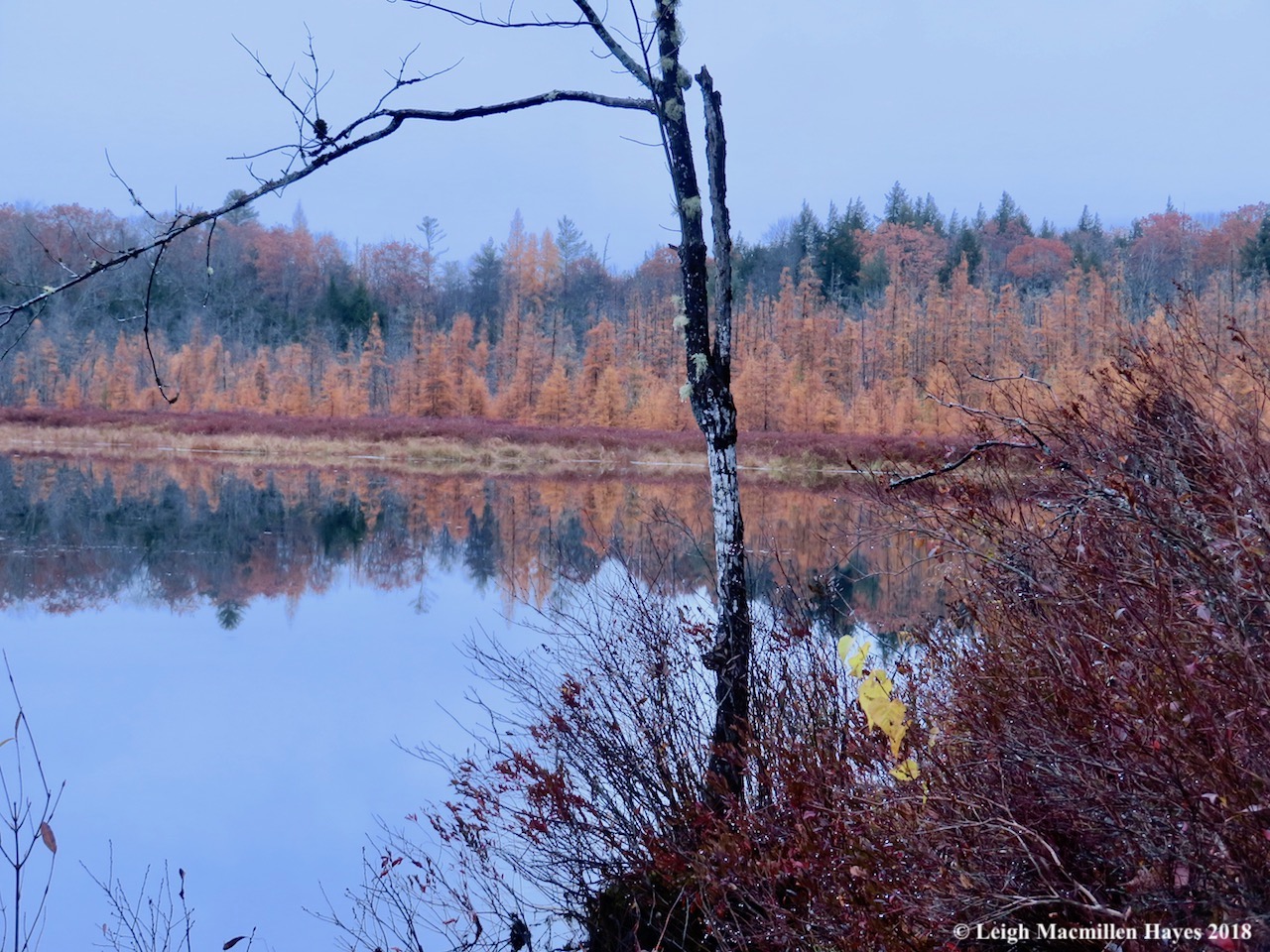
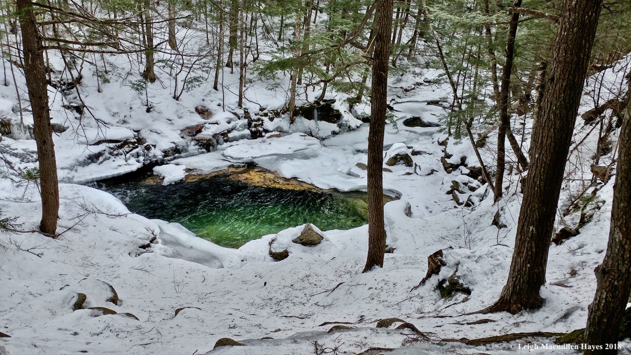
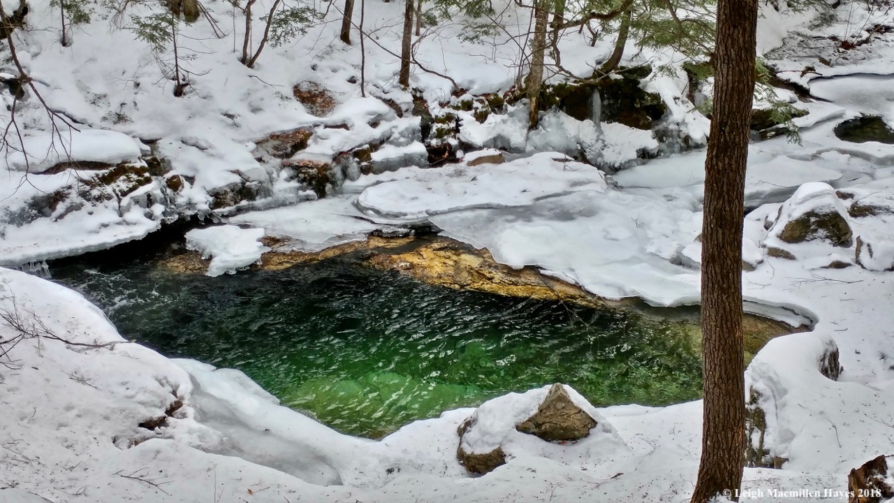
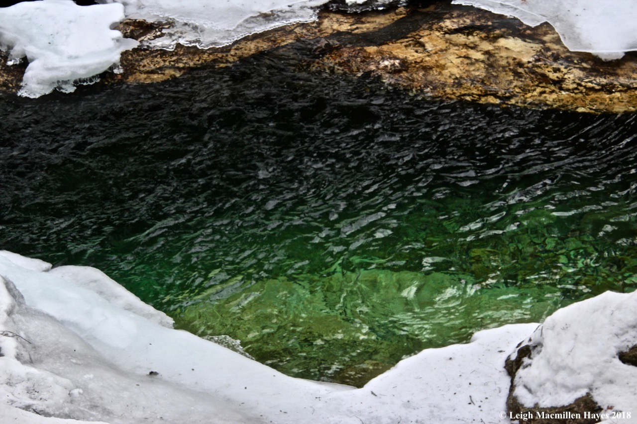
My other favorite sight was the color of the water. We’ve never been to Bermuda, but somehow based on photographs I’ve seen, I’m pretty sure we discovered the Bermuda of the North.

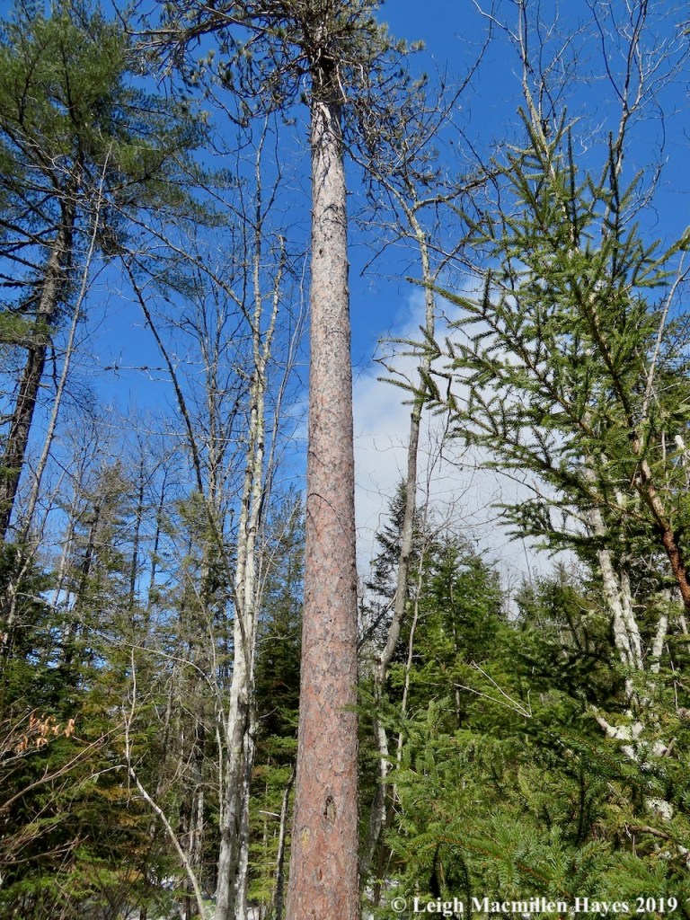
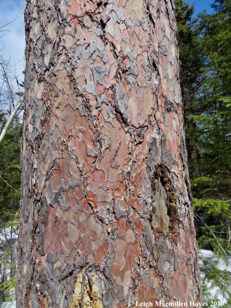
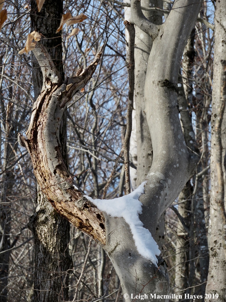
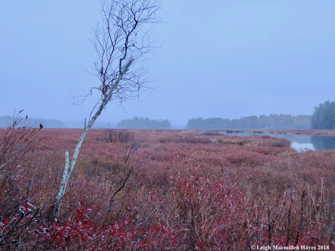
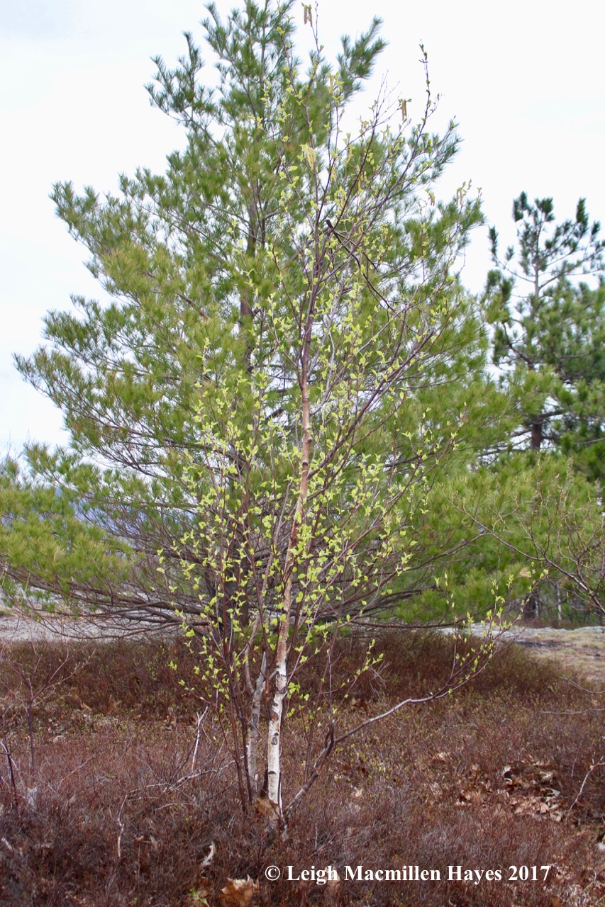
Though we never did see the tides I was hoping for because I’d not read the directions for the chalet fully, we could see the effects of erosion everywhere, and had to wonder how much longer this spruce will hold its ground.

Next stop on the agenda, not that we had such, was Cape D’or Lighthouse, erected to warn mariners of the tidal rip. Though the history of a fog horn and then lighthouse date back to 1875, the current concrete structure was built in 1965.

As we stood out on the point and looked back, I was rather grateful that it was low tide and we could get a real sense of the topography.

Our final trek that day was to the Three Sisters Sea Stacks. So . . . it turns out that when we were hiking in the fog the previous day, we weren’t all that far from the sea stacks. And it also turns out that while we might not have had a good view of them in the fog, arriving late in the day also didn’t offer a spectauclar one from a camera’s point of view because the sun was setting right behind them and my photos came out overexposed. That said, I did want to share The Fissure, a large crack in the underlying bedrock that occurred as a result of extreme faulting and lifting 325 million years ago. Can you see the large rock suspended over the beach?
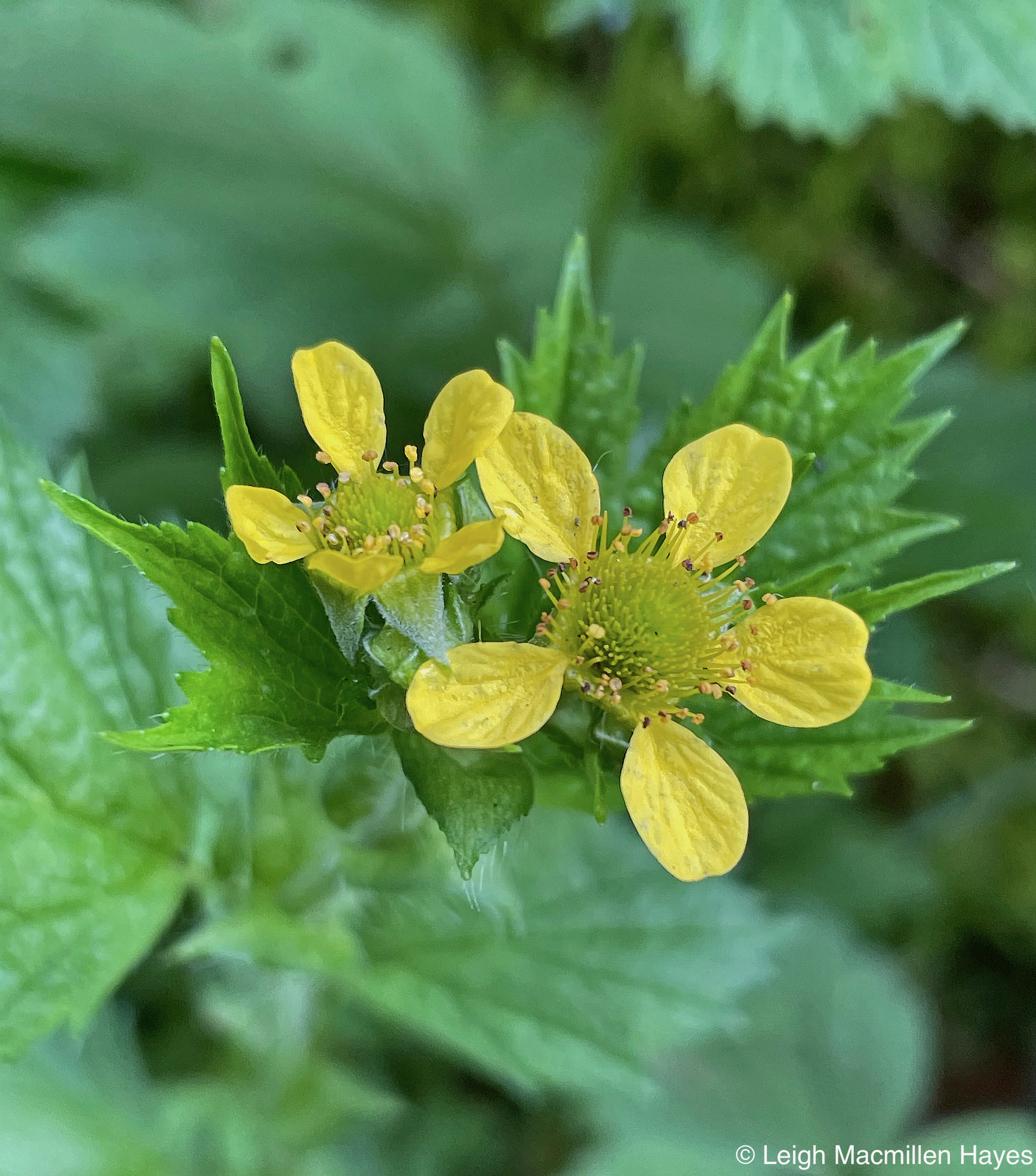
In our Chignecto Park hikes I spotted a few flowers also new to me including Herb Robert and this one, Large-leaved Avens, which is said to grow from the Arctic south to Northern USA.

And back at Northumbria Strait, Cormorants cooled off by spreading their wings.

All right, so if you’ve stuck with me this long, I promised when we were at Cosby’s Sculpture Garden Centre that I’d show you what My Guy spotted and took me to see: Momma Bear reading to her three sleepy cubs. It was a foreshadowing . . .
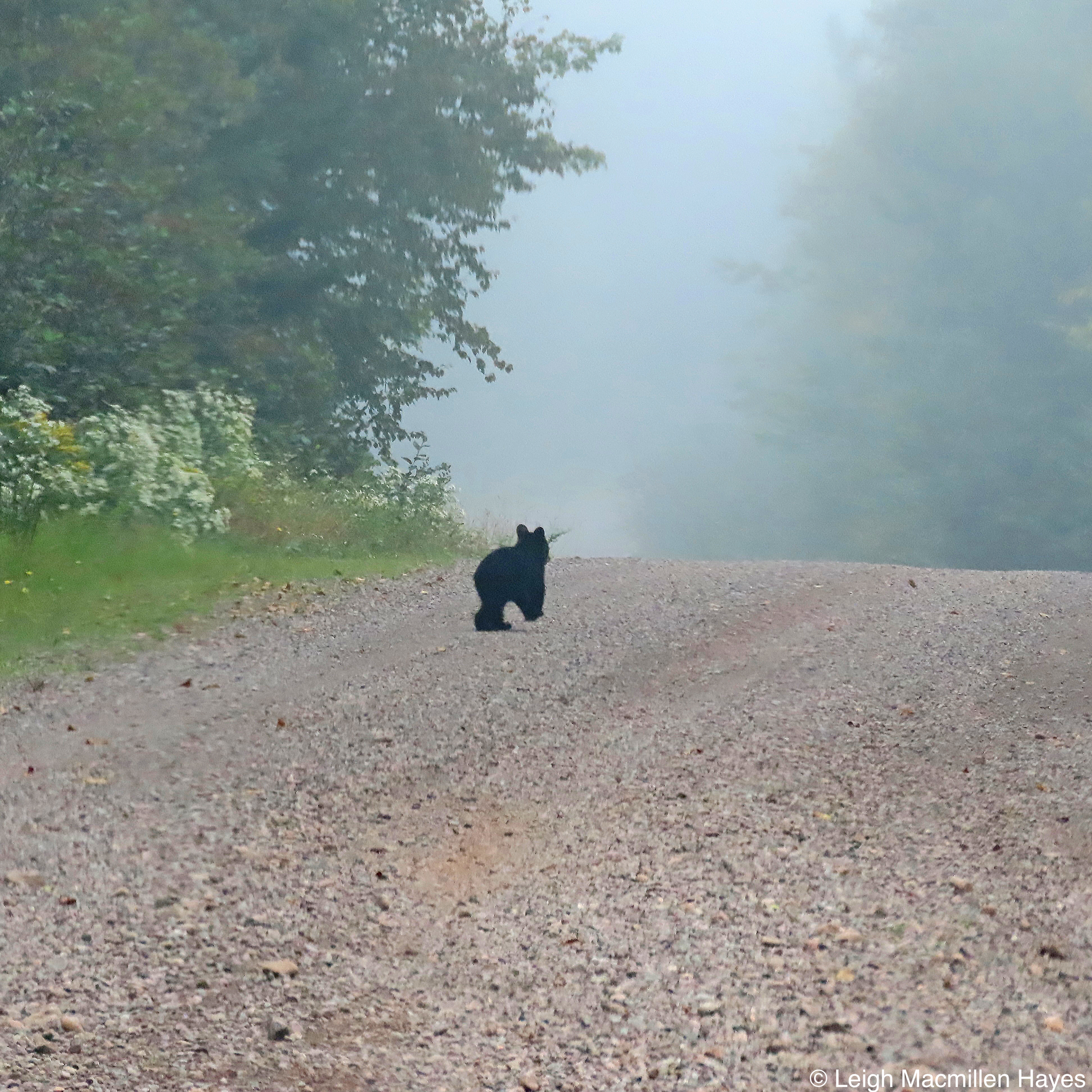
Of the best kind, for on that foggy day as we left Chignecto and eventually made our way to Joggins, we allegedly spotted momma bear and a cub cross the road. As I reached for my camera, a second cub crossed the road. I told My Guy to not start driving again because I thought we might see a third cub, and Bingo! He scampered out of the woods and racced up the road as if saying, “Hey guys, wait for me.”
The treasures of Nova Scotia. Indeed.


You must be logged in to post a comment.