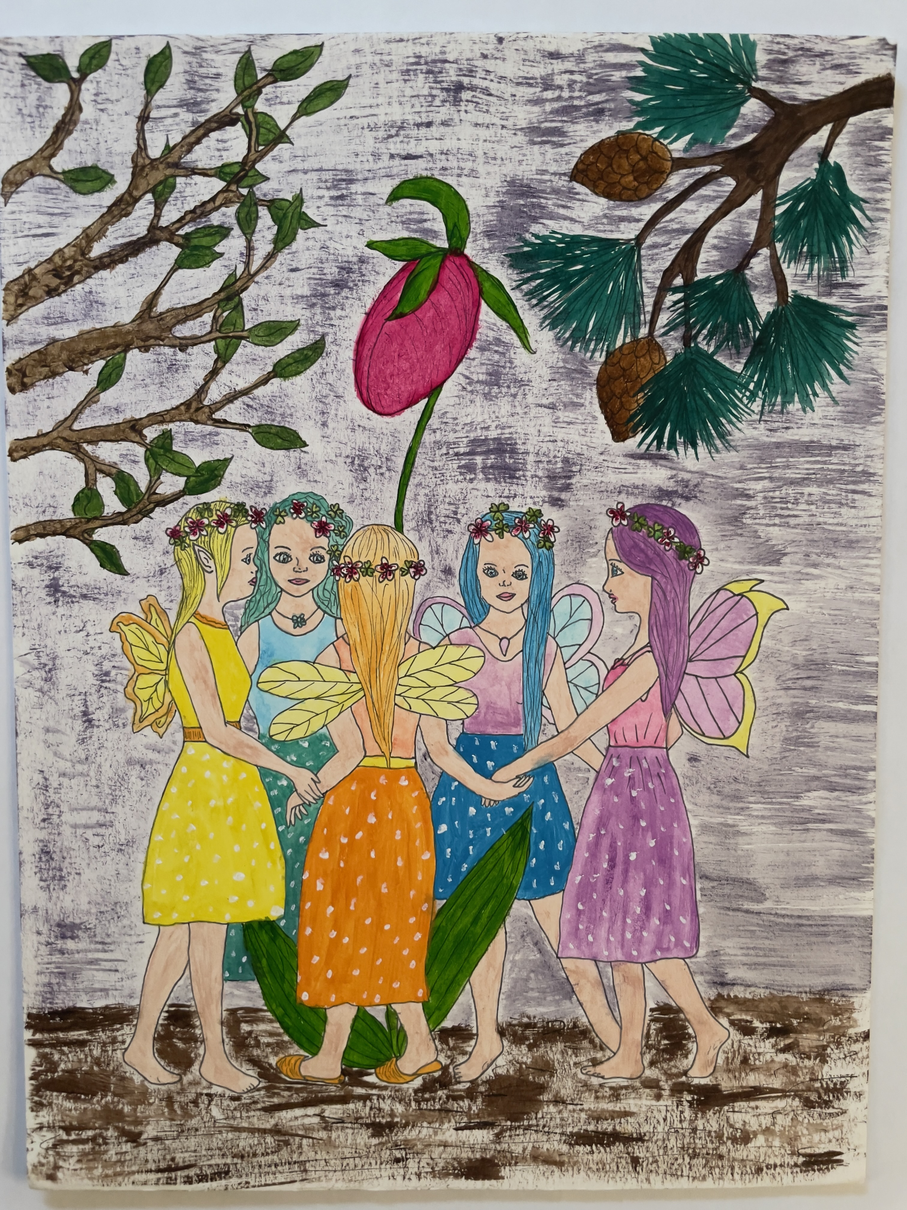
I did a thing. Years ago I wrote a children’s story. Well, a bunch of them actually. And I tried to sell this particular one to publishing houses. No takers. Then, a couple of years ago I purchased a Fairy Coloring Book created by the one and only Solana, teenage daughter of the Fly Away Farm Wards in Lovell and Stow, Maine, and approached her about illustrating my fairy tale. She took on the task and did an amazing job. Then I asked copyeditor Pam Marshall to wave her magic wand over it. And I asked local graphic designer Dianne Lewis to use some fairy dust and turn it into an actual book. I always said I’d never self-publish a book. And tada: I did just that. And now it’s even better because it’s published by http://www.indieauthorbooks.com.
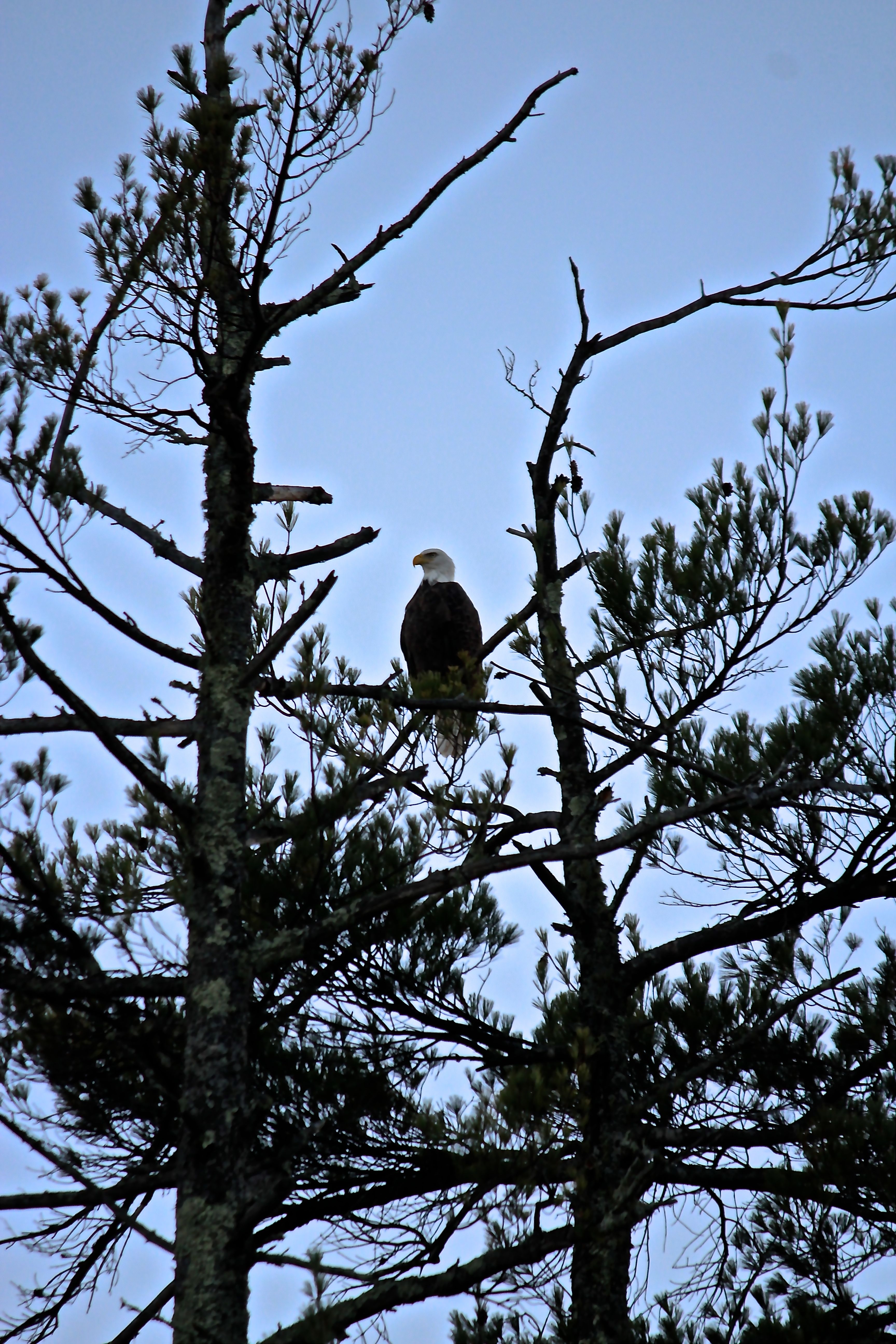
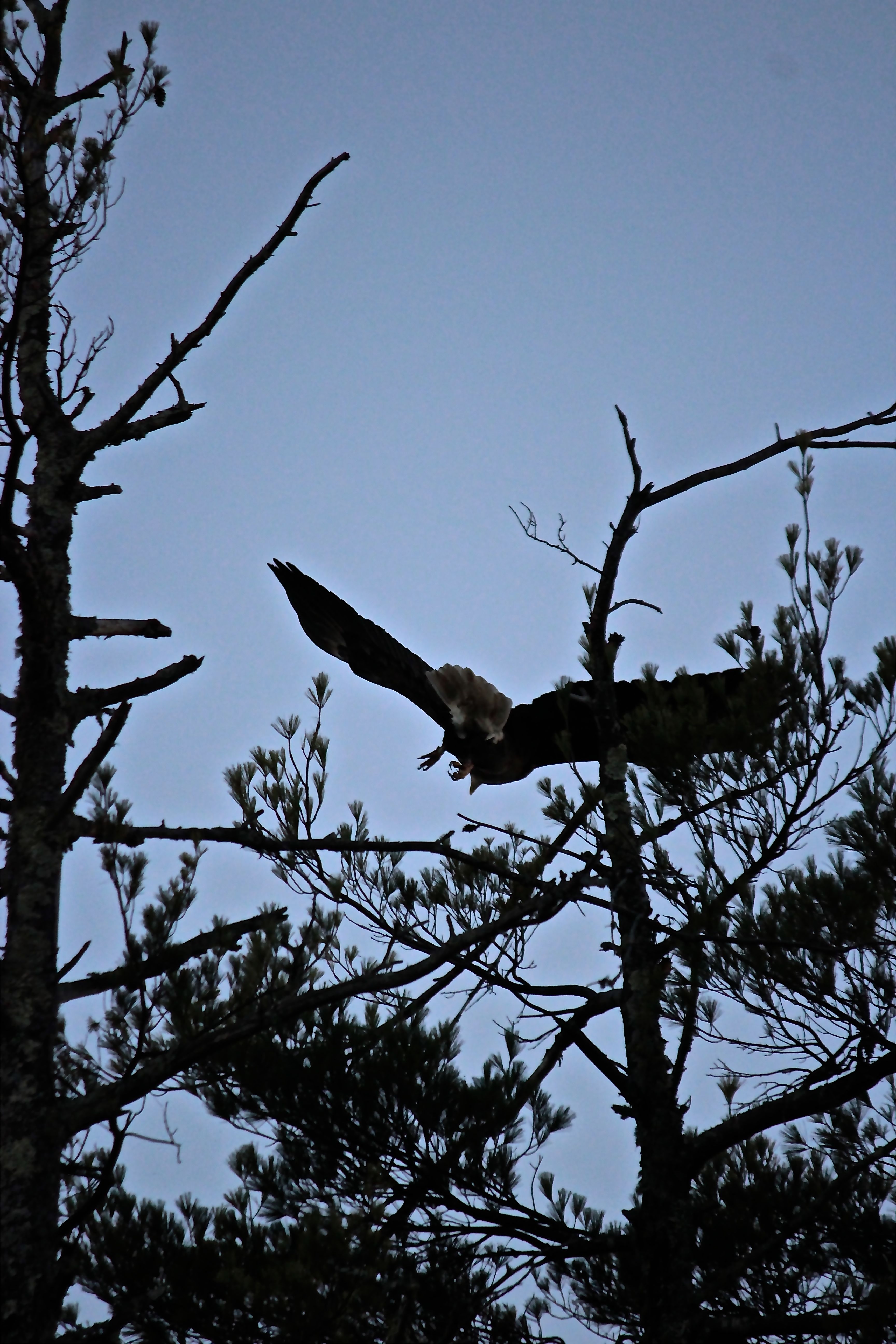
Aisling, a fairy who lives on Sabattus Mountain in the western Maine village of Lovell, has a vision during the Midsummer Eve celebration.
Twinkles, flitters, a bit of fairy dust and some tsk-tsking are necessary to make Aisling’s vision a reality.
If you read the story aloud, I highly encourage you to get all in your audience to participate in saying “Tsk, tsk,” each time Biddie does the same.
You and your children will delight in the story accompanied and the colorful and whimsical illustrations created by artist Solana Ward. In fact, you don’t even need children to enjoy this story.
Marita Wiser, author of Hikes and Walks in and around Maine’s Lakes Region had this to say about the book, “The fairies in The Giant’s Shower will captivate children with their merry life in the forest. It’s not all magical though, as they moved from New Hampshire to Sabattus Mountain in Maine to avoid a certain devil. At least they thought the giant was a devil, but the situation wasn’t what it seemed at first. Both the writing and the detailed illustrations capture many features of the woods of northern New England, and the fun of fairy life and houses.”
A naturalist and writer, many of you know that I hike frequently in Maine and New Hampshire, and those adventures inspired this story. I feel the fairies’ magic whenever I’m among moss-covered ground and tree stumps.
Included in the book are directions to the two featured settings, Sabattus Mountain and Arethusa Falls, featured in the photo above. Both are easily accessible for young hikers who might experience some magical moments while exploring.
Also included is a list of character names and their explanations, as well as instructions to create fairy houses and fairy dust.
The Giant’s Shower is available for $16.99 at Bridgton Books, Hayes Ace Hardware, Fly Away Farm, or by contacting me: thegiantsshower2023@gmail.com. Cash, check, or Venmo all work.
I do charge an extra $5.00 for shipping and handling if you ask me to send it to you.
Please consider purchasing a copy, or ten, as the book does make the perfect present.
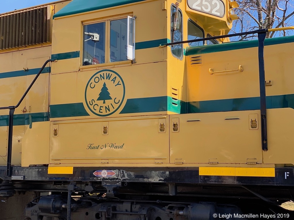
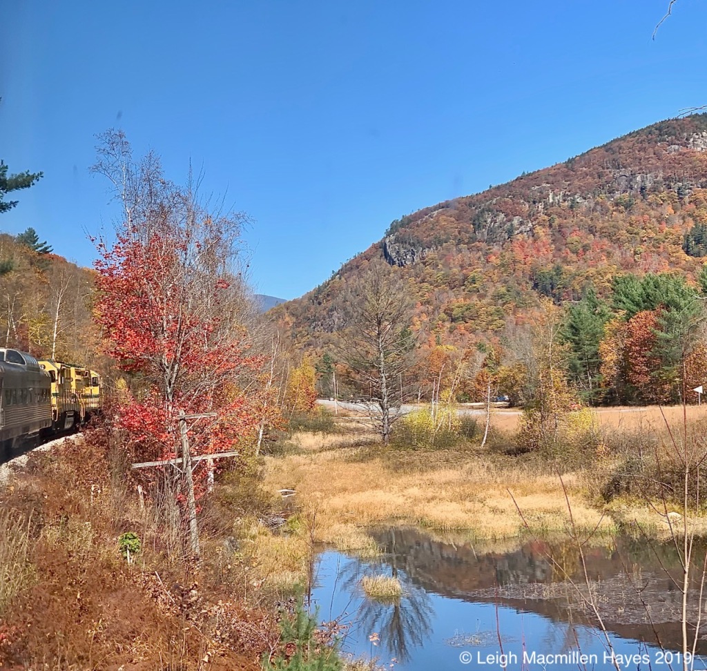
His birthday present several weeks ago was a Cat’s Meow replica of the North Conway Scenic Railroad (from my collection) and a note: October 21, 11:00 am – 4:00 pm. Be there!!
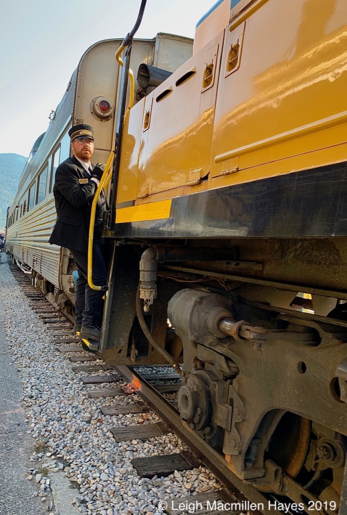
This morning I drove him there. No, I wasn’t the engineer of the train, but rather the conductor of his entertainment schedule.
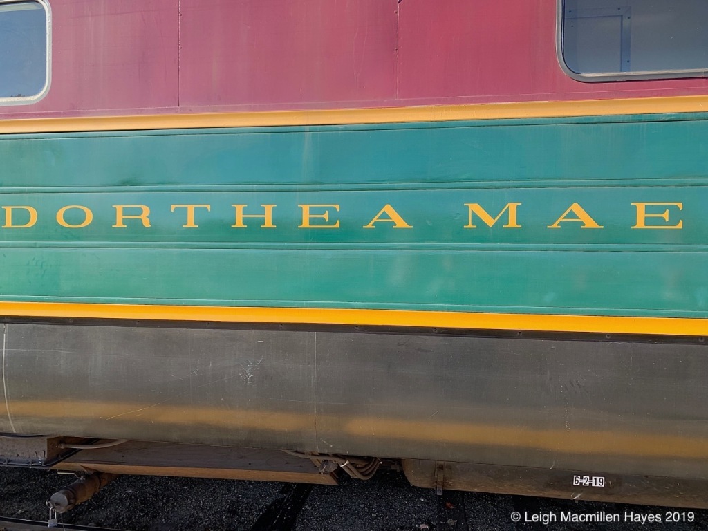
Our chosen car, the Dorthea Mae, was built in the mid-1950s for transcontinental service in the United States and turned out to be the perfect choice for this adventure. We’ve ridden the Conway Scenic train before–several times when our sons were young and we took the one hour ride from North Conway to Conway, New Hampshire, and once for an anniversary celebration as we enjoyed dinner on the Bartlett Route. But for all the times we’ve driven along Route 302 through Crawford Notch and looked at the scary trestles hugging the mountains, we always said we’d love to take the longer ride. Well today, that became a reality.
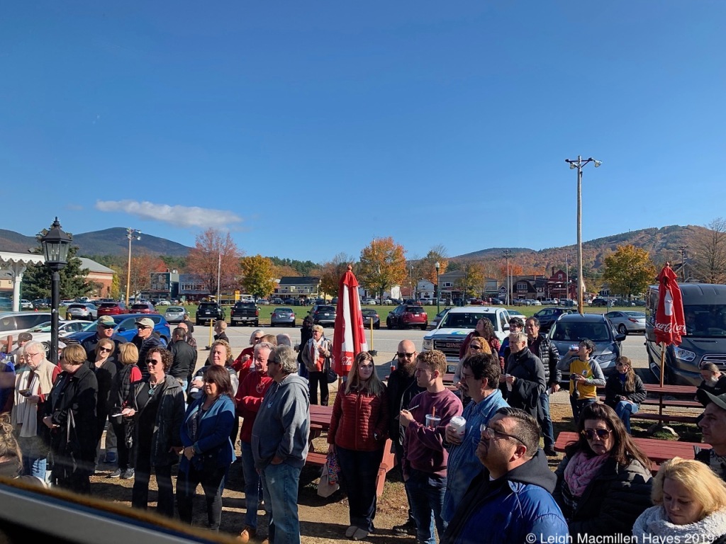
Group by group, riders were welcomed to climb on and find their assigned seats. Ours was located opposite a delightful and chatty couple from Iowa, MaryPat and Ron.
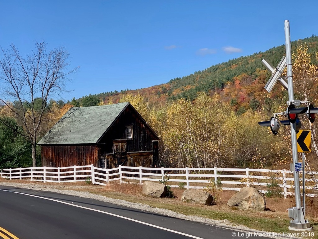
For us, part of the fun was recognizing familiar spots along the rail, including a rail crossing on Route 302 by a historic barn.
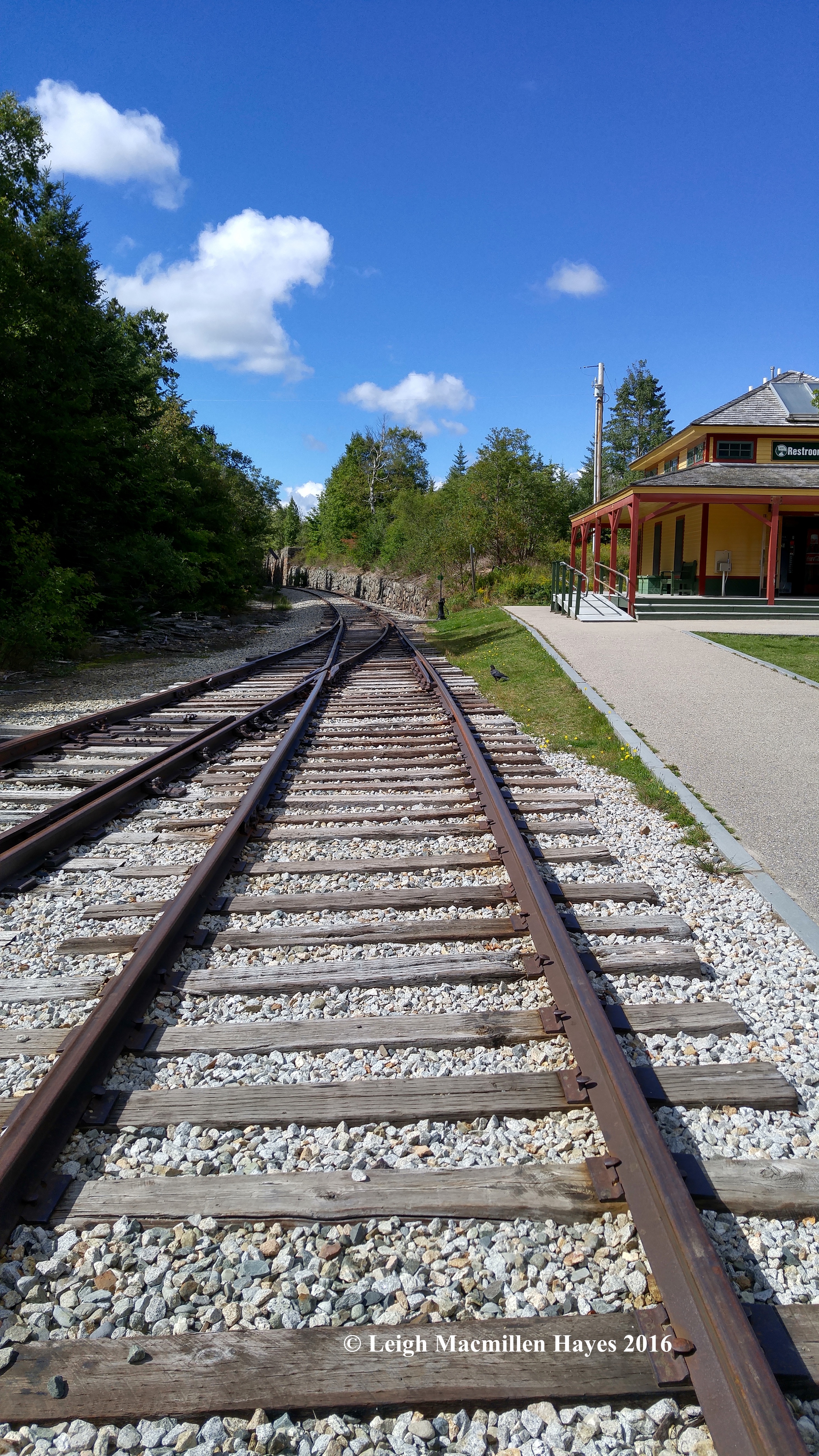
Through the village of Bartlett we travelled along rails originally laid down in the 1870s for what was once the Maine Central Railroad’s famed Mountain Division Trail.
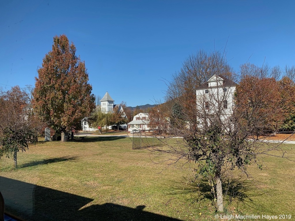
The church to the left is the Union Congregational Church on Albany Avenue, and to the right the Odd Fellows Hall, a historic fraternal society.
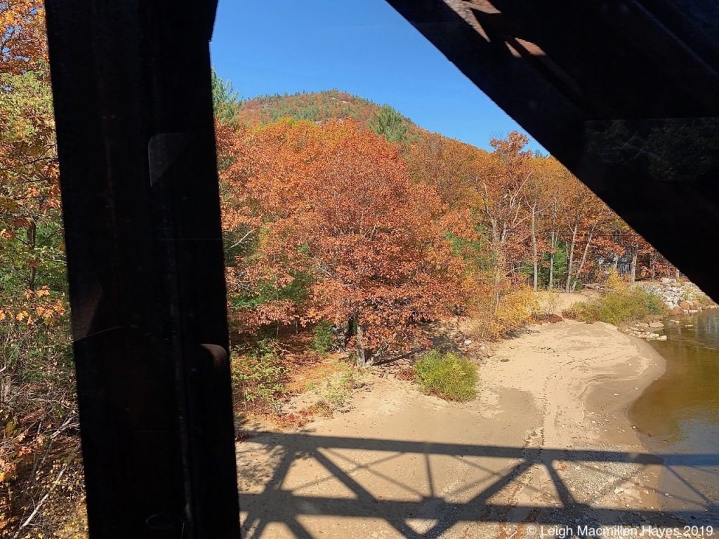
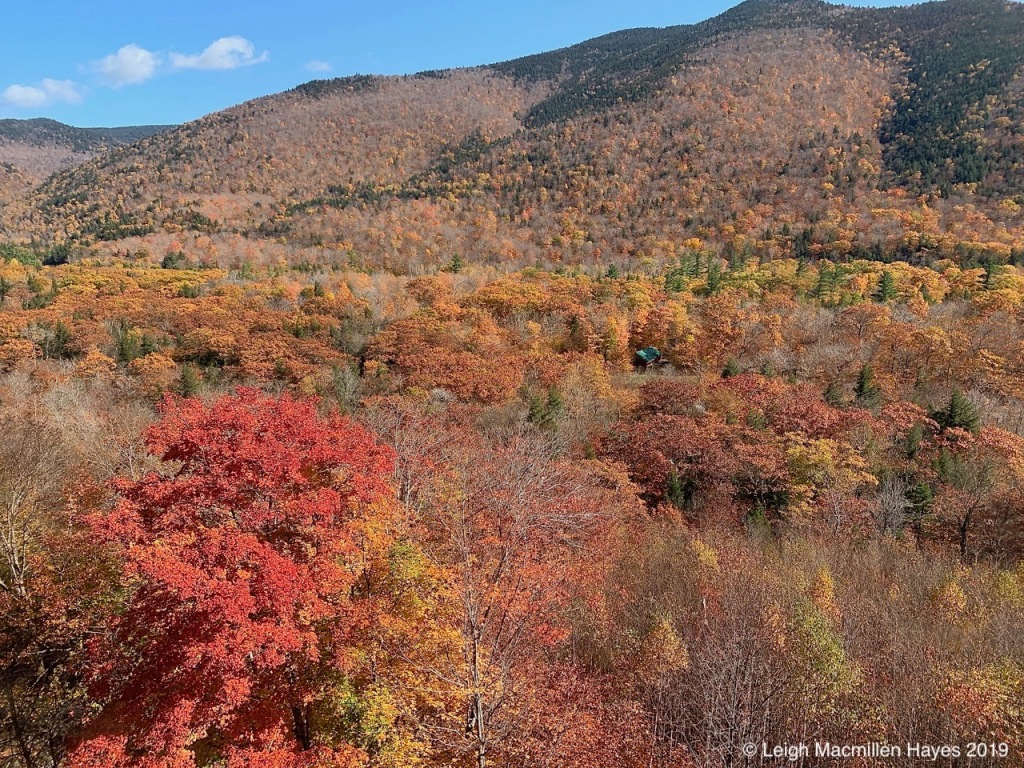
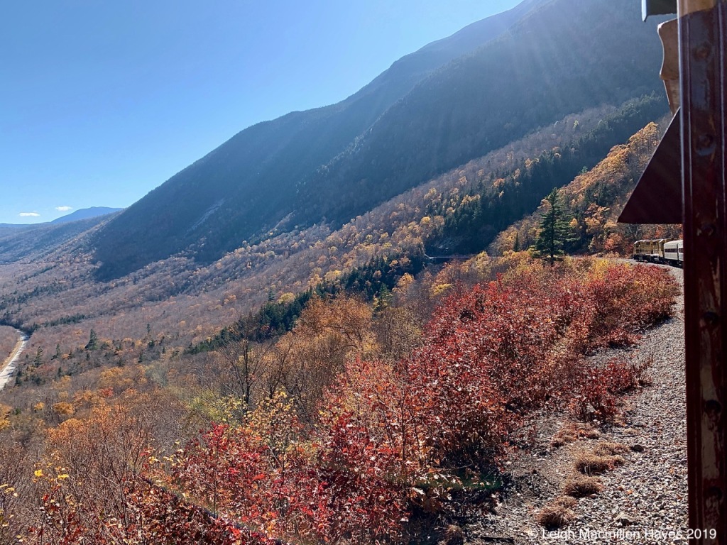
Early on we crossed trestles over several rivers where shadows, angles, curves, and foliage delighted our eyes.
As we headed toward Crawford Notch, again it was the same, only different, with ever the click-clack of motion providing a new vista that captured our awe.
History presented itself over and over again, with old rail ties and power poles dotting the landscape–obscured for a wee bit longer by the golden hues of the forest.
Knowing that today was the only date available when I’d booked the trip, and in fact, that we got the last two seats on the Dorothea Mae, we wondered how much color we might see given that we were traveling north. It was past peak, but still . . . one Red Maple stood out amongst the yellowy-orange-bronzes of the landscape.
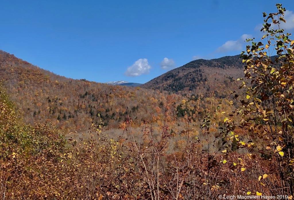
There was also some white to view–not only the few clouds, but the summit of Mount Washington with a recent coating of snow and rime ice.
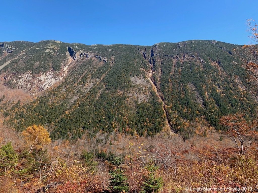
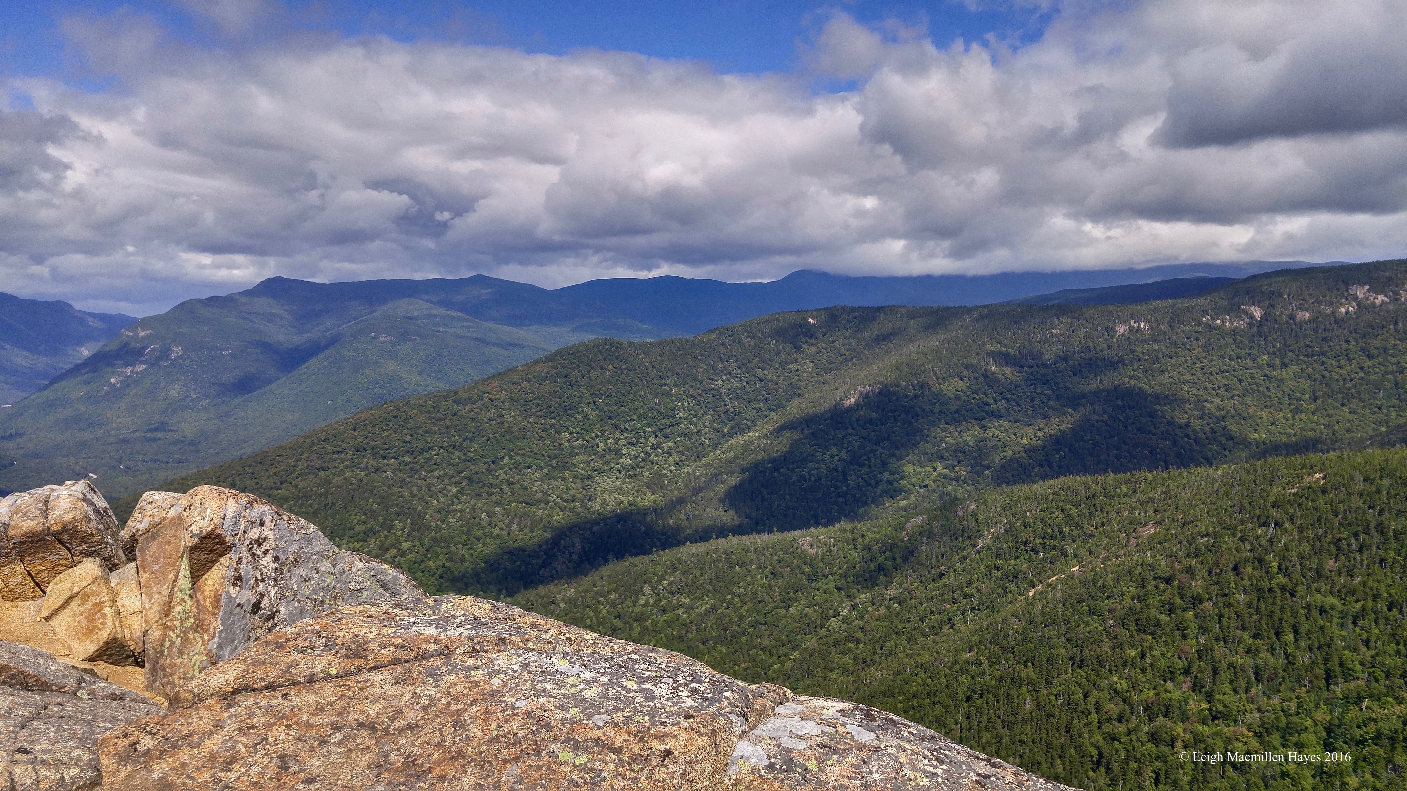
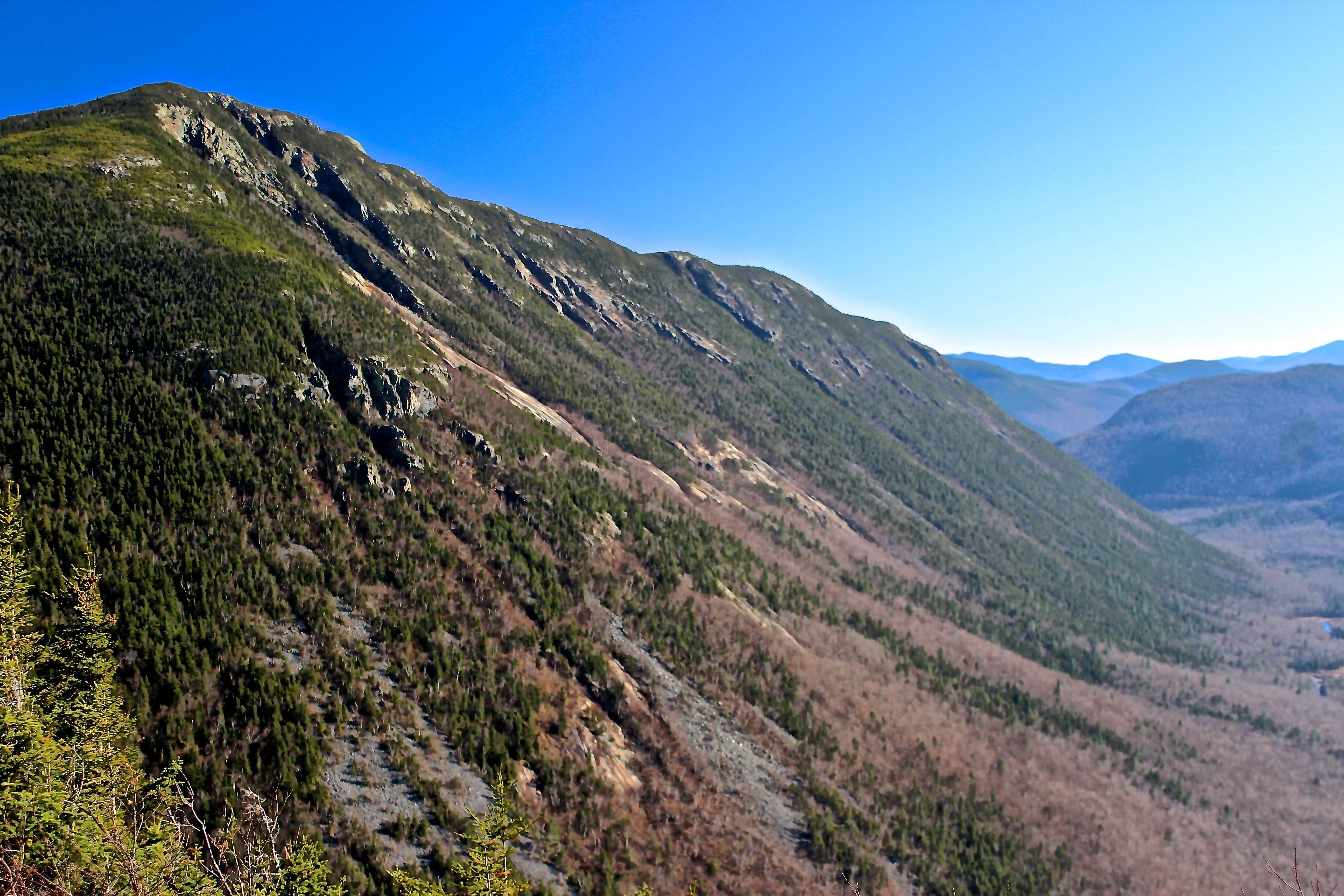
The ridgeline of Mount Webster, forming the eastern side of the U-shaped glacial valley which forms Crawford Notch, stood crisp and clear as we headed north.
The mountain was named for Daniel Webster, a statesman and orator born in Salisbury, New Hampshire, which is present day Franklin where I began my former teaching career in 1980.
From our seat on the train, looking south, Mount Webster was on the left, Route 302 between, and Mount Willey on the right forming the western side of the U.
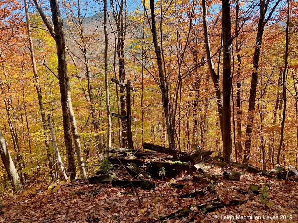
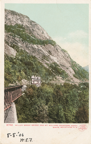
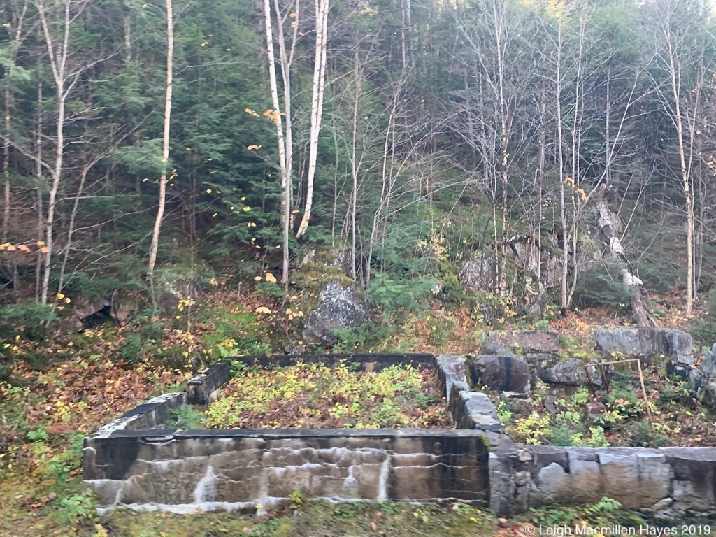
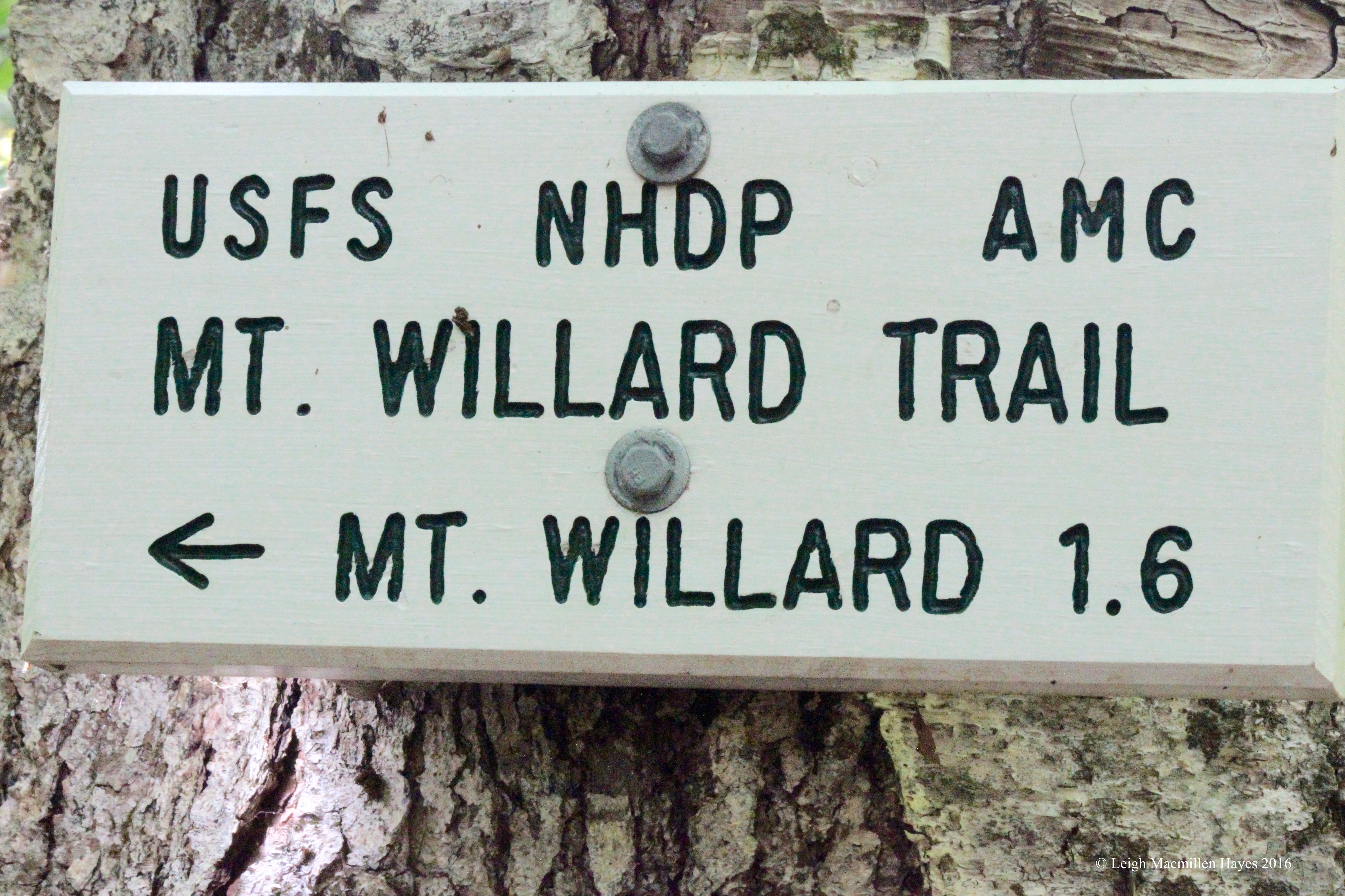
By Mount Willard, we heard the story of the section house that stood here in the 1900s.
Willey Brook Bridge is Crawford Notch, New Hampshire
https://digitalcollections.nypl.org/items/510d47d9-a2cf-a3d9-e040-e00a18064a99
Detroit Publishing Company Collection, Photography Collection, Miriam and Ira D. Wallach Division of Art, Prints and Photographs, The New York Public Library, Astor, Lenox and Tilden Foundation
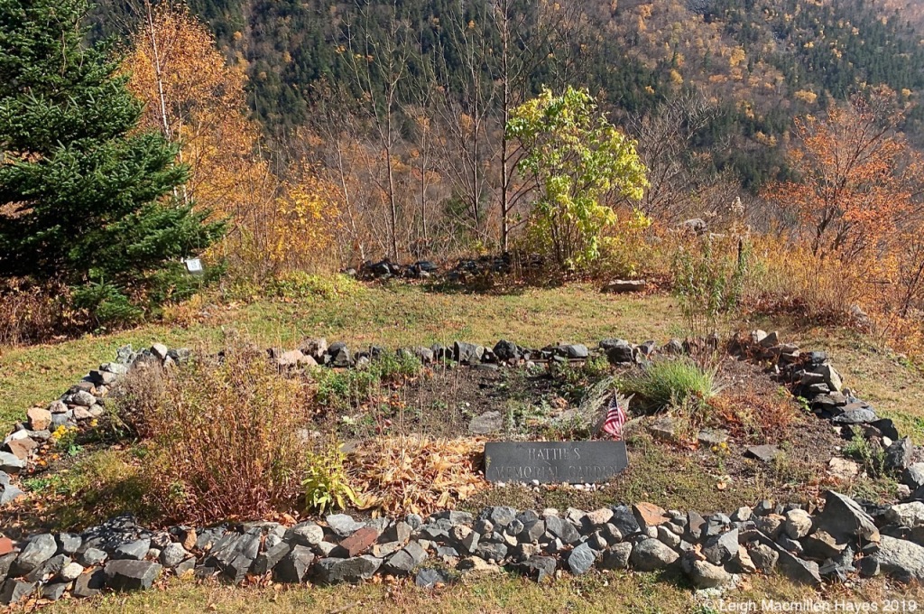
Our narrator, Denise, spoke of the Mt Willard Section House built in 1887 for section foreman James E. Mitchell, his family, and crew who maintained Section 139 of the railroad. Loring Evans became foreman of Section 139 in 1903. He was killed ten years later in a railroading accident at Crawford’s yard, but his wife, Hattie, raised their four children and despite all odds ran the Section House until 1942. It was Hattie’s job to house and feed the men who worked on the shortest yet most treacherous stretch of the rail.
A memorial garden still honors her work.
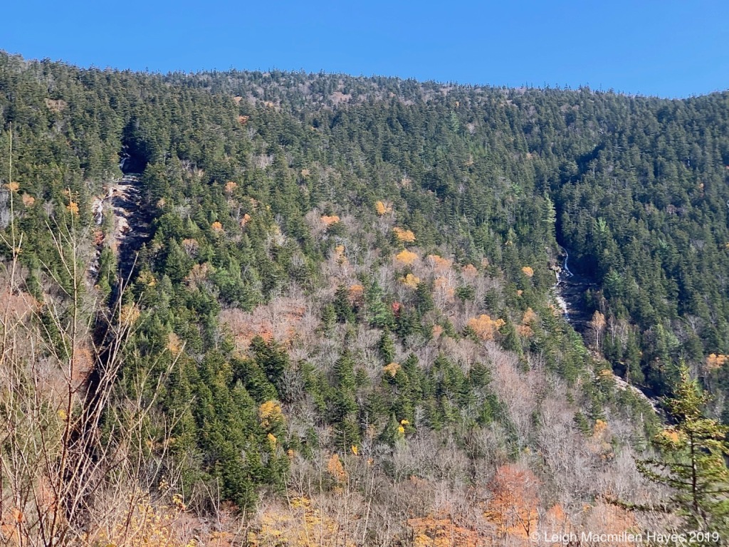
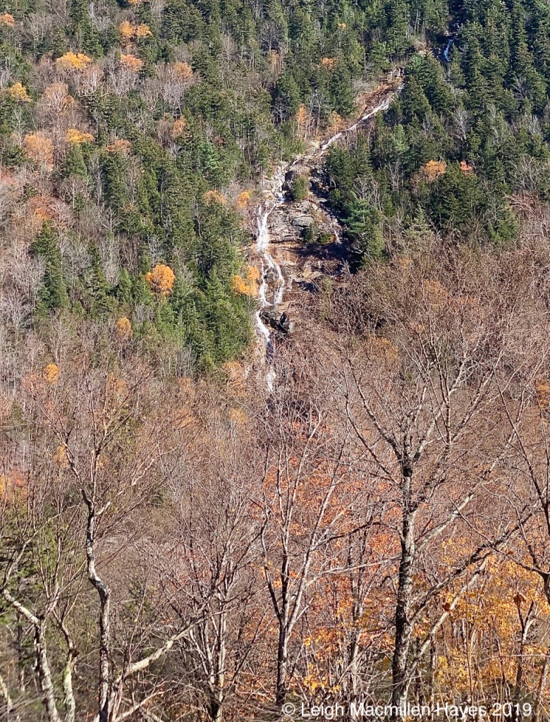
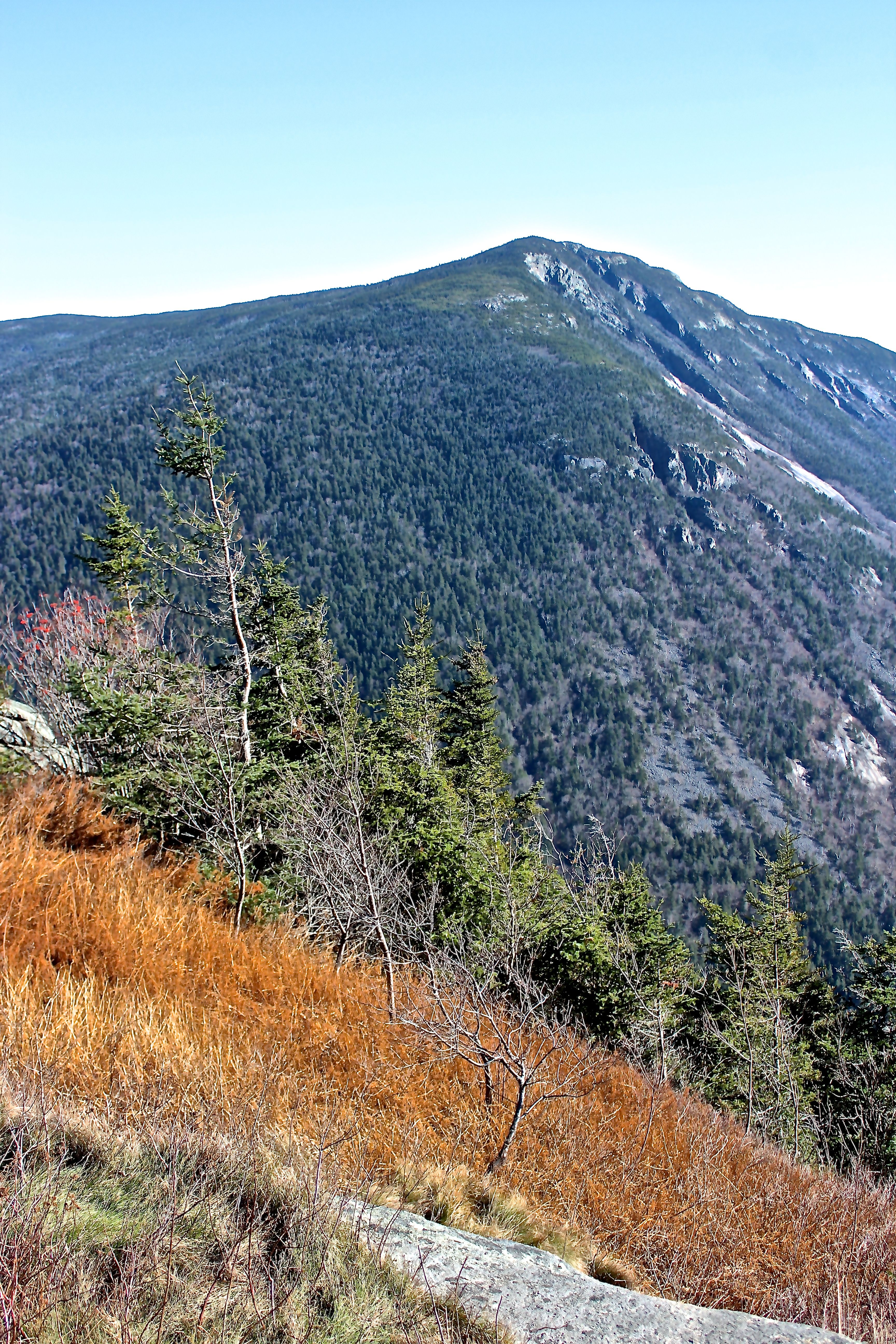
Below Mount Jackson, across the way, two waterfalls graced the scene. Typically, we’ve viewed them one at a time, but from the train, both Flume and Silver Cascades were visible as water raced down the mountain’s face.
This being Silver, but both looked like traces of chalk from our position.
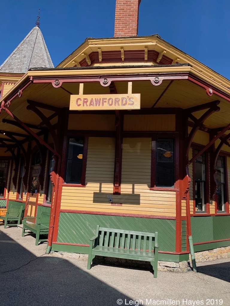
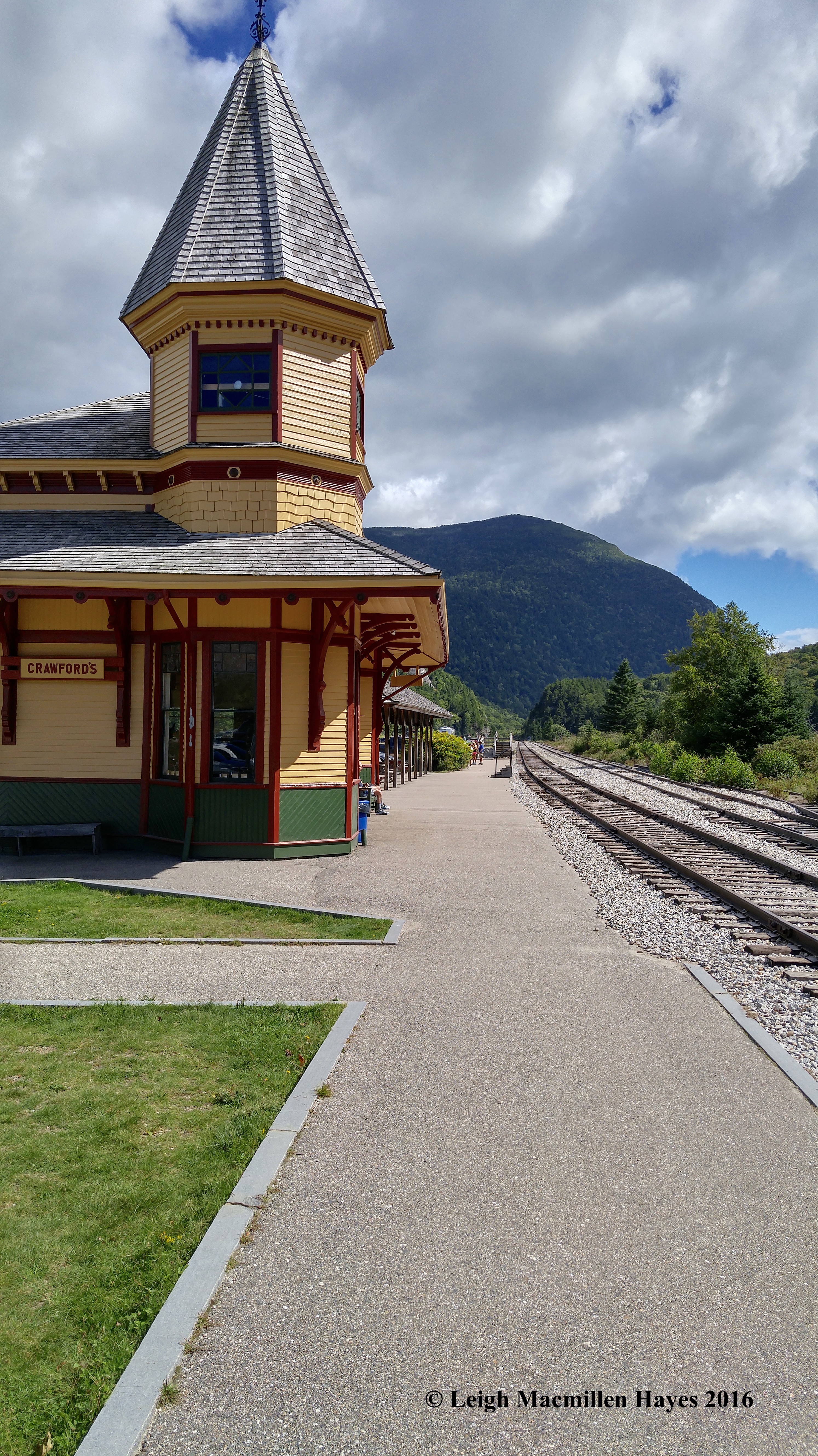
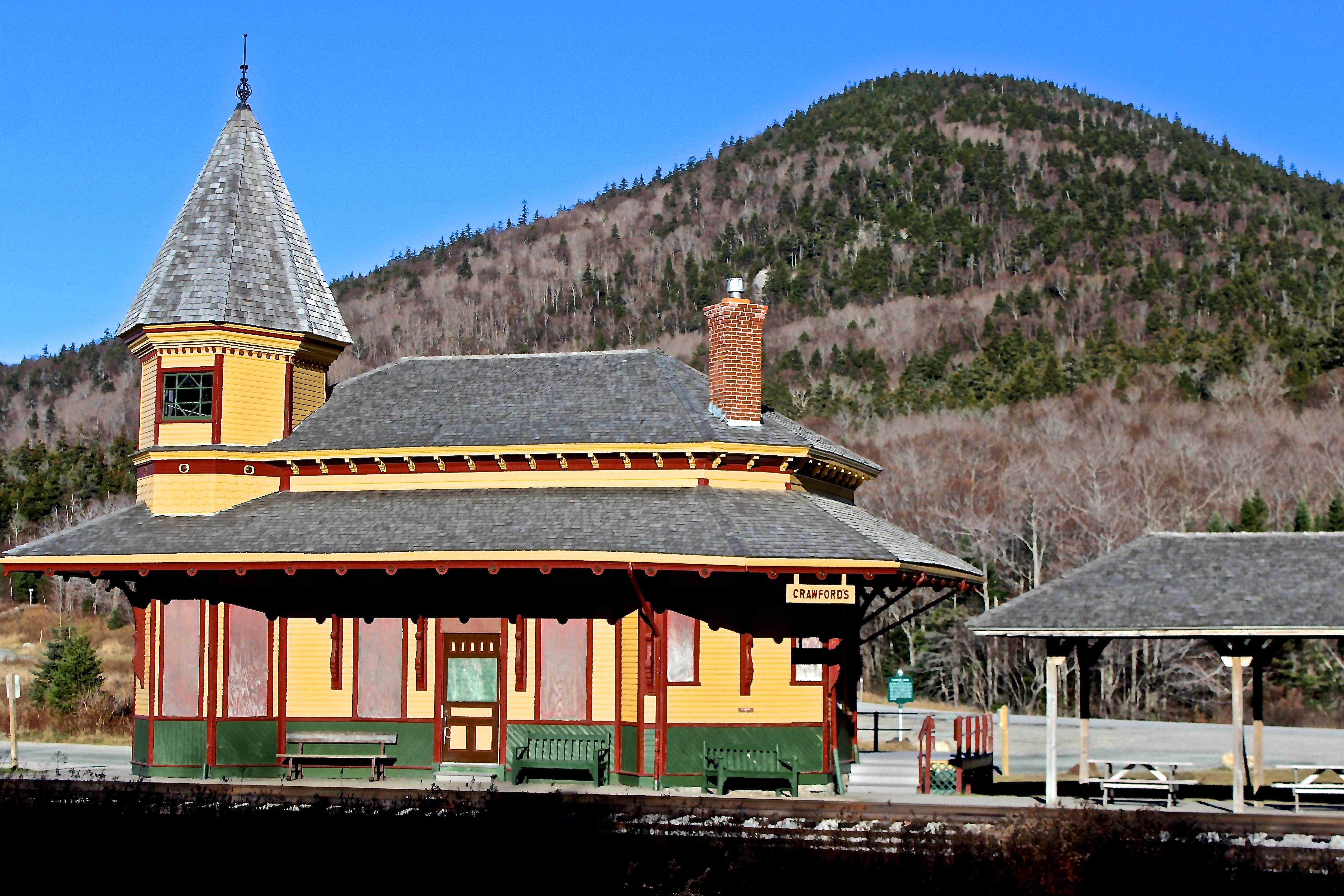
Two hours after our journey began, we arrived at Crawford’s Depot.
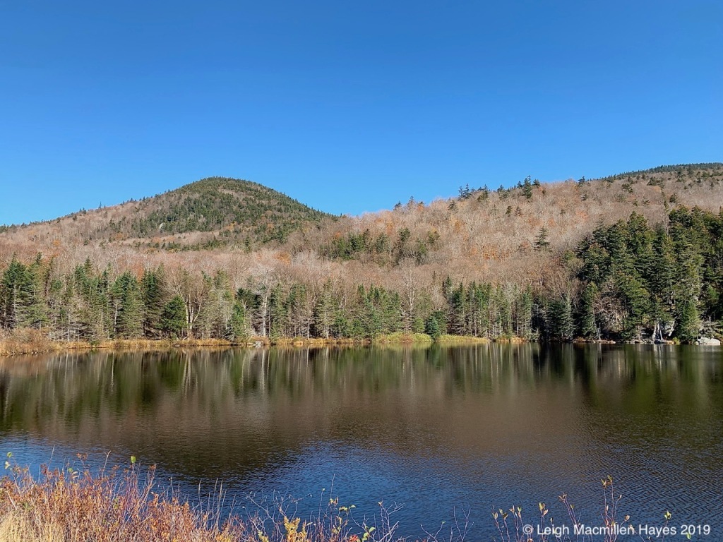
Disembarking, and with an hour to ourselves, my guy and I ate a picnic lunch that included chicken salad sandwiches enhanced with home-made cranberry-orange relish, and then we crossed the road to walk the .4-mile trail around Saco Lake, the origin of Saco River.
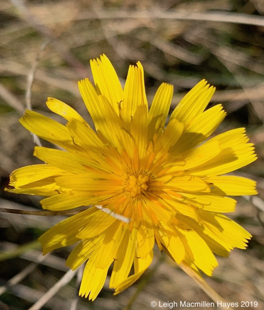
Beside it a few Dandelions flowered. And my guy questioned me. “You’re taking a photo of a Dandelion?” Yup. Never Call it just a Dandelion is the title of a most delightful and informative book. And sooo true. Notice how each ray is notched with five teeth representing a petal and forms a single floret. Completely open as this one was, the bloom was a composite of numerous florets. And can you see the stigmas? Curled and split in two? “Yes, I am taking a picture of a Dandelion because it deserves to be honored. And not pulled from the lawn. Just sayin’. ”
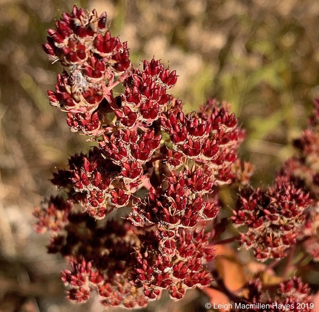
Meadowsweet (Spiraea alba var. latifolia) also posed, its fruit’s five-parted capsules each containing two to four small seeds. It was the color that made me smile on this fall day.
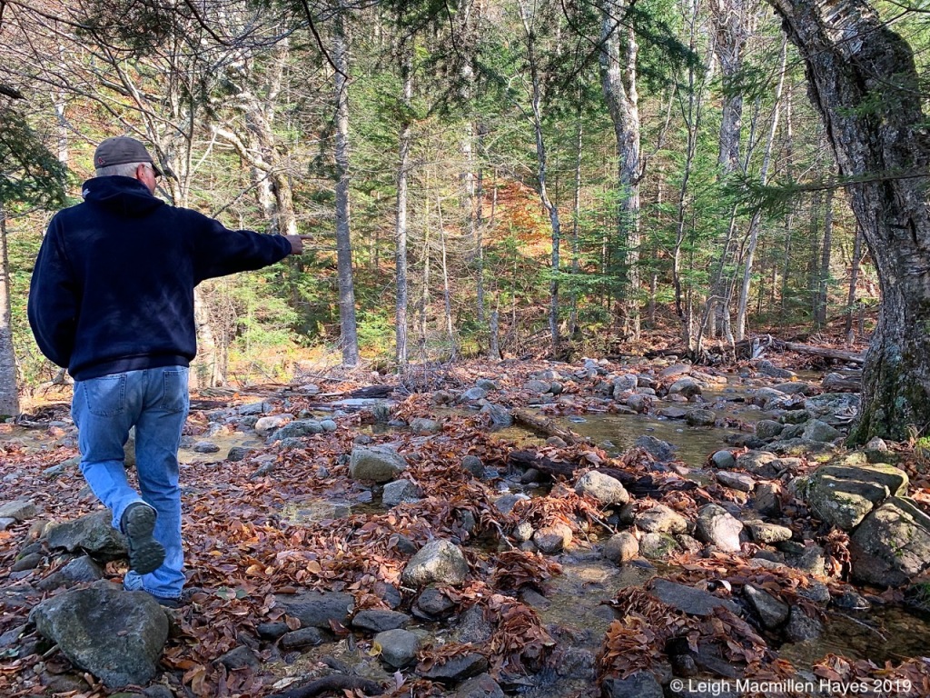
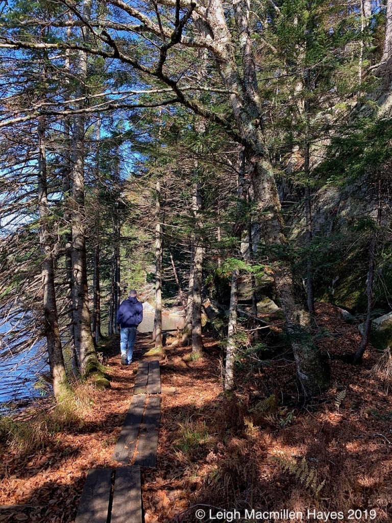
Upon a small bridge where Elephant Head Brook flows into Saco Lake, most people paused and then turned for so wet was the trail. But you know who kept going. Despite wearing sneakers rather than our hiking boots, we found our way and soon moved beyond the wet trail.
We laughed when we discovered a wooden boardwalk in a drier section.
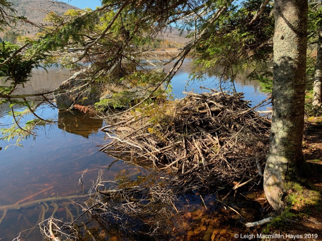
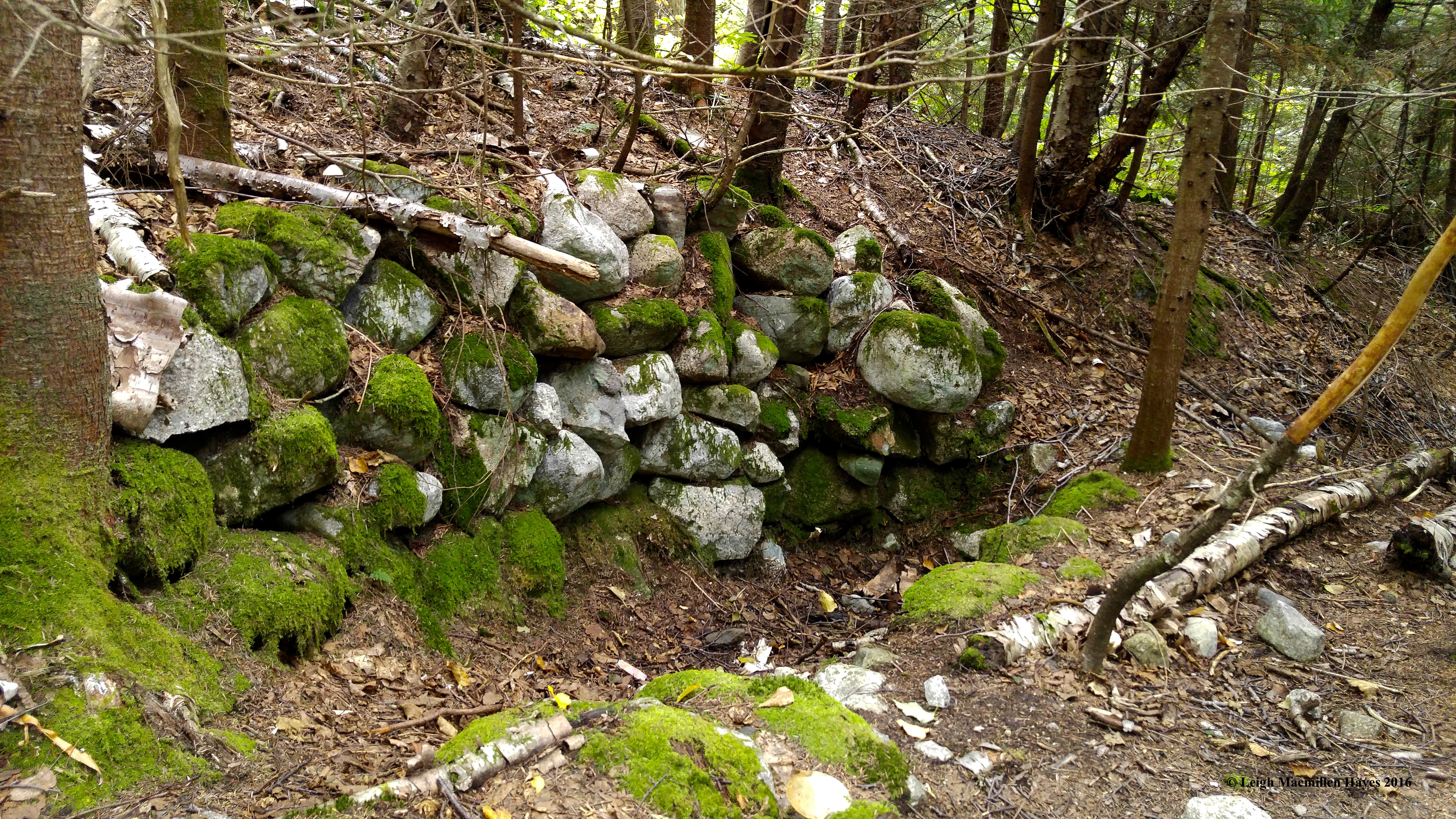
Others had also ventured here and called it home, although based on the lack of new wood, we suspected the beavers had left the lodge. Perhaps they’d moved across the street to the AMC’s Highland Center.
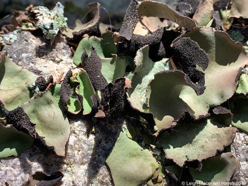
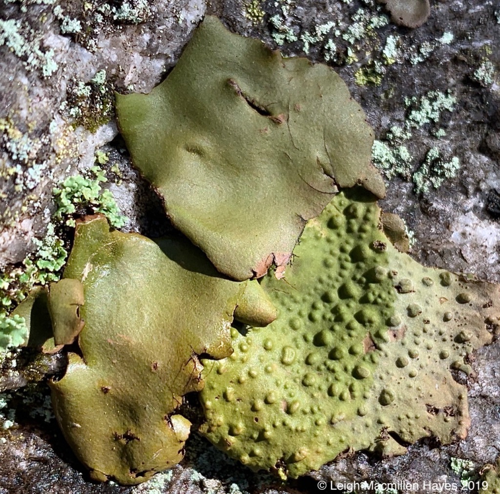
Upon granite that defined the outer side of sections of the trail, Rock Tripe lichens grew, some turning green as they photosynthesized when I poured water upon them.
Always one of my favorite views is the discovery of Toadskin Lichen beside the Rock Tripe, both umbilicate forms.
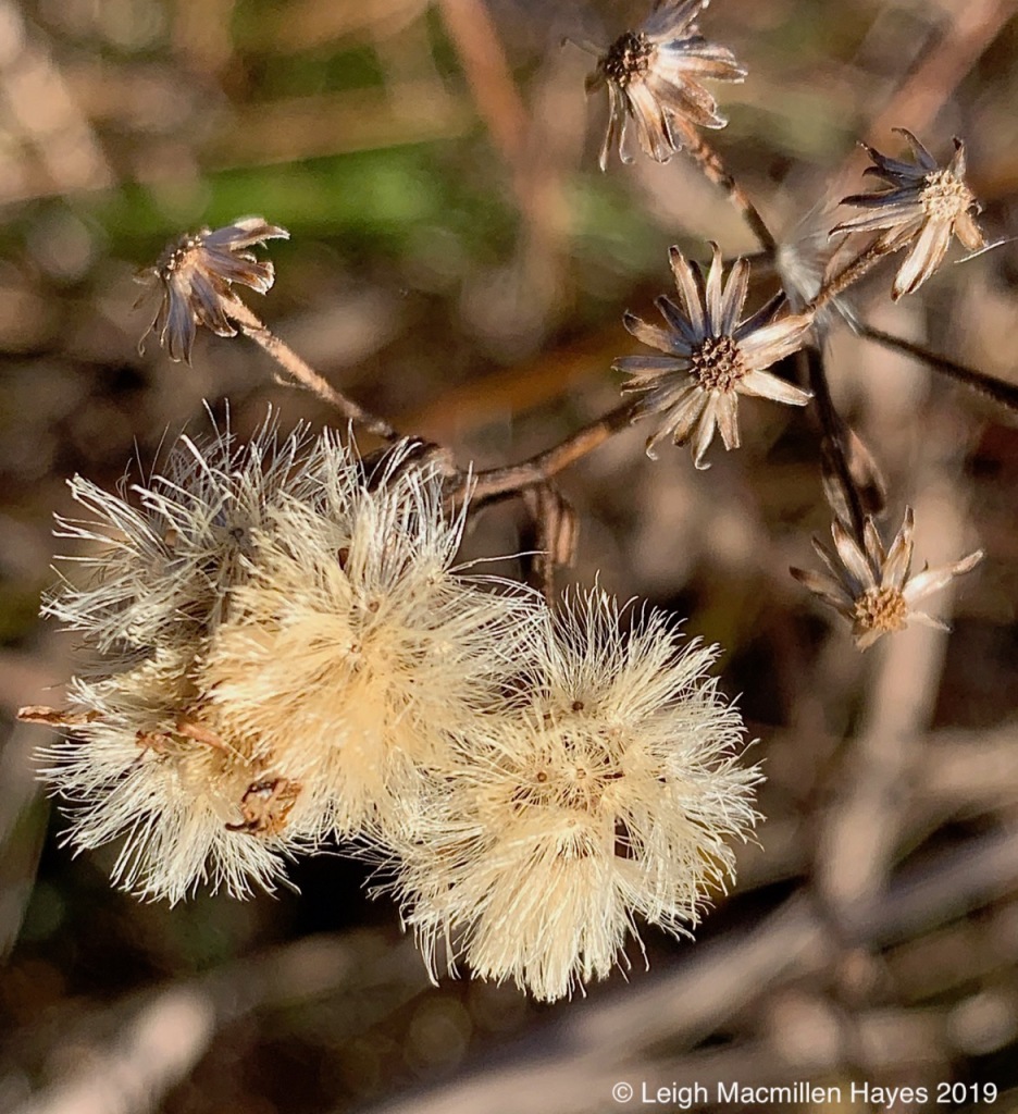
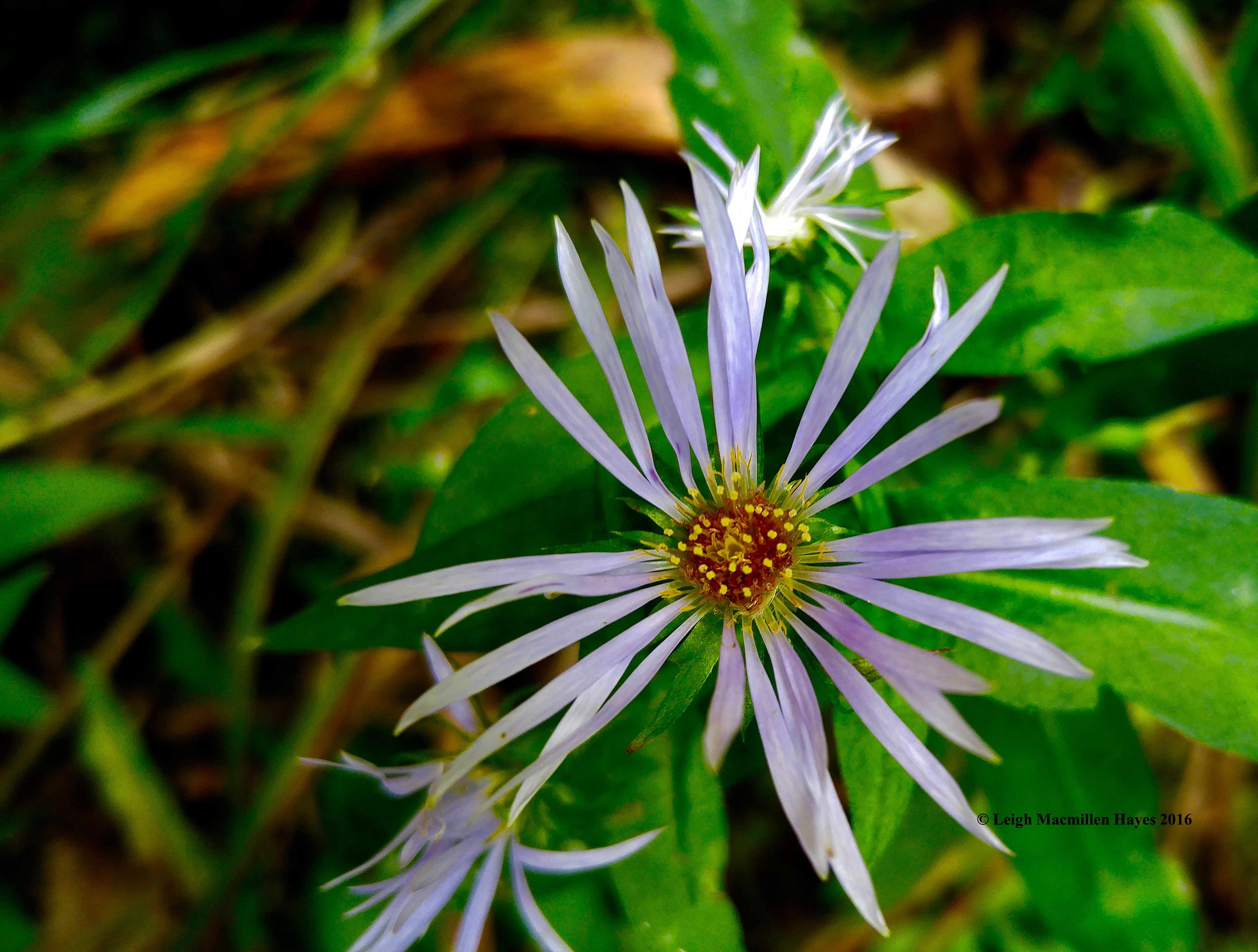
Back to Route 302, asters showed their displays of seeds awaiting dispersal and those older empty nesters forecasting their winter form in a flower-like composition all their own.
Just prior to 2:00pm, we reboarded the train for the journey south.
For the return trip, we’d switched seats with those who sat on the western side of the train for the journey north and so got to spy the Willey foundation. Local lore has it that in 1793, Samuel Willey took his wife, five children and two hired men to live in a small, remote house in the mountains. That year, he and the hired men built a house.
As our narrator said, “In June of 1826, a heavy rain terrified the Willey family when it caused a landslide across the Saco River. Sam decided to build a stone shelter above the house where he thought the family could find safety in case of another landslide. On August 28, 1826, a violent rainstorm caused a mudslide. The Willeys and hired men took refuge in the shelter. The landslide killed all nine of them, but the house they’d fled stood still.” Apparently, a ledge above the house spared it from destruction.
We loved the historical aspects of the trip, as well as the scenery, short hike, and good company.
At the end of the day, we were all smiles for this All Aboard Mondate.
My friend, Ann, and I spent today focused on points close to us, while those in the distance also drew our attention.
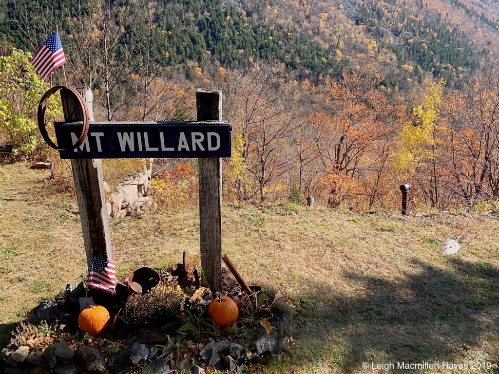
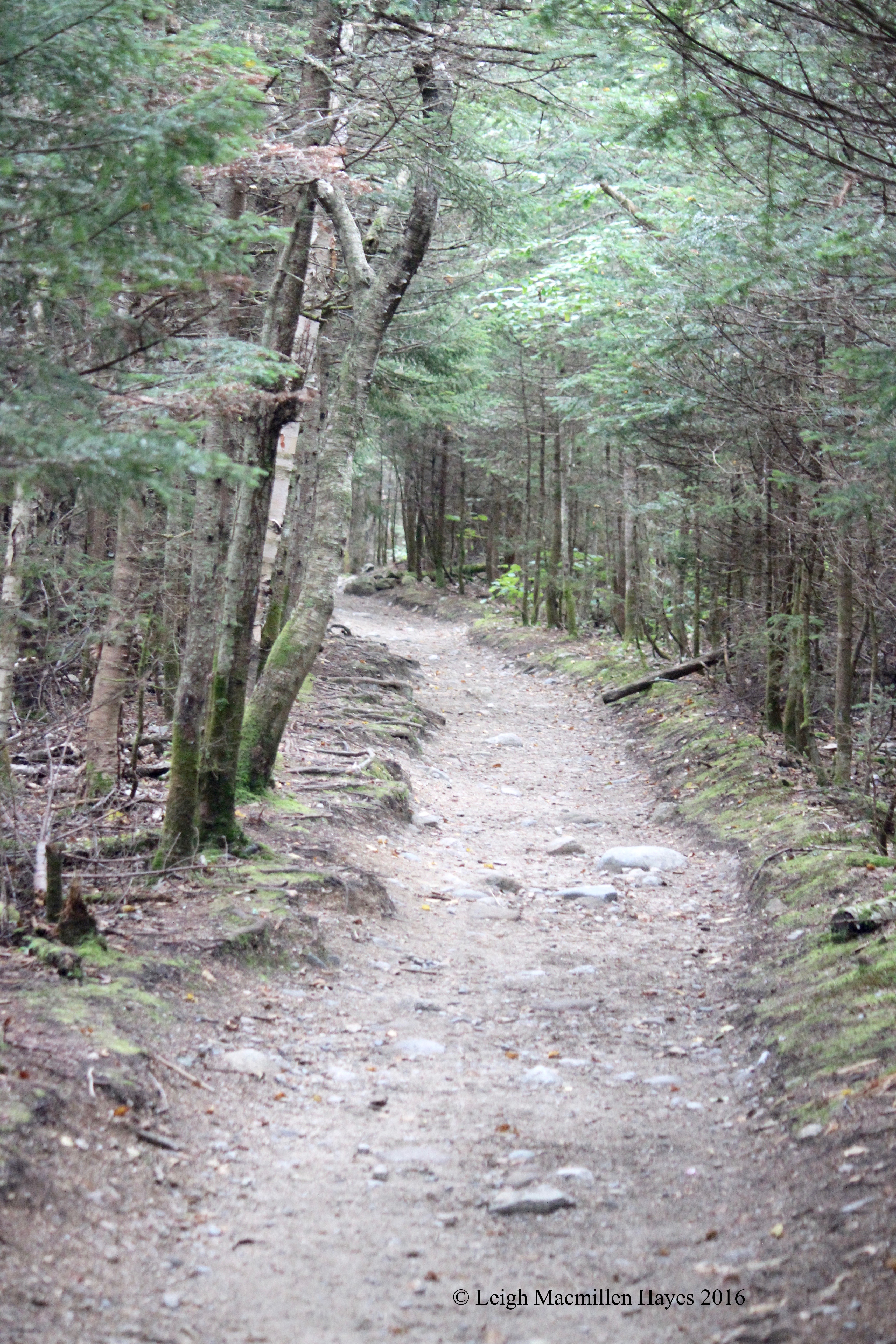
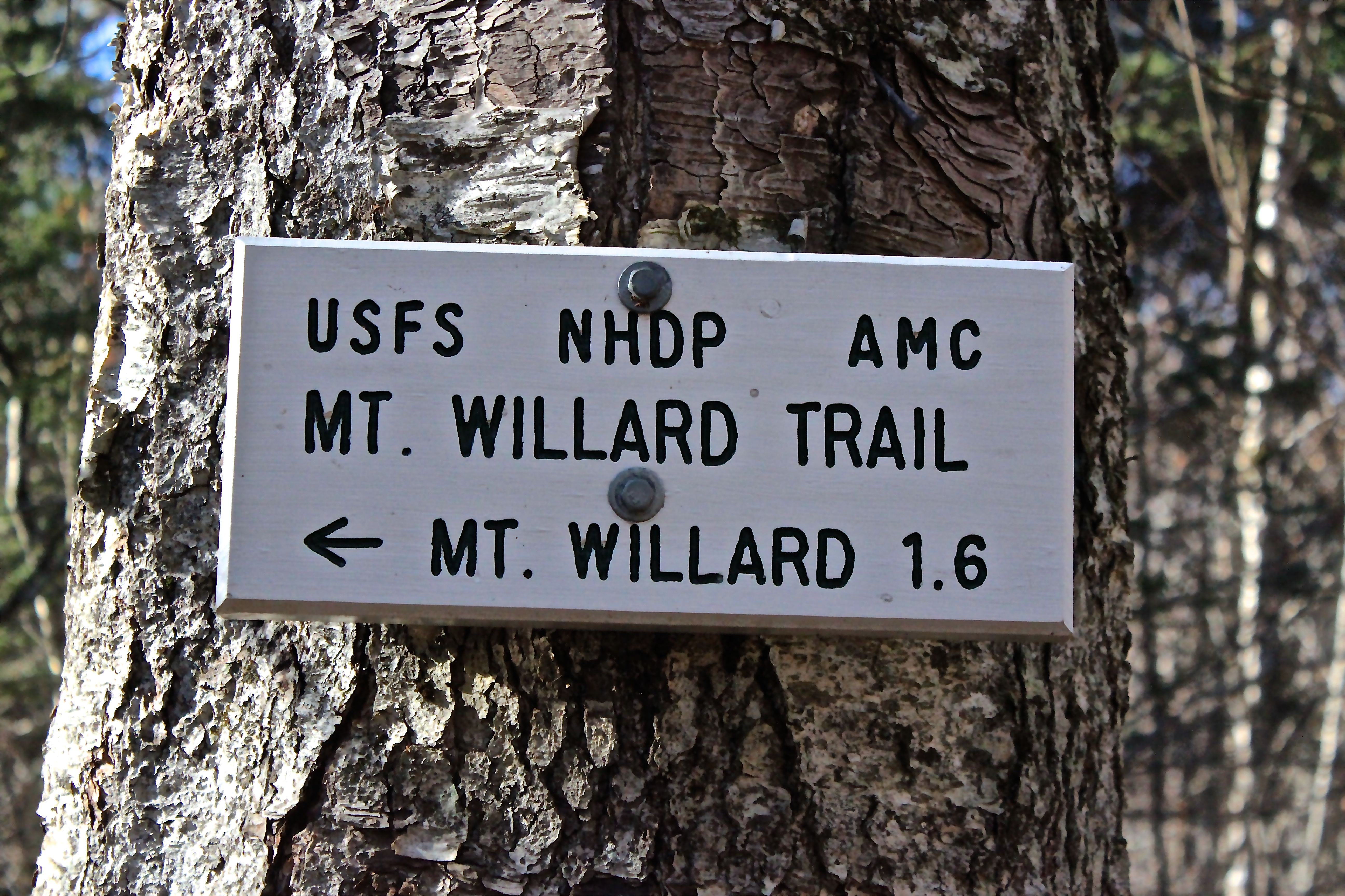
Our chosen trail to accomplish such, Mt. Willard in Crawford Notch State Park, New Hampshire. We began on the Avalon Trail and then turned onto the Mt. Willard Trail. I kept thinking I’d last travelled this way in the early spring, but now realize it was last November that my guy and I ventured forth on a Top Notch Mondate.
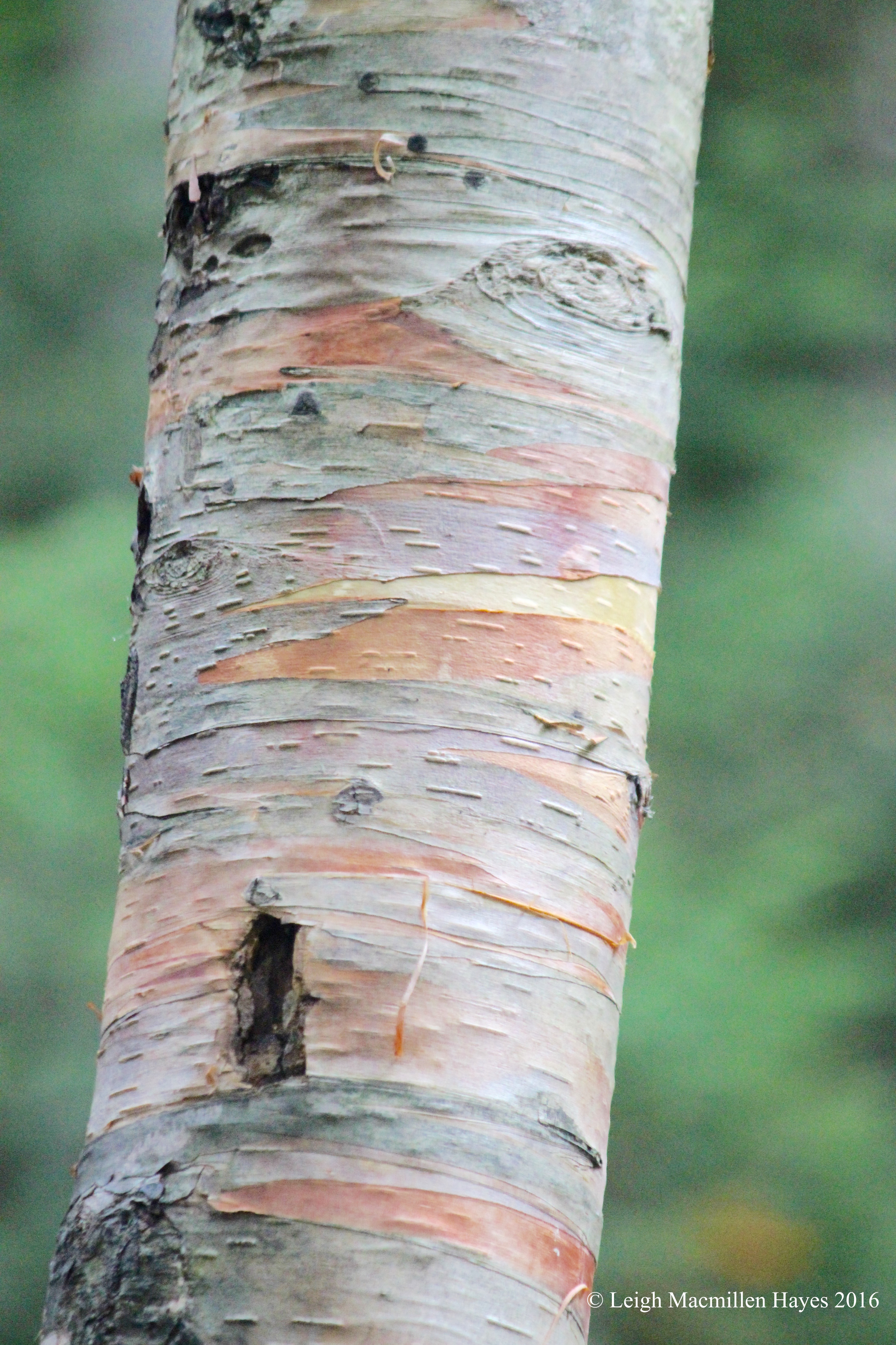
Ann had in her mind that there were several varieties of birch trees along the way. We did marvel at pastel colors revealed by the paper birch.
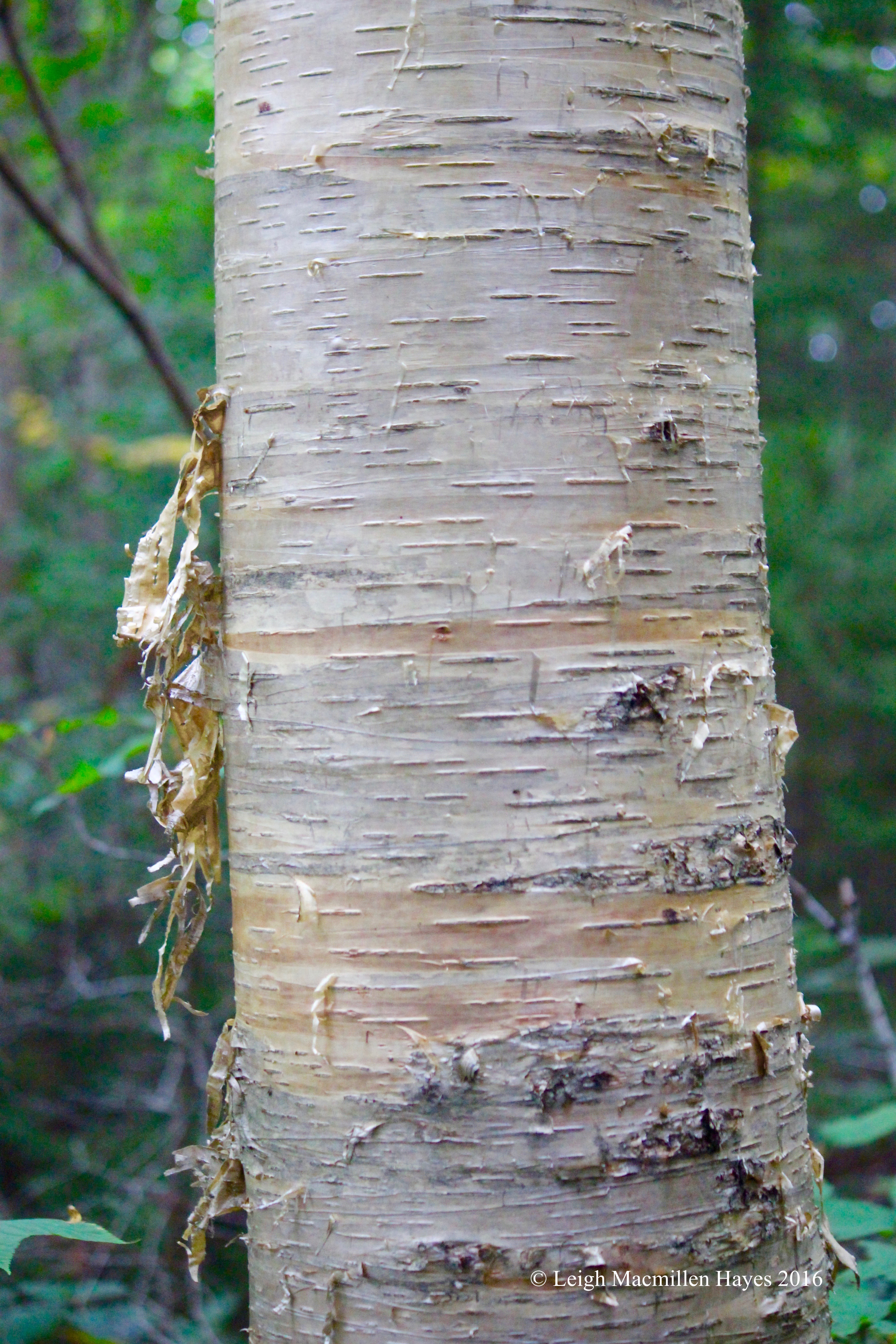
And the golden ribbony peeling of the yellow birch. But those were the only two birch species we saw over and over again. It had been a while since she’d last hiked here so the forest had changed.
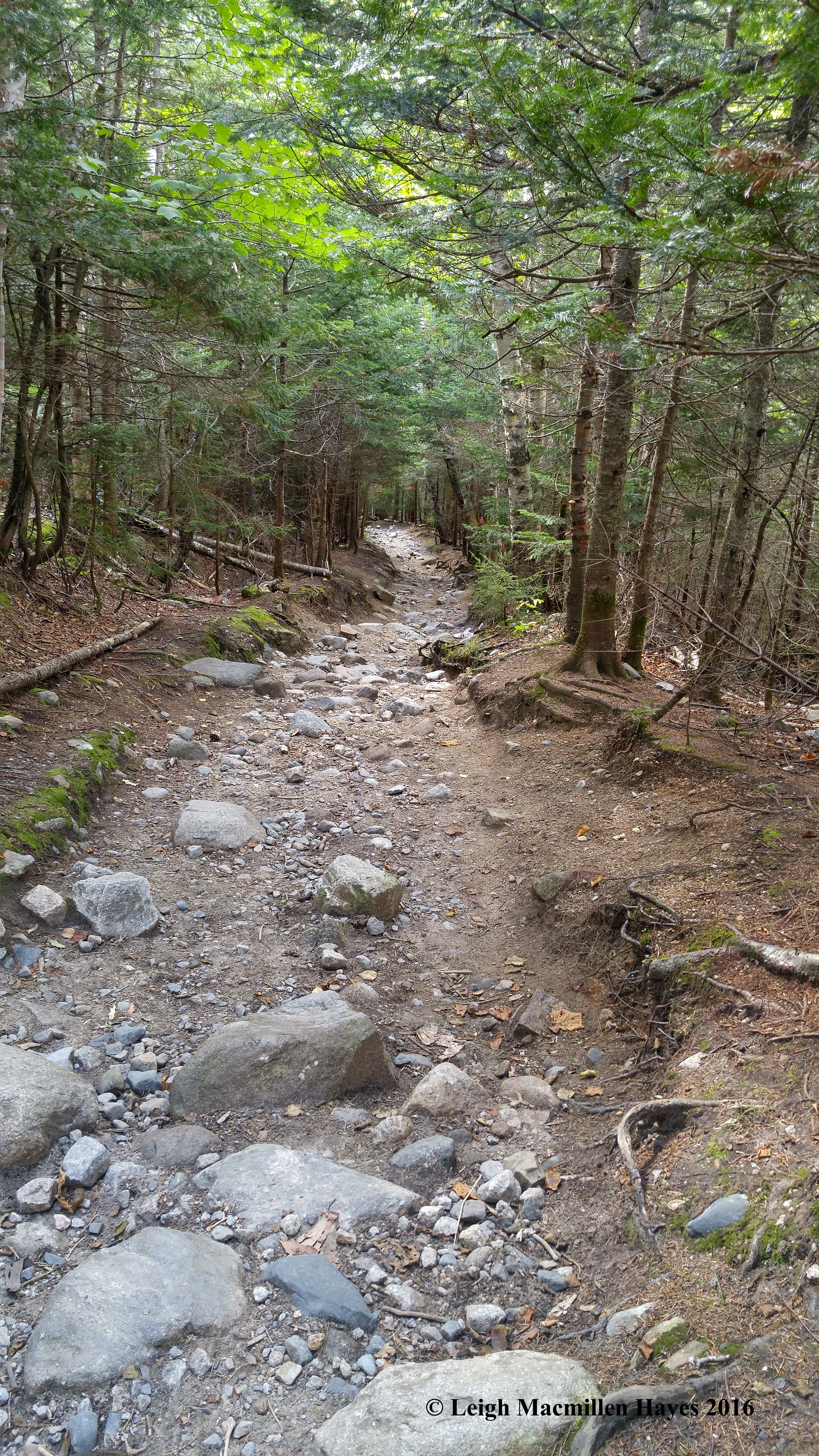
The trail has also changed. Somewhere stuck in my memory (despite the fact that I hiked here ten months ago) is a fairly flat, graveled carriage path. Um . . . I truly think that was the case years ago, but perhaps funding means it’s no longer maintained like it once was and stormwater has washed the trail out.
The carriage road was built in 1845 by Thomas Crawford, owner and host of the Notch House in Crawford Notch. Daniel Webster and Henry David Thoreau reportedly slept there. Crawford wanted to provide his guests with an easy excursion to the summit of the mountain. Old culverts and stone diversions still mark the way.
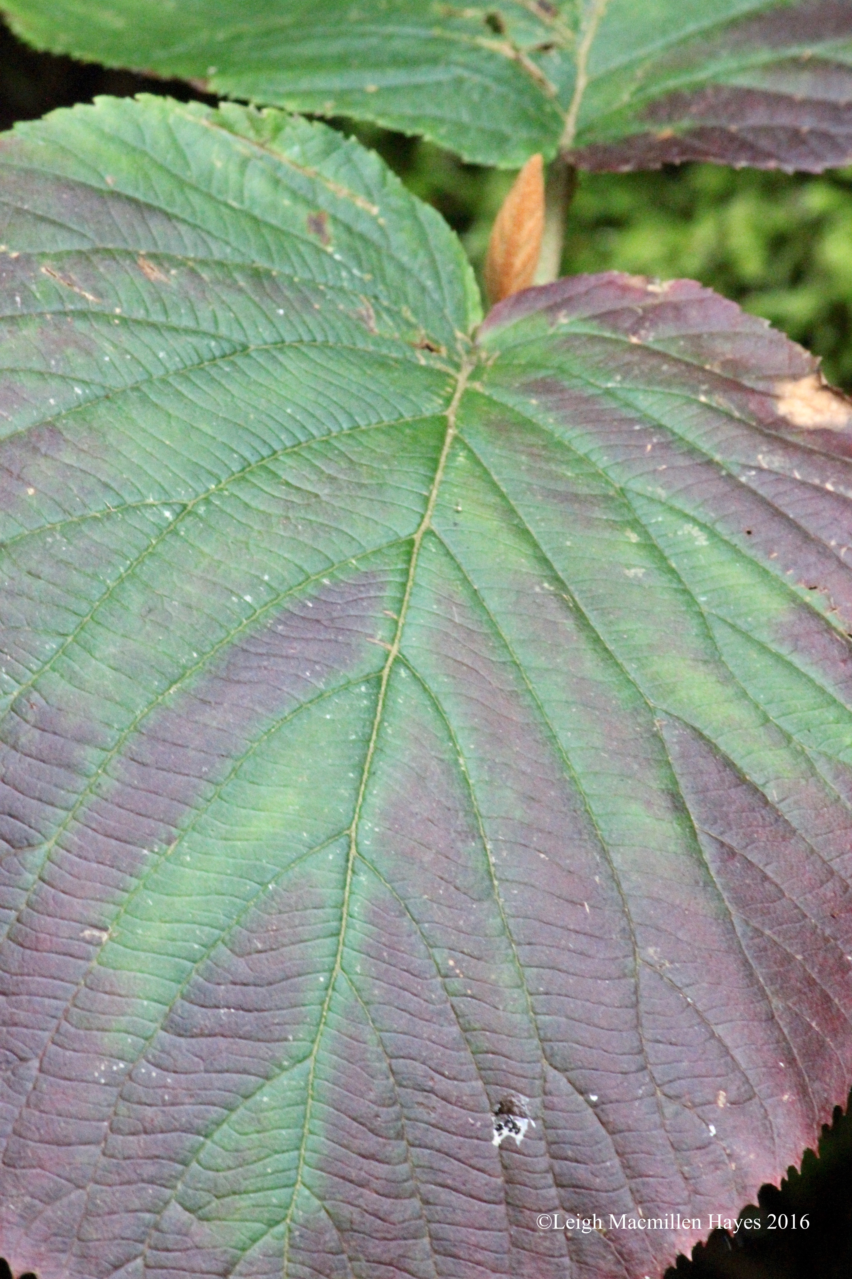
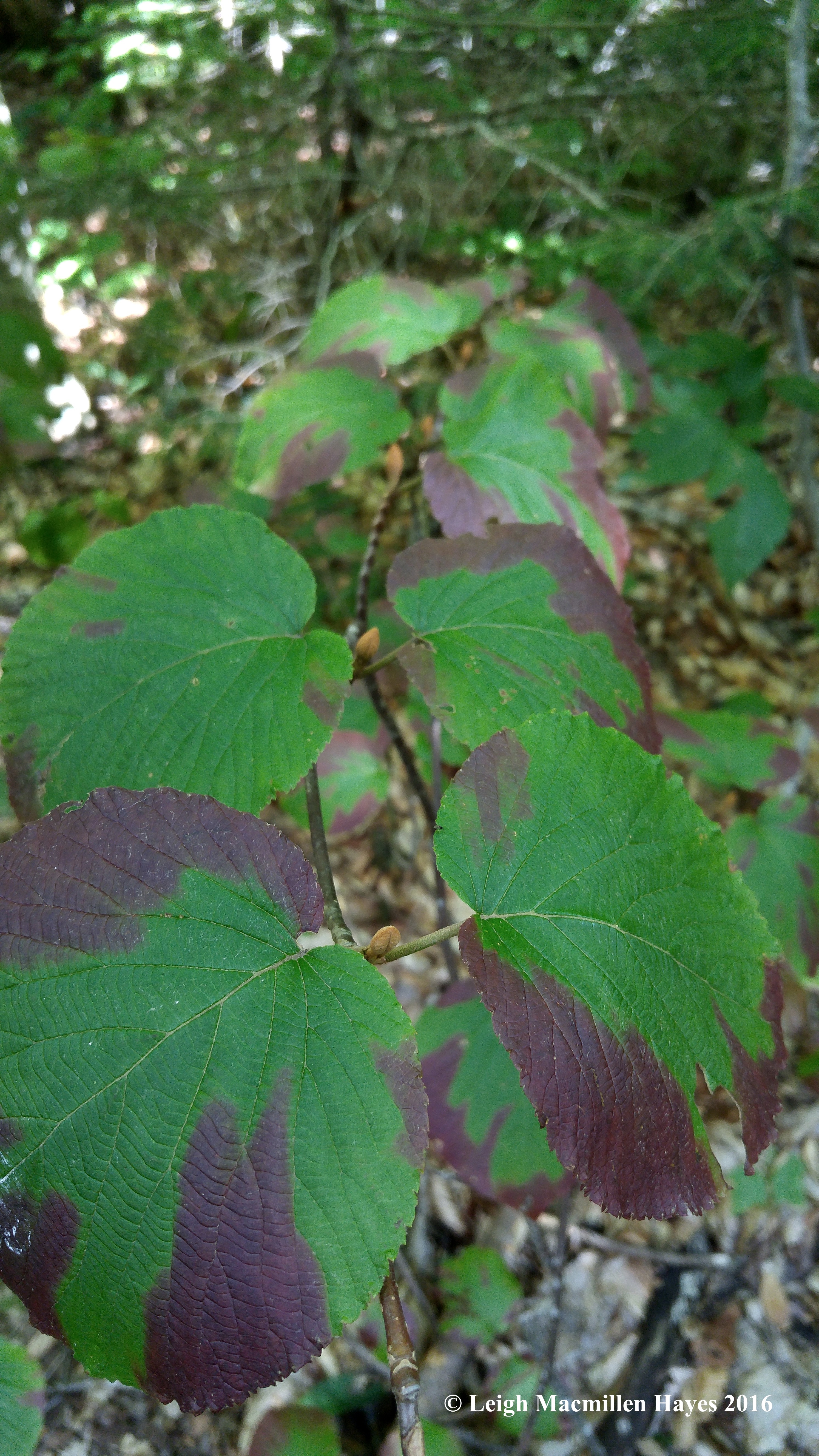
One of the most predominant plants from beginning to end is the hobblebush shrub, so named because its horizontal growth pattern trips hikers, causing them to hobble through the woods. This shrub wows us in any season and right now it’s displaying its late summer colors.
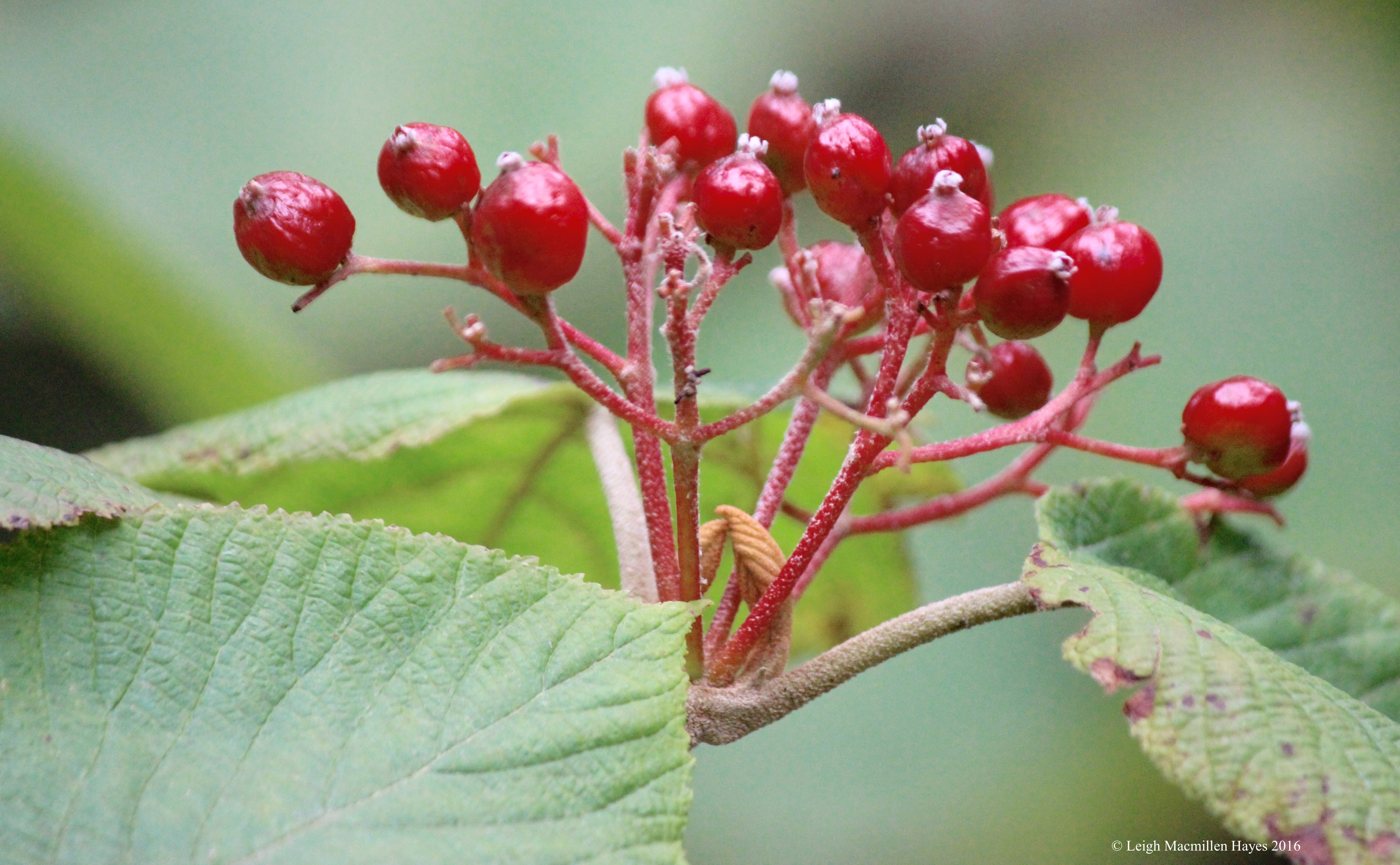
On a few, we even found some fruit. I especially loved the new buds posed together like praying hands beneath the berries.
And leaf displays that led to vanishing points.
We chuckled to ourselves as others passed by, sweating in their efforts to reach the summit quickly. Our purpose–a slow and steady climb filled with opportunities to notice, like the funnels of water that dripped from rock to rock.
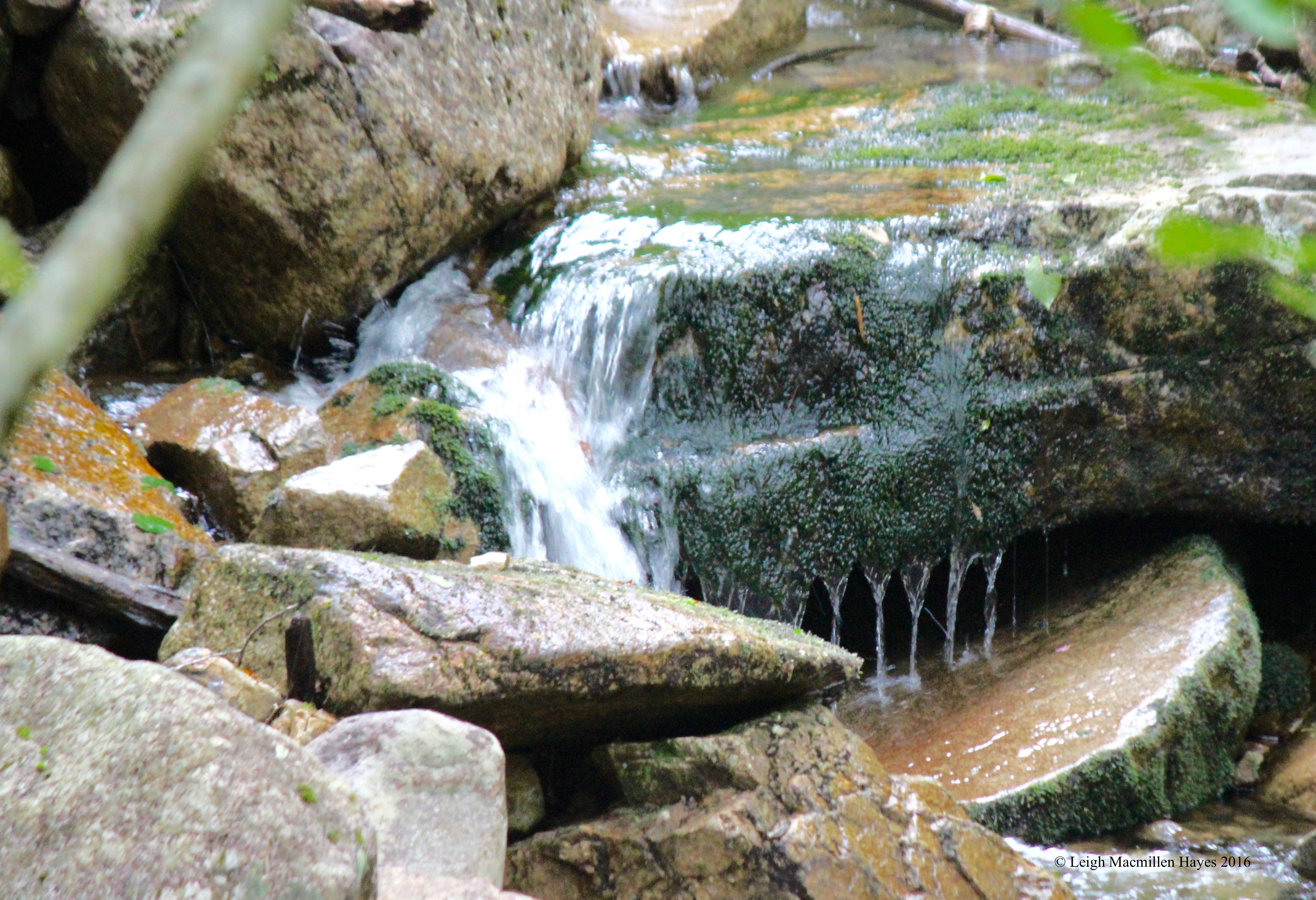
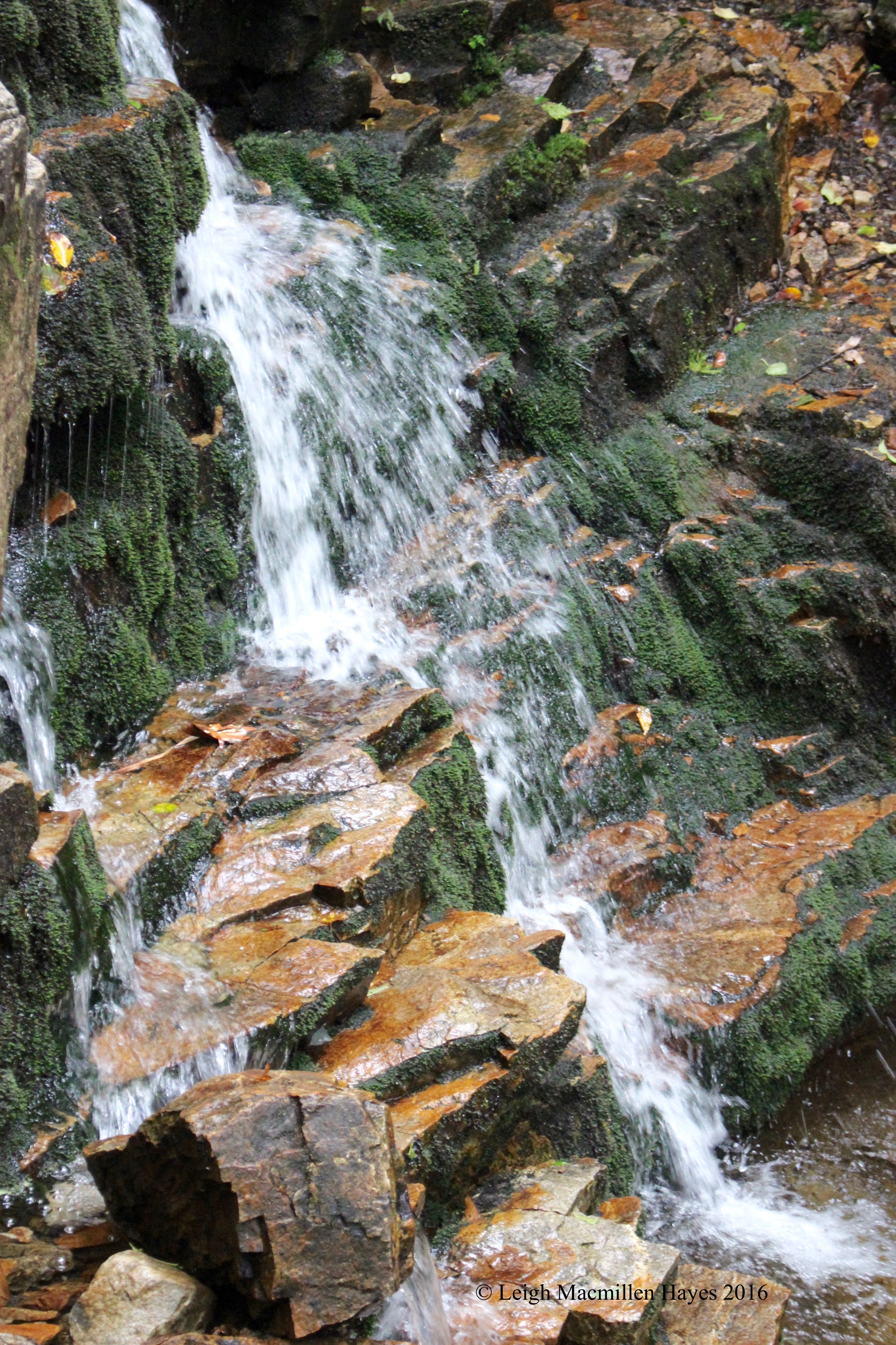
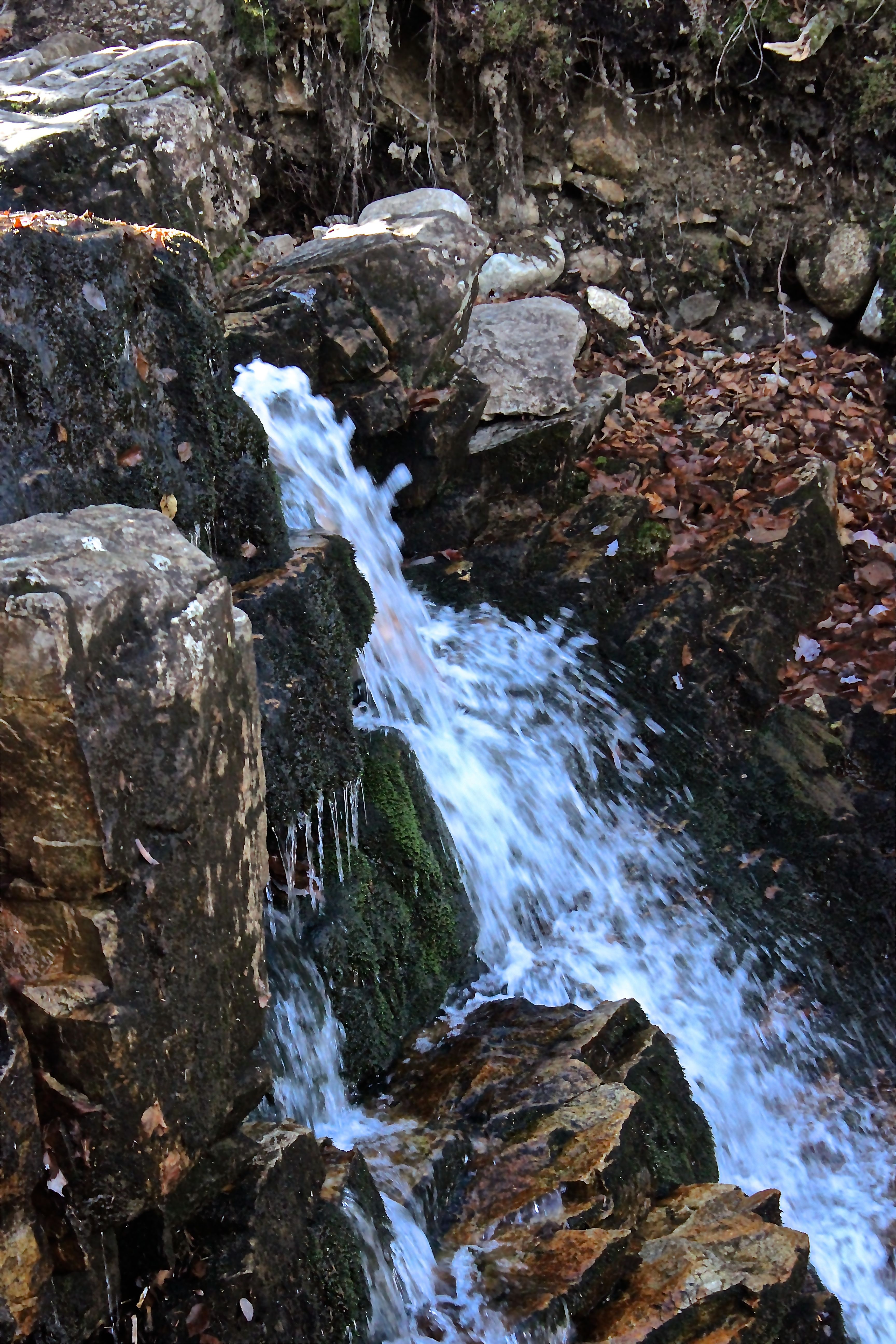
One of our favorite stops–Centennial Pool, where water mesmerized us as it cascaded over moss-covered rocks.
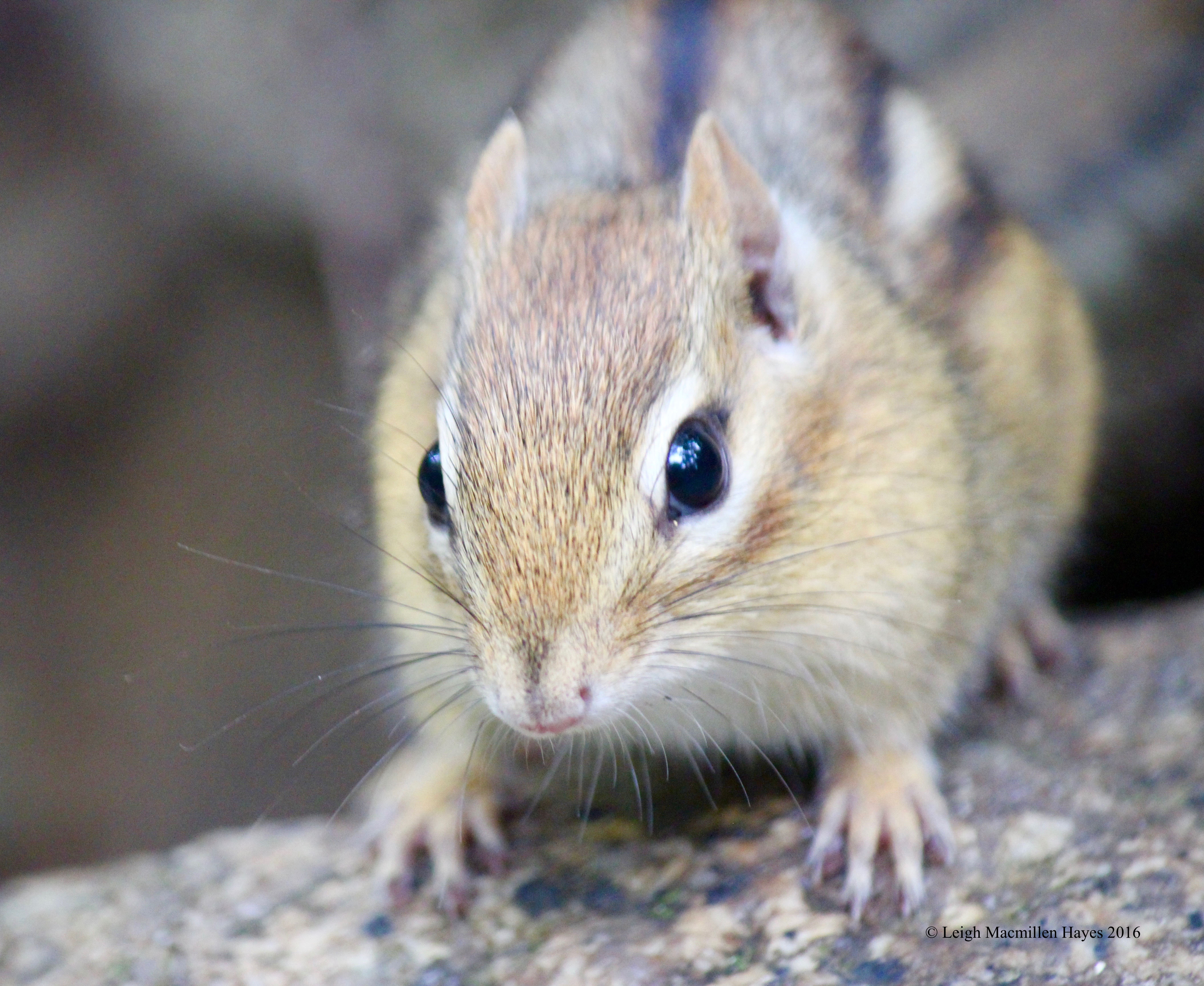
And a chipmunk darted about, surprising us with its close proximity–until we looked up and saw a couple with a dog. Perhaps we looked like we’d offer a safe haven.
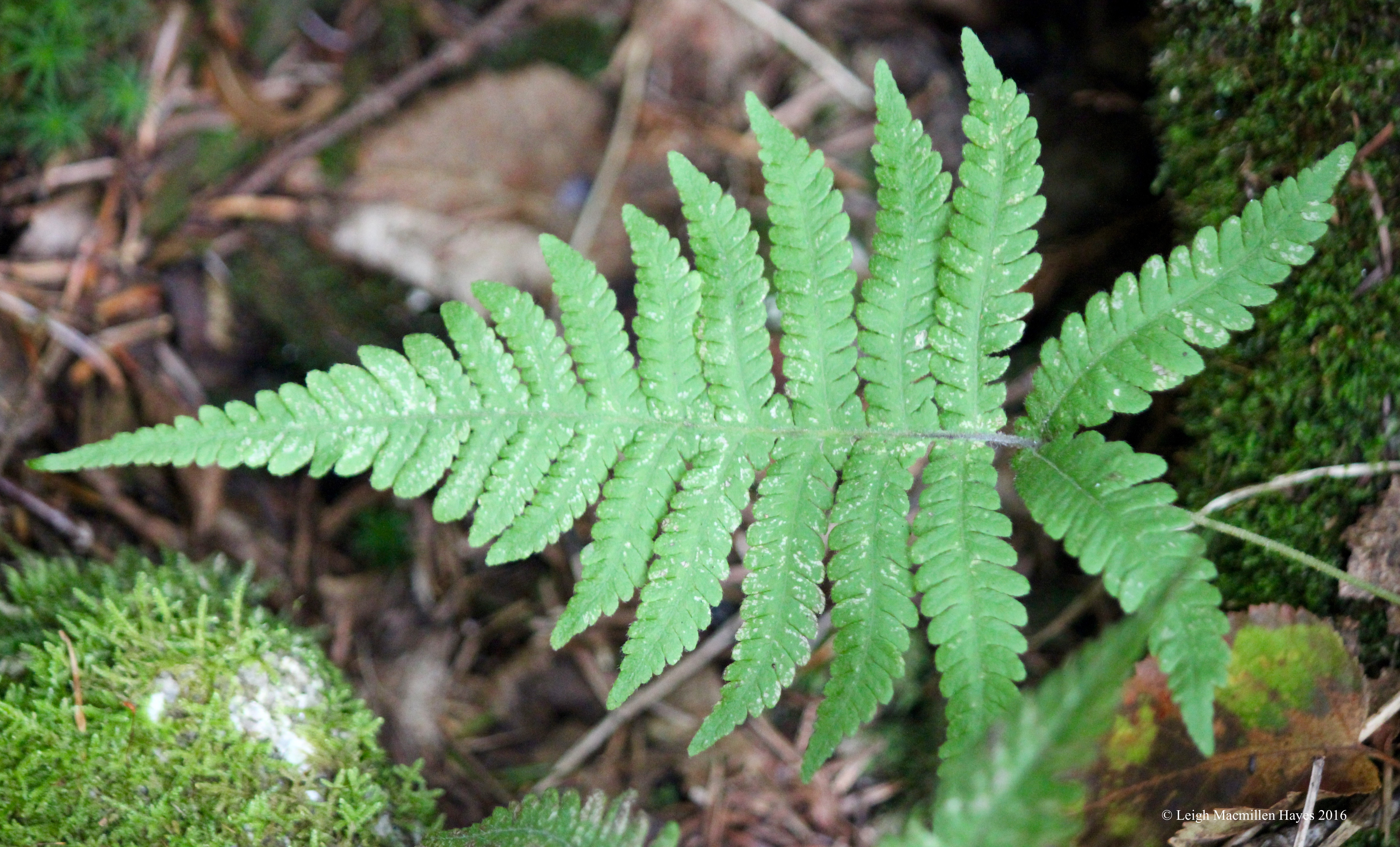
We spent a lot of time wallowing in ferns because Ann has developed a keen interest in them this year. One of our fun finds was the narrow or northern beech fern, which portrayed its natural habit of dripping downward. We loved that we could ID this one by beginning with its winged attachment to the rachis or center stem.
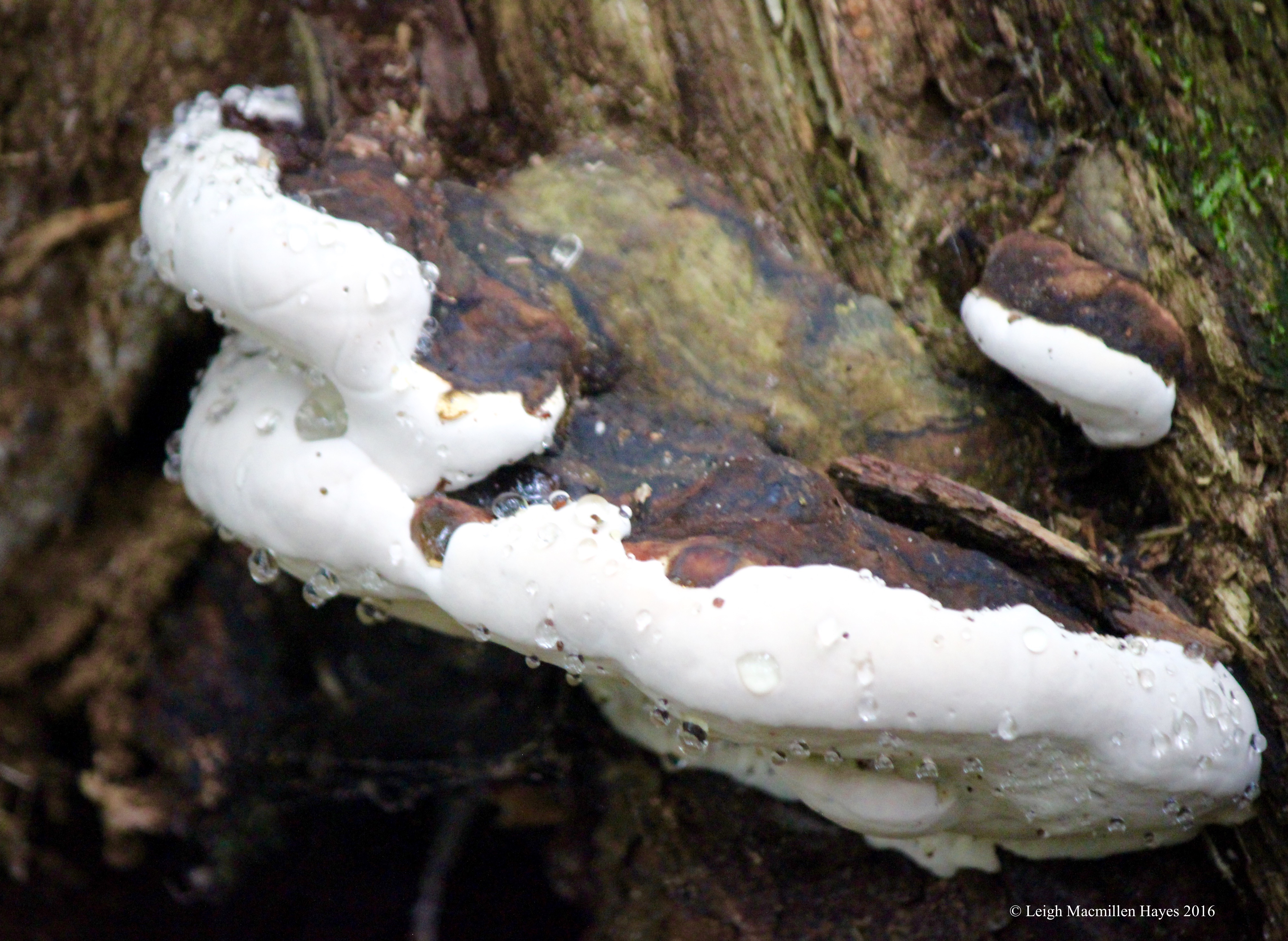
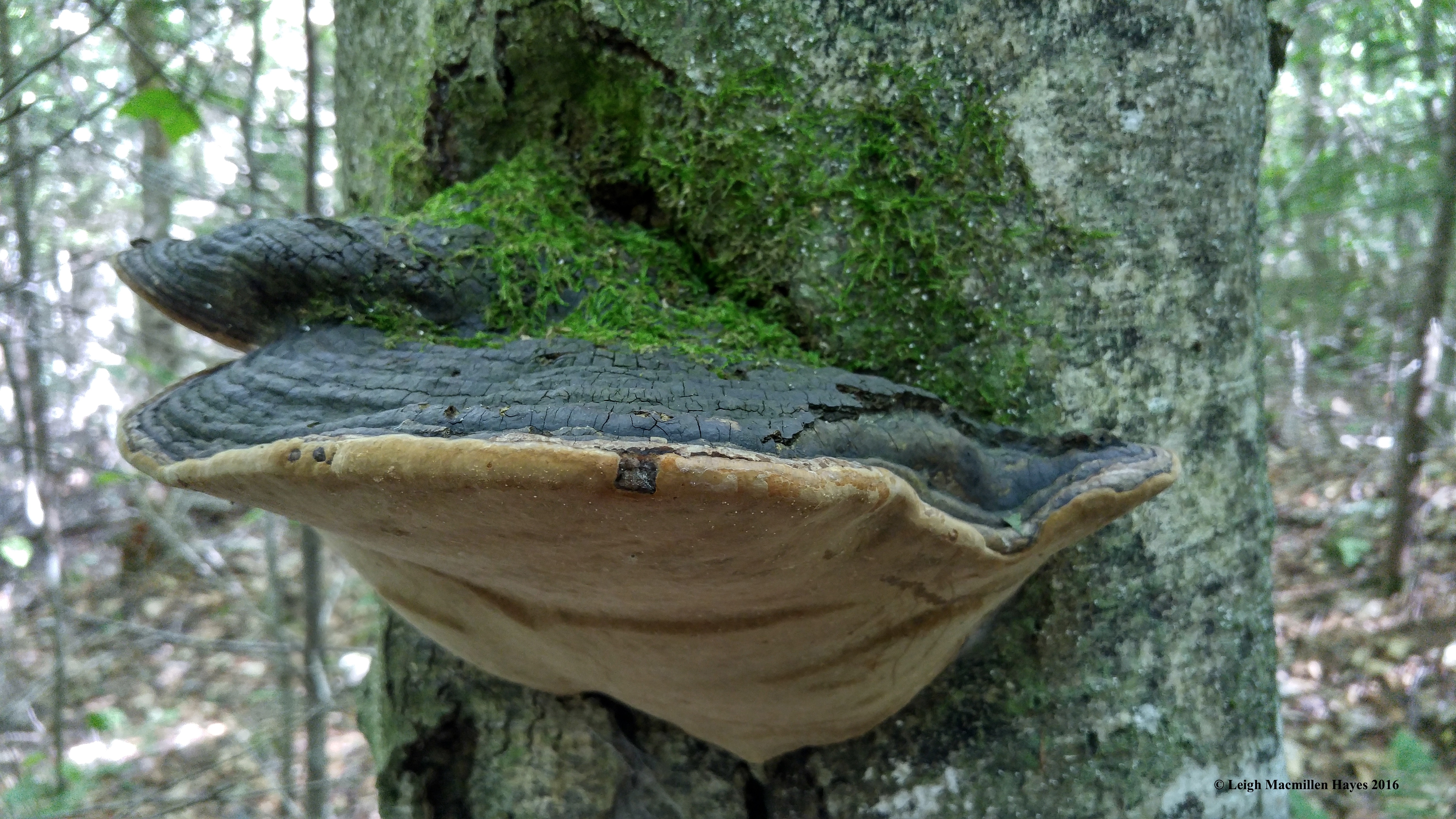
Fungi also drew our attention. The mountain had been in the clouds as we approached, so it was no wonder that dew drops decorated this artist’s conk.
Among our fungi sightings–a false tinder conk.
And among my favorites–a fairy ring.
Though the flowers were few, we did spy some purple asters.
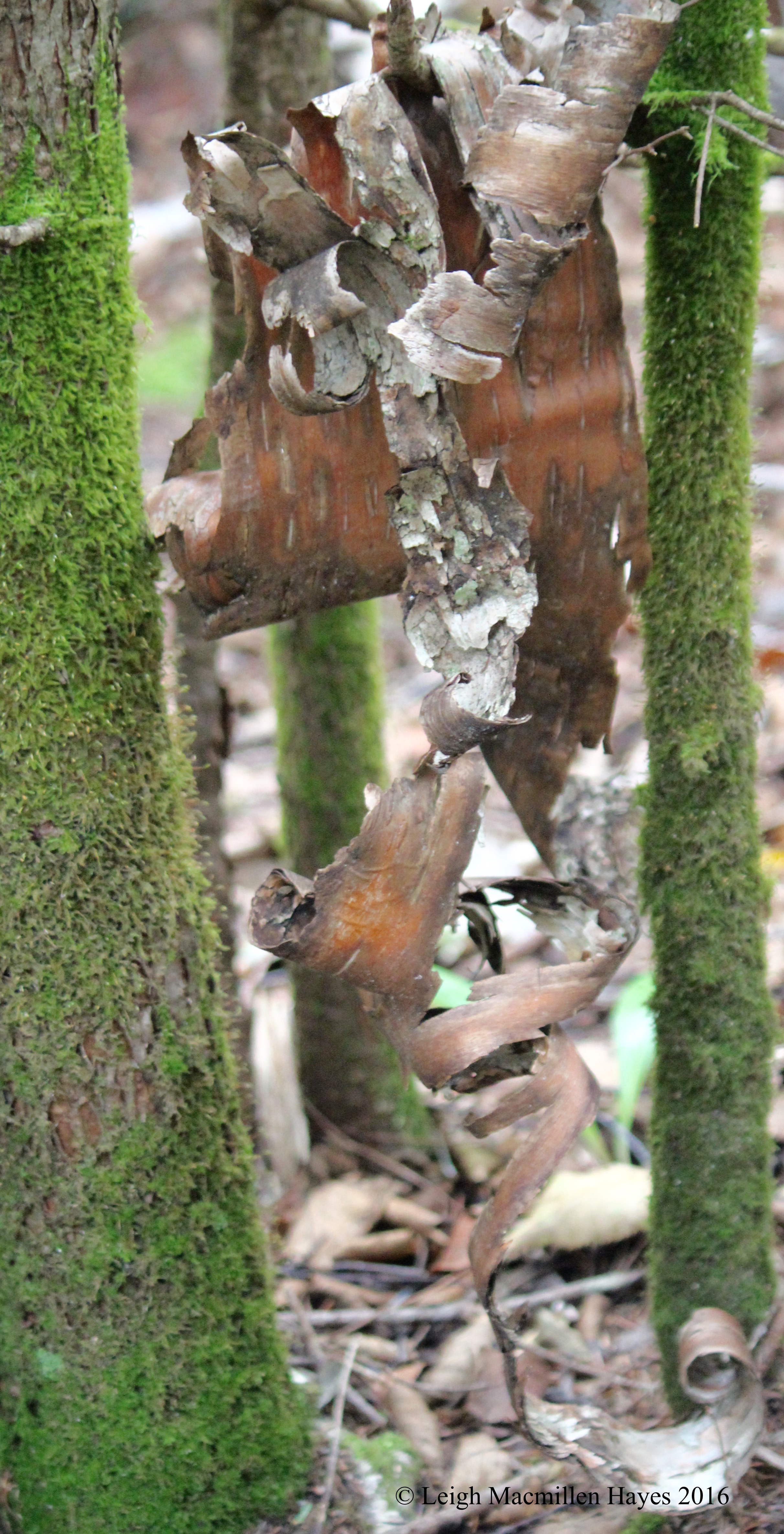
And then there were sculptures that caught our attention, like this paper birch artwork framed by moss-covered trees.
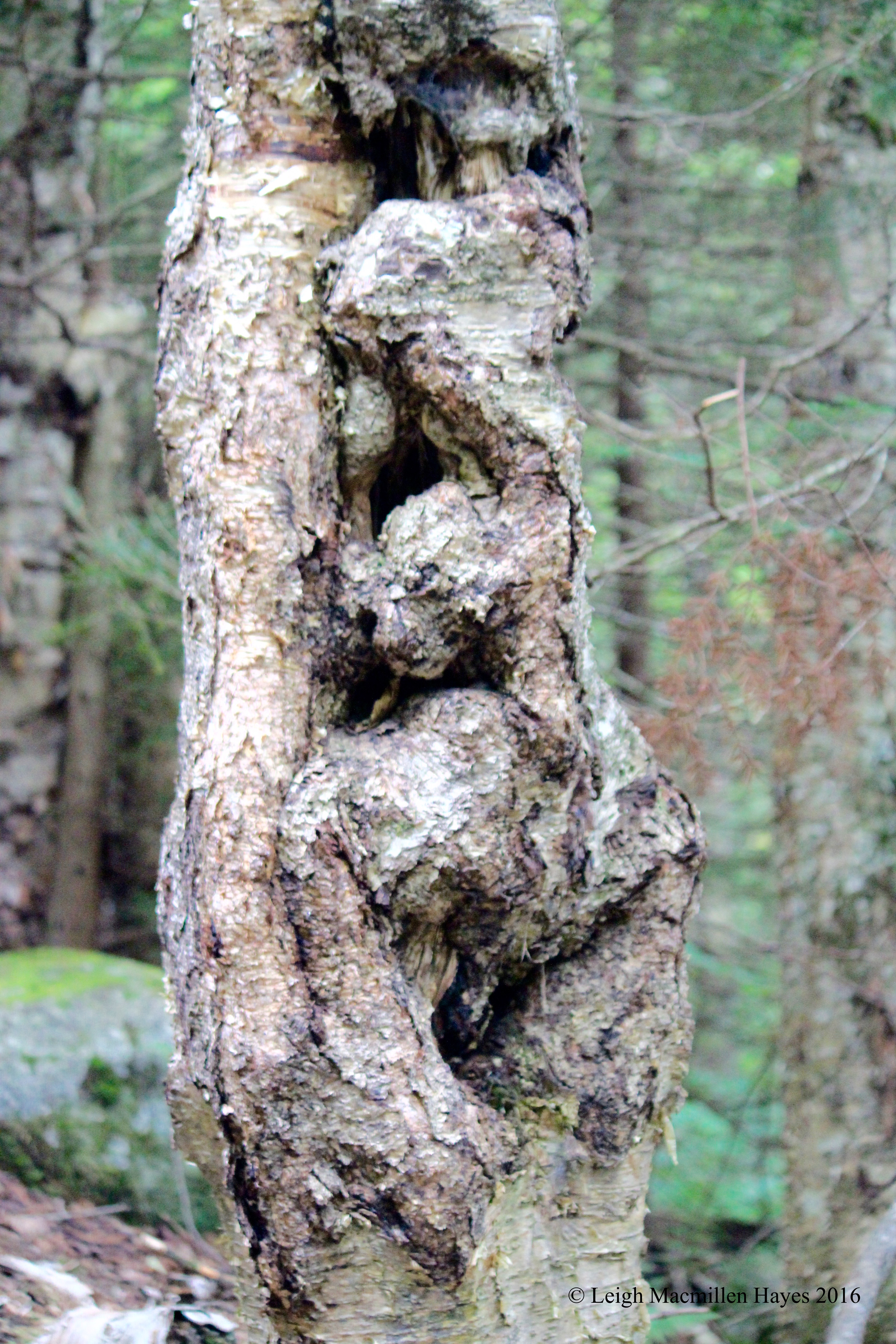
And a yellow birch offering its own message to the universe.
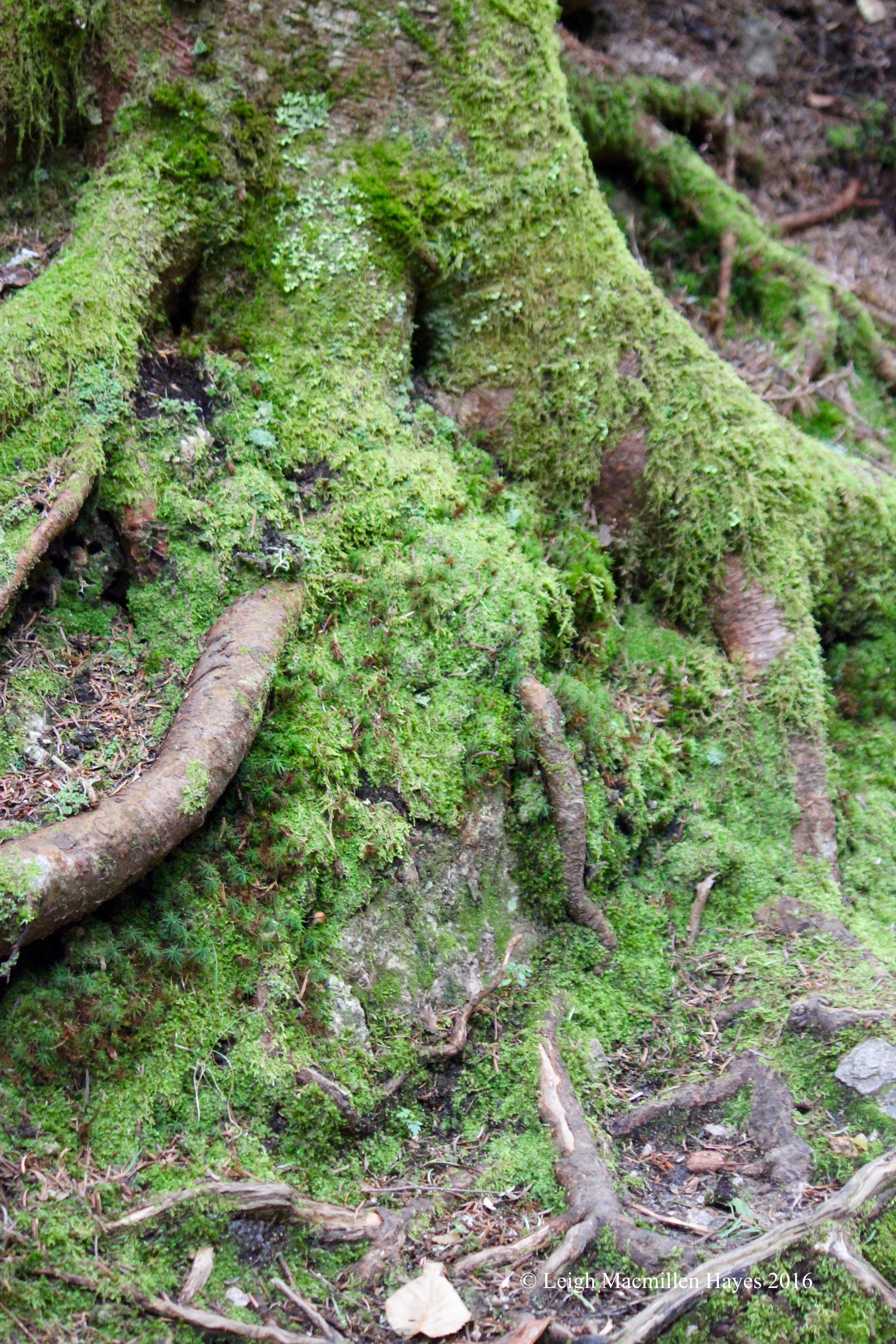
Some tree roots also begged to be noticed. So we did as we acknowledged the resident faeries.
At last we found my carriage road. Or at least something that slightly resembled it.
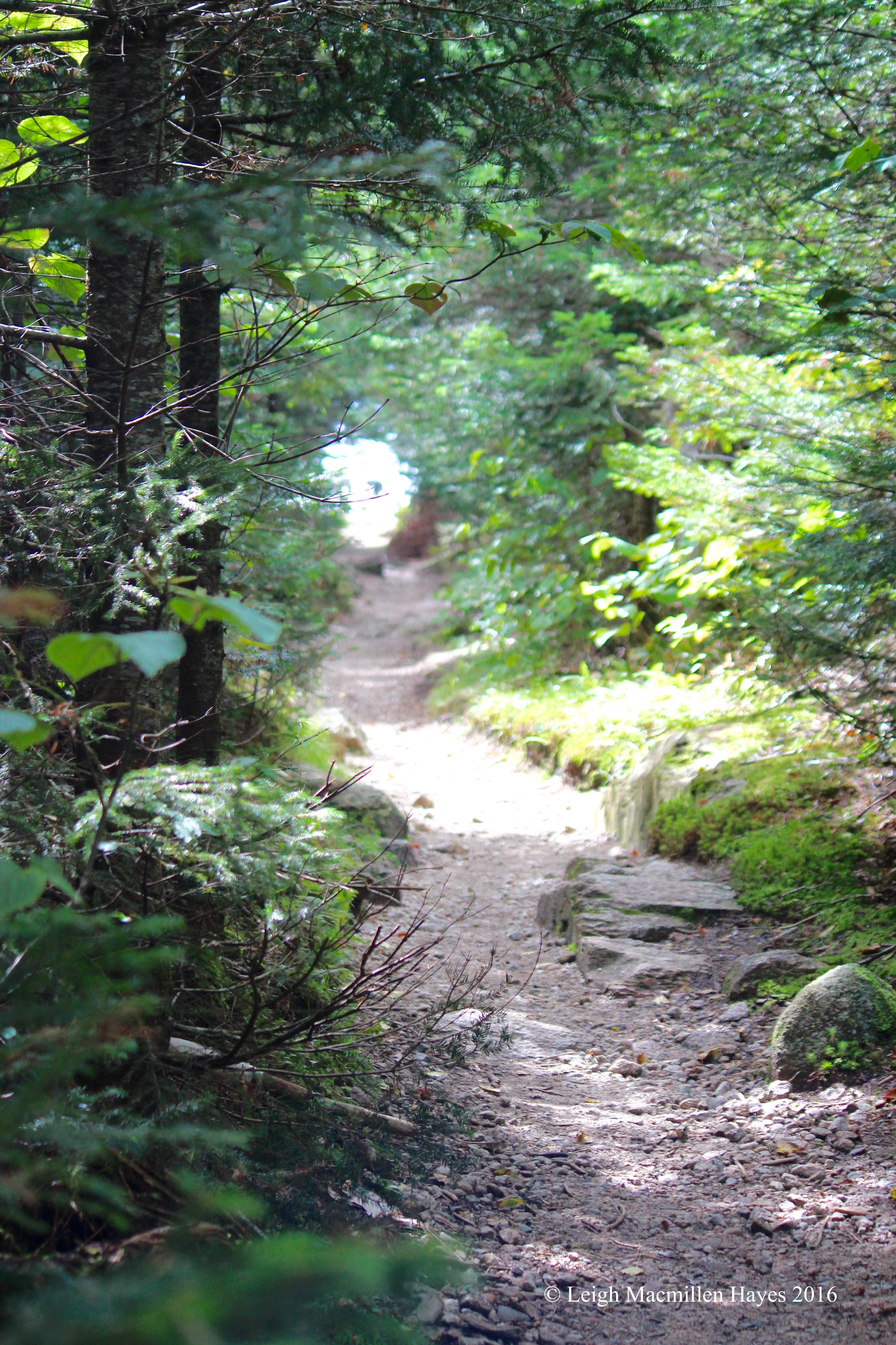
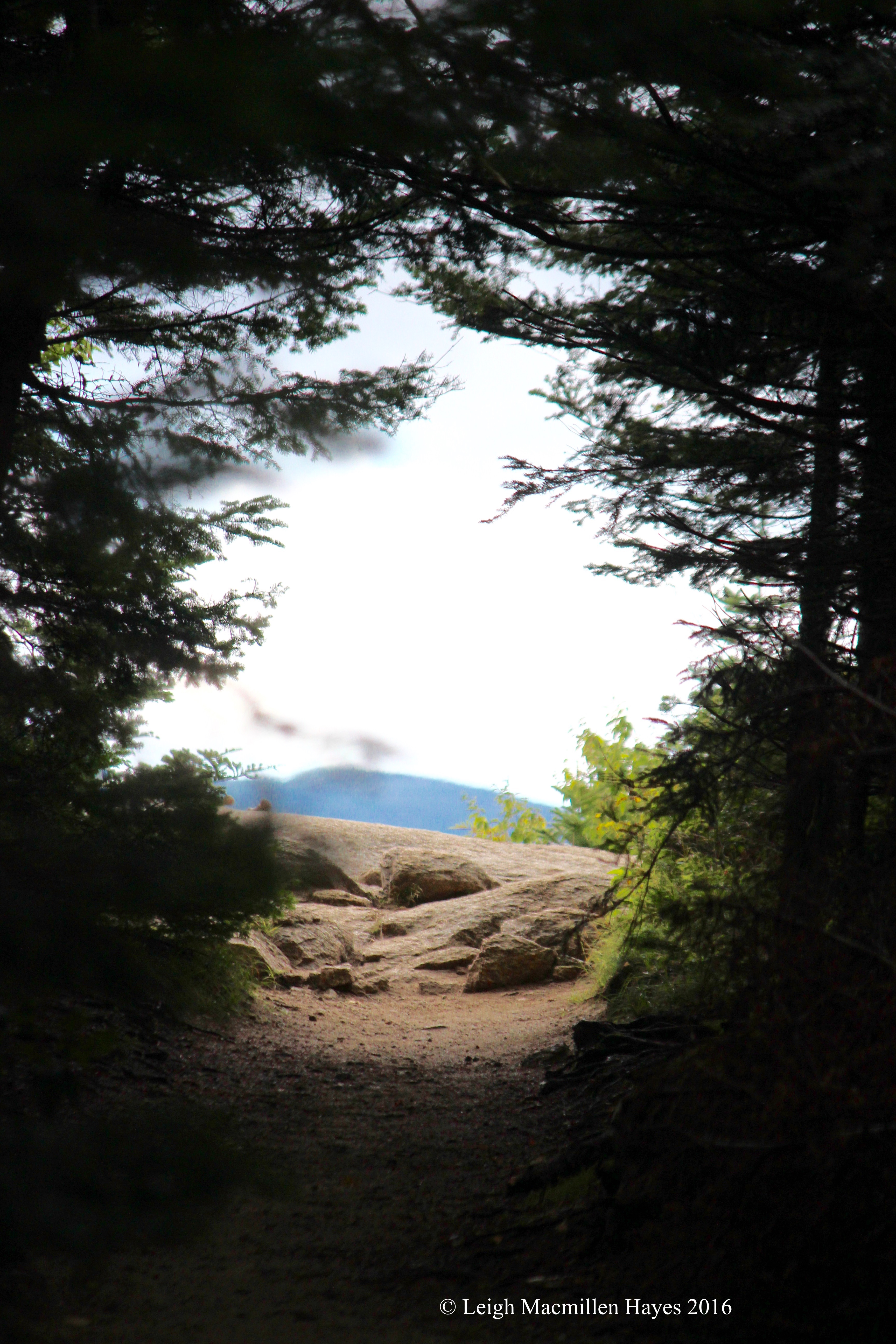
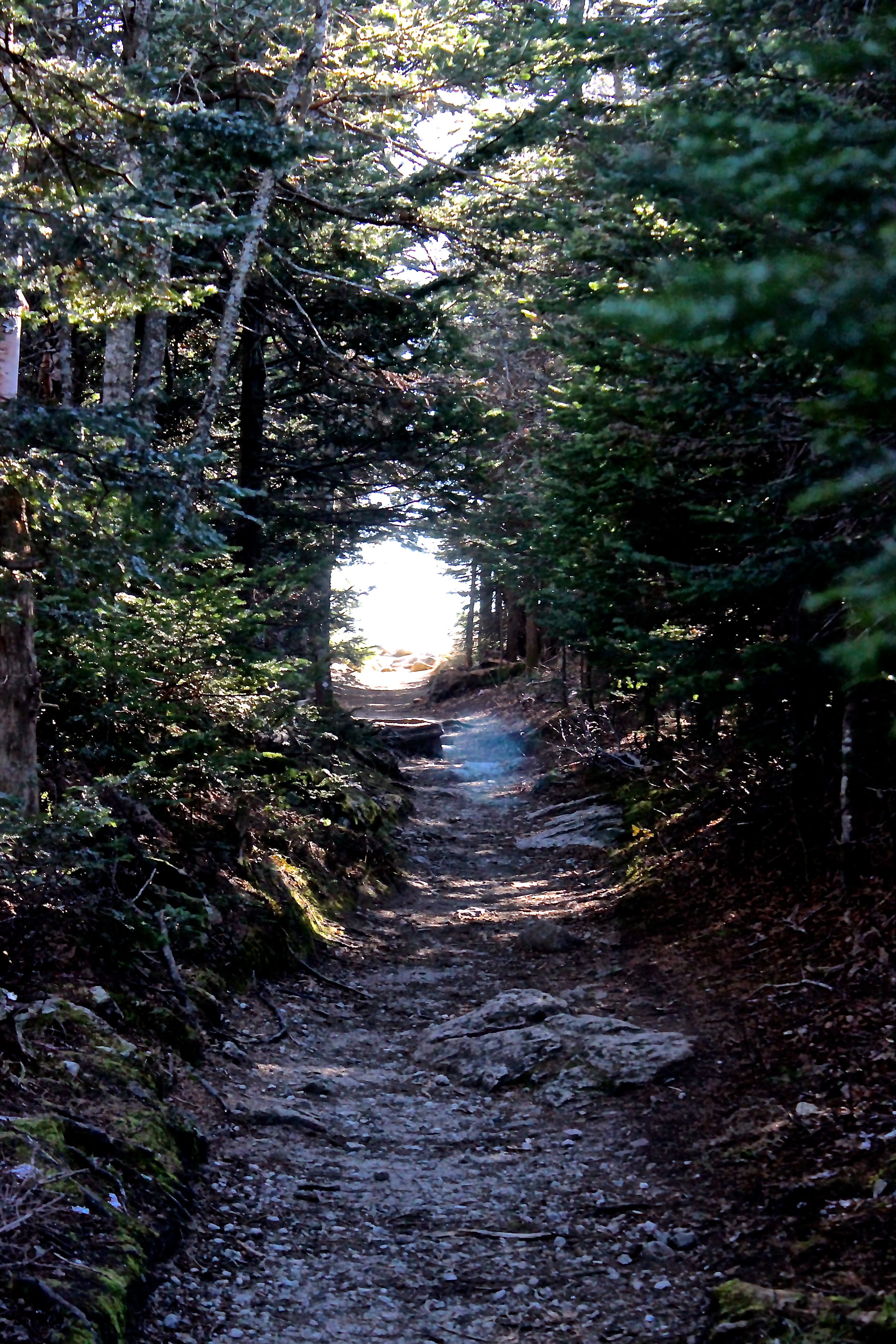
And then the tunnel.
And a glimpse of the world beyond.
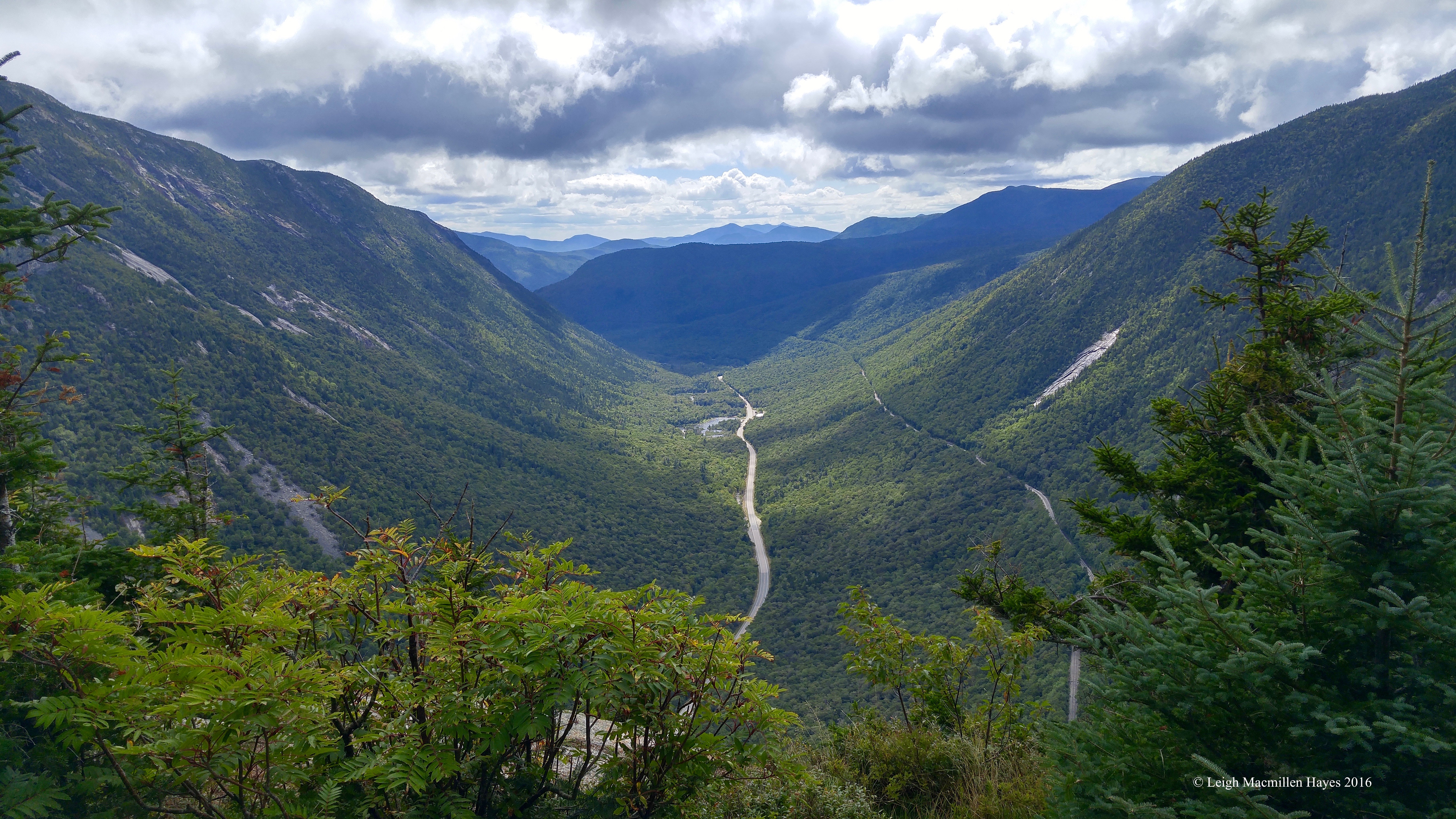
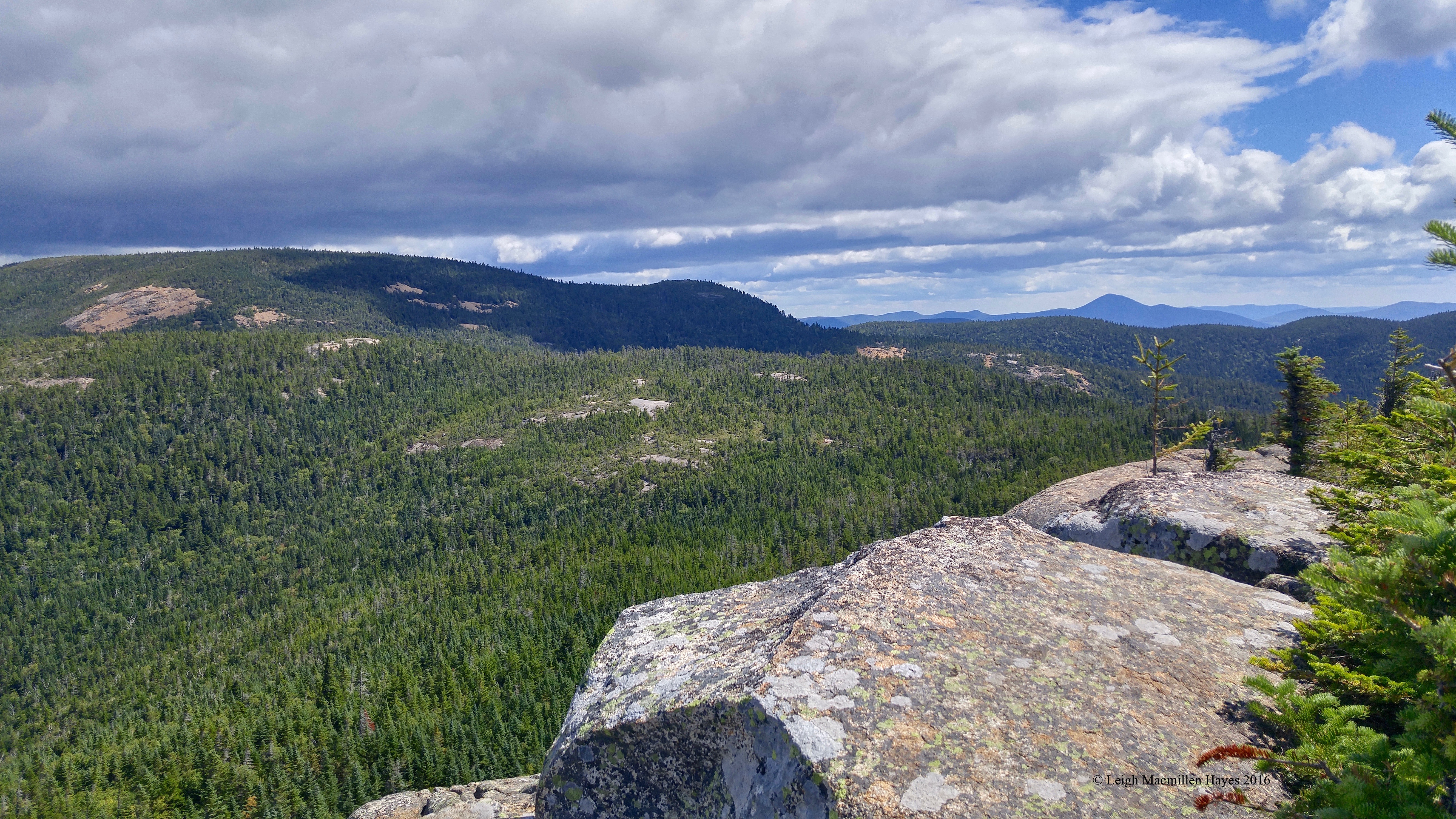
Within seconds, without a drum roll, the jaw-dropping view of the Notch enveloped our focus.
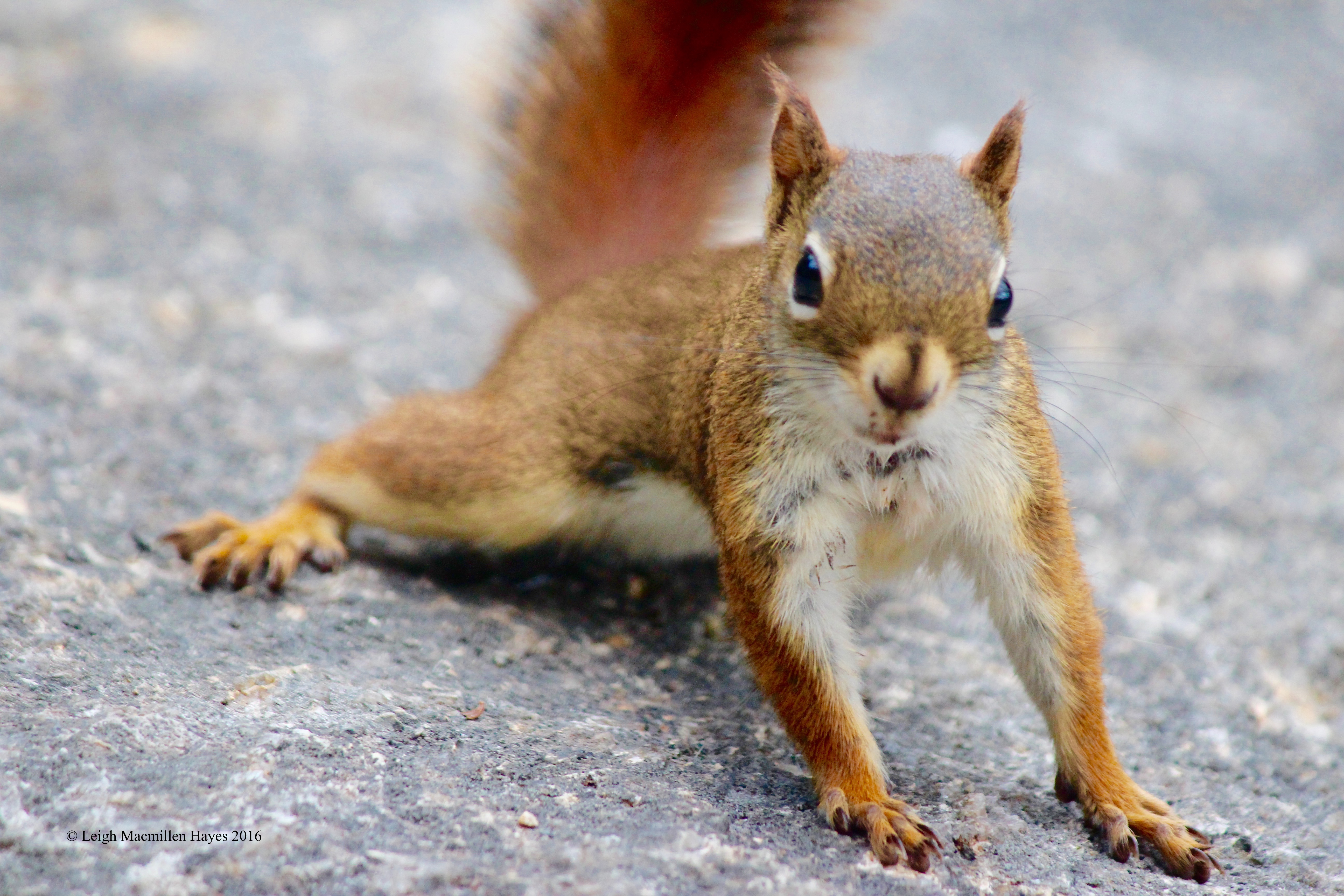
As we ate lunch, another human-savvy critter came closer than is the norm–a red squirrel. We think he coveted Ann’s lunch–a peanut butter and blueberry sandwich with whole blueberries. Who wouldn’t?
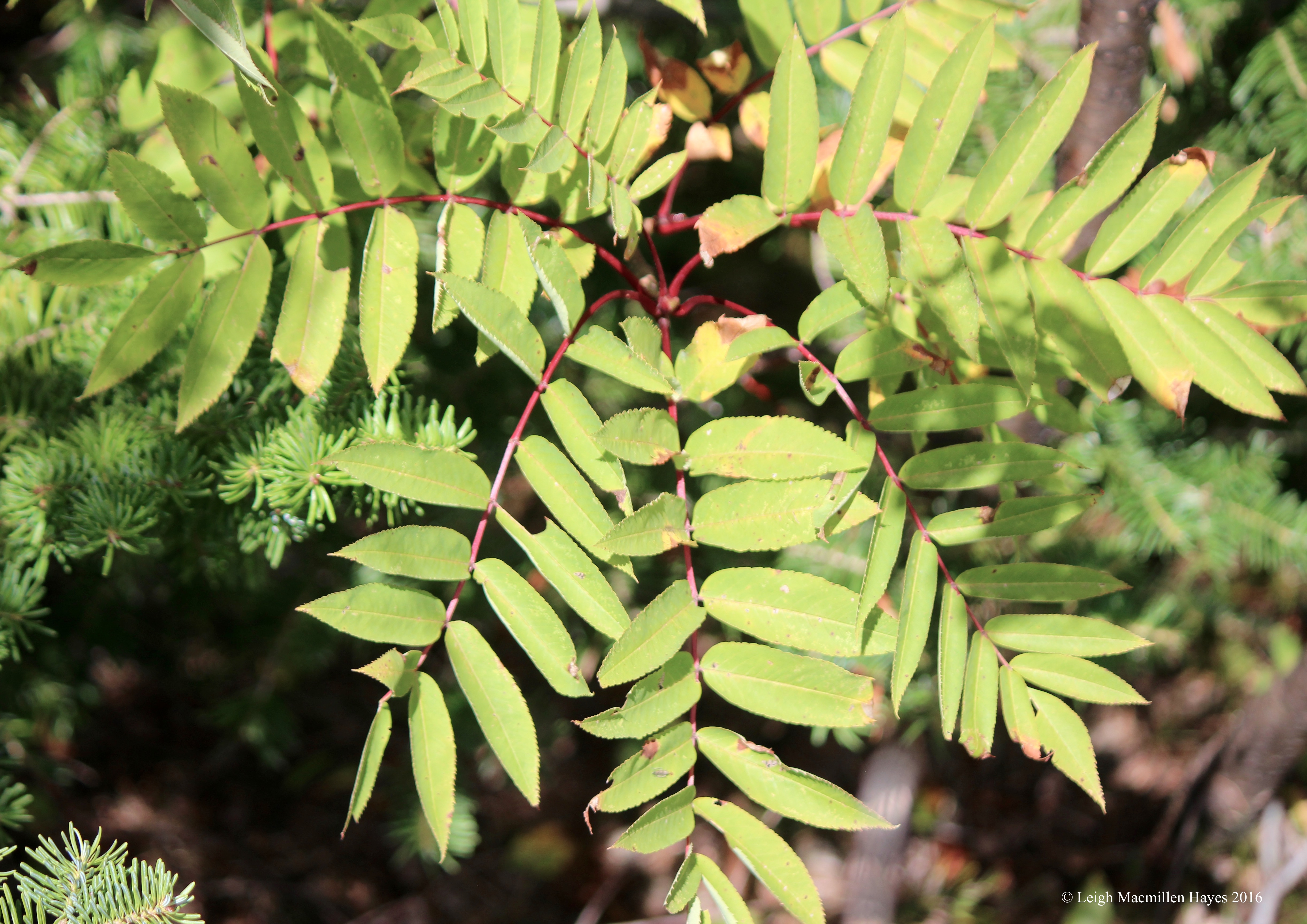
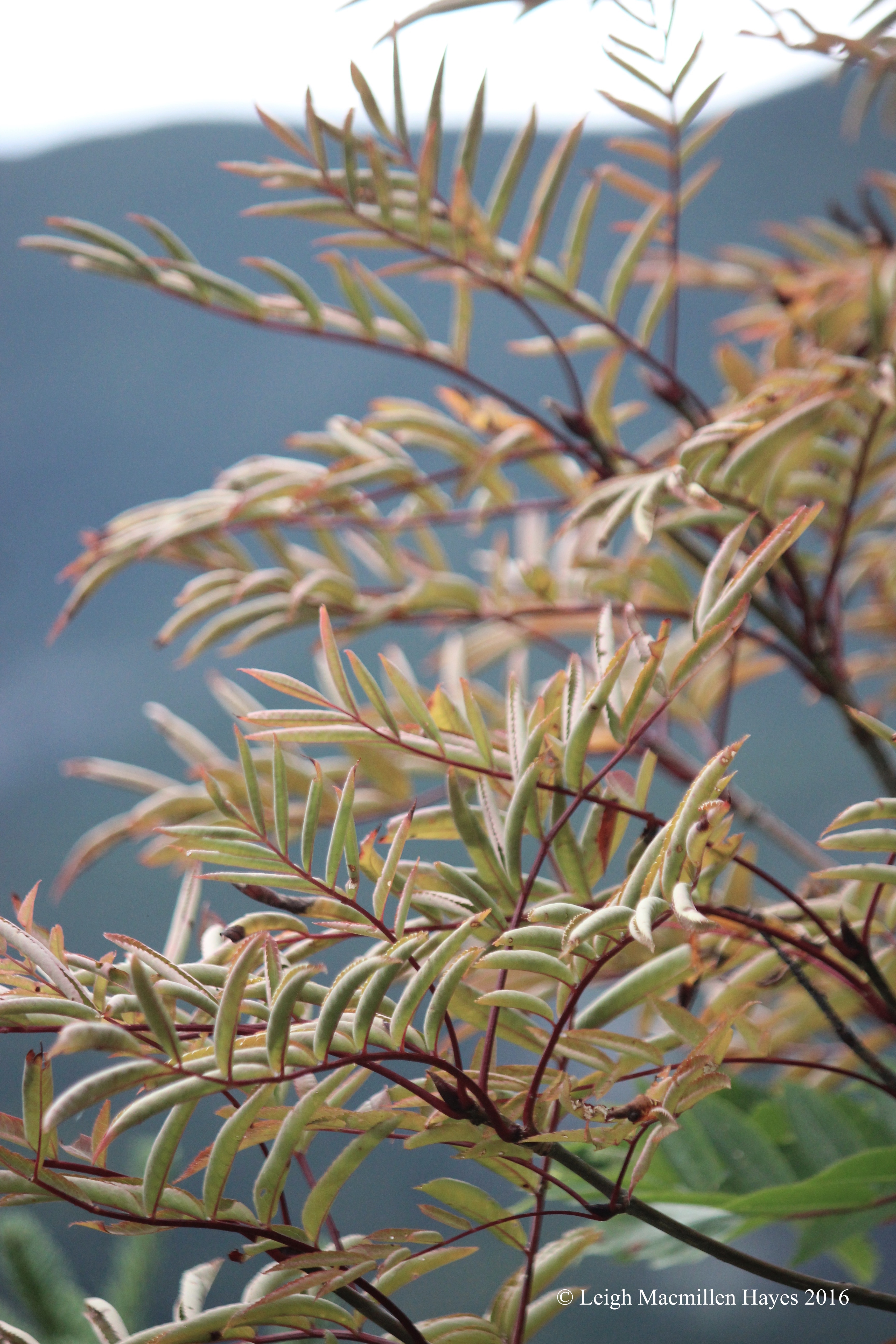
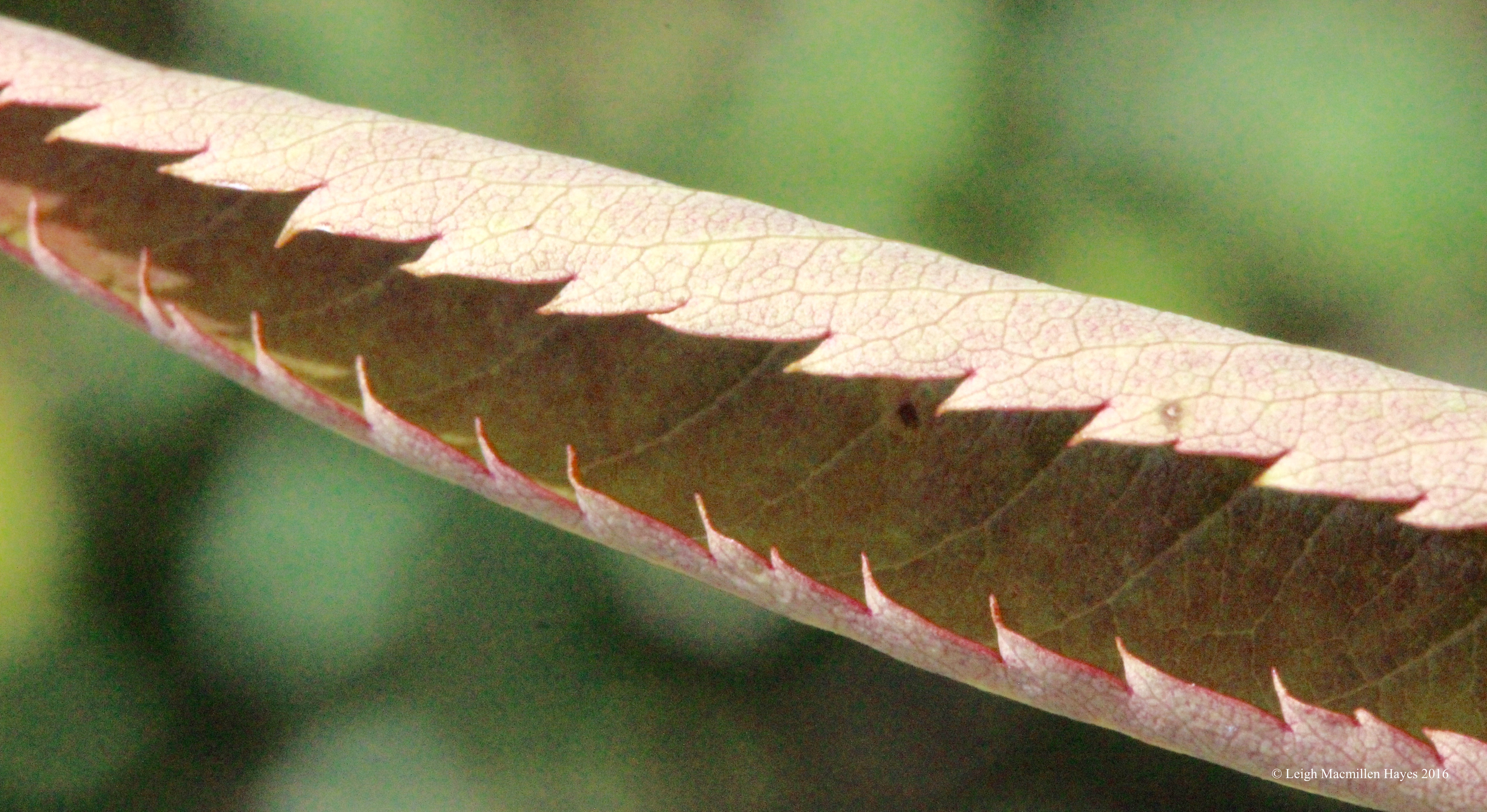
Mountain summits in these parts often feature Mountain Ash trees. Today, I paid attention to the pattern, including the six finger splay of its leaflet.
And I couldn’t resist the contrast of color it offered against the mountain backdrop.
Though we didn’t see any Mountain Ash berries, each individual leaf presented its own point of view.
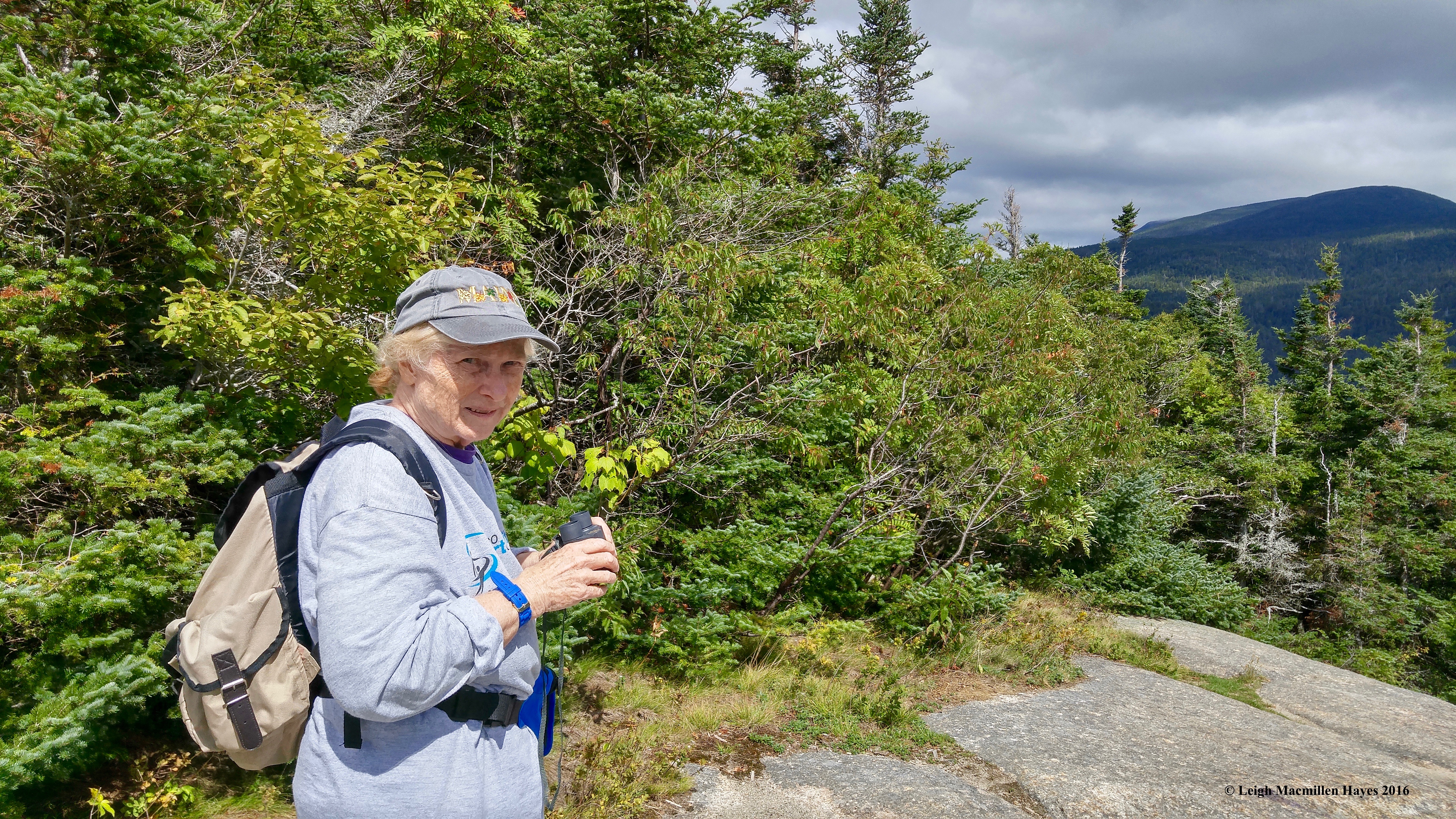
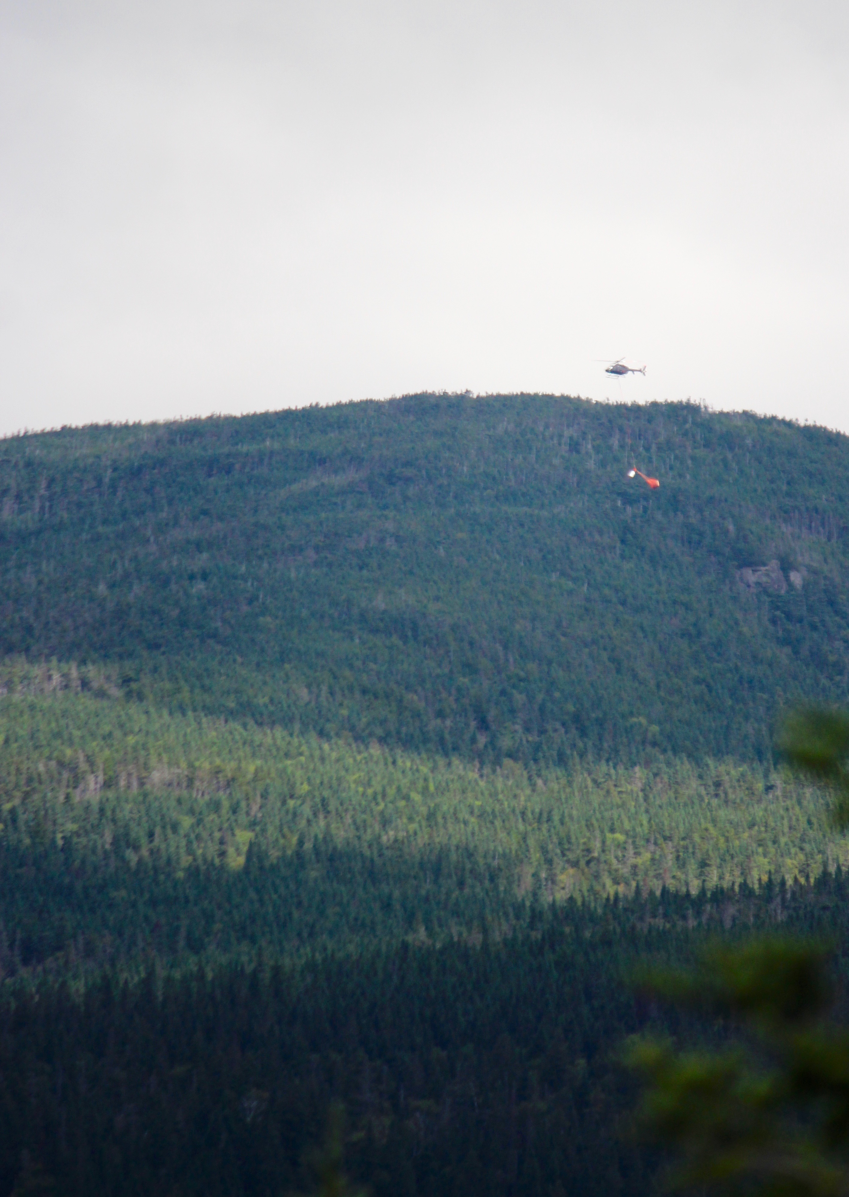
At the beginning of our hike and again at the summit, we kept hearing a helicopter. Mount Washington was obscured by cloud cover, but with her binoculars, Ann observed a helicopter with a litter. It seemed to follow the same route again and again.
Our hope was that it was practice over mission. We had no idea of the purpose.
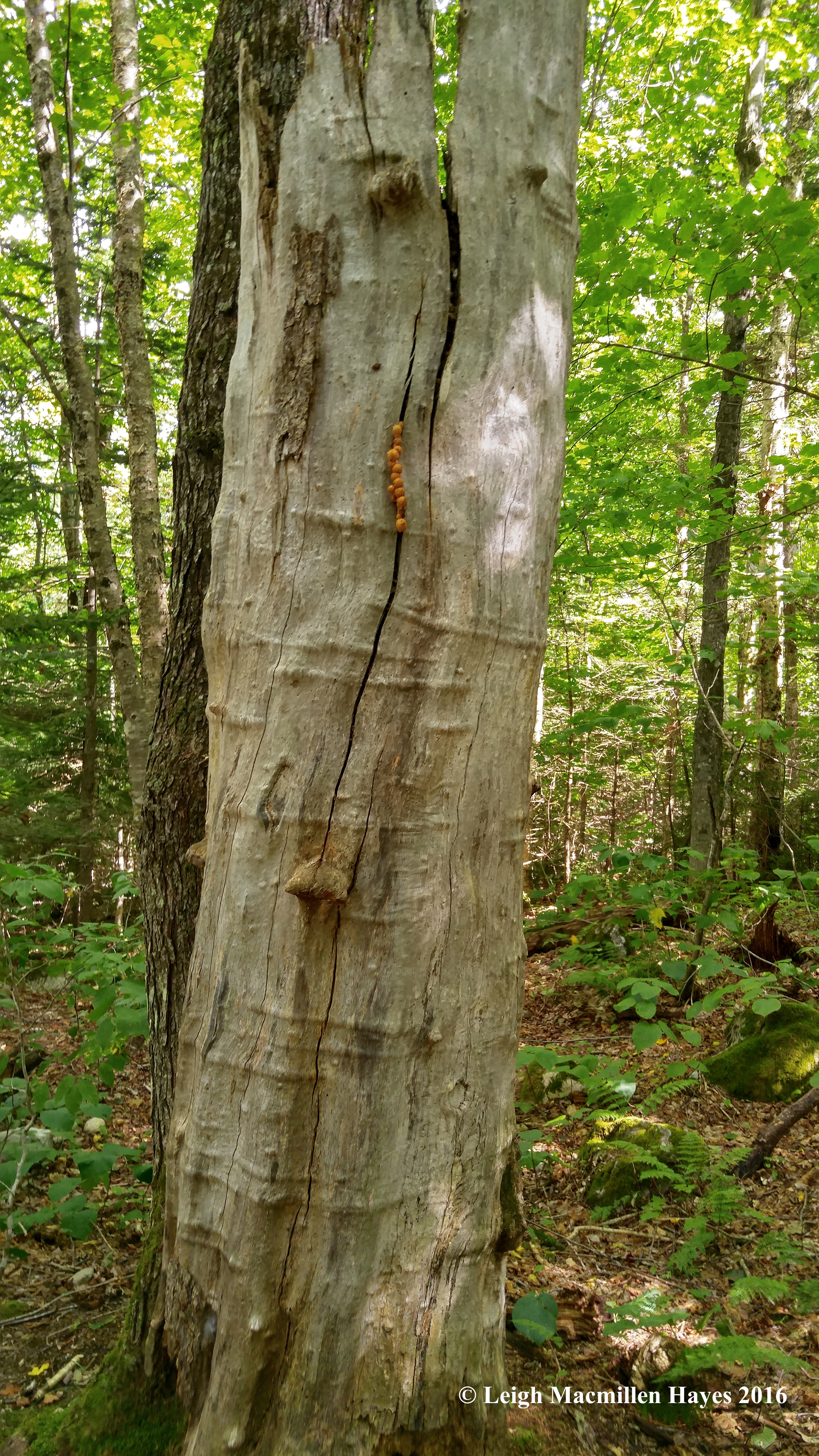
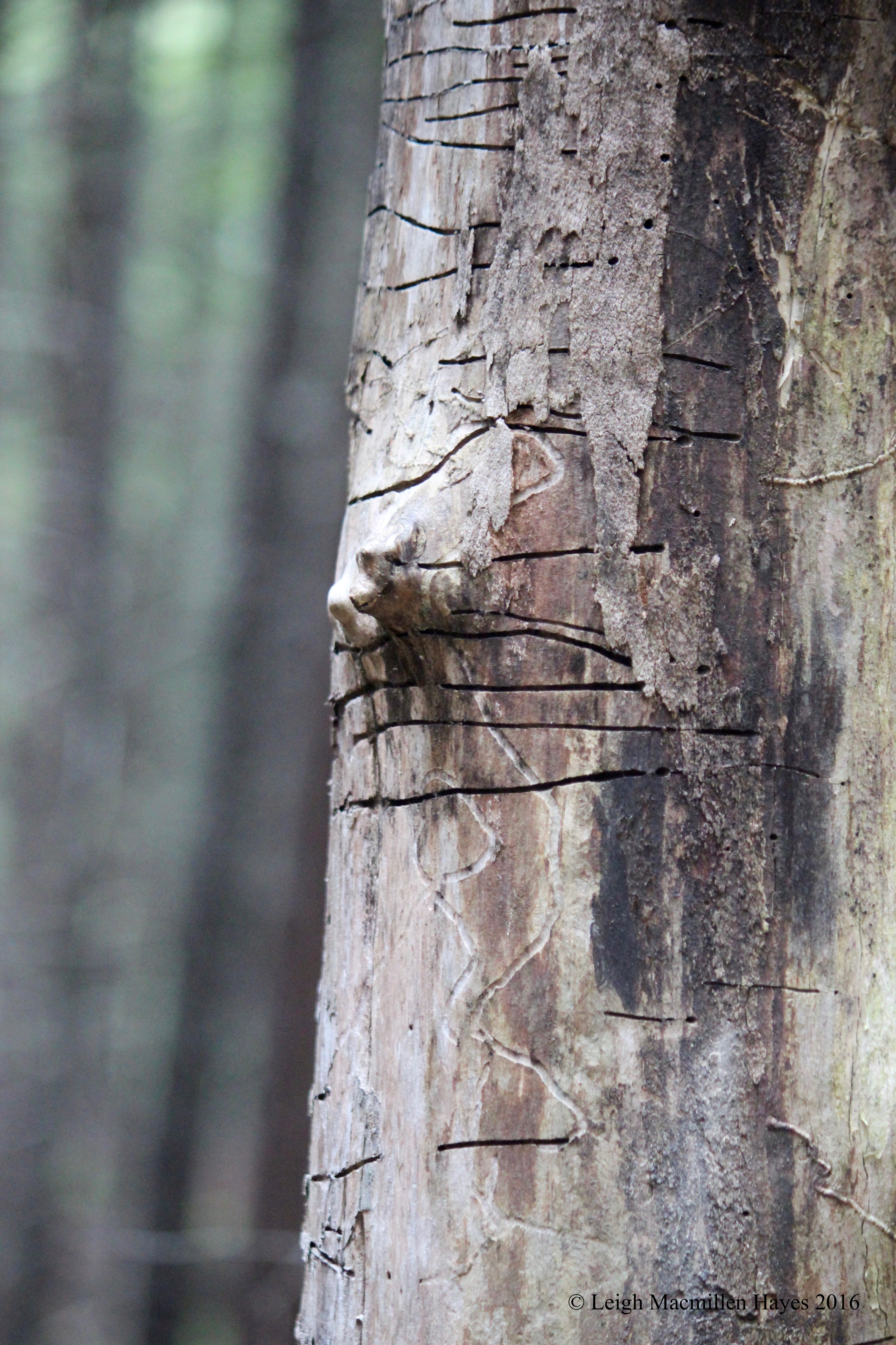
At last we hiked down. One of the best parts about following the same path is that new stories await–when you can take the time to look up. And our pièce de résistance–an old snag. A beautiful old snag. Notice its vertical lines intersected by horizontal lines. We spent a long time studying and caressing this natural sculpture.
Though it appeared to be dead, life reigned.
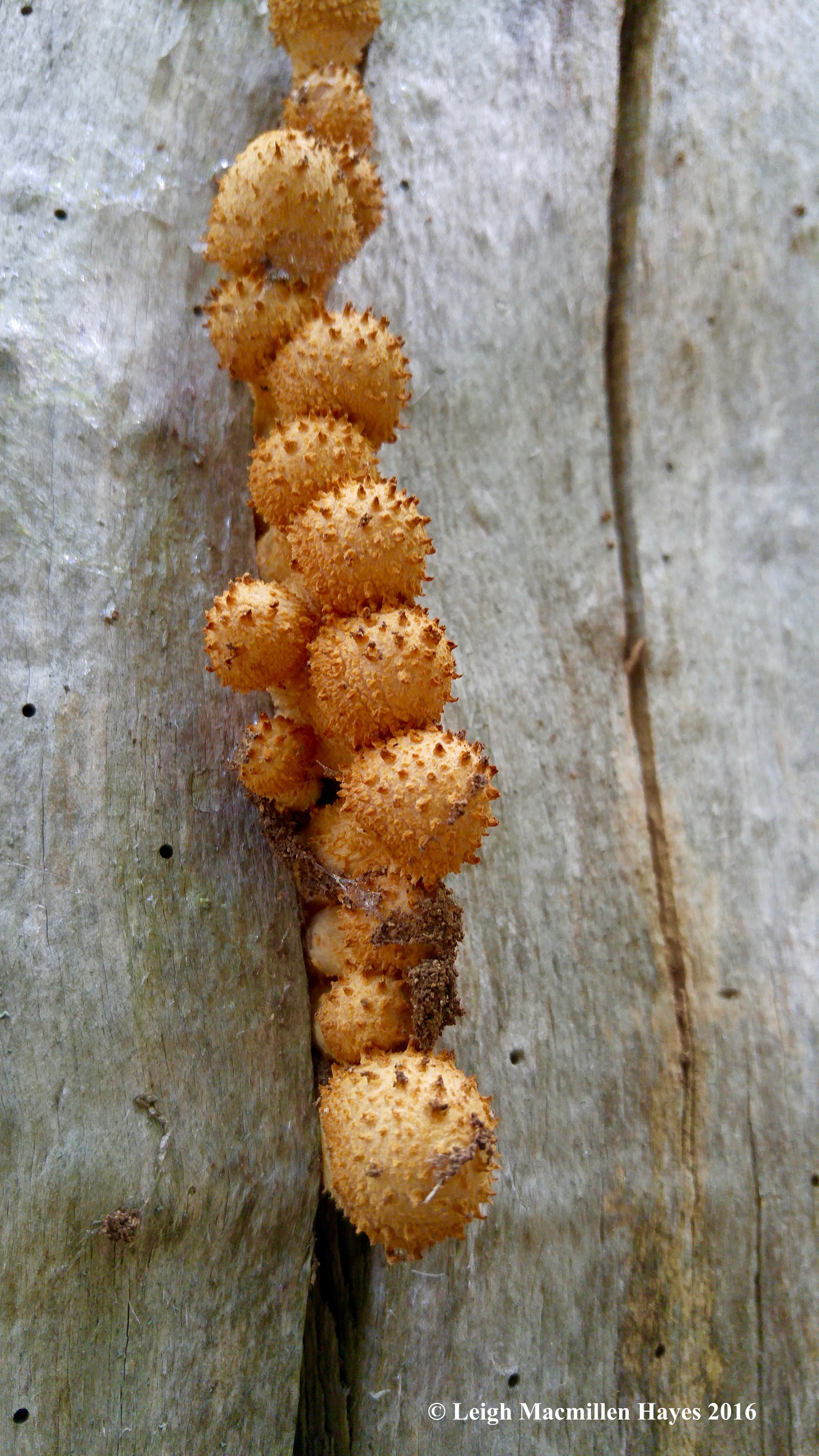
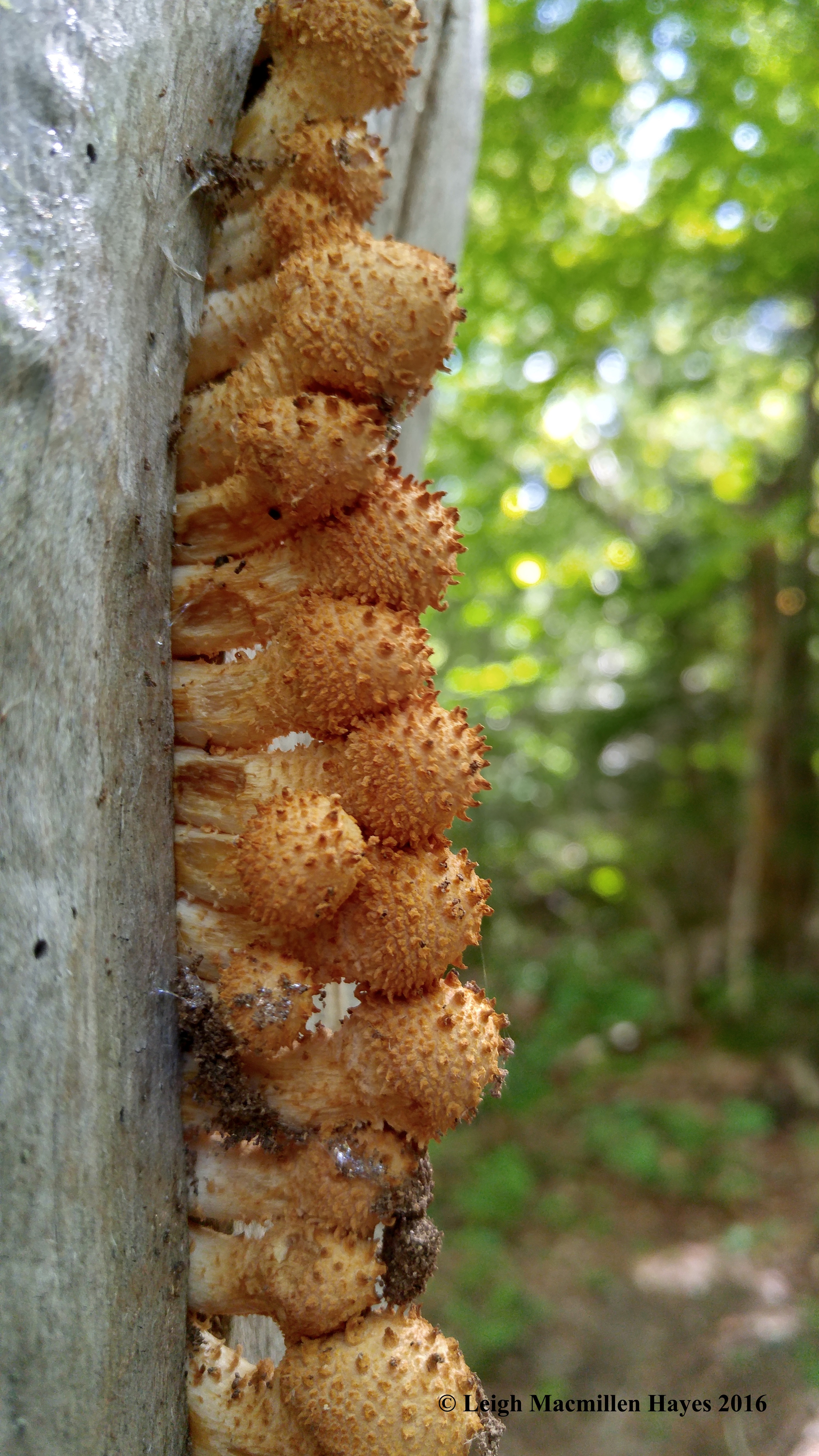
I know my mentors will correct me if I’m wrong, but I do believe this is Pholiota squarrosa, commonly known as the shaggy scalycap, the shaggy Pholiota, or the scaly Pholiota. Whatever you want to call it, it seemed to have its own vanishing point.
Much the same was true for the train tracks we crossed that head north toward Breton Woods.
And those that lead south from Crawford’s Notch.
Thanks to Ann for today’s hike into the vanishing point, a disappearance into the woods for a visual exploration.
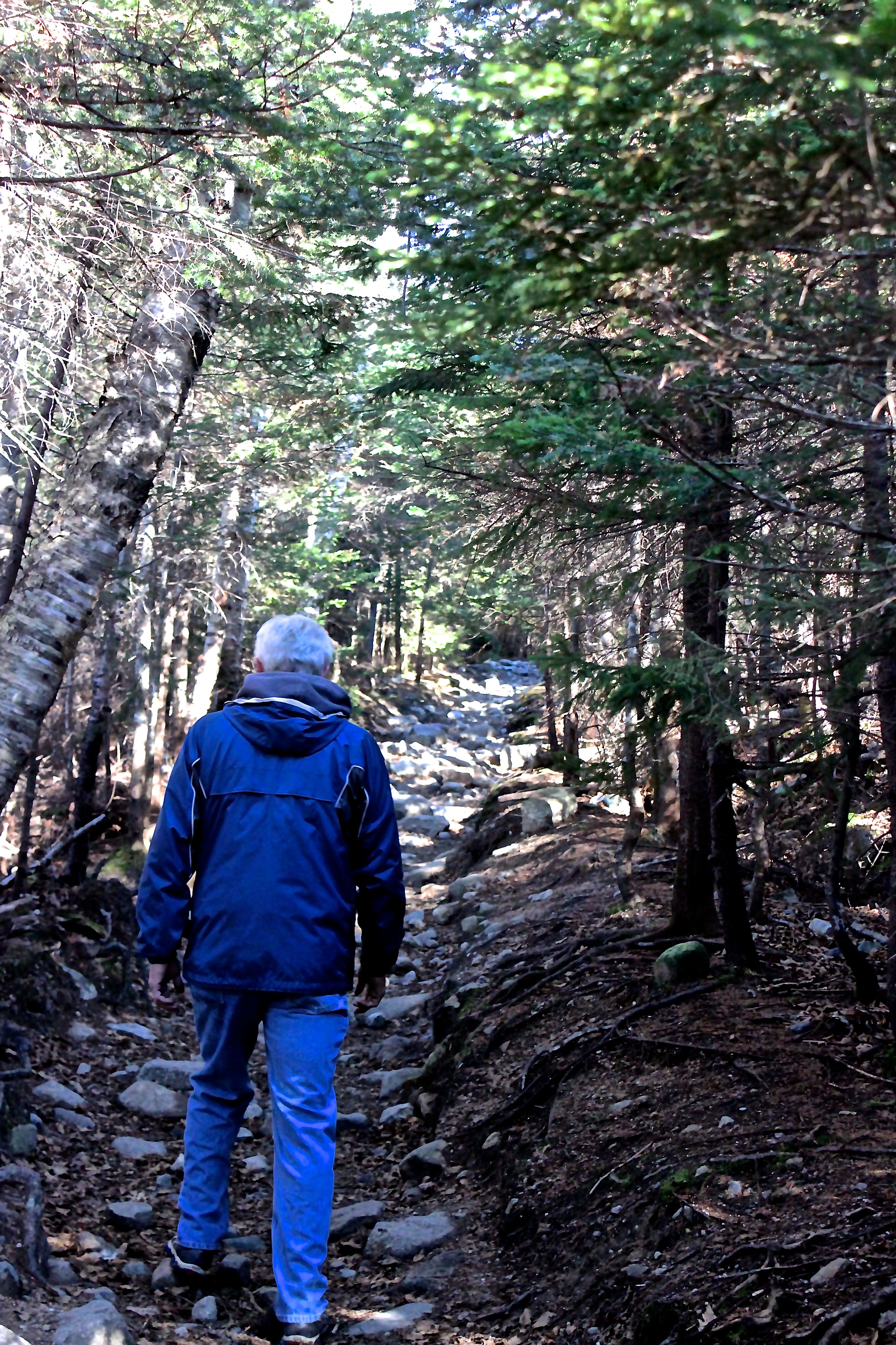
My guy works way too many hours and such is his life. So our attempt to head out early this morning didn’t exactly happen because he needed to sleep in a bit. It was just after ten when we reached our intended trailhead–Davis Path in Crawford Notch, New Hampshire.
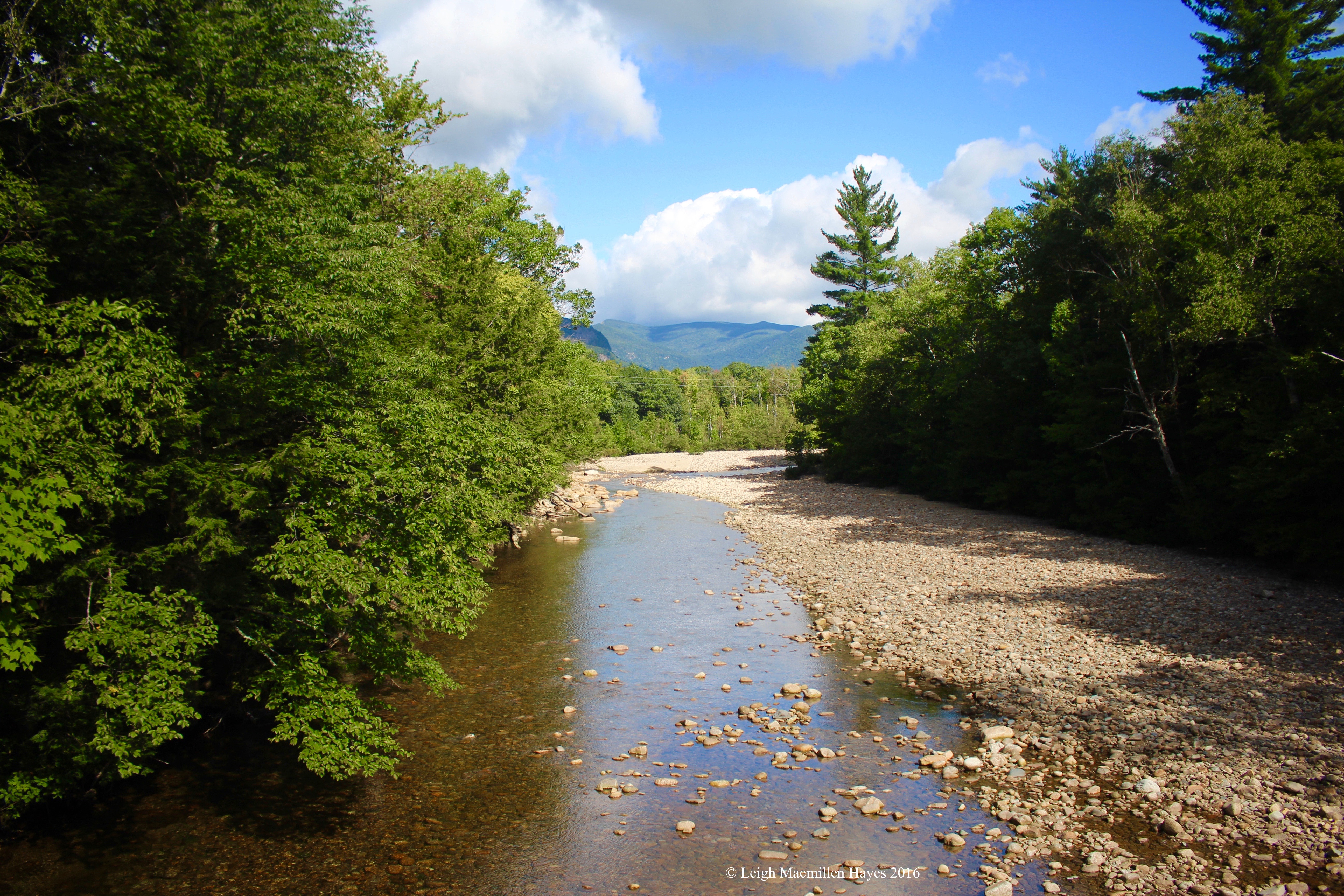
Our hike began as we crossed over the Saco River via a suspension bridge. In 1931, Samuel Bemis built a bridge that spanned 108 feet. The bridge was rebuilt in 1999, when the Town of Hart’s Location received a grant from the National Scenic Byways. The current award-winning bridge is five feet wide, spans 168 feet and was designed as an asymmetrical cable stay bridge–possibly the first such in the USA.
Below, the Saco River barely trickled.
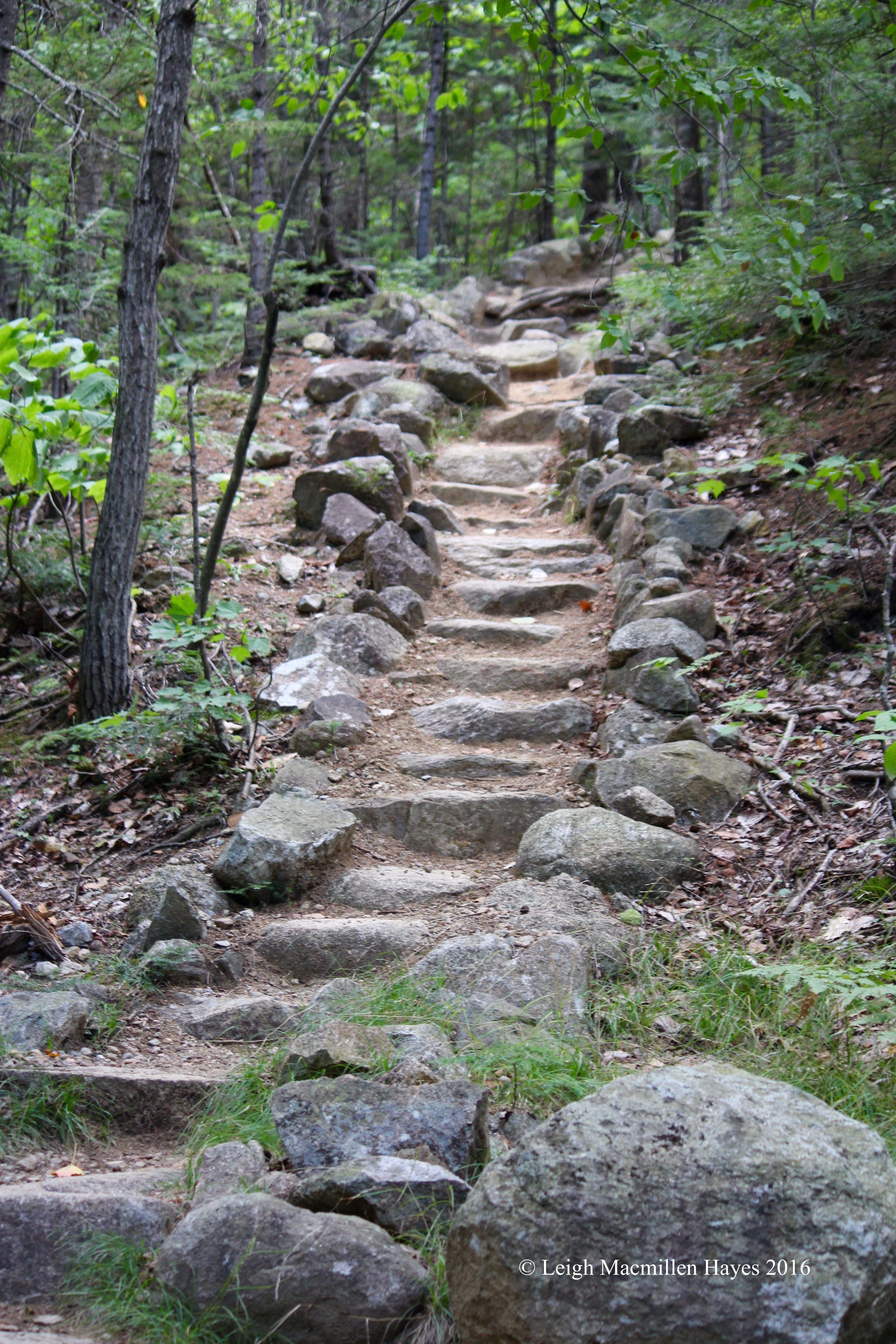
The Davis Path begins almost directly across the street from The Notchland Inn on Route 302. At the beginning of the trail, a sign informed us that Abel and Hannah Crawford’s son-in-law, Nathaniel Davis, built the Davis Path in 1845 as a bridle path. As intended, the trail covers 14.4 miles to the top of Mt. Washington. Our destination was the first peak–Mount Crawford at 2.5 miles along the path. Thanks to the AMC, what had been the bridle path is now transformed into a trail that includes a variety of stairways to heaven.
Conditions changed constantly as we climbed–in tune with the changing forest. Mixed woods to hemlocks groves to firs to spruces. The higher we hiked, the more I kept thinking about the fact that this was a former horse path. However did they do it? How many in a team? We were each operating at one-horse power as we huffed and puffed along, but I think a team of at least six would be much more appropriate. Six horses pulling me up–I liked that thought.
Instead, I spent a lot of time looking down, so I got to see the low sights–like this dinner spot;
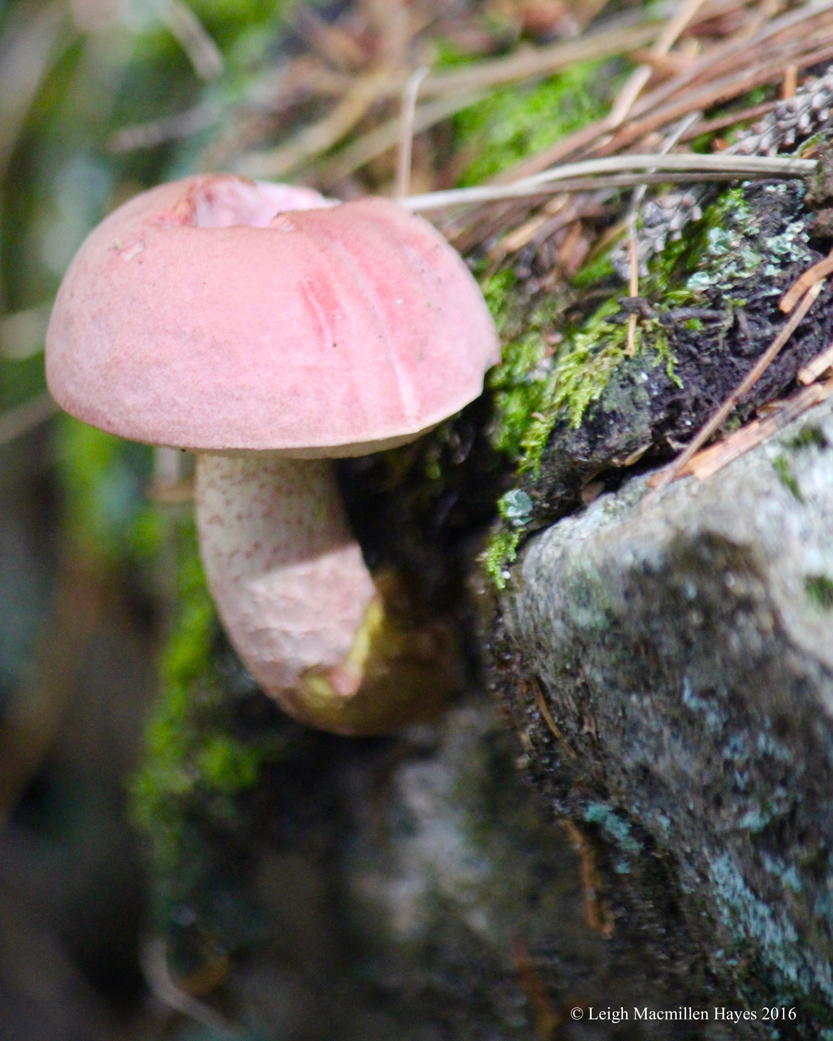
emerging fungi;
and fern shadows.
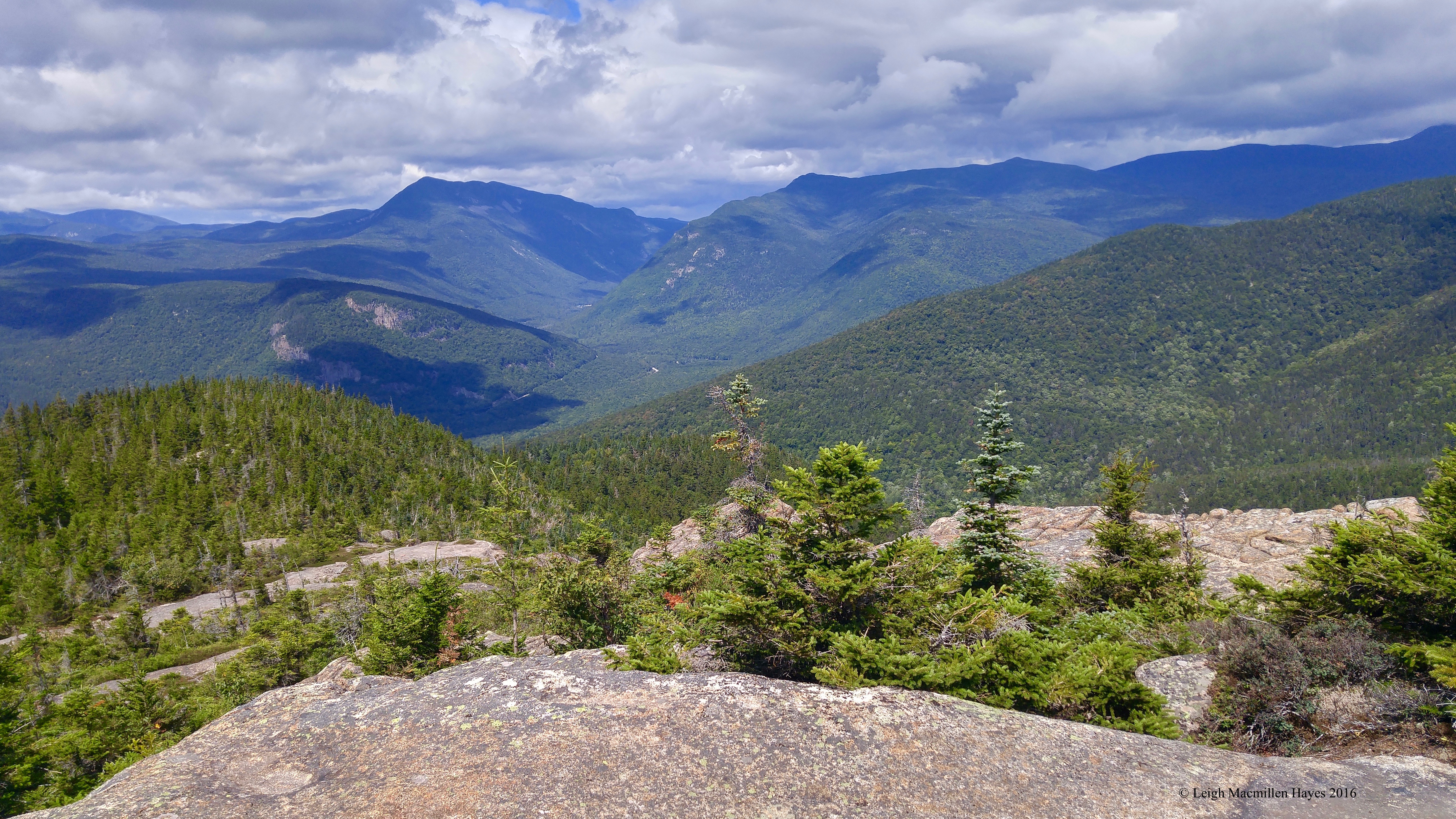
Eventually we reached the sign pointing the way to the 3,119-foot summit.
The trail changed as we hit the balds.
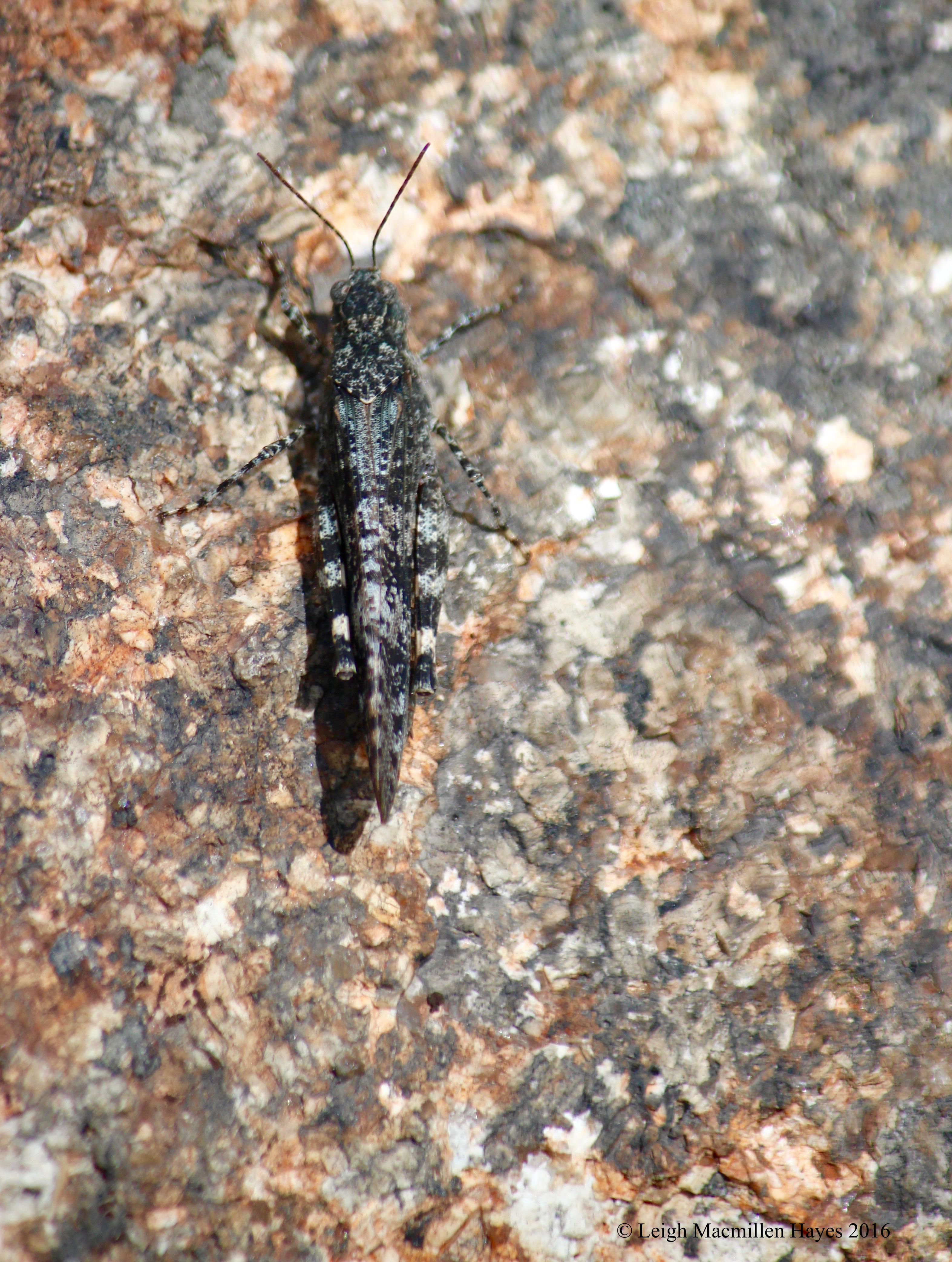
And my view changed. I heard this guy’s crackling sound as he flew from one spot to the next only a foot or so apart. This is a short-horned, band-winged grasshopper.
Also at our feet–mountain cranberries.
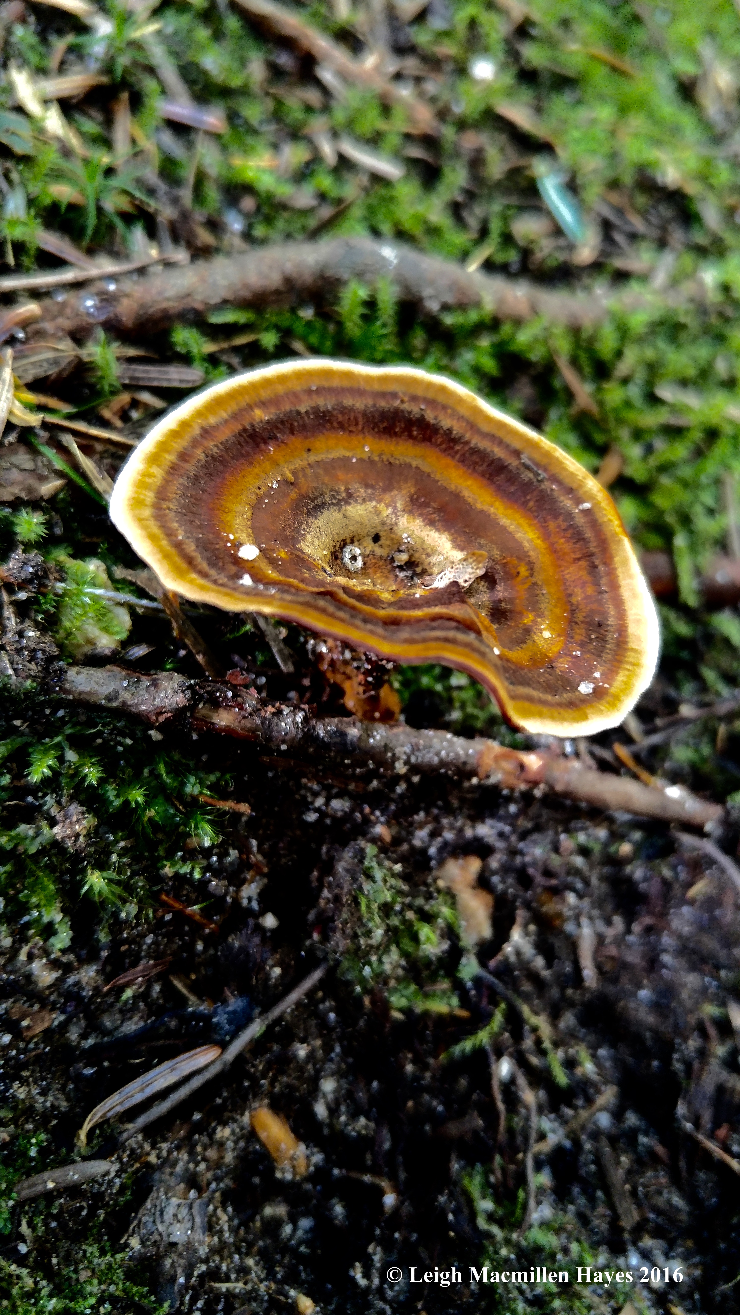
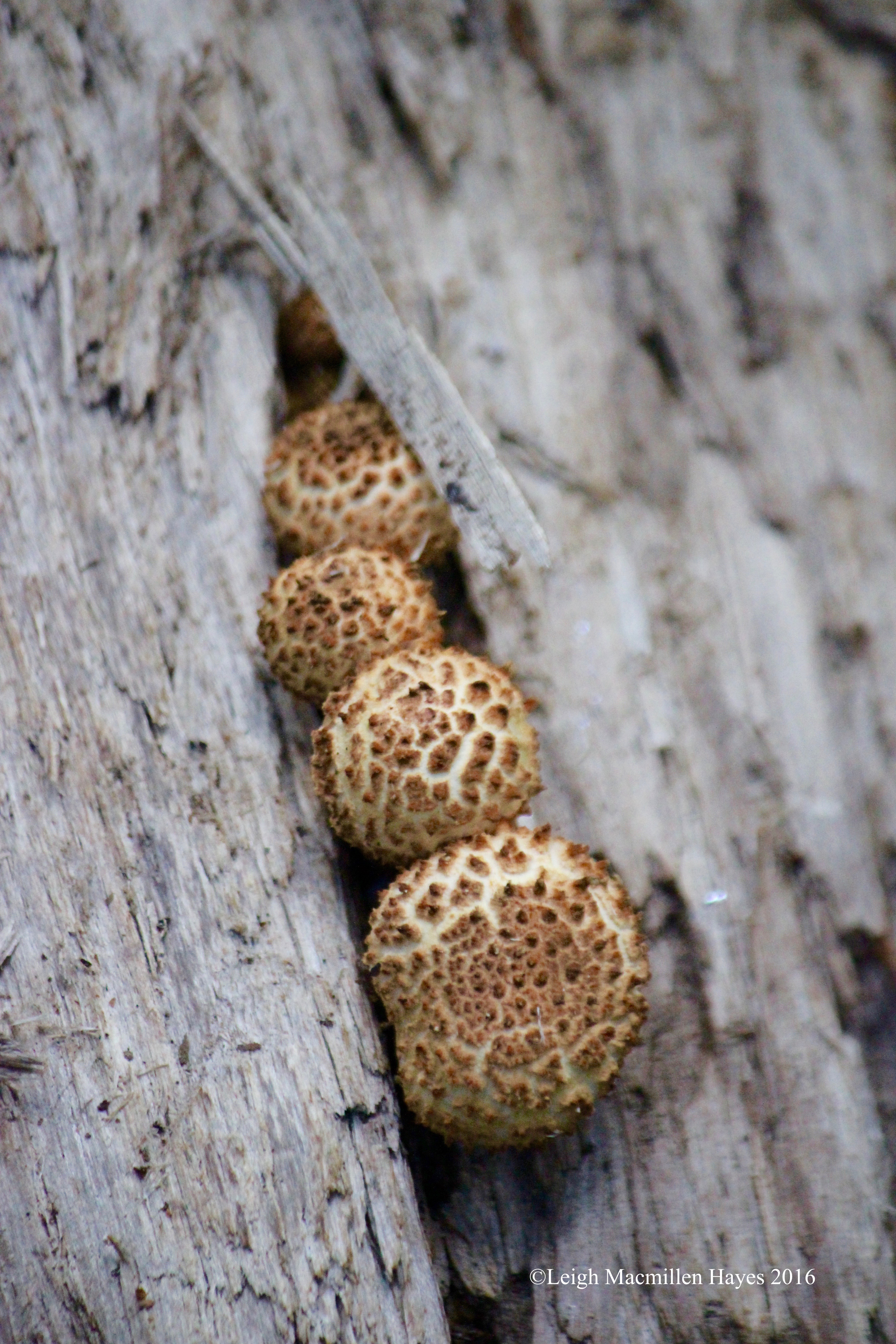
And then there was this single fruiting structure sticking out of the moss on a rock–a bolete, I believe, but I’m out of my league on this one.
Less than two hours and lots of sweat later, we emerged at the top where many had tracked before us. No horse prints. The wind hit our faces with a cold blast and we were forced to hold onto our hats. Mount Washington and others were obscured by clouds.
The view was 360˚. We took it in, but the clouds truly did tell the story of the wind. And so we paused only briefly, noted the notch for which this area is named and then started our descent.
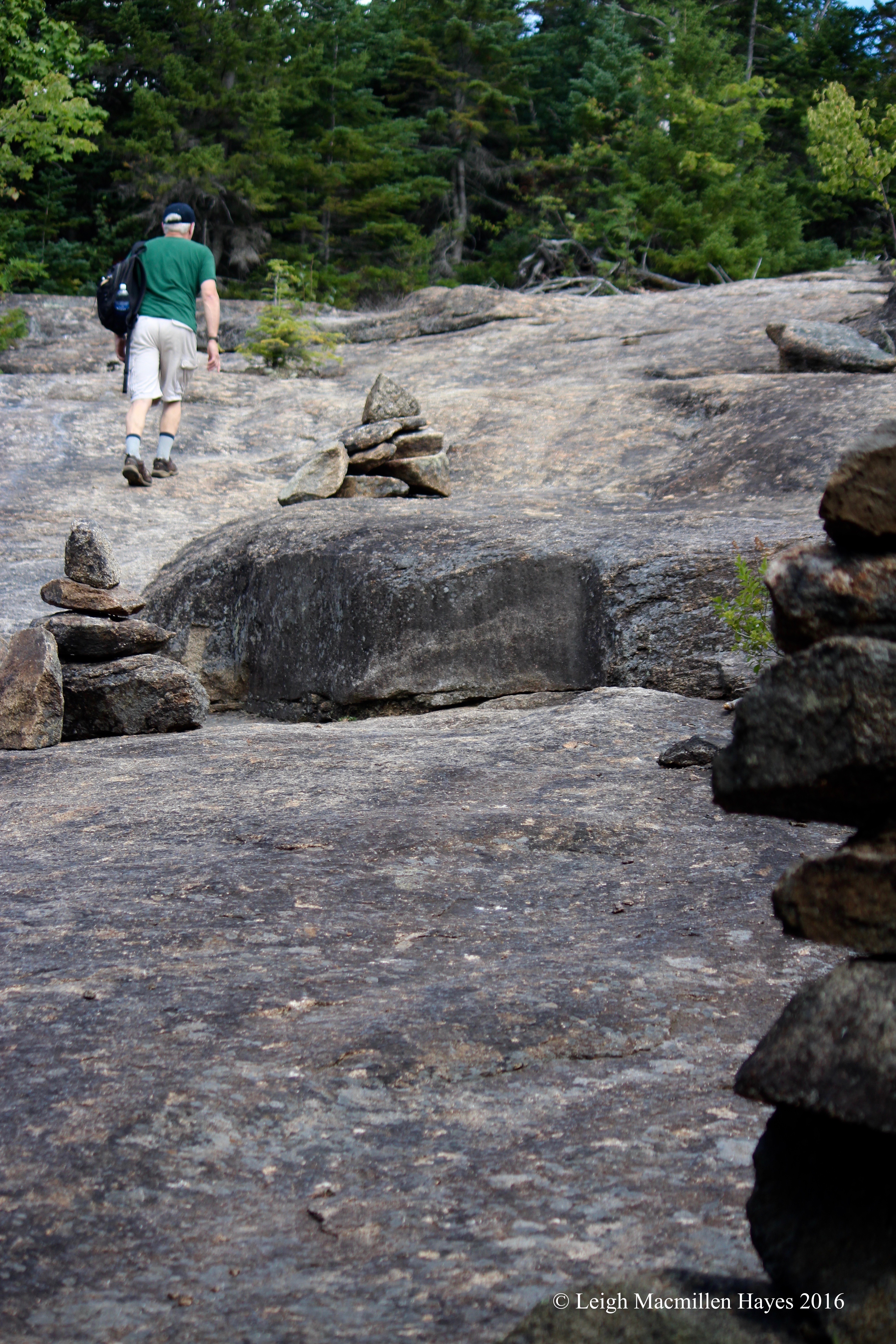
On the way down, we found a less windy spot and located lunch rock–it’s the rock to the far right.
My focus was a bit higher as we descended and so I saw artist’s conks,
heiroglyphics left by bark borers,
and signs of the future.
Our descent was quicker than I thought it would be. As we practically rolled down the mountain, I was sure that had I been behind a team of horses, I’d be pulling on the reins and yelling, “Whoa Nellie.” And that brought memories of my mom, who was named Nellie, but went by Nell. She and Dad would have loved the fact that we have made a point to fold as many Mondates as possible into our lives. They loved long walks along beaches and finding picnic places. We love long hikes and finding lunch rocks. Same thing at a higher elevation.
My guy and I enjoyed another wonderful Mondate–at one-horsepower speed.
Every Monday spent with my guy is top notch, but this one will stand out above others.
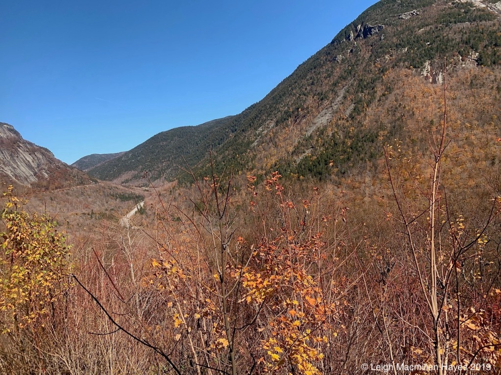
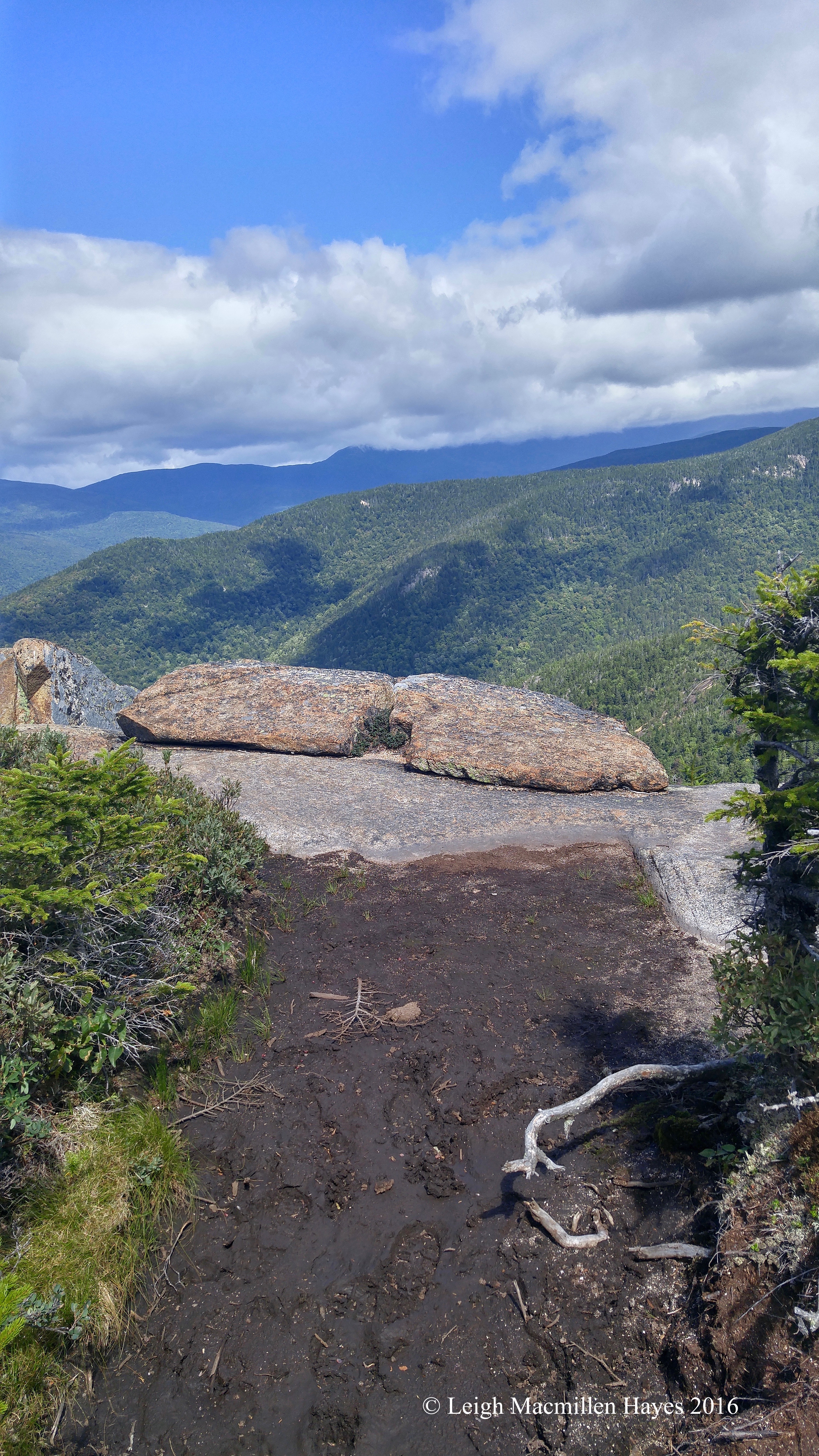
Our destination–Mount Willard in Crawford Notch. Yup, scaling up that sheer rock face was in our future. We were headed to the top of the Notch.
We chose this trail because it is rather easy and quick, yet offers a fabulous view.
Somehow before reaching Centennial Pool, I did a face plant. (Don’t tell my sister). This time it was a rock that dislodged under my foot. Yeegads, it’s been a rough couple of days, but all is well.
Watching water fall is like watching flames leap in a campfire–mesmerizing.
And refreshing–as in downright chilly.
Here and there, we found patches of snow. While one woman we met on the trail wasn’t thrilled about it, we rejoiced.
The path up Mount Willard is well trodden. In fact, it’s an old horse-drawn logging road.
Though muddy in spots, for the most part, it’s rocky–requiring an attentive perspective.
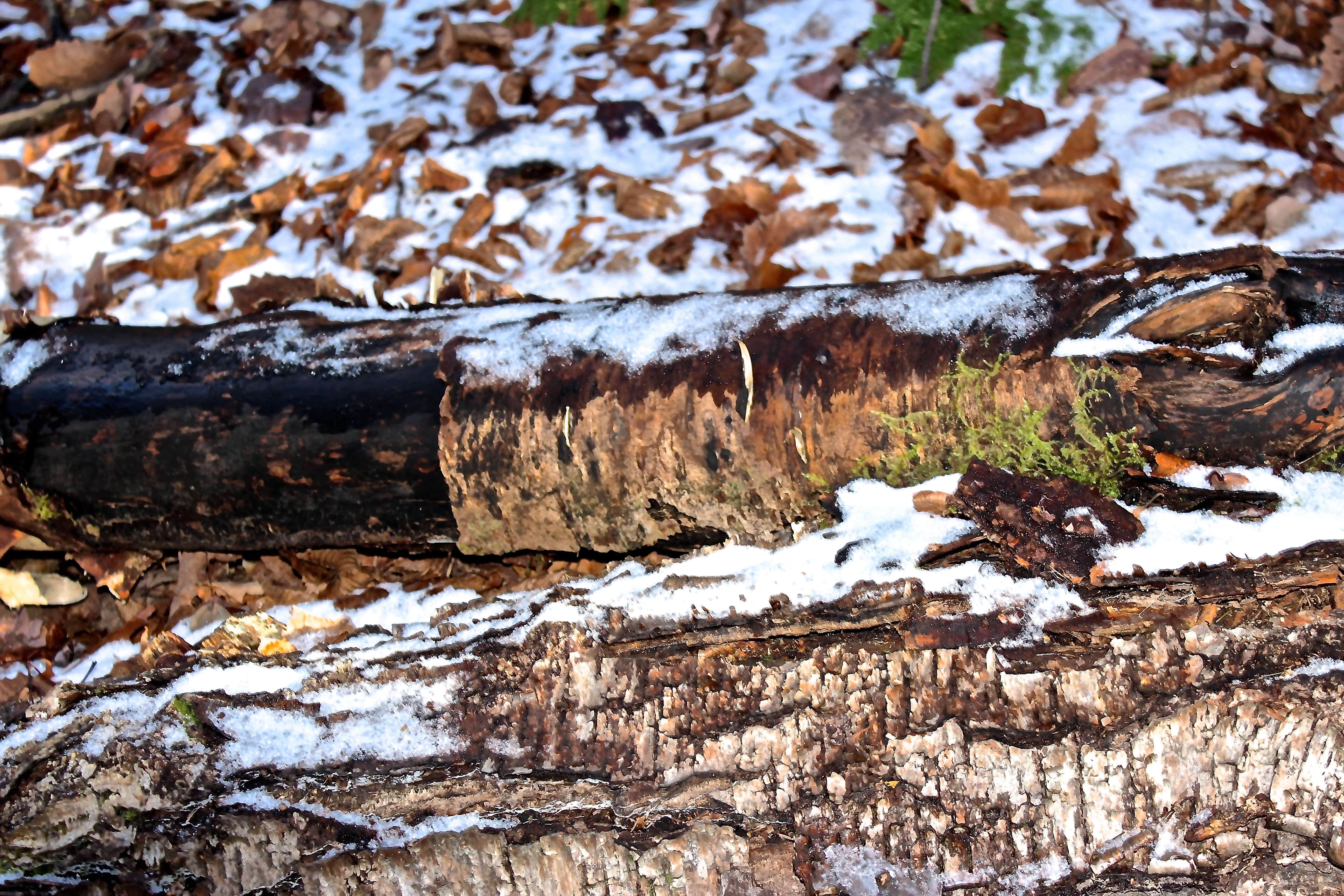
Like the moss growing in this cut log, we’ve developed a groove over the years that allows us to walk and talk or just walk. I love that we allow each other that space and time to think as we take it all in. To be in our own big worlds.
At the start, the trail passes through a hardwood forest mix of beech, birch and oak. And then the community switches to the softwood neighborhood–hemlock and spruce–it takes on that Christmas fragrance.
The prize awaits at the end of the tunnel,
where prayers reach far and wide as they blow in the wind.
A picture perfect view of Crawford Notch–who can ask for anything more? Route 302 directly below (hard to believe that this very road passes by our home) and the railroad tracks carved into the side of Mount Willey on our right.
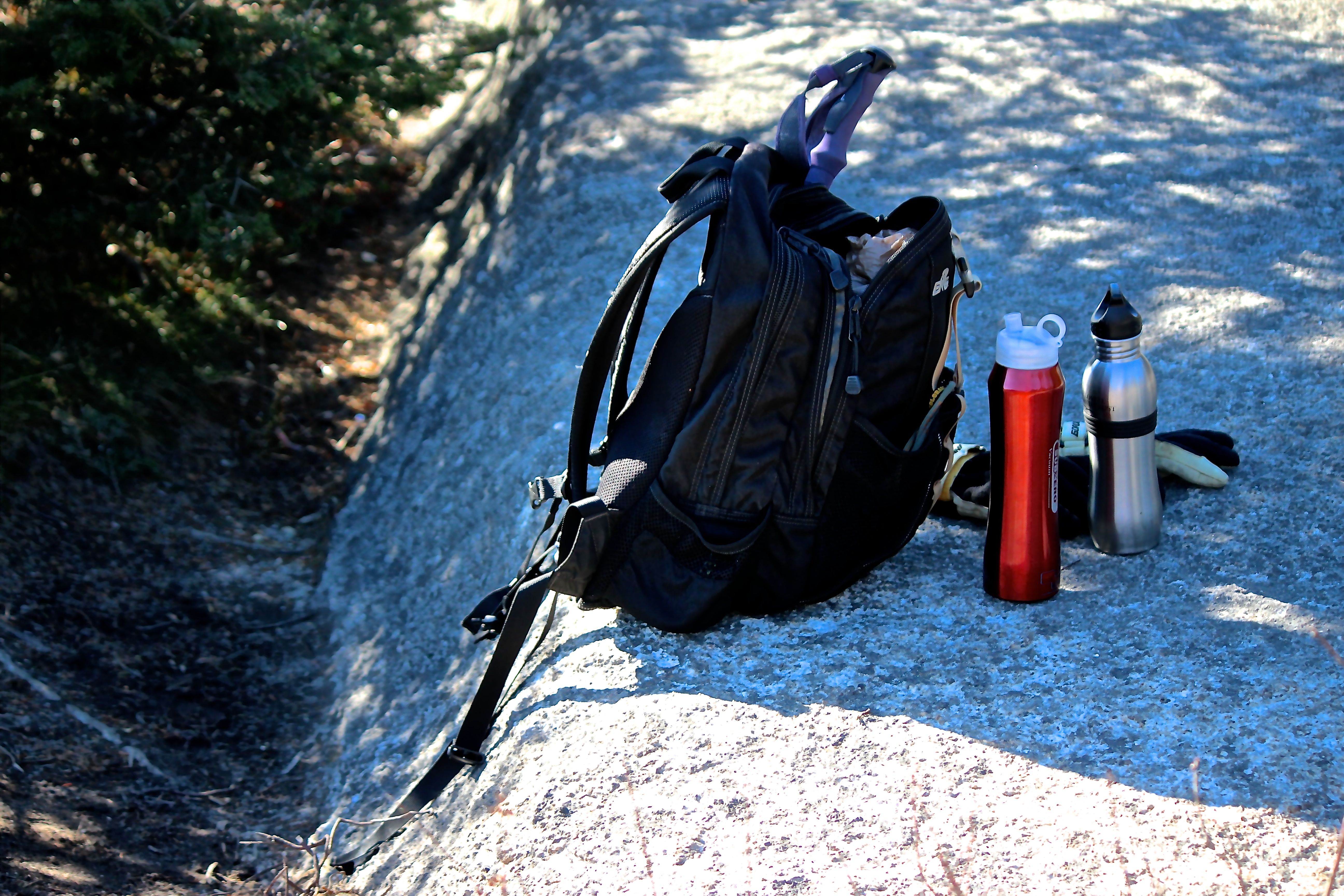
It was quite warm as we sat on lunch rock and enjoyed the usual–PB&J (with butter for me!)
Below us stretched the U-shaped glacial valley, formed to the left by Mount Webster. I’m forever in awe of such settings, where one can only imagine the forces that have shaped this landscape.
And continue to shape it, as evidenced by the mountainside erosion and landslides.
Though the spruce and firs do their best to hold all in check, nature happens.
A few steps to our left and a look over our shoulders–Mount Washington.
Somehow the descent passed quickly and we reached the Crawford Notch Depot in record time. But . . . we missed the train–by a month or so. Good thing our truck was still in the parking lot.
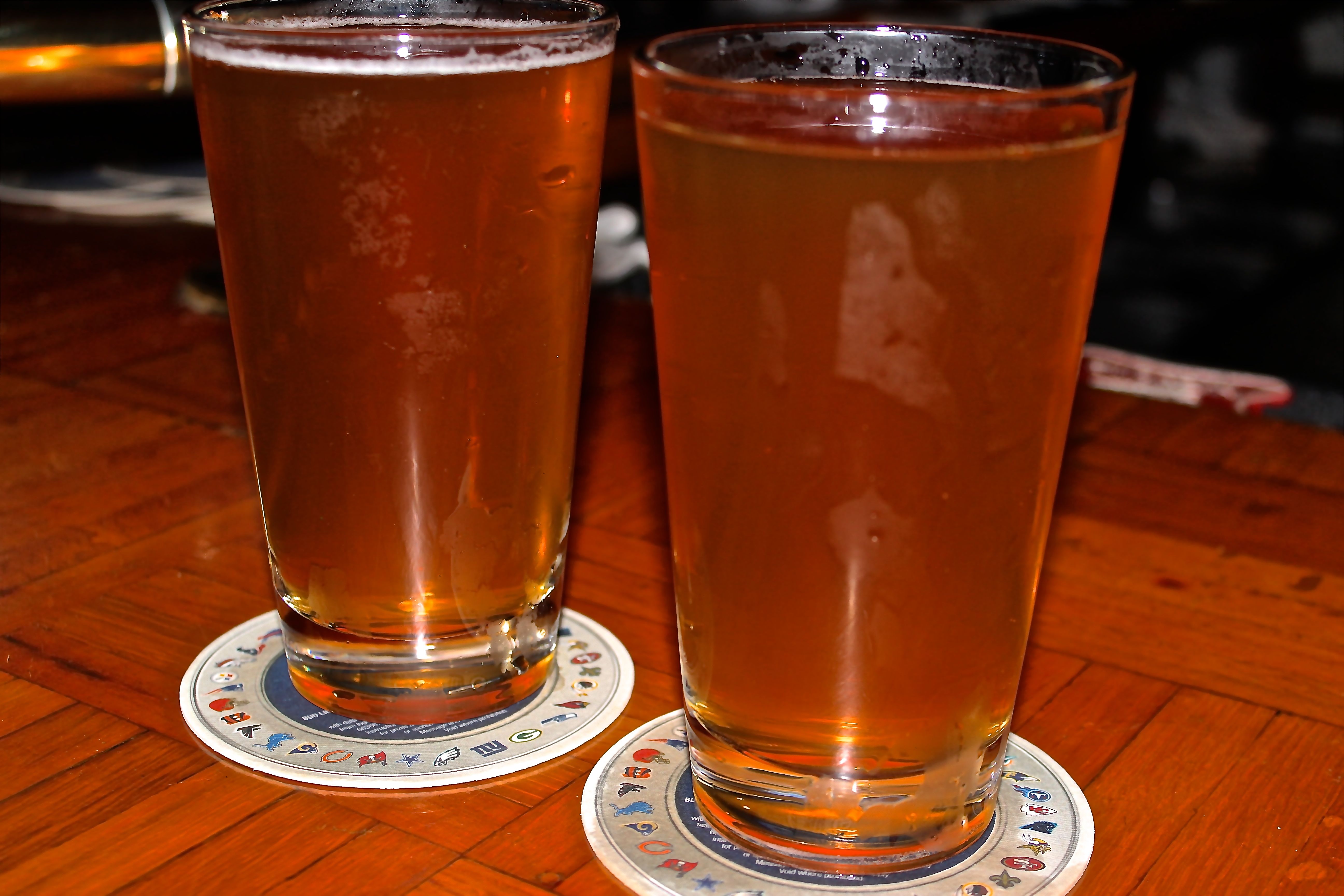
Since we were so close, we drove up to Bretton Woods for a rear view (as in backside, not rare) of the Great Mountain. Two clear days in a row–a treat.
To celebrate, we treated ourselves to a glass of Tuckerman’s Pale Ale.
And in return, we were treated to this view as we drove across the Moose Pond Causeway on Route 302.