Romancing the Stone Mondate

Visiting a site in winter that is so popular in the summer we actually avoid it unless hiking past offers an entirely different appreciation.

And so between errands in North Conway, New Hampshire, this afternoon, my guy and I donned our micro-spikes to traverse the hard-packed snowy ice trail into Diana’s Bath in neighboring Bartlett.

Upon reaching Lucy Brook, the history of the area was briefly documented on an interpretive panel that provided information about George Lucy who built a sawmill in the 1860s powered by an undershot wheel on the brook and a home not far from its banks.

About 1890, when tourists began making regular visits to the brook, Mr. Lucy added a boarding house and barn, but business never took off the way he’d intended.

By the 1920s the water wheel was replaced by a turbine fed from a penstock pipe, the remnants of which remained for us to gain a better understanding of the passage of power.

Above the turbine we could see another piece of the penstock pipe burrowed within the ledge upstream.

Before climbing up to it, I walked below the turbine site while my guy stood over and thought about the Lucy family’s history, which in a professional way is connected to his own for the sawmill idea was eventually abandoned as the Lucys realized they could use a portable mill to harvest wood and later descendants owned a lumber yard and then one of them opened a hardware store and he and my guy periodically touch base to share ideas or stock and both could be known as Mr. Hardware.

Upon the interpretive panel, we appreciated a photograph of the sawmill for it aided our comprehension of the view before us.

To our best understanding, the cement located above the penstock was part of the mill and dam created by Chester Lucy in the 1930s. Today, water swirled through and flowed over.

Below, the natural formation of rocks obscured was reflected in the shape of icy indentations.

Above, water hugged rocks in mid-cascade and created designs and colors that changed with each moment frozen in time.

We finally moved upward where more baths were plentiful but on this frigid day the thought of a dip was quickly suppressed by reality.

Still, we were intrigued by the power of it all as water gushed between curtains of ice.

As for the name, Diana’s Bath, I’ve heard several renditions including this from Robert and Mary Julyan’s Place Names of the White Mountains (a great bathroom read):

These curious circular stone cavities on Lucy Brook originally were known as the Home of the Water Fairies; tradition says evil water sprites inhabited the ledges, tormenting the Sokokis Indians until a mountain god answered the Indians’ prayers and swept the sprites away in a flood. But sometime before 1859 a Miss Hubbard of Boston, a guest at the old Mount Washington House in North Conway, rechristened them Diana’s Baths, presumably to evoke images of the Roman nature goddess. The pools are also called Lucy’s Baths.”

In the midst of wondering, I noticed a rare sight that added to the mystique of this place. Do you see four circular discs in the water? All spun at the same rate despite their varied sizes.

They were ice discs spinning counterclockwise much to my delight. This rare phenomenon was caused by the cold, dense air formed within the eddy at the base of the fall.

After that sight, we continued to climb until the brook leveled out. And then we pause before the spirit of one made from the same crystals that flowed beyond; one who wore a smile indicating he knew the ways and whys and wonders of the brook even if we didn’t.

As it turned out, he wasn’t the only one.

The woods were full of those who listened like old sages,

and smiled with a secret knowledge tucked within their grins.

Through it all, we felt the love of the universe as we tried to interpret the romance of the stones–icy though they were. And on this first Mondate of 2019, we were grateful for our “dip” into Diana’s Bath. It’s so much better in the winter than summer, especially on a weekday, for there are far fewer people about. But the sprites and fairies. They are there. Some you might even find among the rocks and boulders; I know. I saw a few. And others, might be upon the tree trunks. Or in the midst of the water.

If you decide to Romance the Stones, do know that unless you have a White Mountain National Forest Pass, you will need to pay the $3 fee to park. For some reason, the sprites don’t take care of that. Hmmm . . . one would think.

Amazing Race–Our Style: episode ten

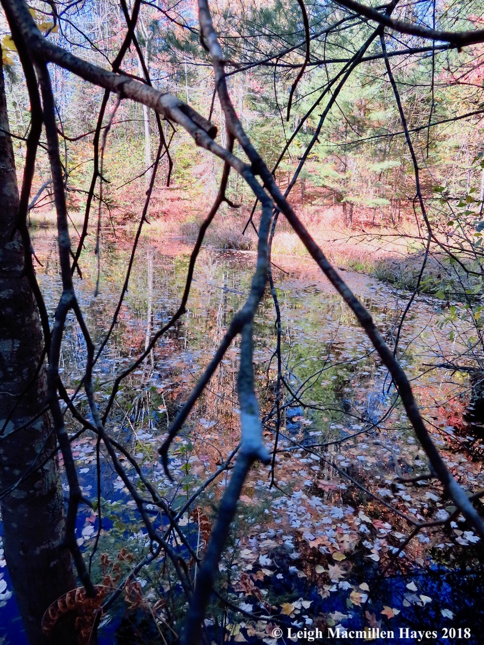
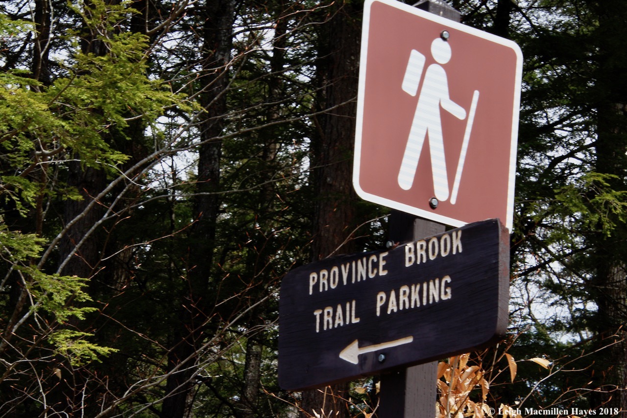
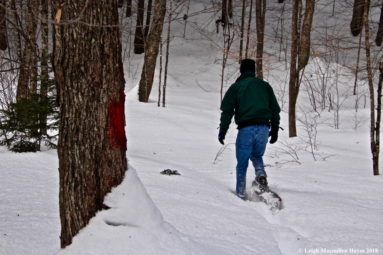
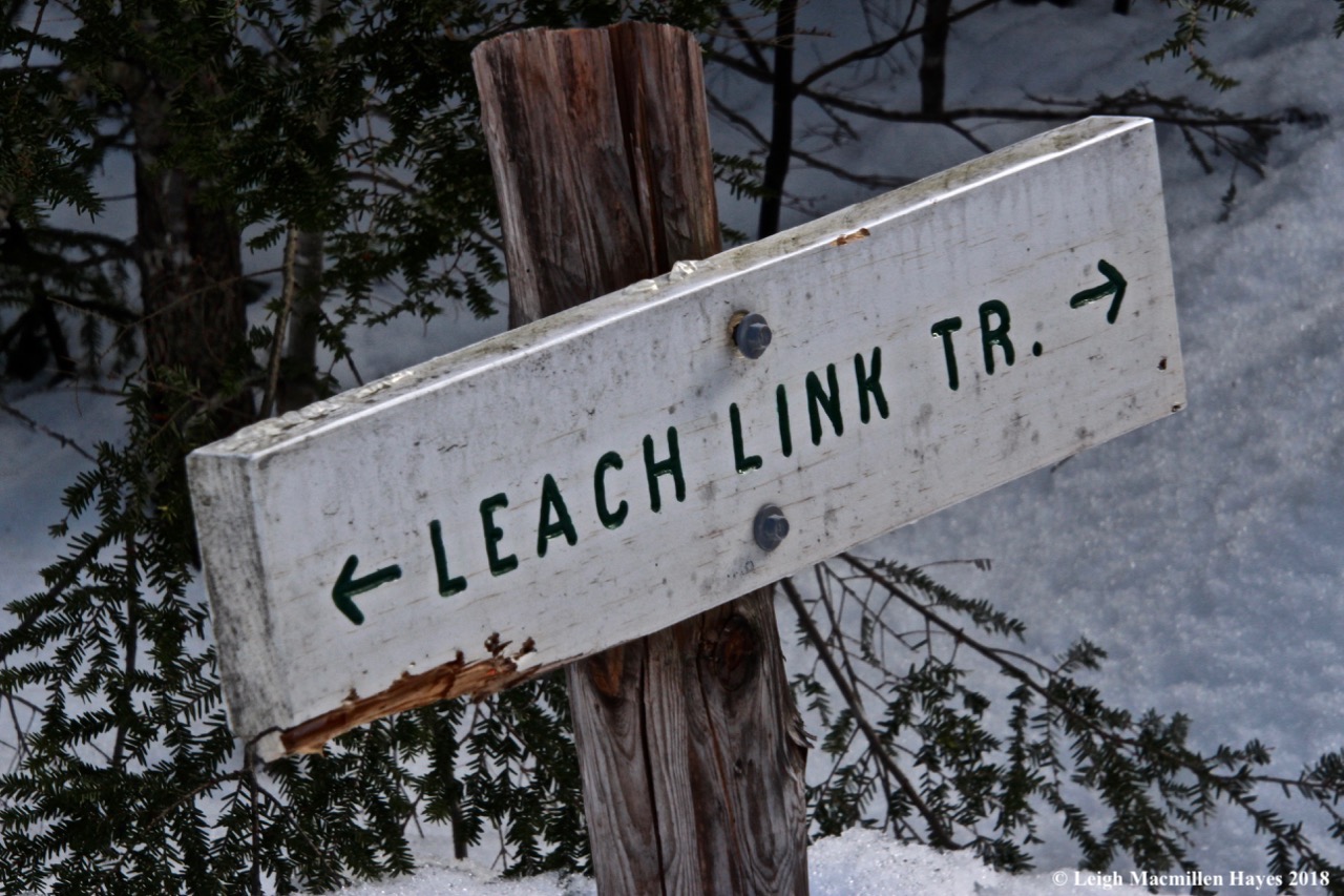
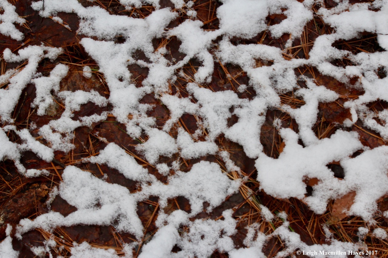
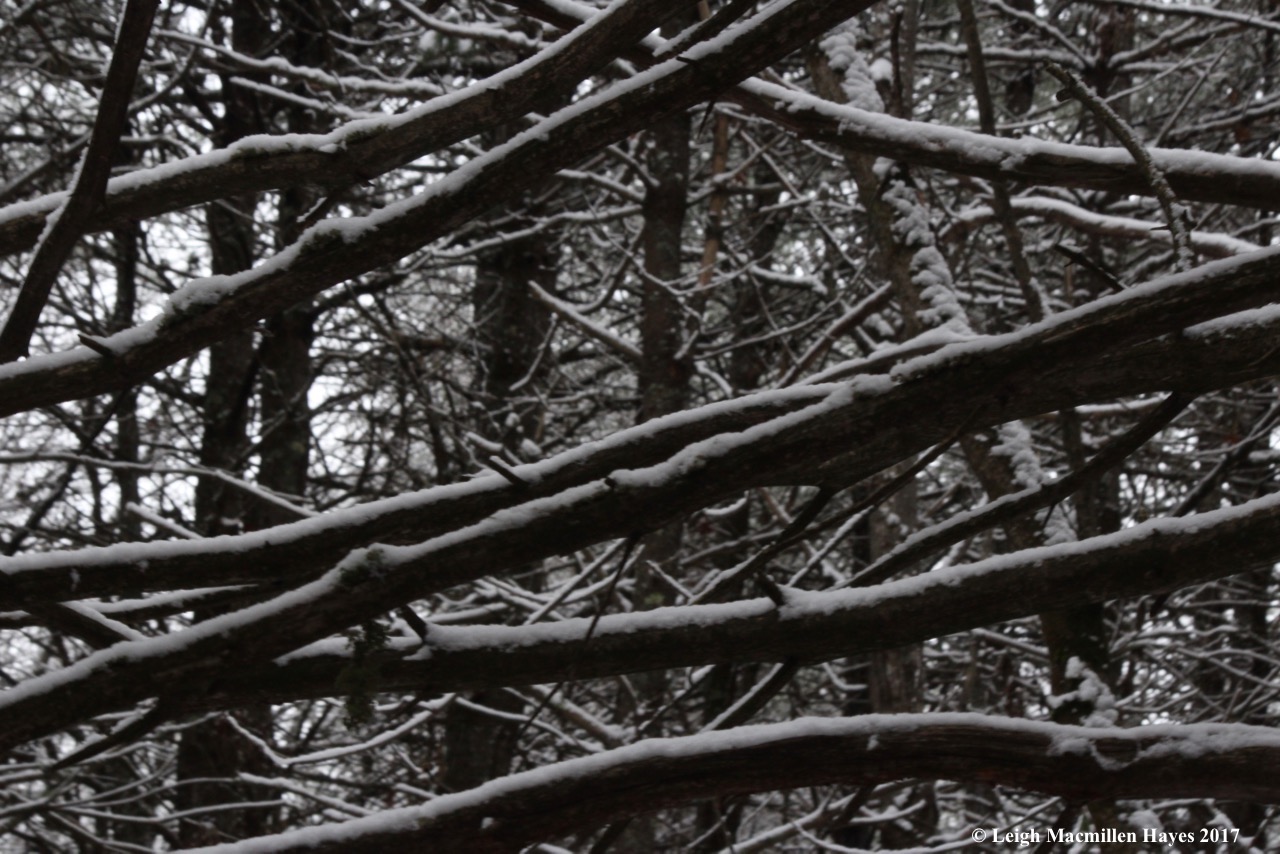
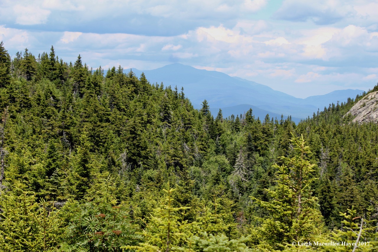
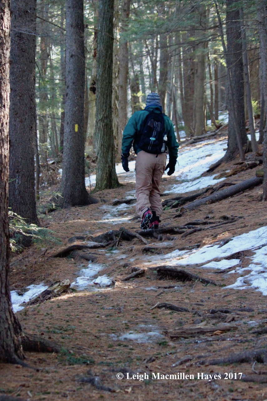
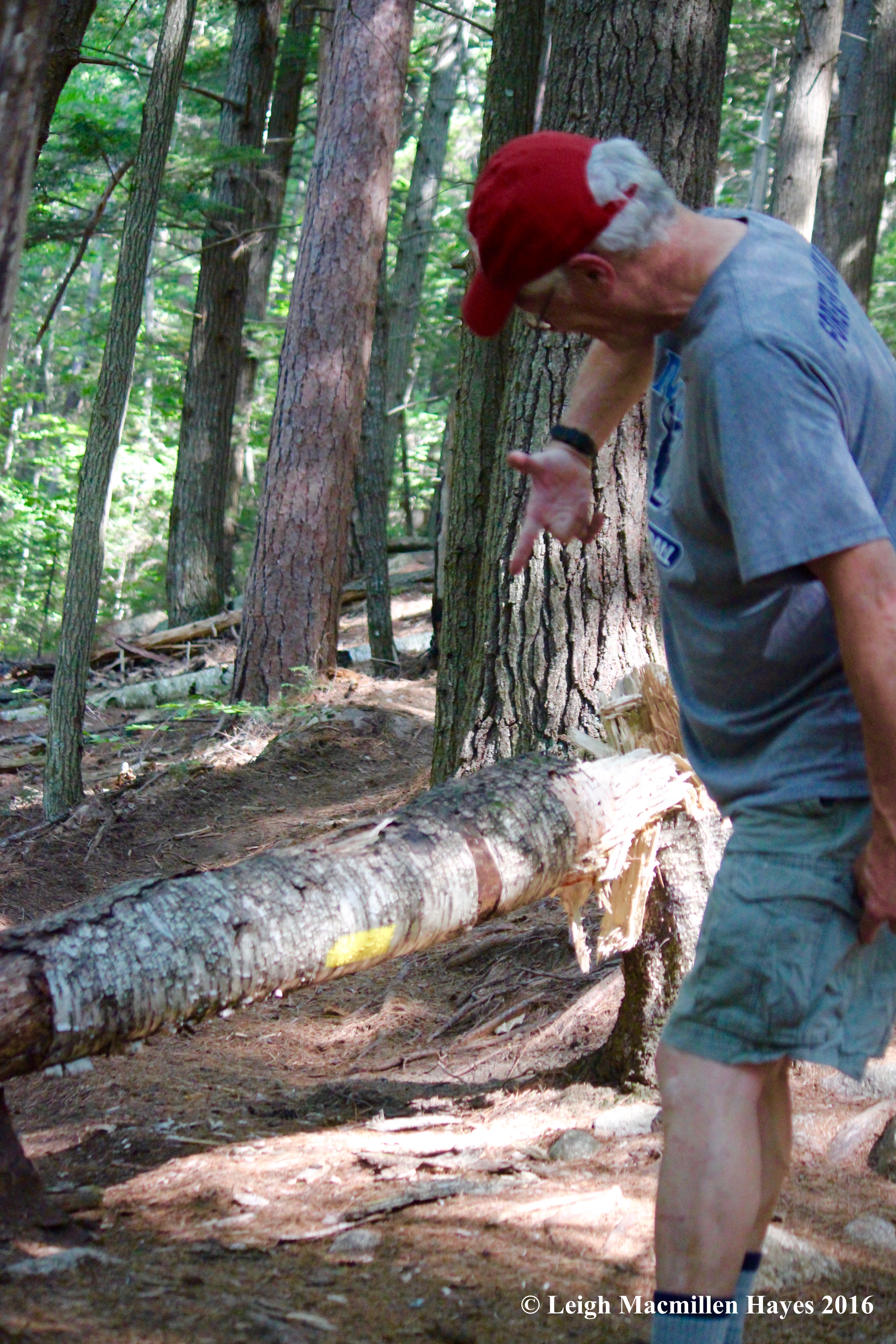
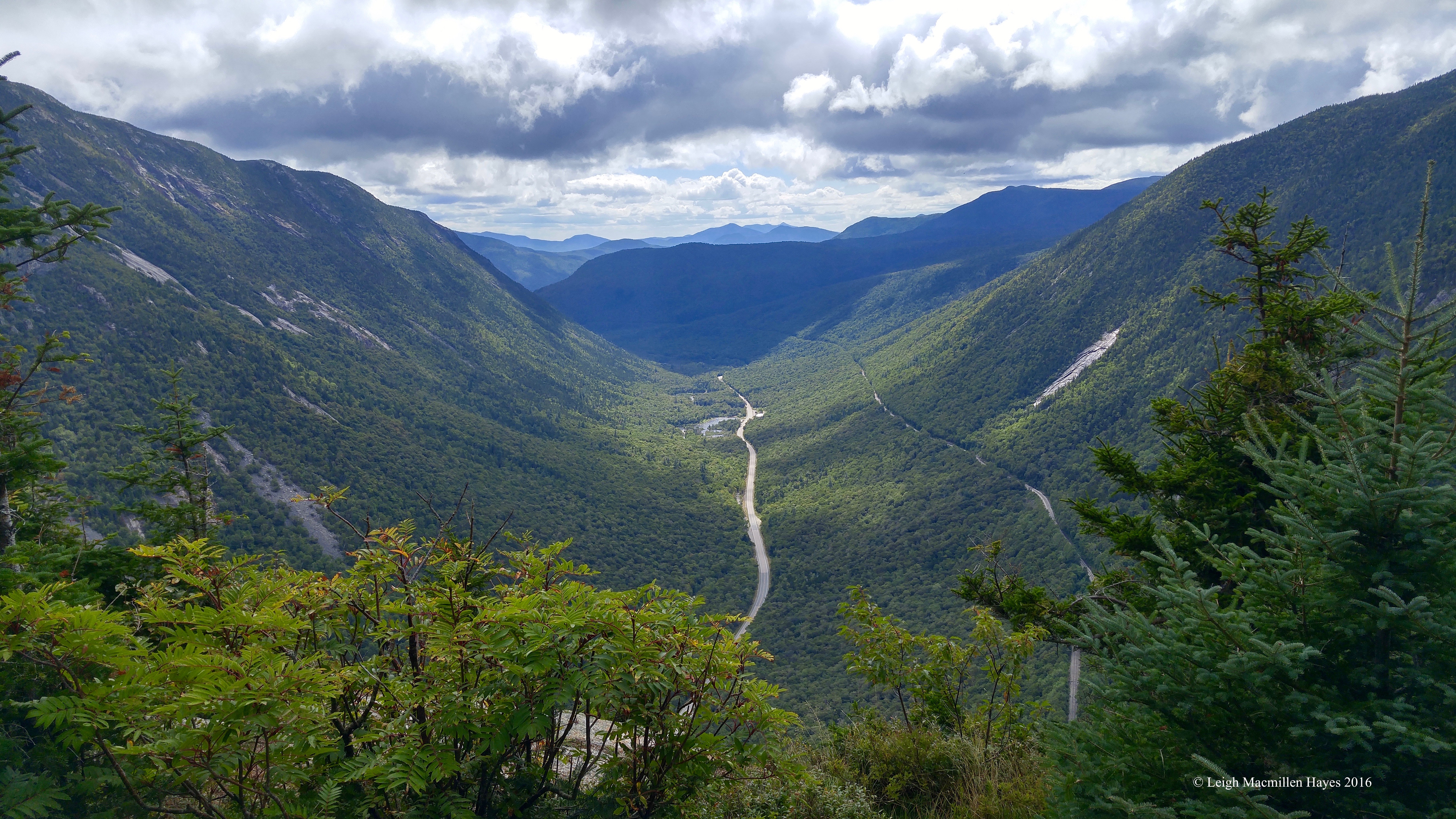
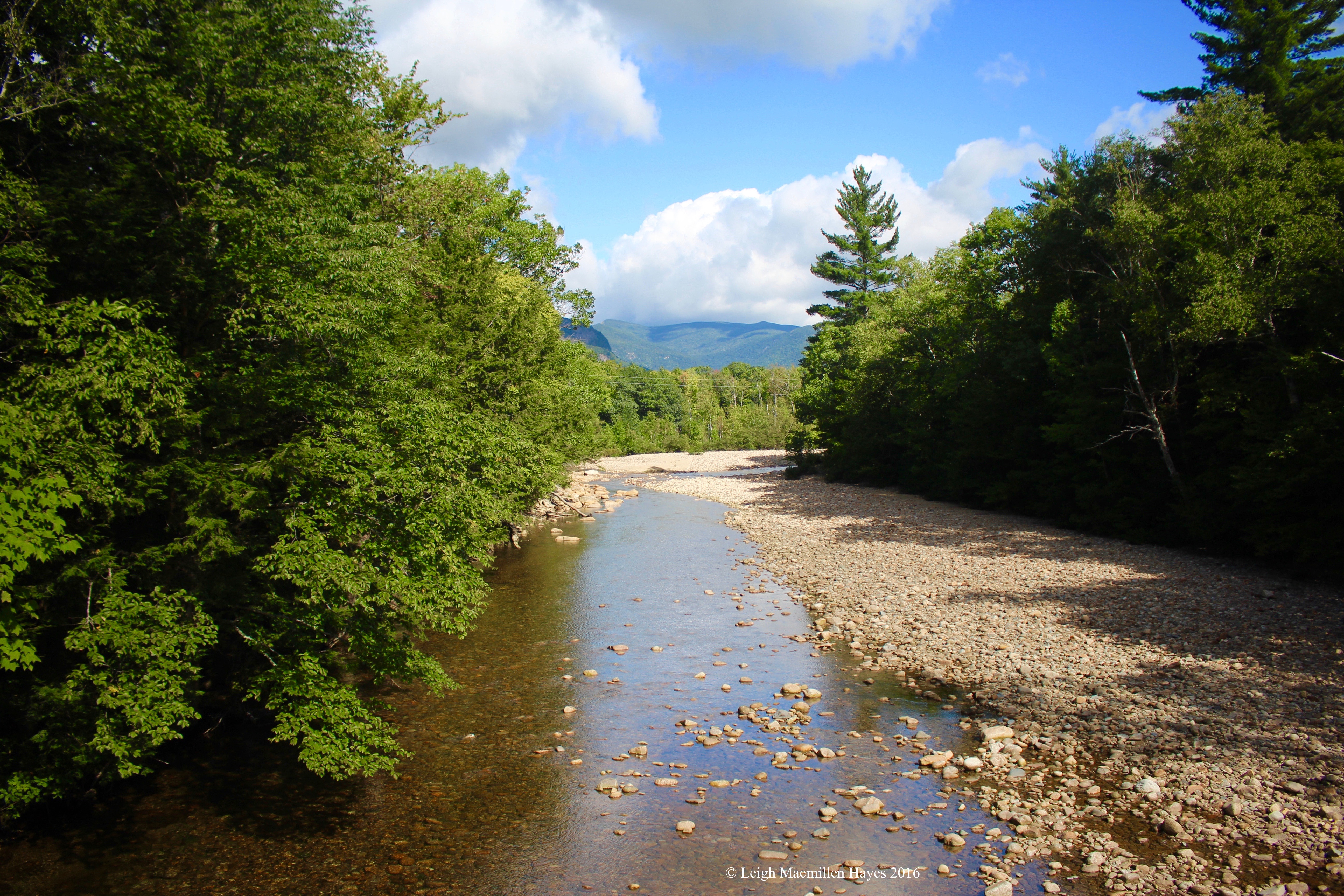
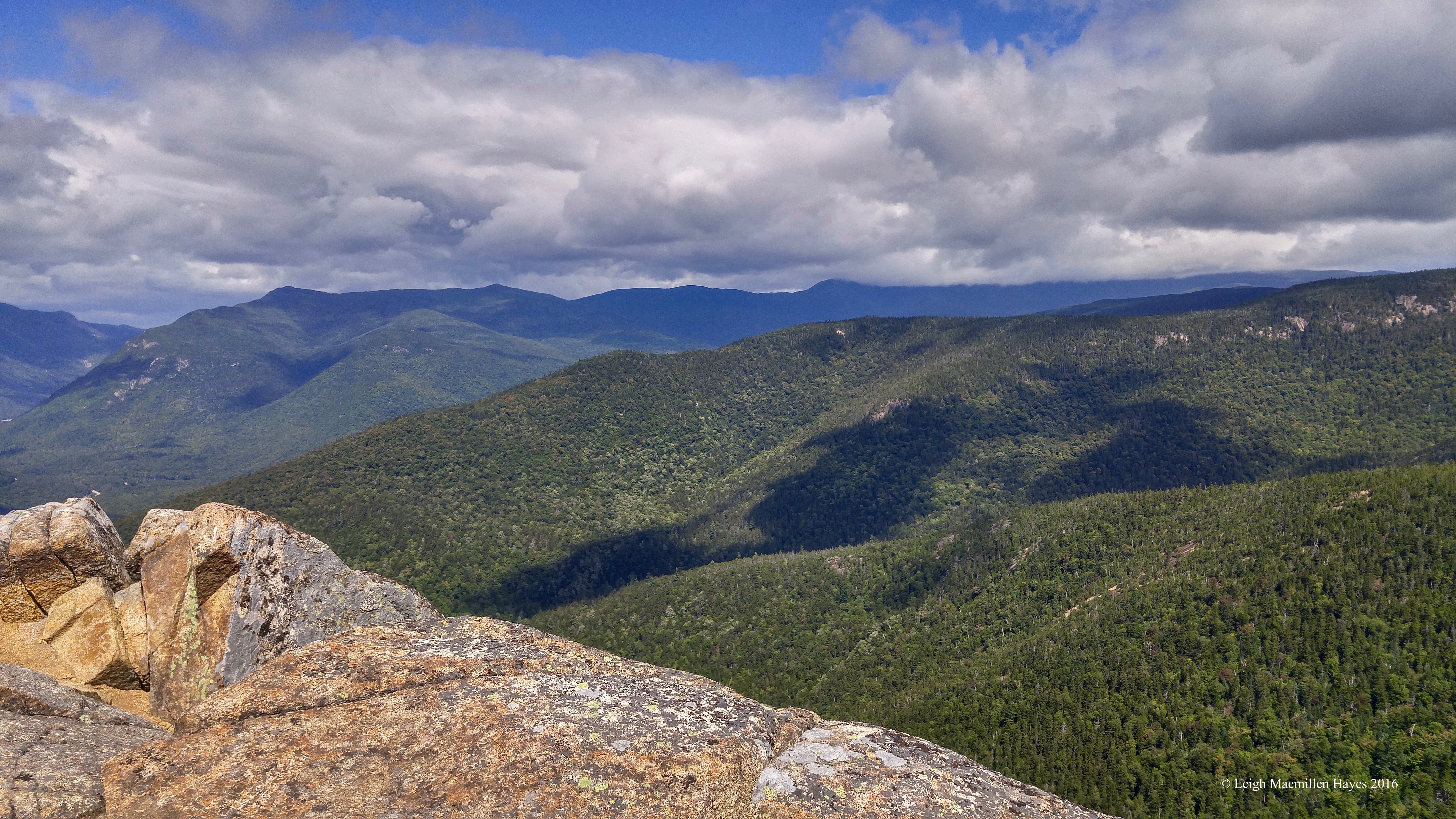
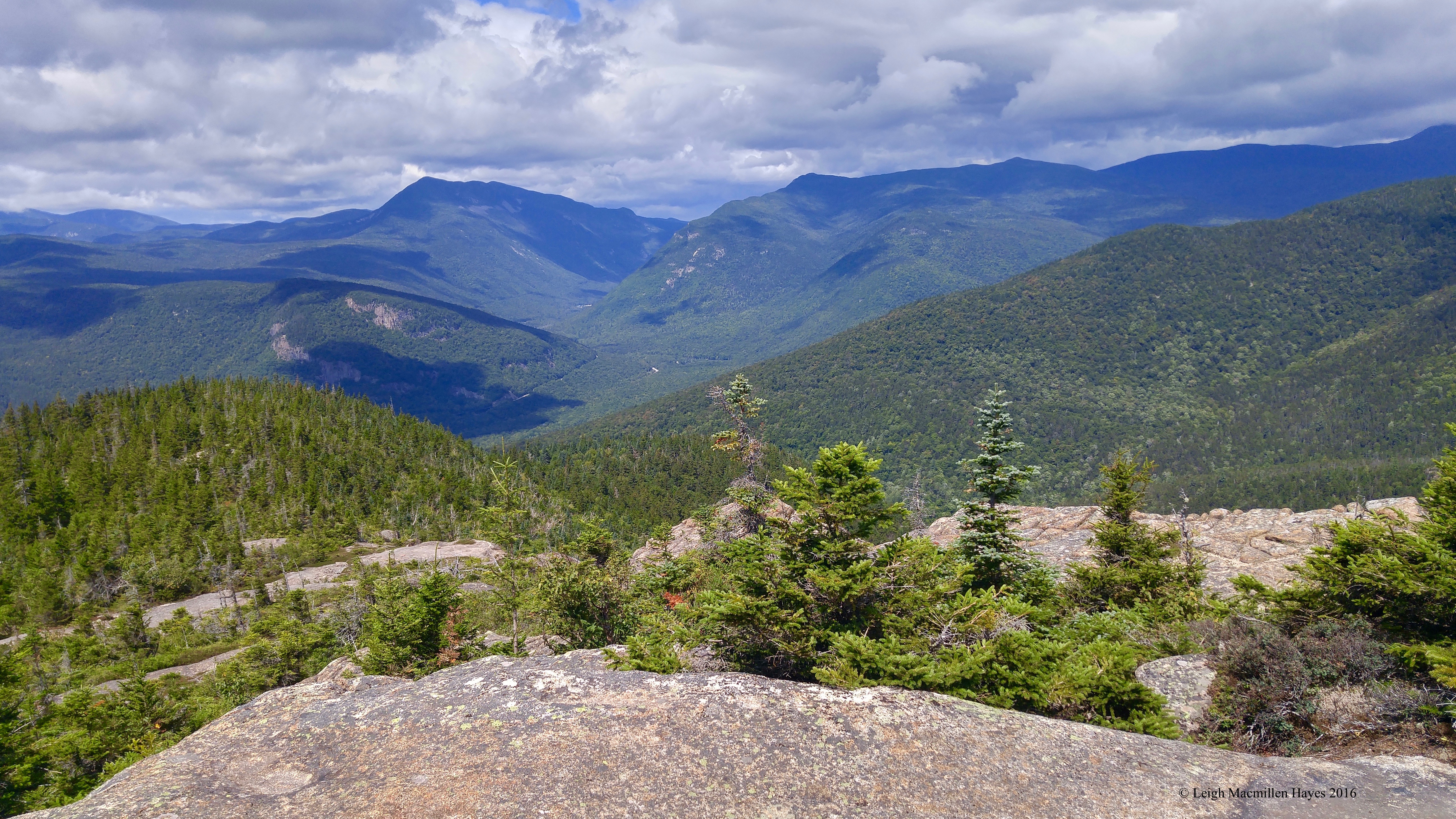
I can’t believe we are still in the race, but we are. And so last night the clue arrived as mysteriously as ever and a wee bit vague: Drive west and then south, following Routes 16, 125, and 111. Find your way to Stonehenge.

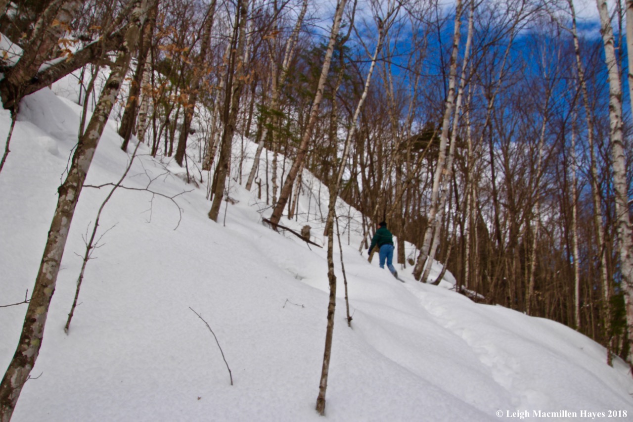
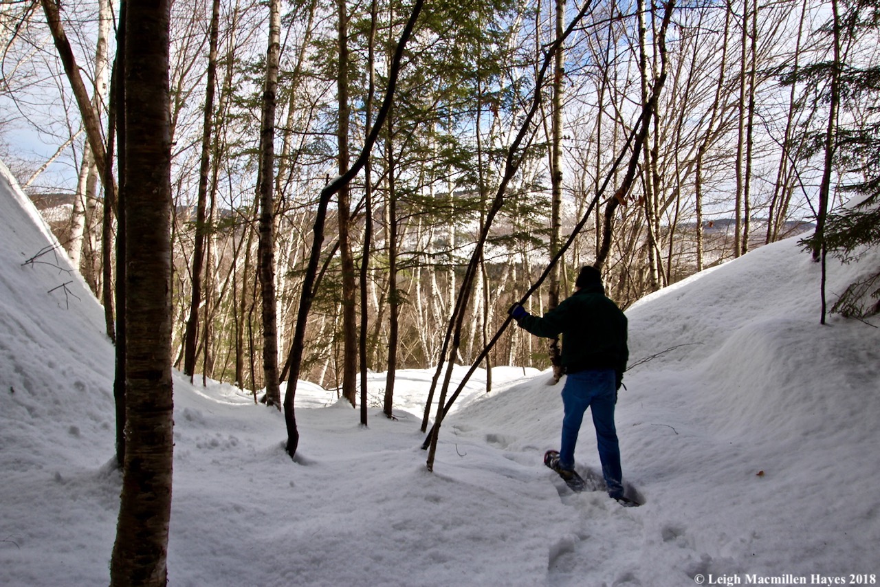
While we were certain that Route 111 in New Hampshire was not going to put us on a flight to England’s Stonehenge, we decided to follow the directions and see where we ended up.

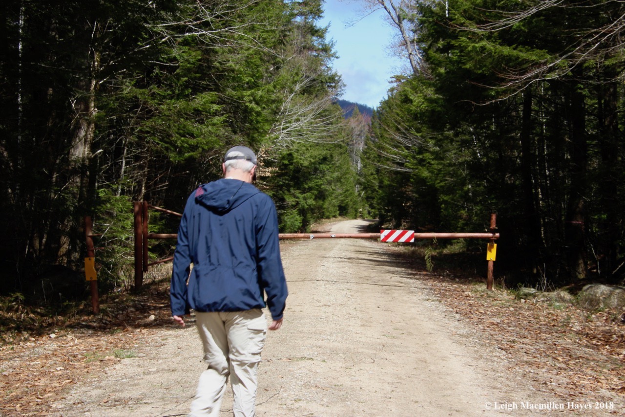
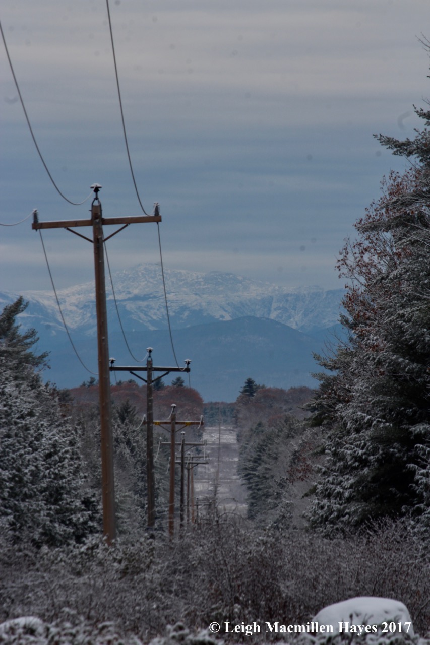
We did note that Team Speedy was ahead of us as we drove south on Route 16, but in Ossipee they turned right onto Route 25. Oops, wrong number, but we weren’t going to tell them that.

Two and a half hours later and BINGO! We’d found our destination.

0-America's Stonehenge sign

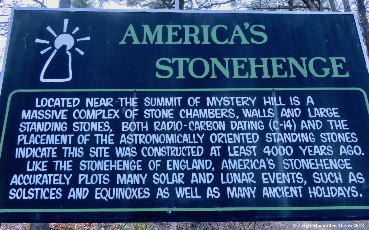
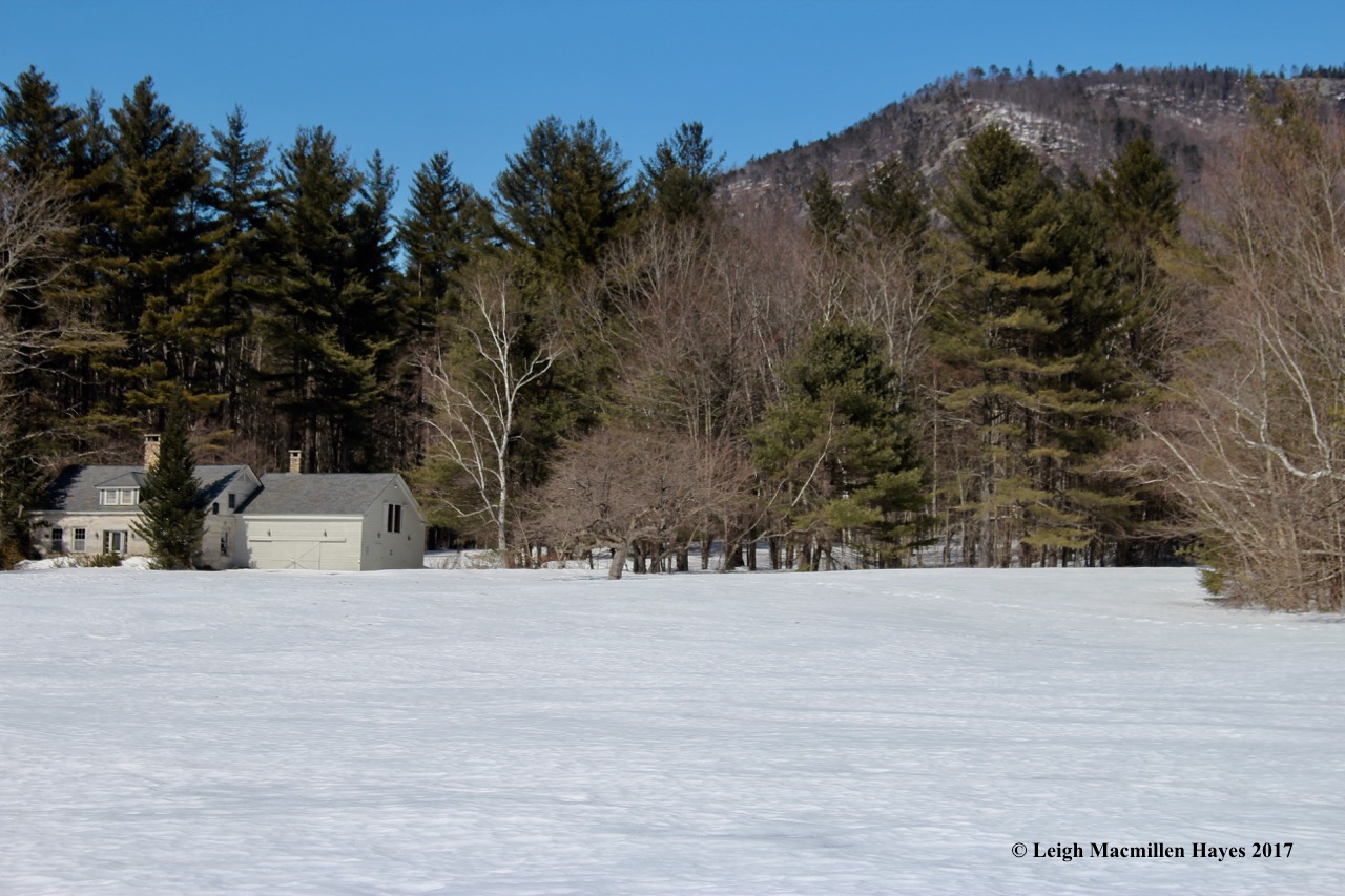
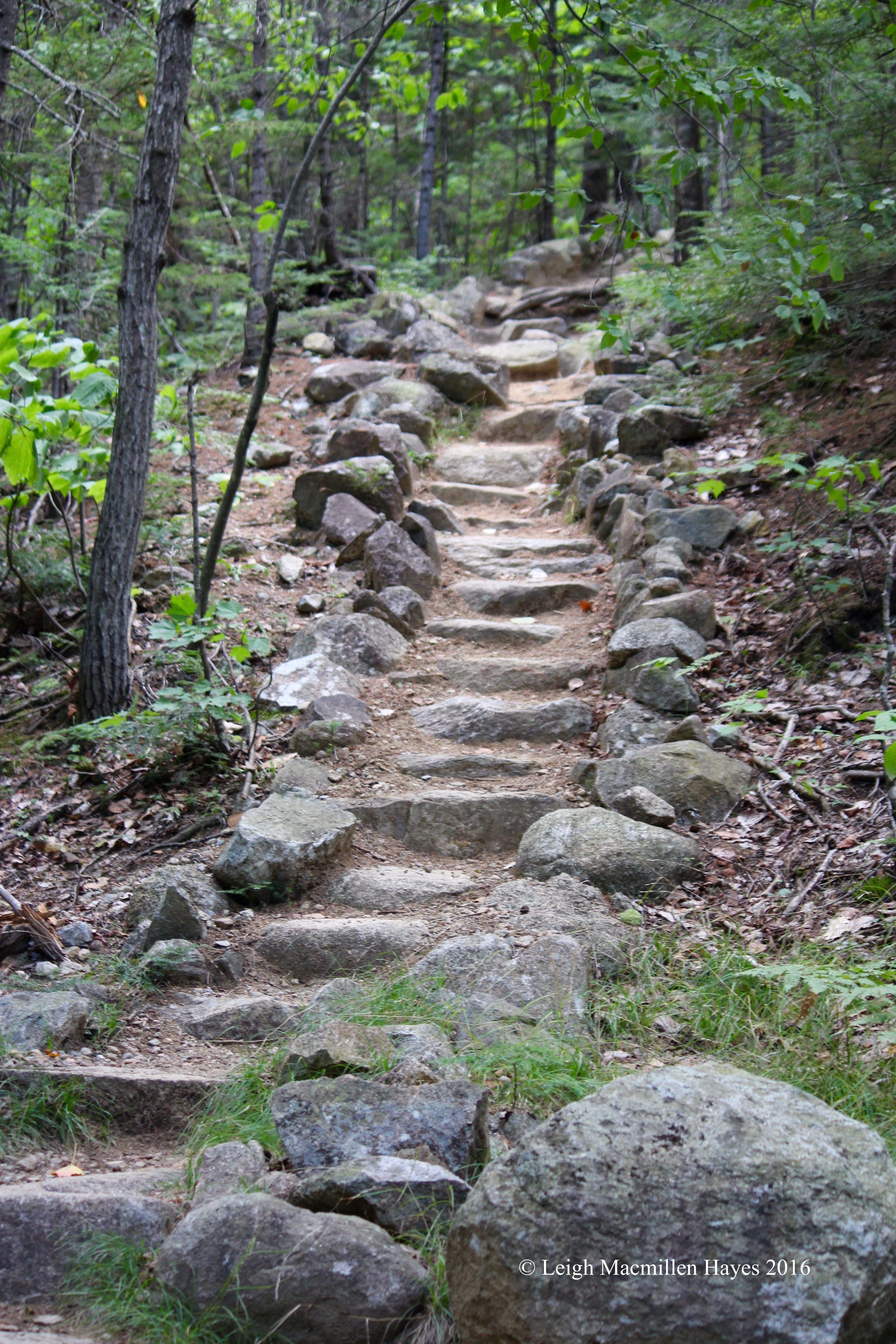
America’s Stonehenge in Salem, New Hampshire. Who knew? I’d lived in New Hampshire for ten years prior to moving to Maine in 1986 and never heard of this place. But . . . apparently the time had come.

We entered and watched a brief introductory film. First named “Mystery Hill Caves,” the name was changed to America’s Stonehenge in 1982 because researchers believed that better reflected their understanding of the site.

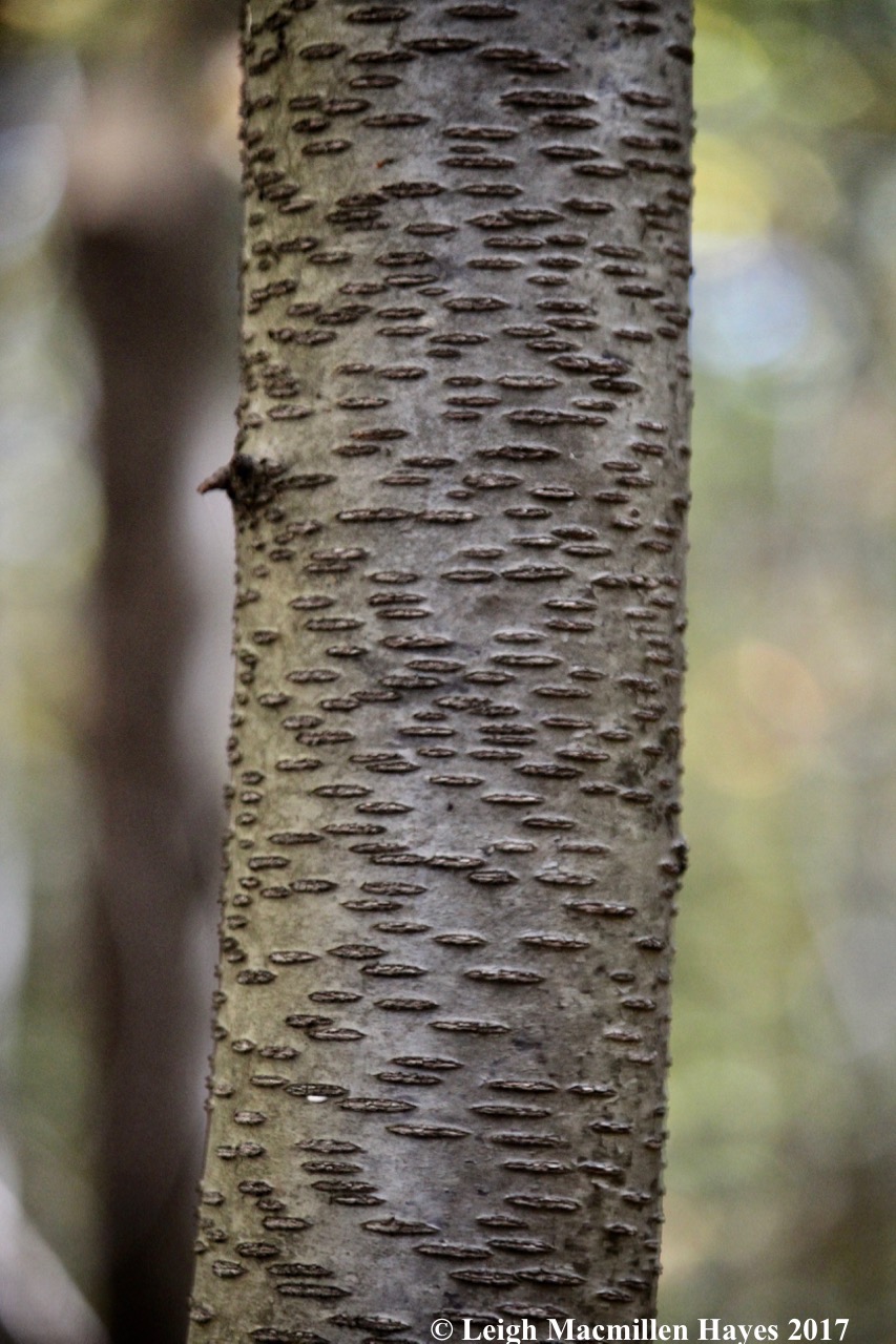
Was it built by a Native American culture or a migrant European population? Who knows? But what we did learn is that carbon dating has helped age some of its features at over 4,000 years old, making it possibly the oldest man-made construction of  chambers, walls and ceremonial meeting places in the United States.

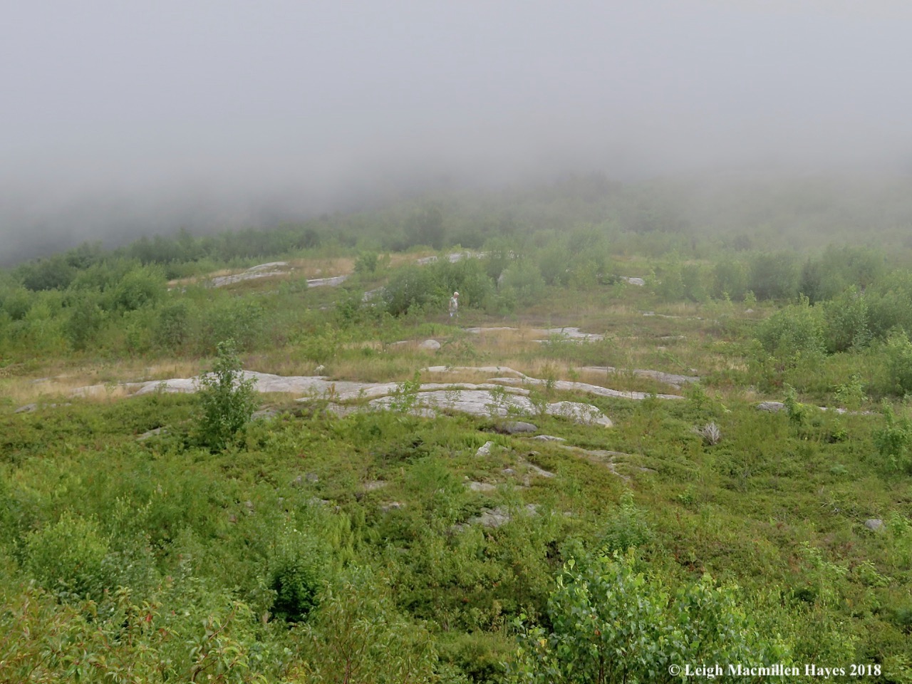
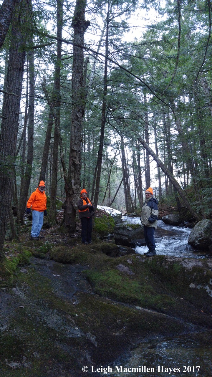
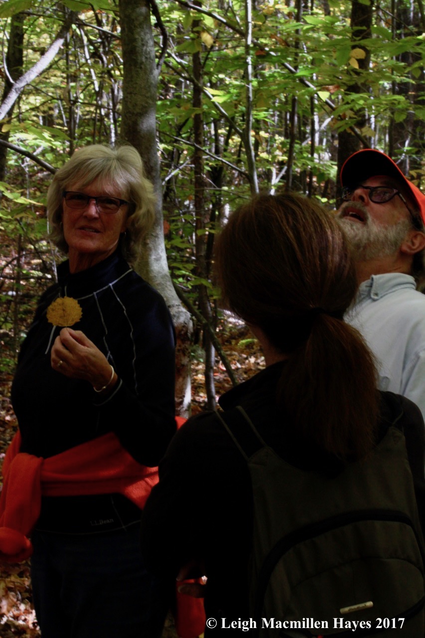
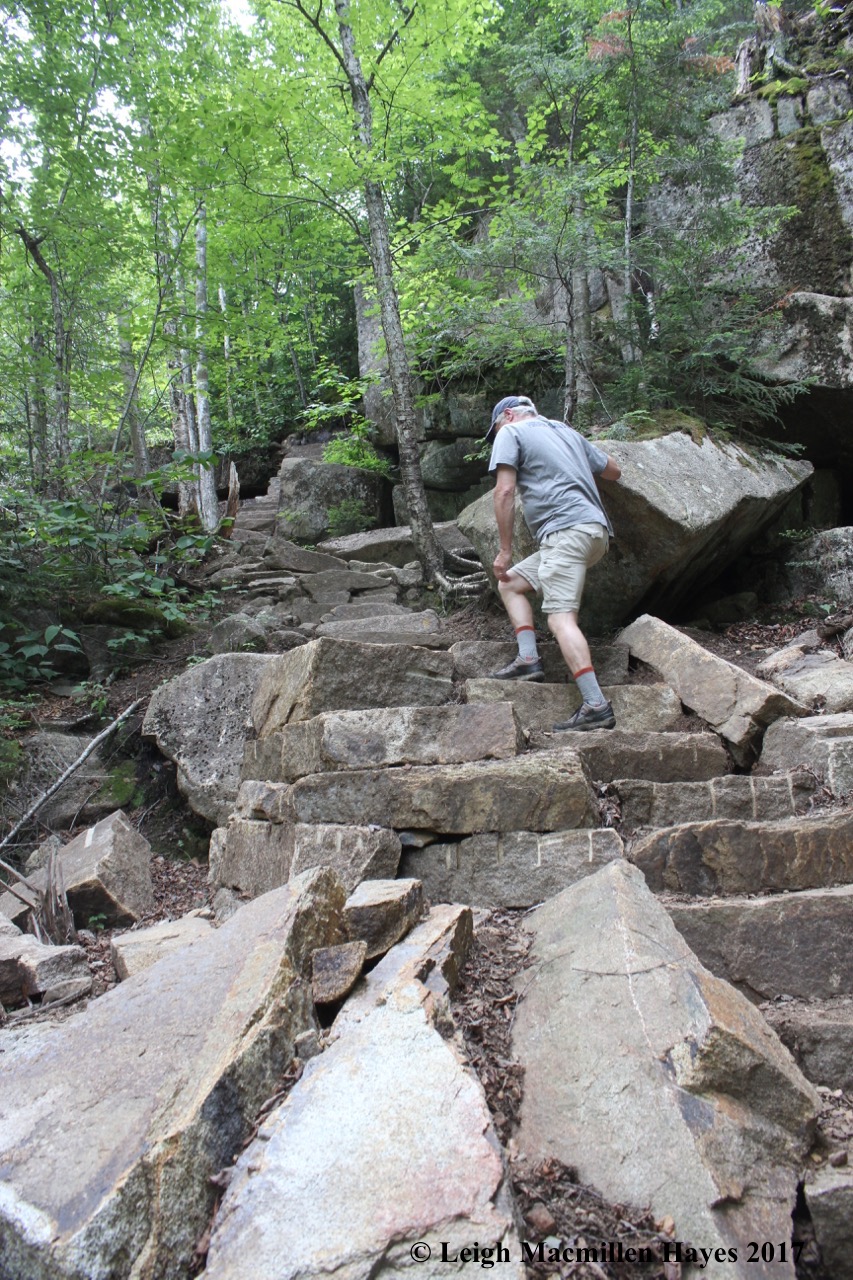
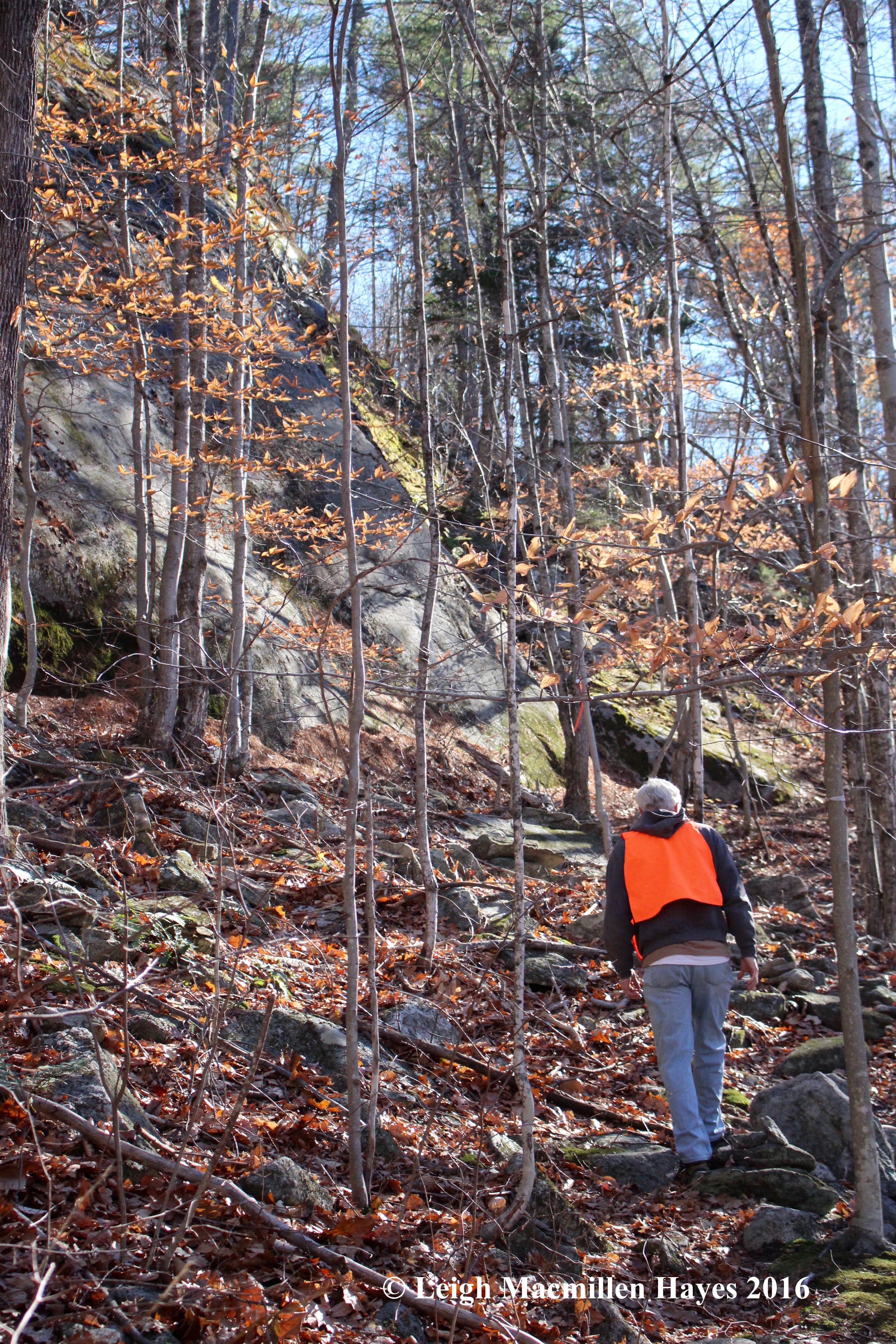
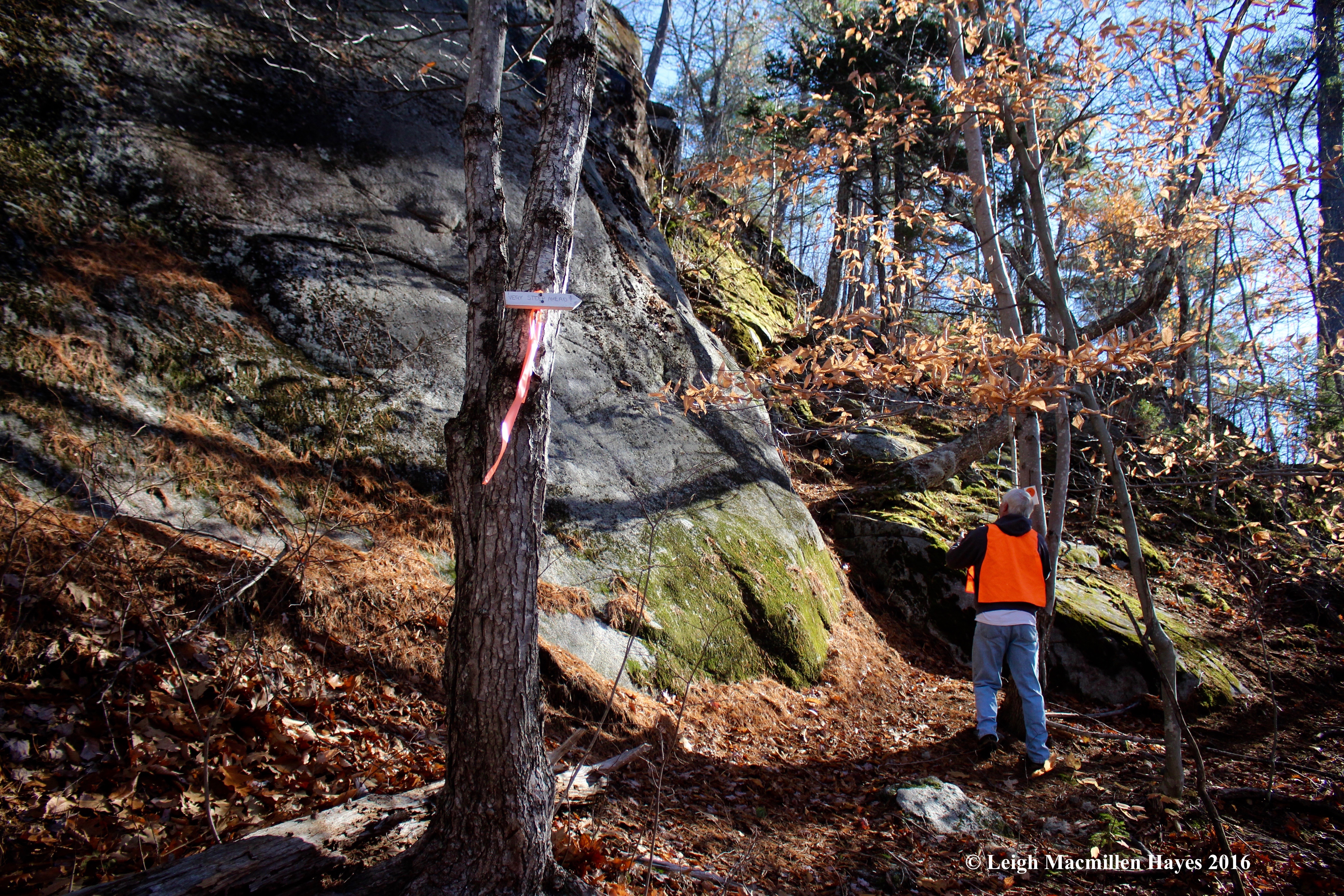
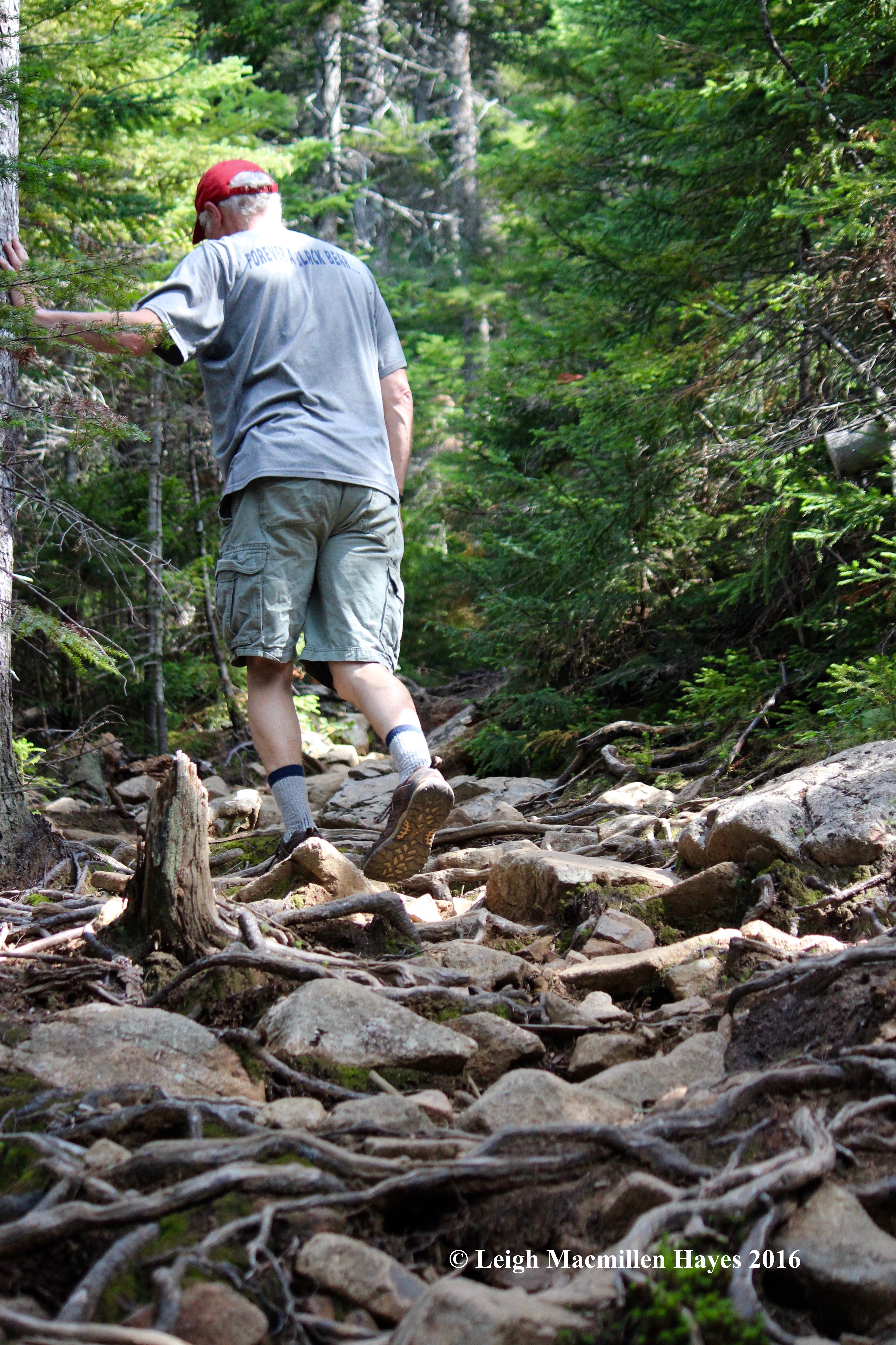
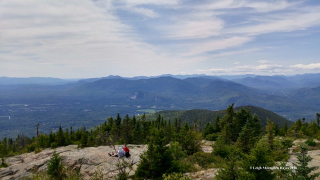
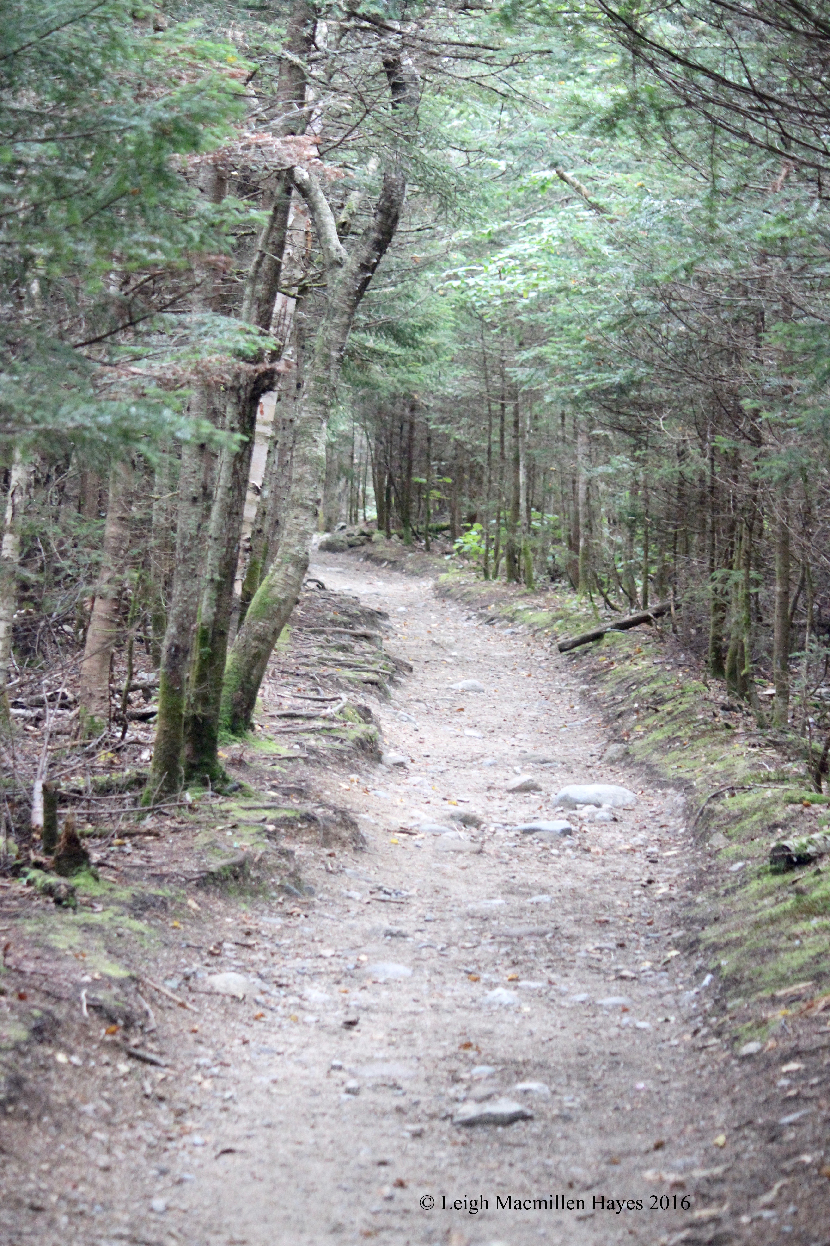
The site has been under continuous research and there are a variety of theories about its origin. Our main challenge was to observe and learn.

1-Sundial

But first, one of us had to determine the time of day. My guy rose to the occasion and placed the pole in the center of the sundial.

2-Sundial 2

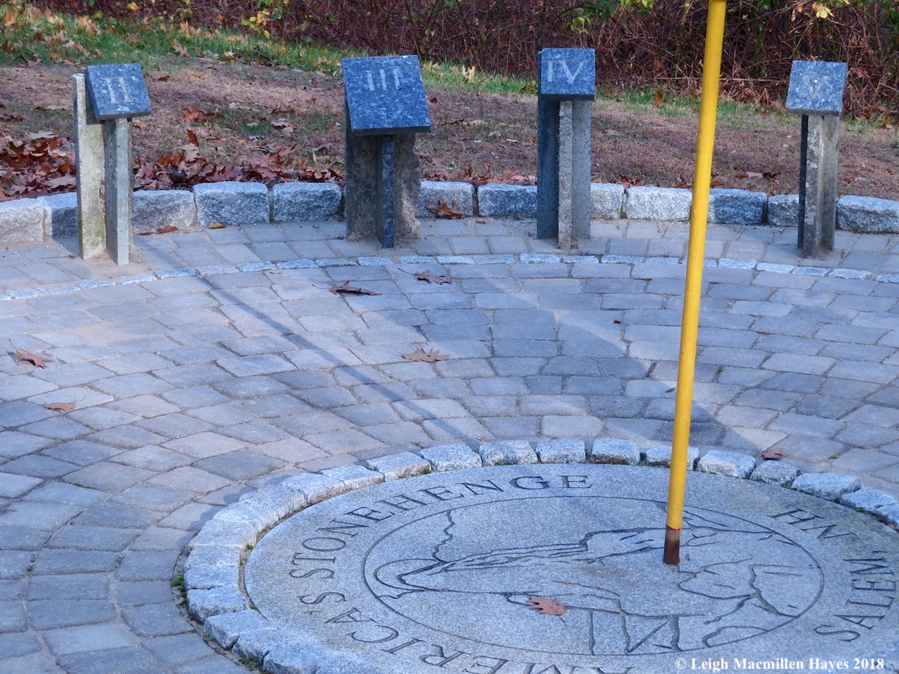
“2:11 pm,” he said. Pretty darn close for it was actually 2:09, but we were told to proceed.

3-Wigwam

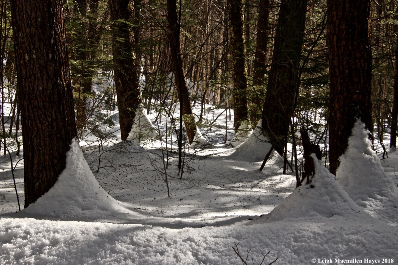
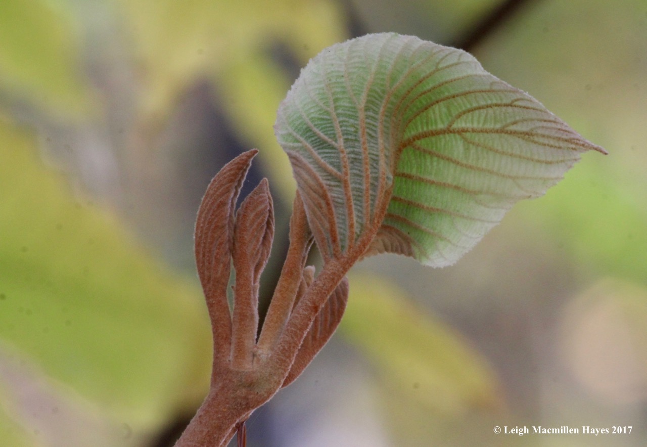
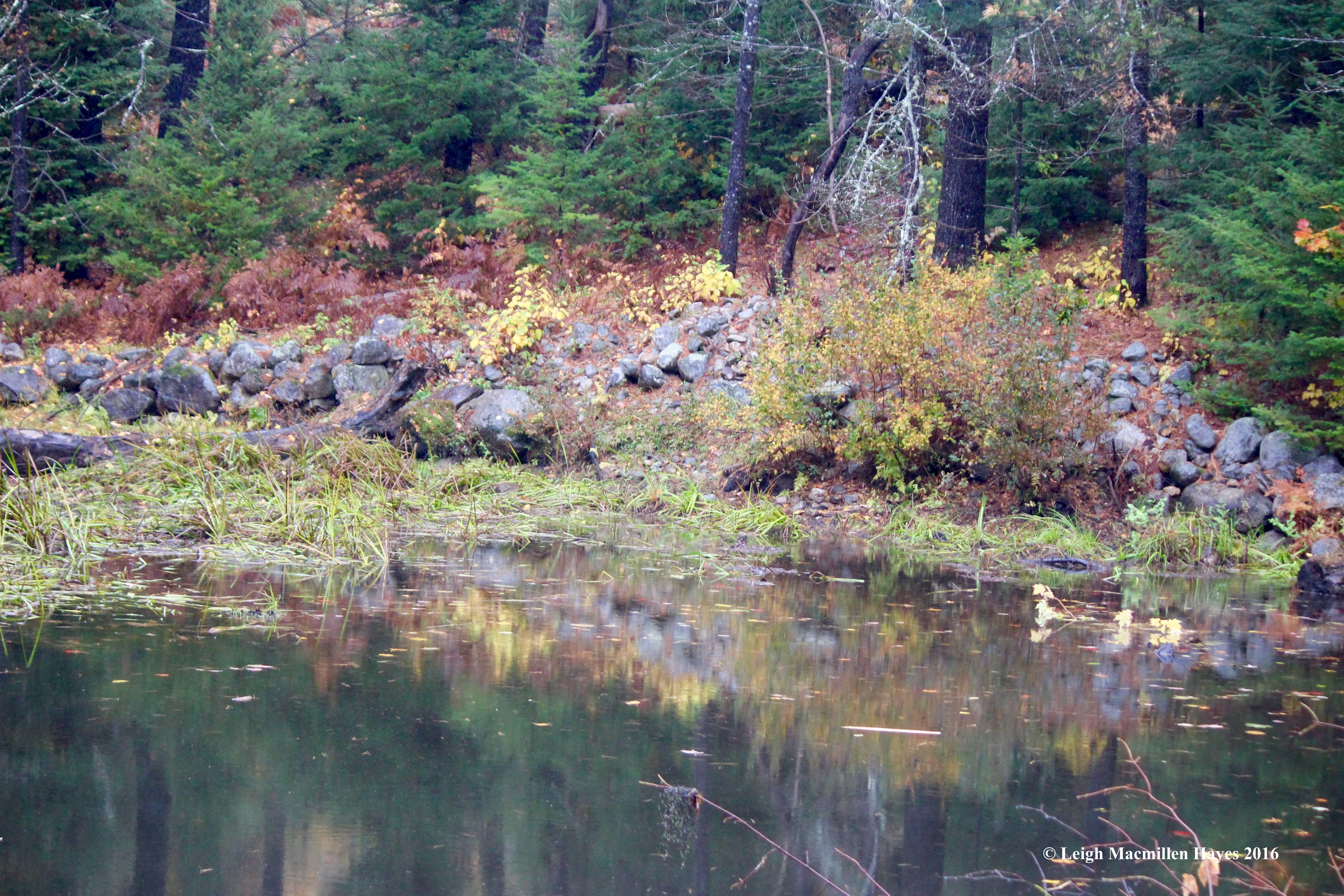
The first part of the journey included a Three Sisters Garden of corn, pole beans, and pumpkins. There’s a replica of a dugout canoe and a wigwam for such were found on the property, plus some pottery and other artifacts.

4-Well of crystals, Pattee Area

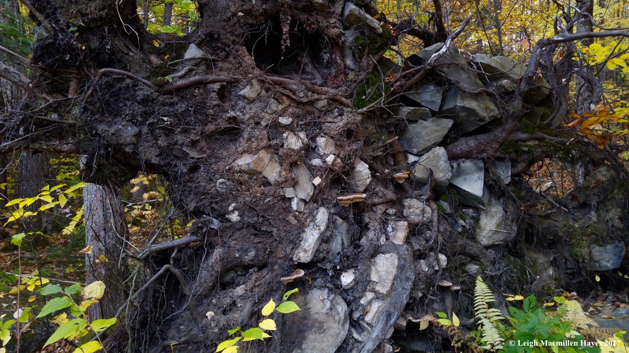
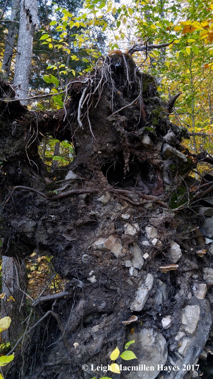
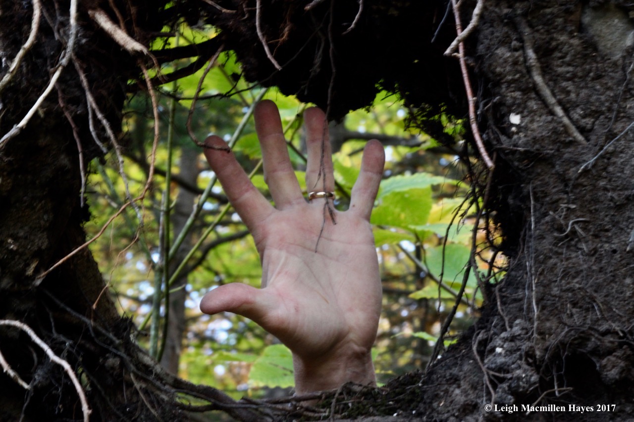
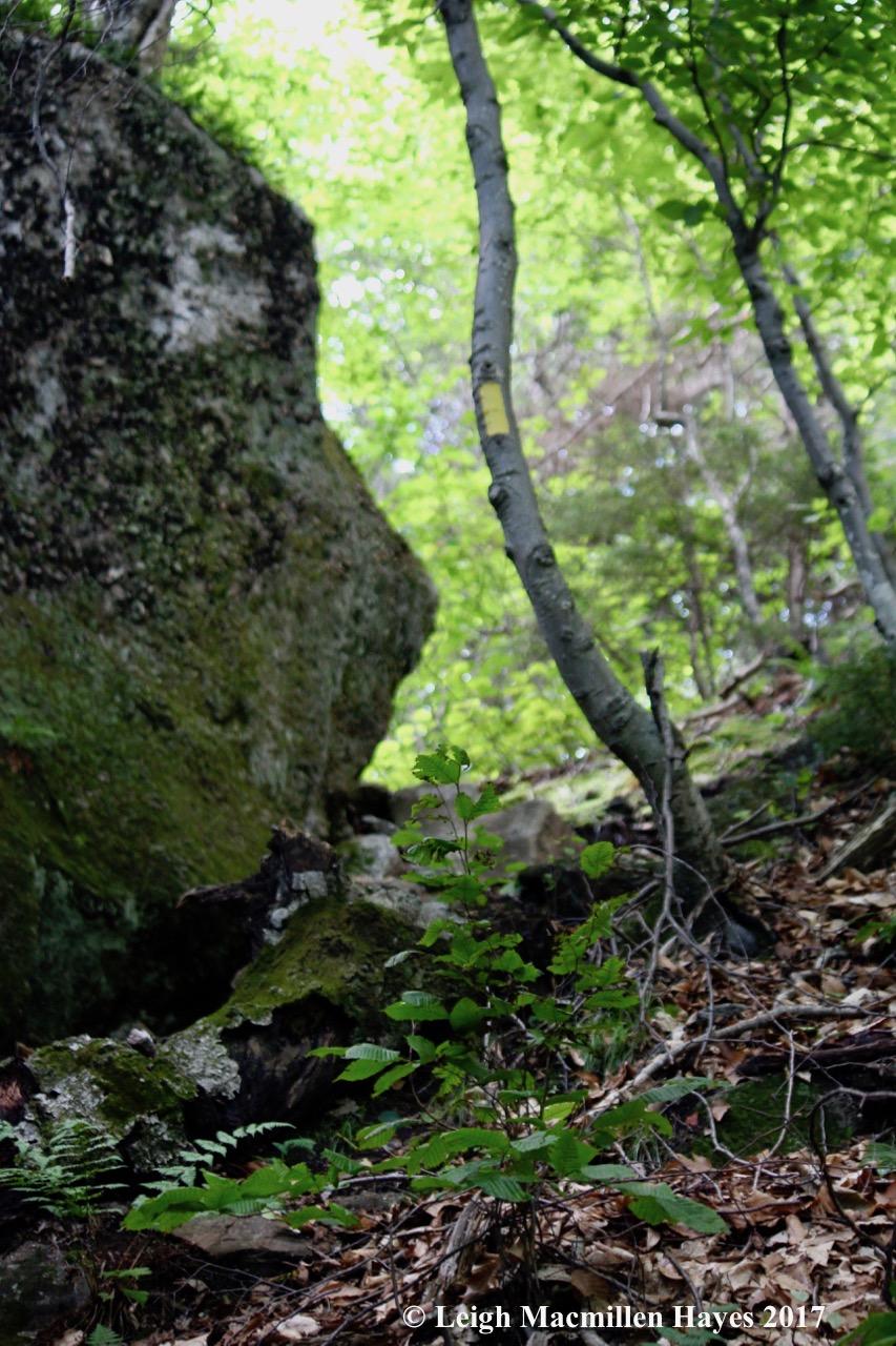
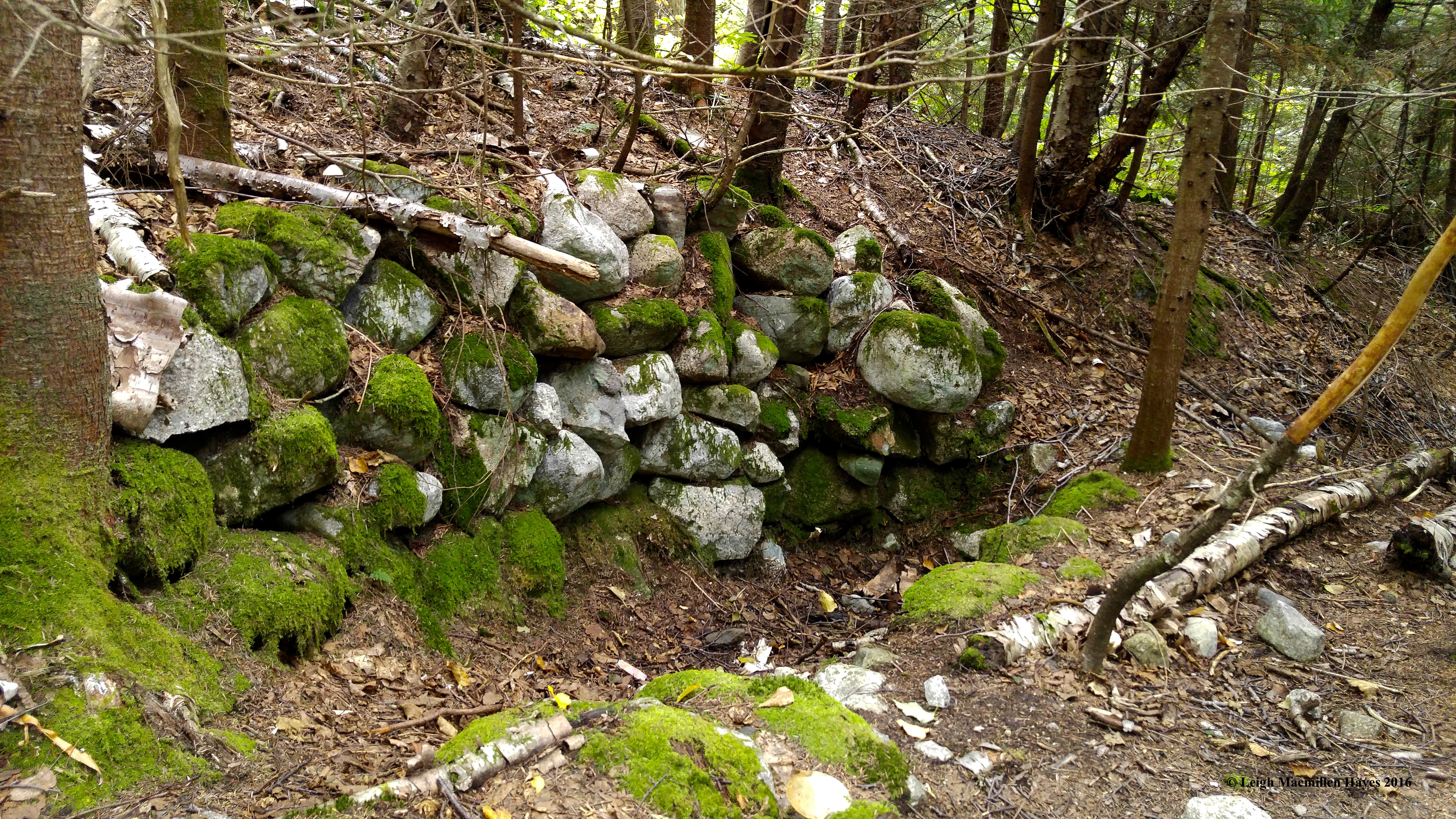
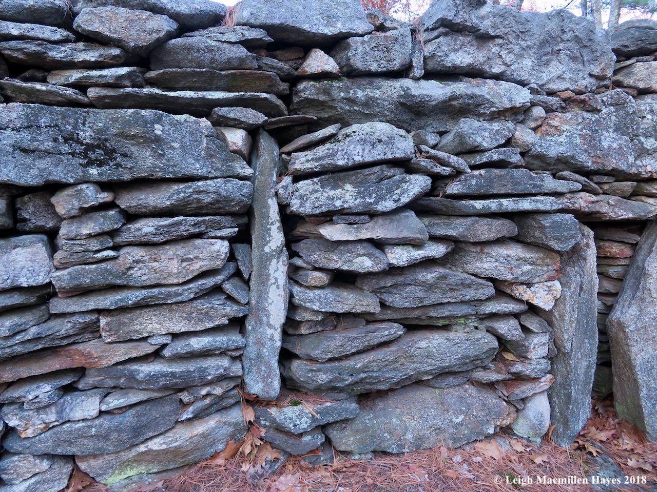
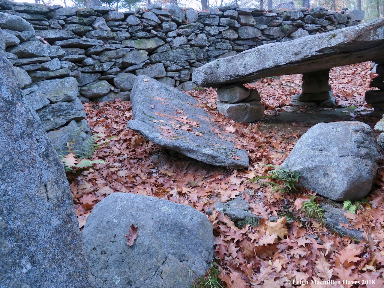
And then we worked our way up the hill and into the maze of chambers. Some referenced astrological events; others were the works of Jonathan Pattee who built a wooden structure upon some of the chambers, but it burned in 1855 and his son later sold off some of the artifacts; and William B. Goodwin, the first researcher to own the property.

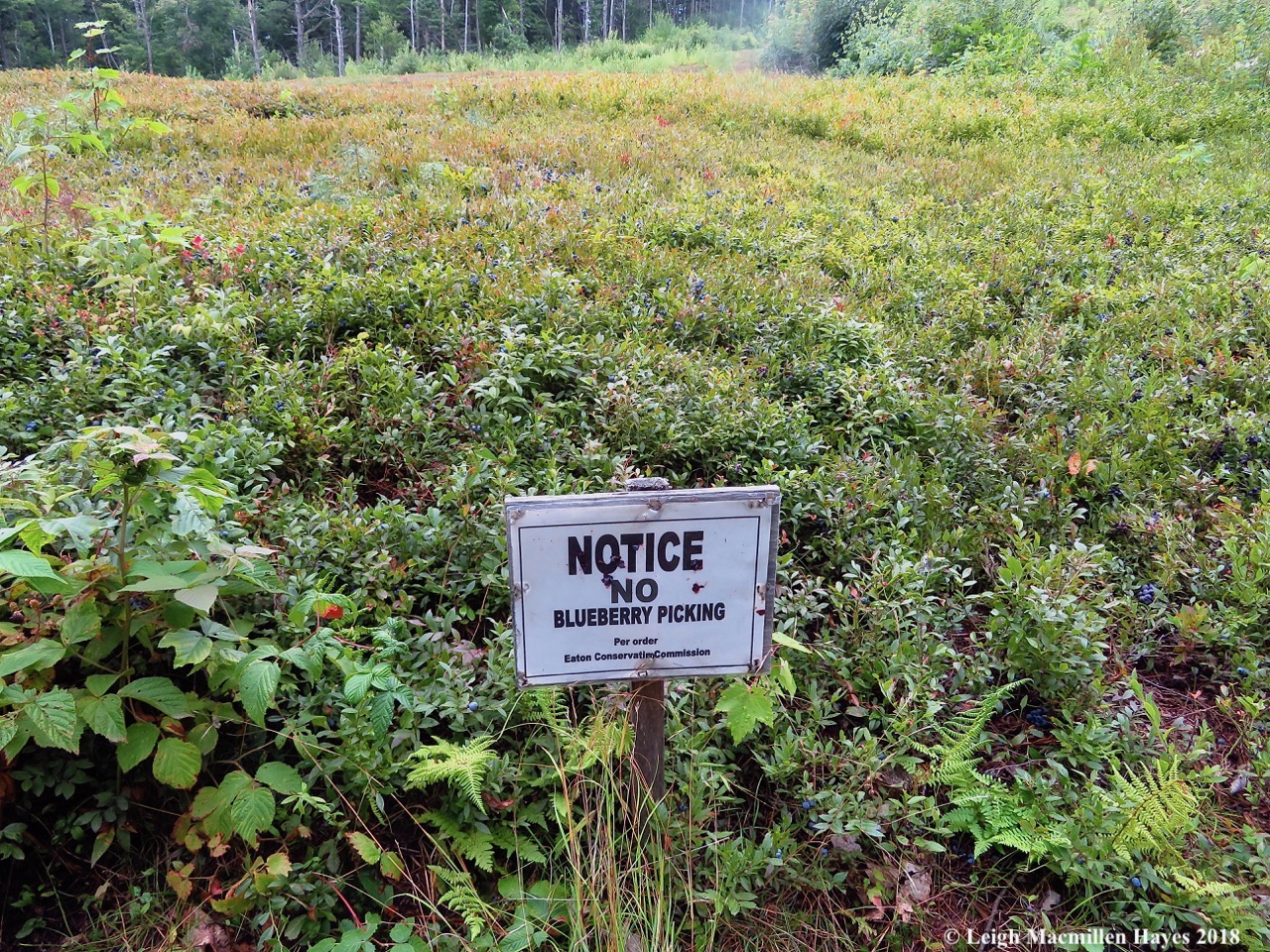
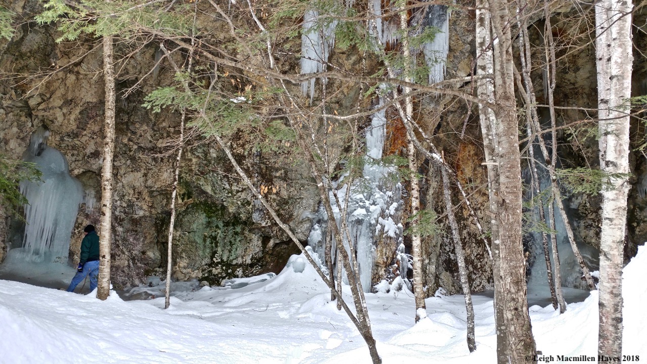
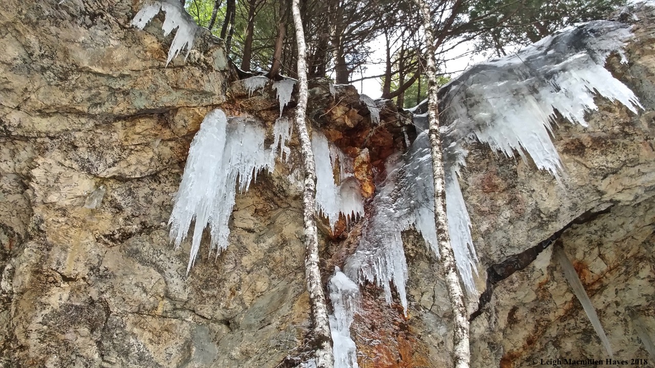
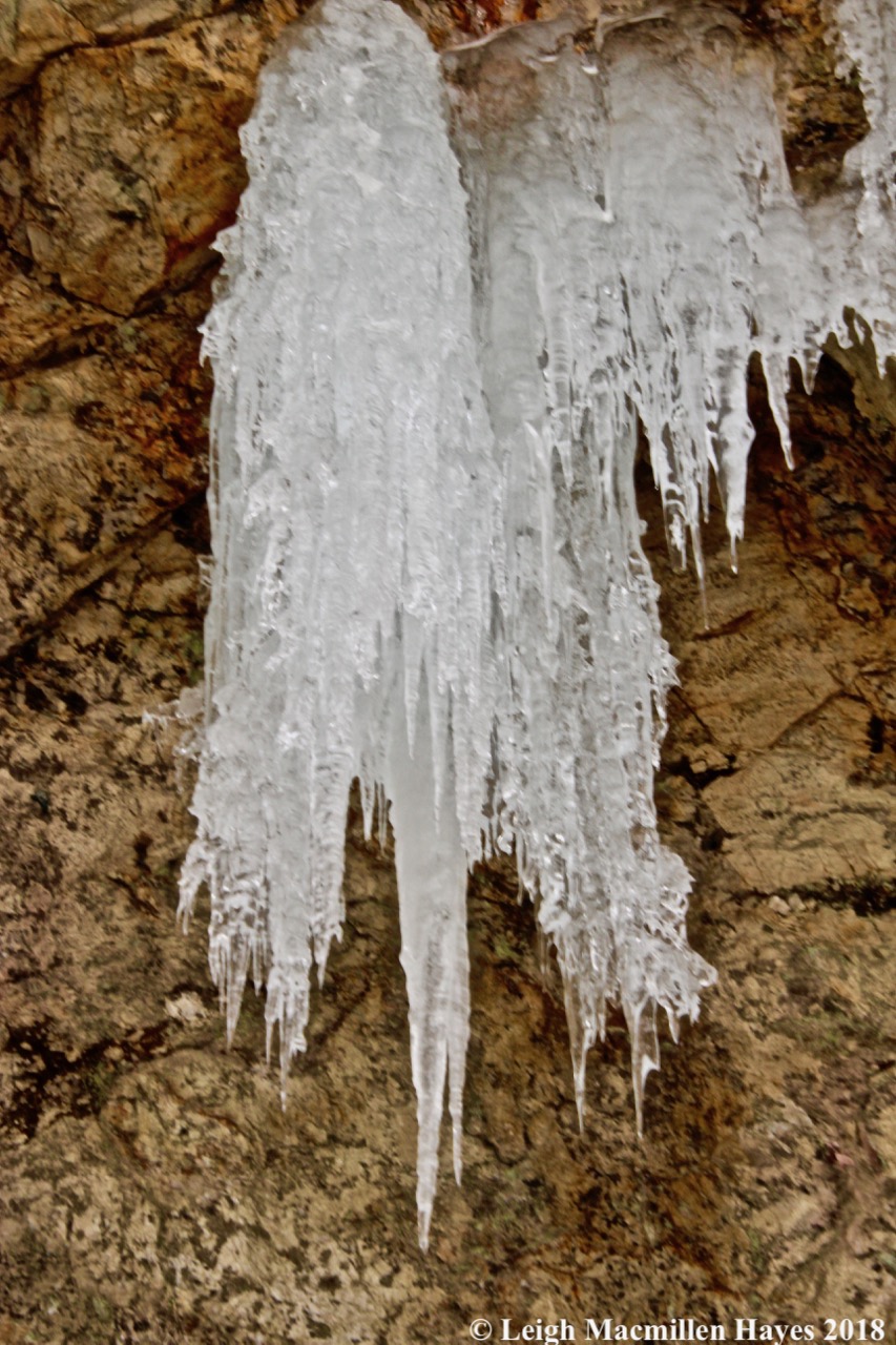
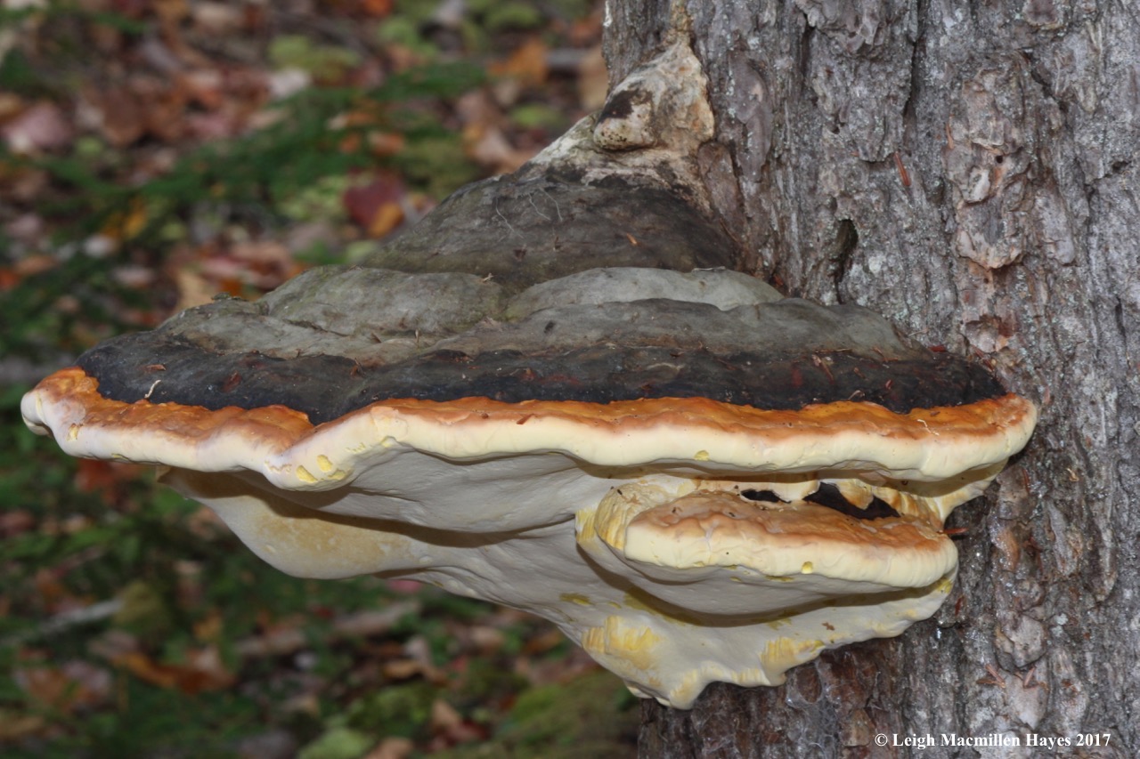
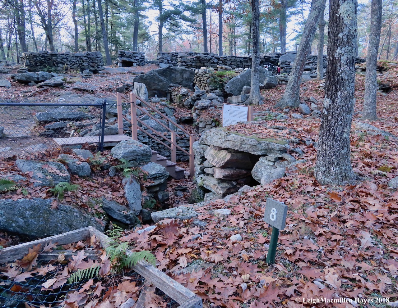
Fortunately for us, many items worth noting were labeled. Number 8 was an Upper Well, also known as the Well of Crystals because excavations in 1963 proved that quartz crystals were found in a vertical fault twenty-two feet below. Such crystals may have been worshipped or used for tools by ancient cultures.

5-Pattee Chamber, root cellar

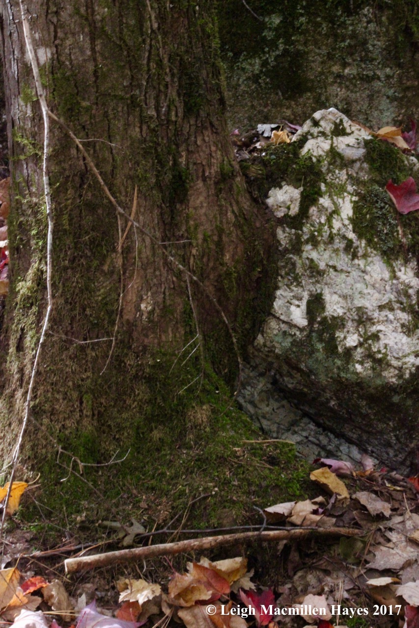
By the well was the Pattee area, and so I ventured down and stood before a chamber that may have served as either his family’s root cellar or at least storage space.

6-Chamber in Ruins

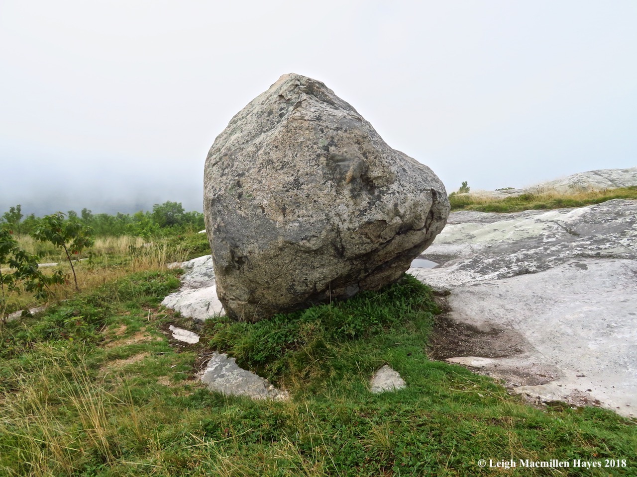
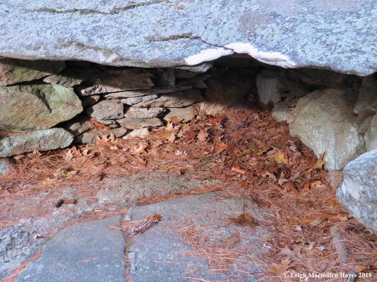
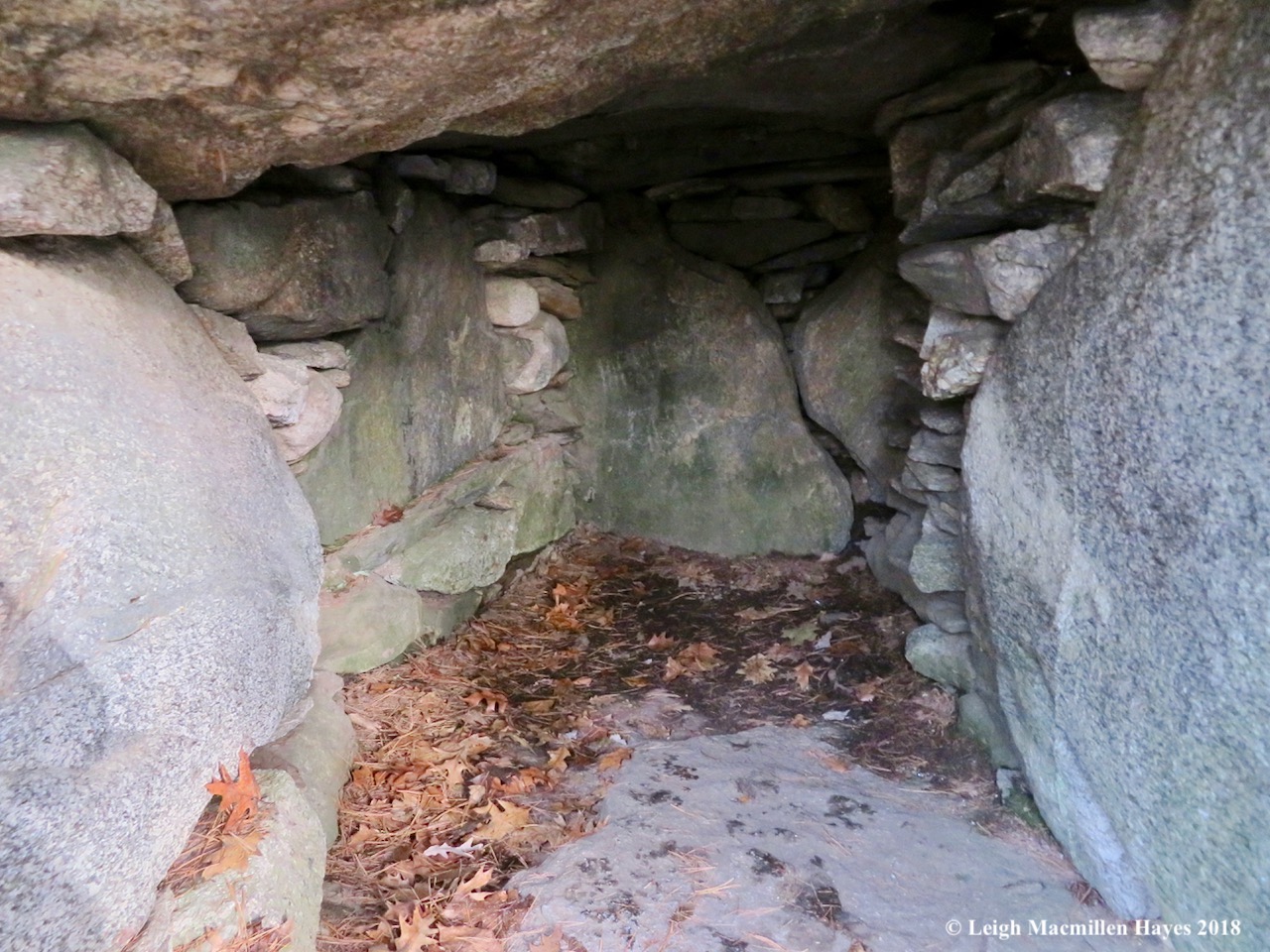
Nearby was a collapsed chamber. The roof slab that now stands upright is estimated to weigh 6.5 tons. And here’s the cool stuff–tree roots near the back wall of the chamber were carbon dated to the late 1690s, indicating the walls were built prior to Mr. Pattee’s residency. Further research indicated the following: “In 1969, charcoal that had sifted into the walls was found below these roots at two to four inches above bedrock and dated to 1400 BC. In 1971, a third and even older date of 2000 BC was obtained.” There’s more, but that’s enough to be mind boggling. BC?

7-True south pointing wall

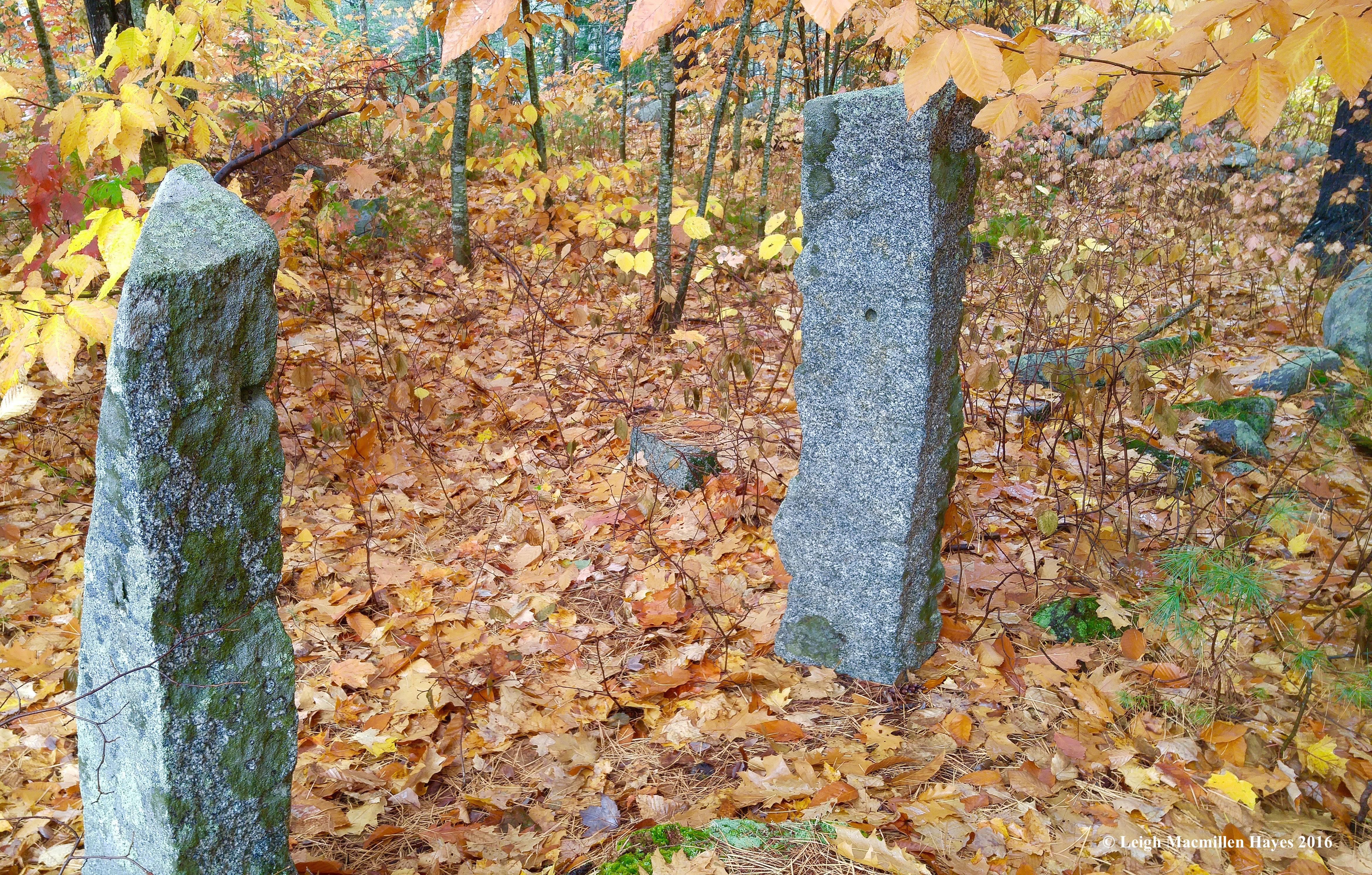
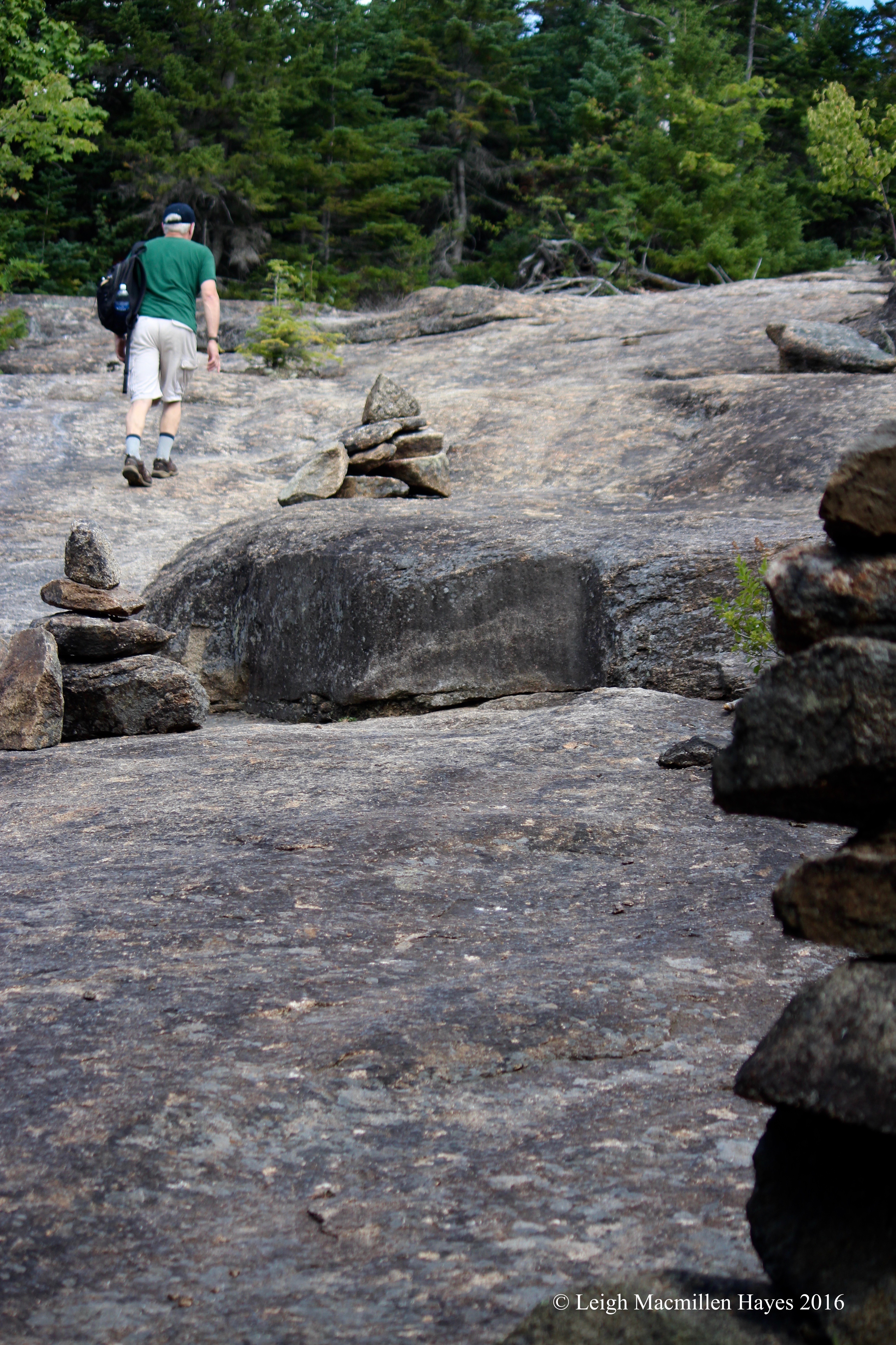
The astrological importance of the site was noted throughout and we found the True South Pointing Wall.

8-south facing chamber

Directly opposite of it was the entrance to a south facing chamber. For me, the curious thing about this chamber was that it was damaged in a 1982 earthquake–and I quickly recalled that quake as I remembered feeling its tremors.

9-The Pulpit

Then there was The Pulpit. It’s believed that quarrymen used this spot as a staging area to load stones onto wagons in the 1800s, thus giving the property another chunk of historical value. It’s also thought that Mr. Goodwin had the upper part of the structure reconstructed by his crew for he believed that the site was built by Irish Culdee Monks.

I have to say that my guy and I weren’t beyond that interpretation for some of the chambers reminded us of Newgrange, a Neolithic passage tomb alleged to be older than Stonehenge and the Great Pyramids. Constructed during the Stone Age, about 5,200 years ago, Newgrange is a large circular mound in Ireland that covers 300 feet in diameter and stands 36 feet high. A stone passageway leads to three small chambers. Some describe it as an ancient temple, a place of astrological, spiritual and ceremonial importance. Hmmm . . .

10-The V Hut

Another interesting chamber from our point of view was the V Hut, so named for its shape. This one reminded us of the Mystery Structure in Lovell, Maine, for part of it forms a similar sort of V shape.

11-East-West Chamber

Throughout the journey, our focus was brought back to orientation of chamber openings. So the curious thing about this particular one and the one opposite of it–they had an east-west orientation. All other openings faced south.

12-Wqll restoration

The outer wall of the East-West Chamber offered a different look than any we’d previously seen. Using photographs from the Goodwin era, the outer walls were restored in the late 1970s.

14-Wall and pathway to Oracle Chamber

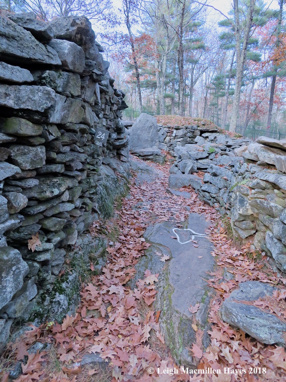
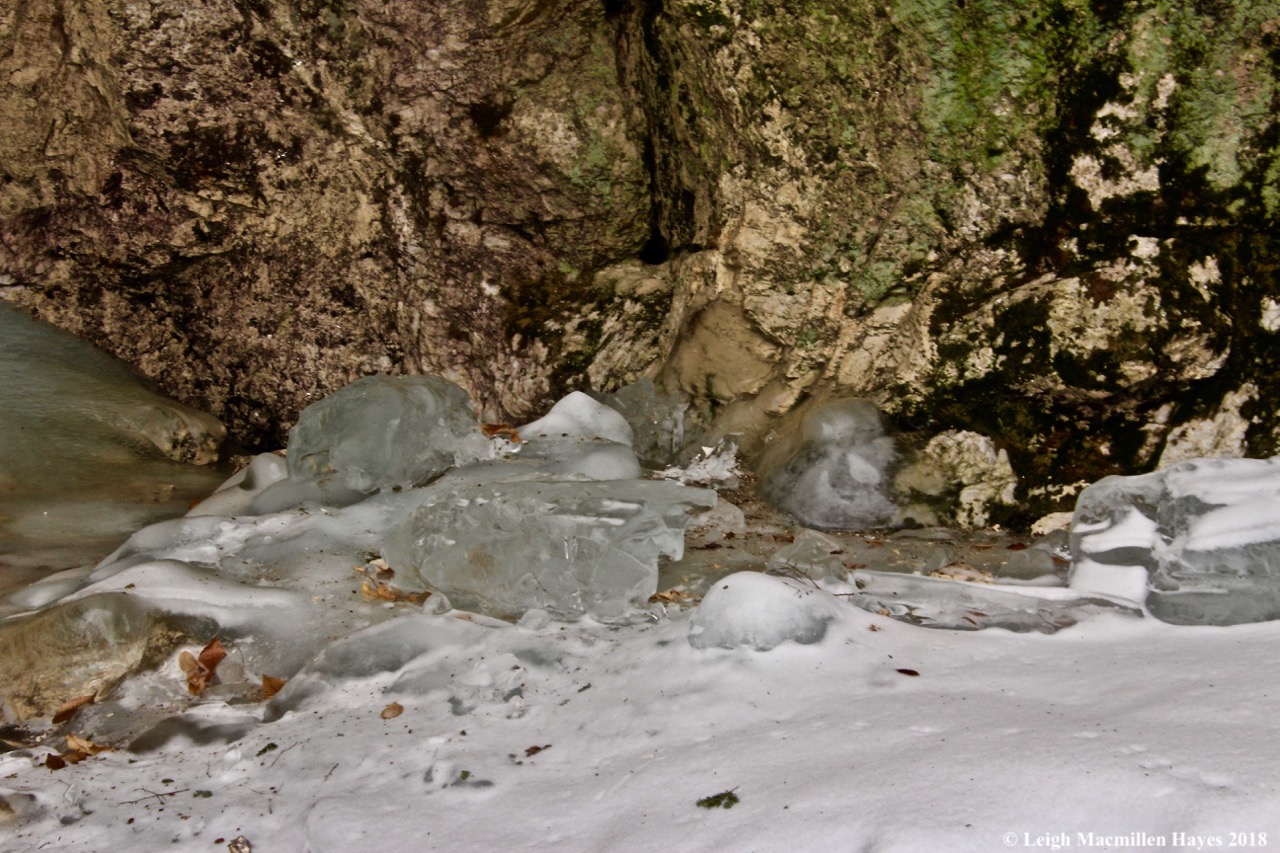
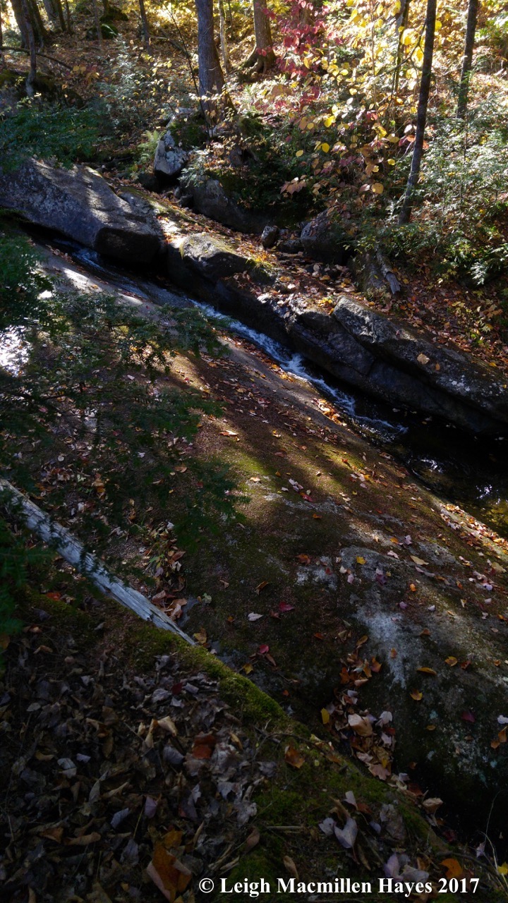
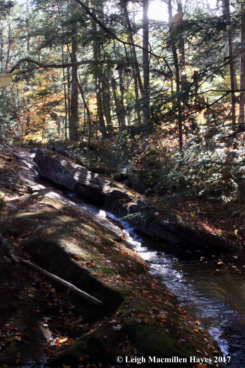
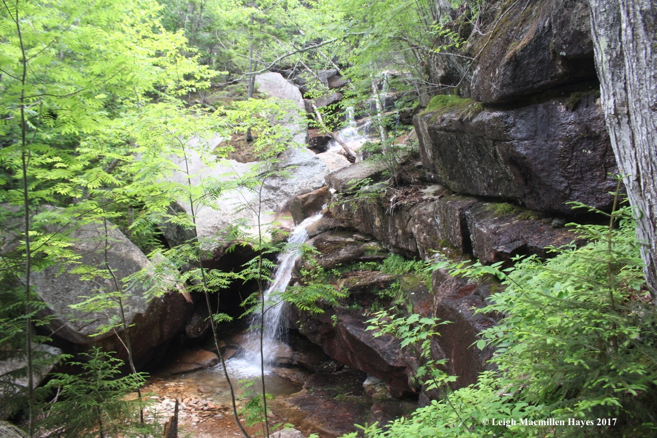
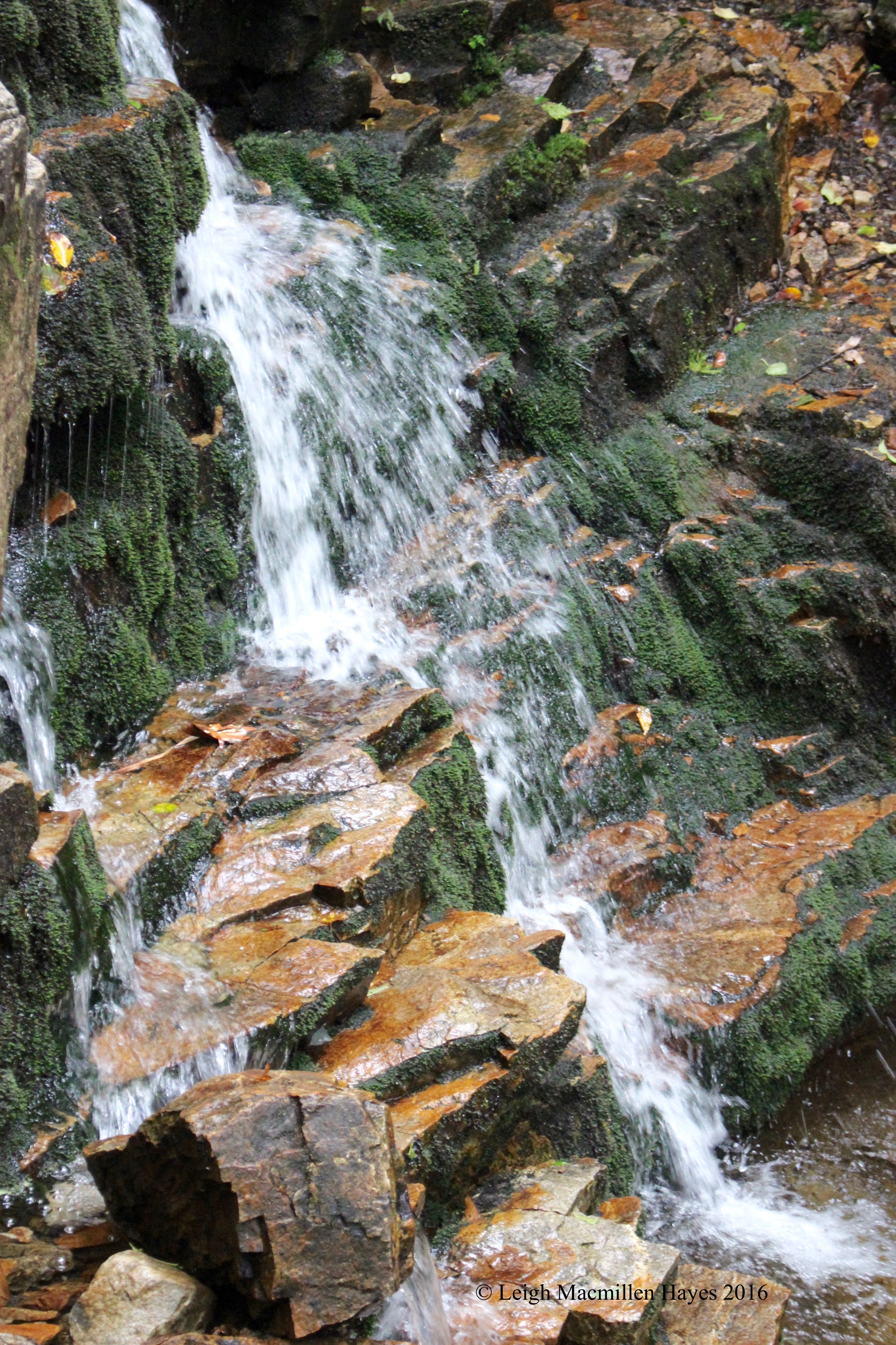
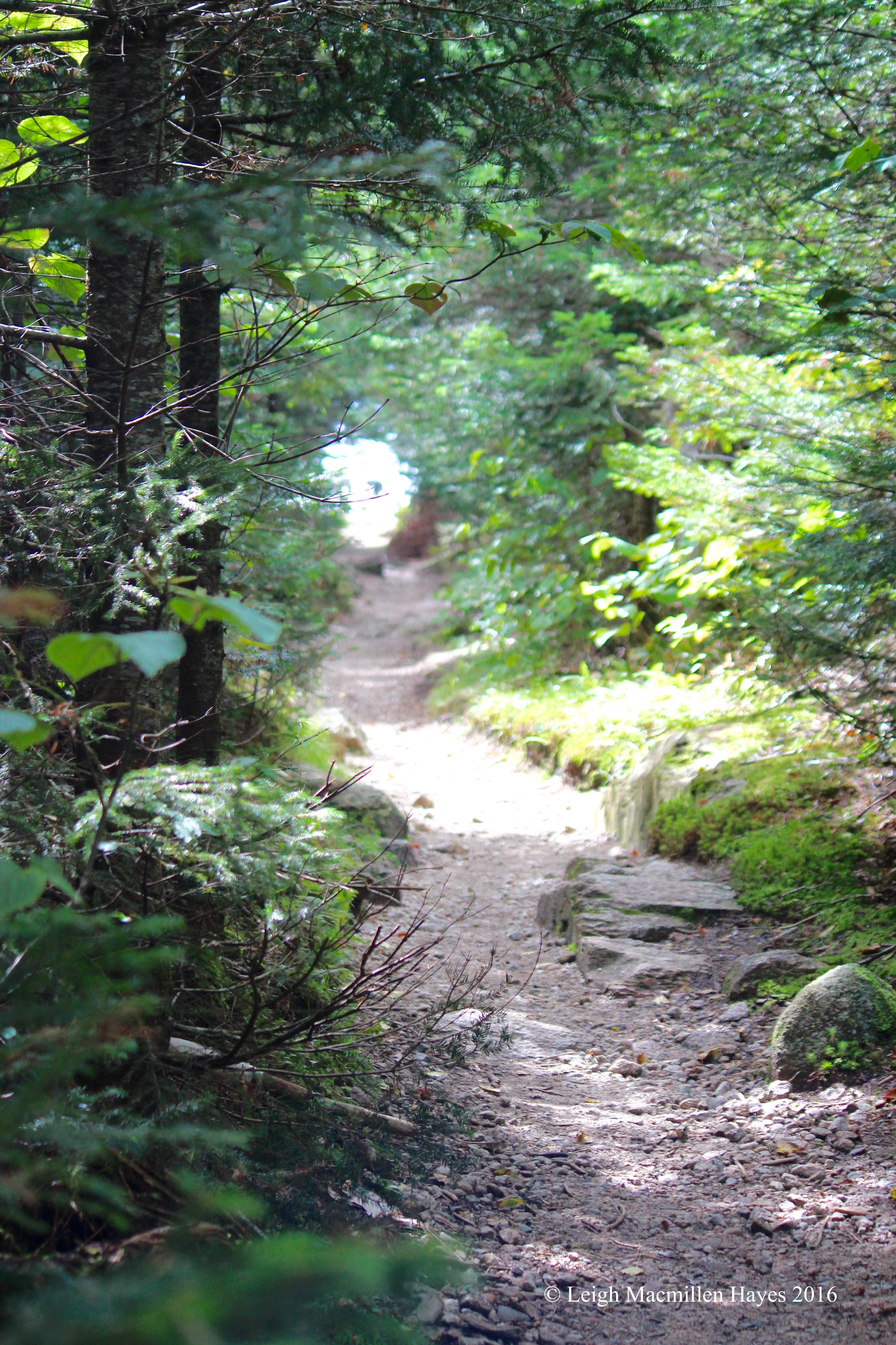
They led to a wonder-filled pathway. Do note the white paint–that was used throughout to feature key points. Though I thought it ghastly, it did serve its purpose and the drawing you see on the bedrock was part of a very important drainage system. Curiously, the area was well drained, but when we later walked surrounding trails we had to work around water obstacles–why can’t we figure out today how to make the water move in an effective fashion?

15-Drill marks and wedge marks

The pathway we were traveling led to the Oracle Chamber. And then there was more white paint. But, take notice. The U-shape above was painted around drill marks probably made by those 1800s quarrymen as they broke off slabs.

But it’s the Vs that were of even more interest.

16-Wedge mark

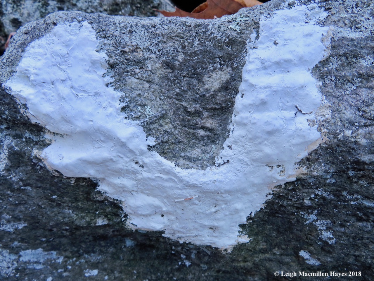
The V wedges were similar to those found at ancient sites in Europe we were told. Before the invention of the steel drill in the early 1800s, stone masons apparently made these V wedges.

17-Sundeck with orbs

Now all oracles need a sundeck and lo and behold, such existed. As we admired it, a few orbs did the same and we had to wonder about the ghosts living among the rocks. They certainly had stories to tell.

18-Oracle Chamber

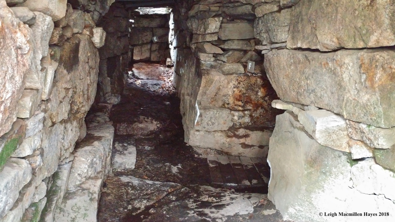
The Oracle Chamber was known to be the most important area with a variety of features including an upper drain, secret bed, speaking tube, roof opening (see the sunlight coming through at the end of the chamber?), seat, closet, and deer carving. It was actually rather dark and we could locate some of the features, but never saw the deer carving, which would have been a treat.

20-Sacrificial Table

Before we’d entered the Oracle Chamber, we’d viewed one of several tables within the complex.

21-Sacrificial Table 2

But it wasn’t until we were standing above it that it made more sense. The Sacrificial Table was a 4.5 ton slab with a grooved channel. Its a point of controversy for the site, but some believe that because of its size it was used for sacrifices. The oracle had a speaking tube in his chamber located directly beneath it that adds to the assumption.

16a-if lichens and mosses could talk

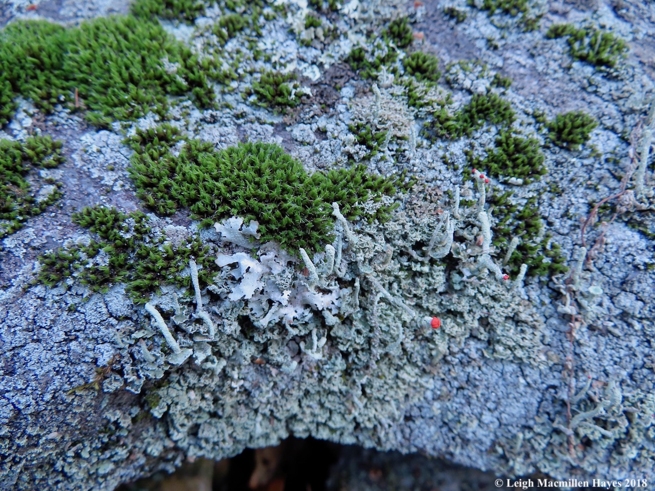
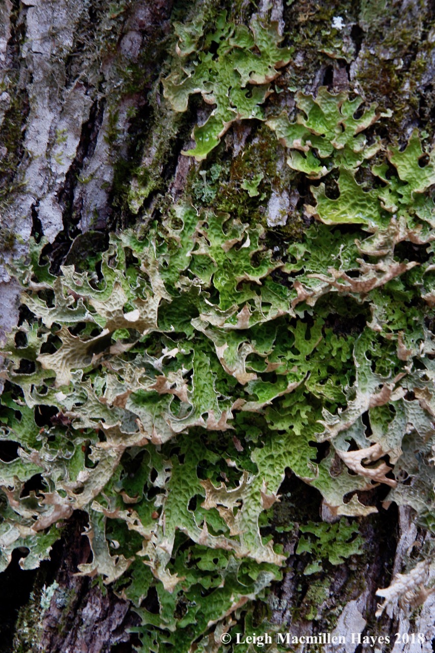
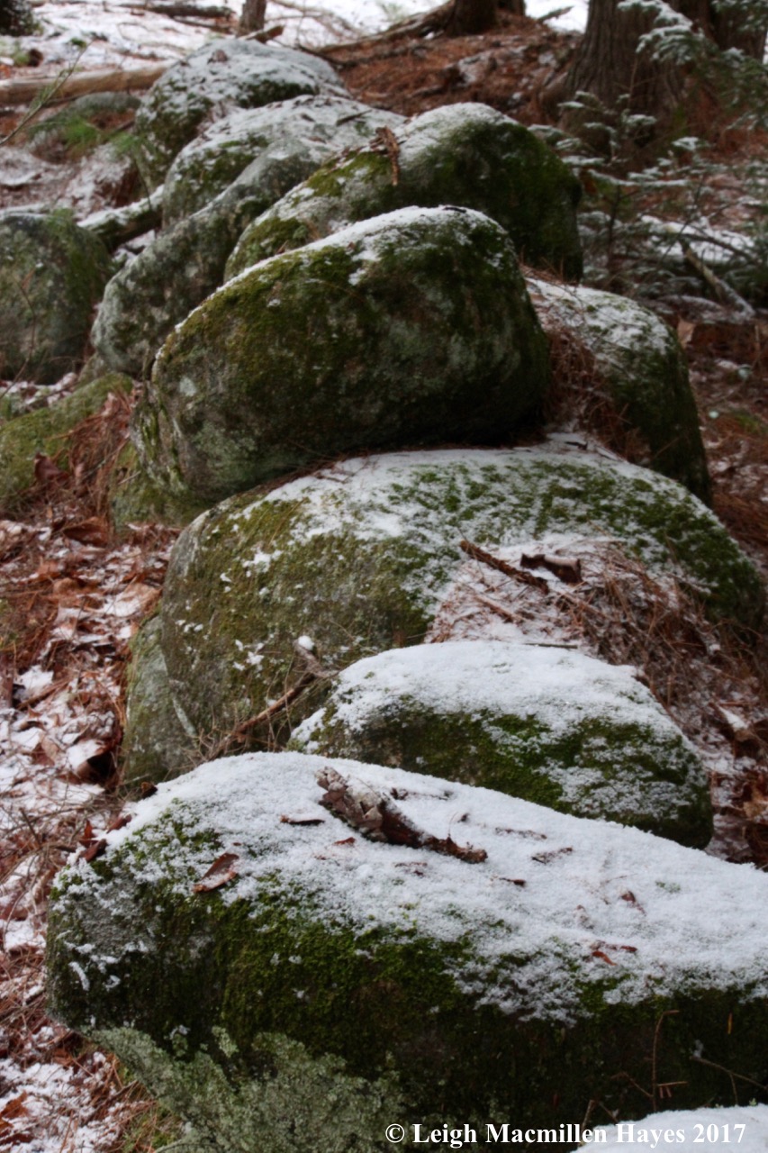
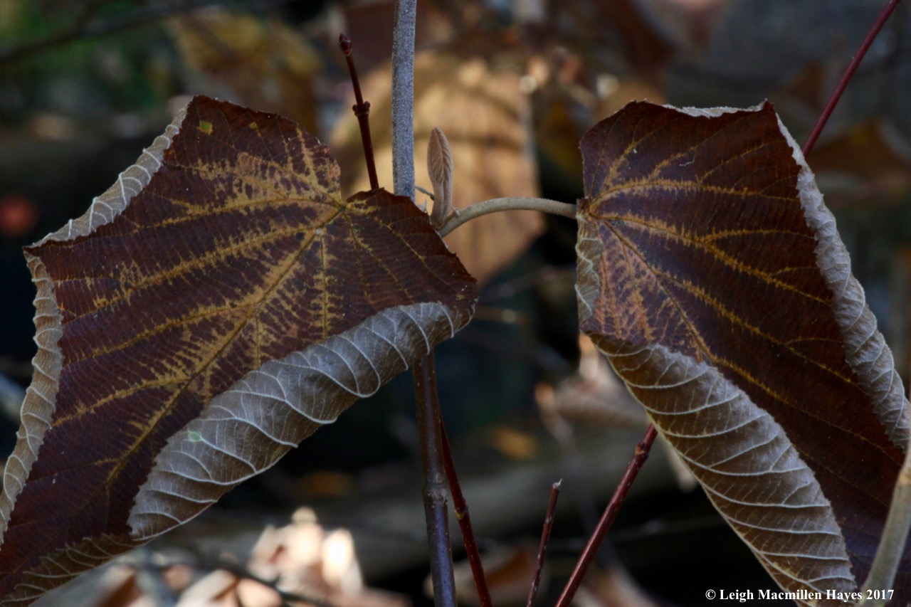
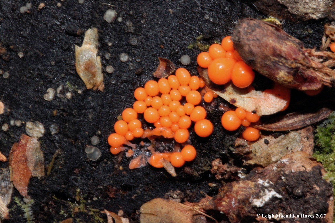
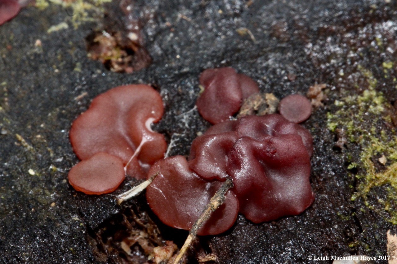
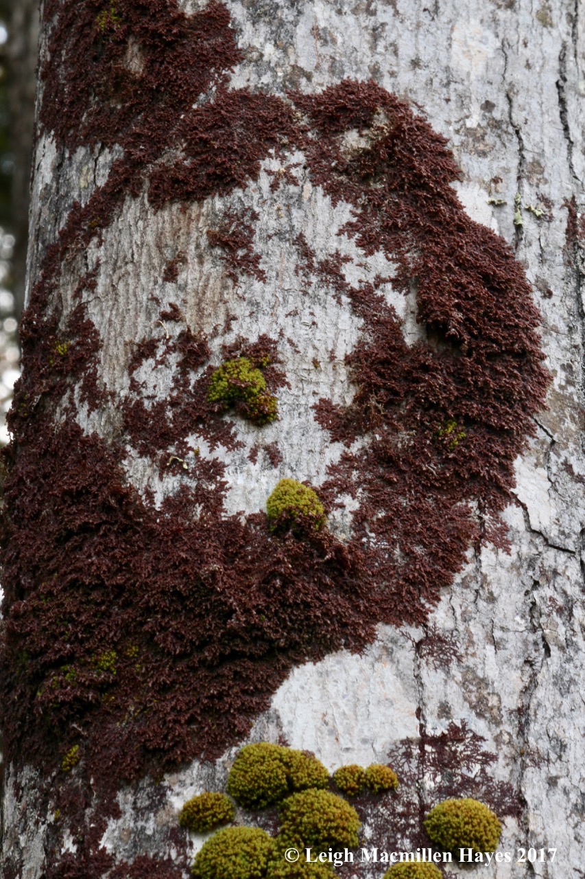
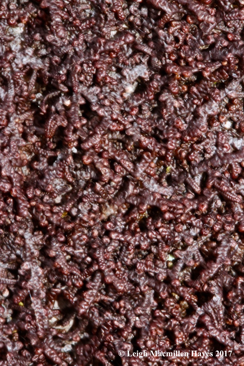
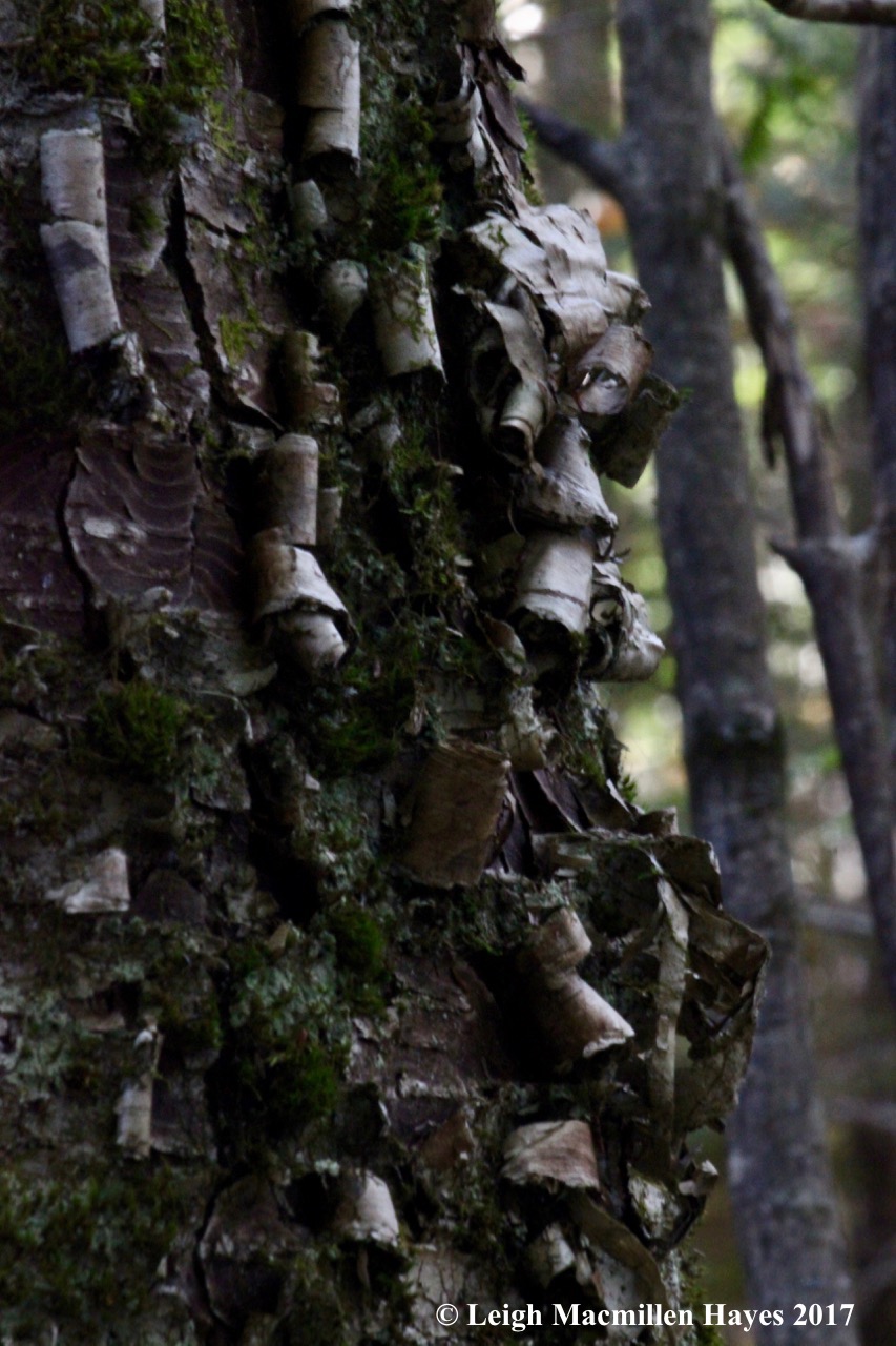
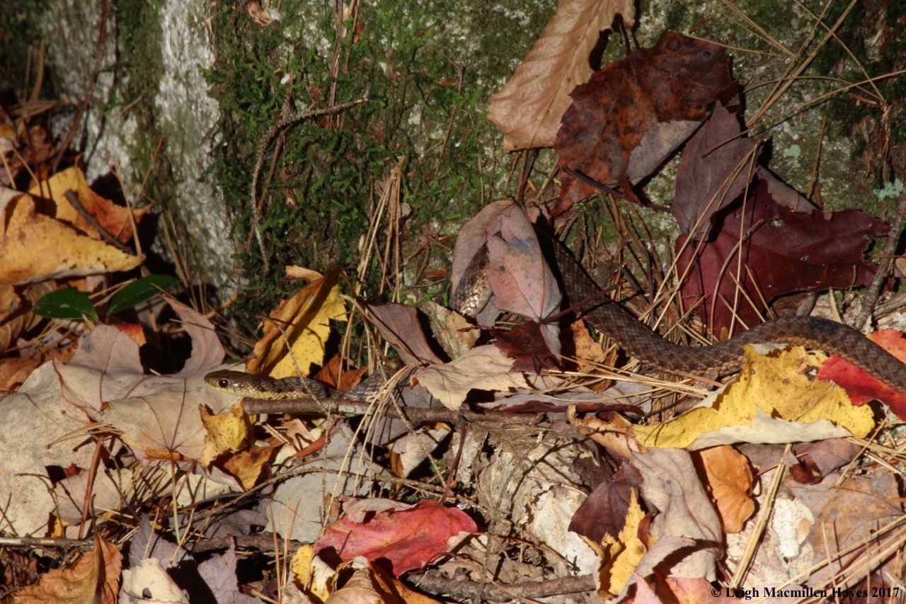
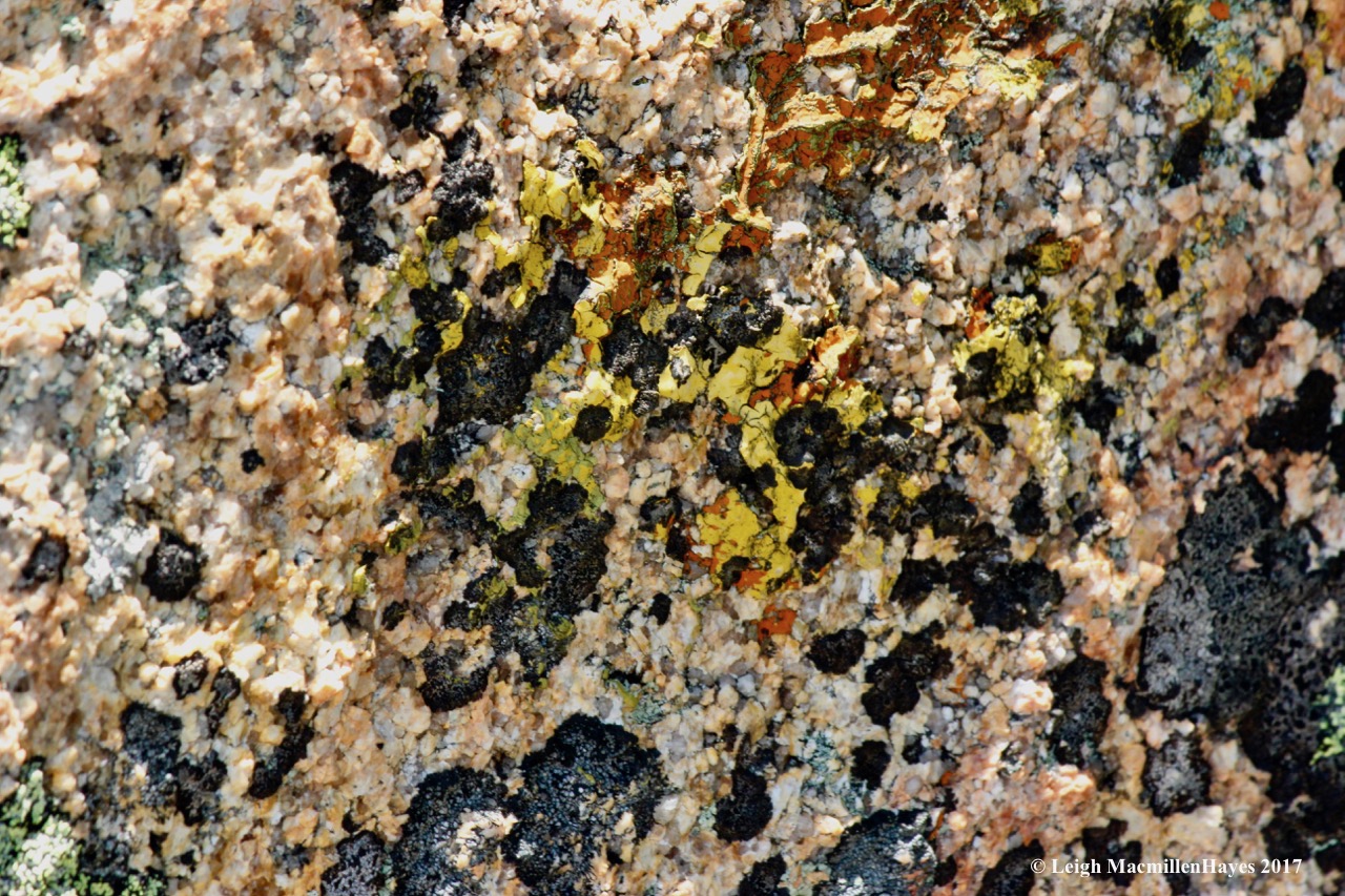
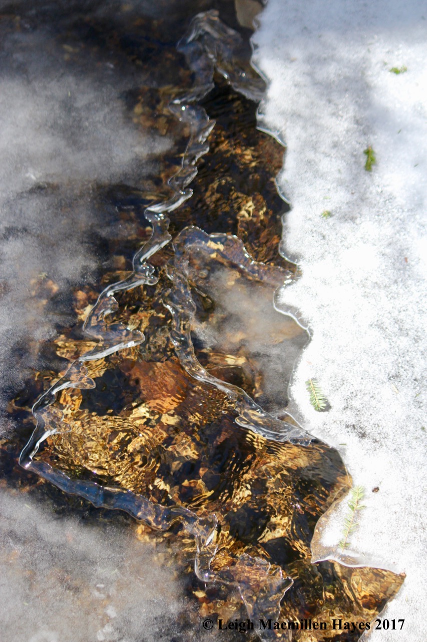
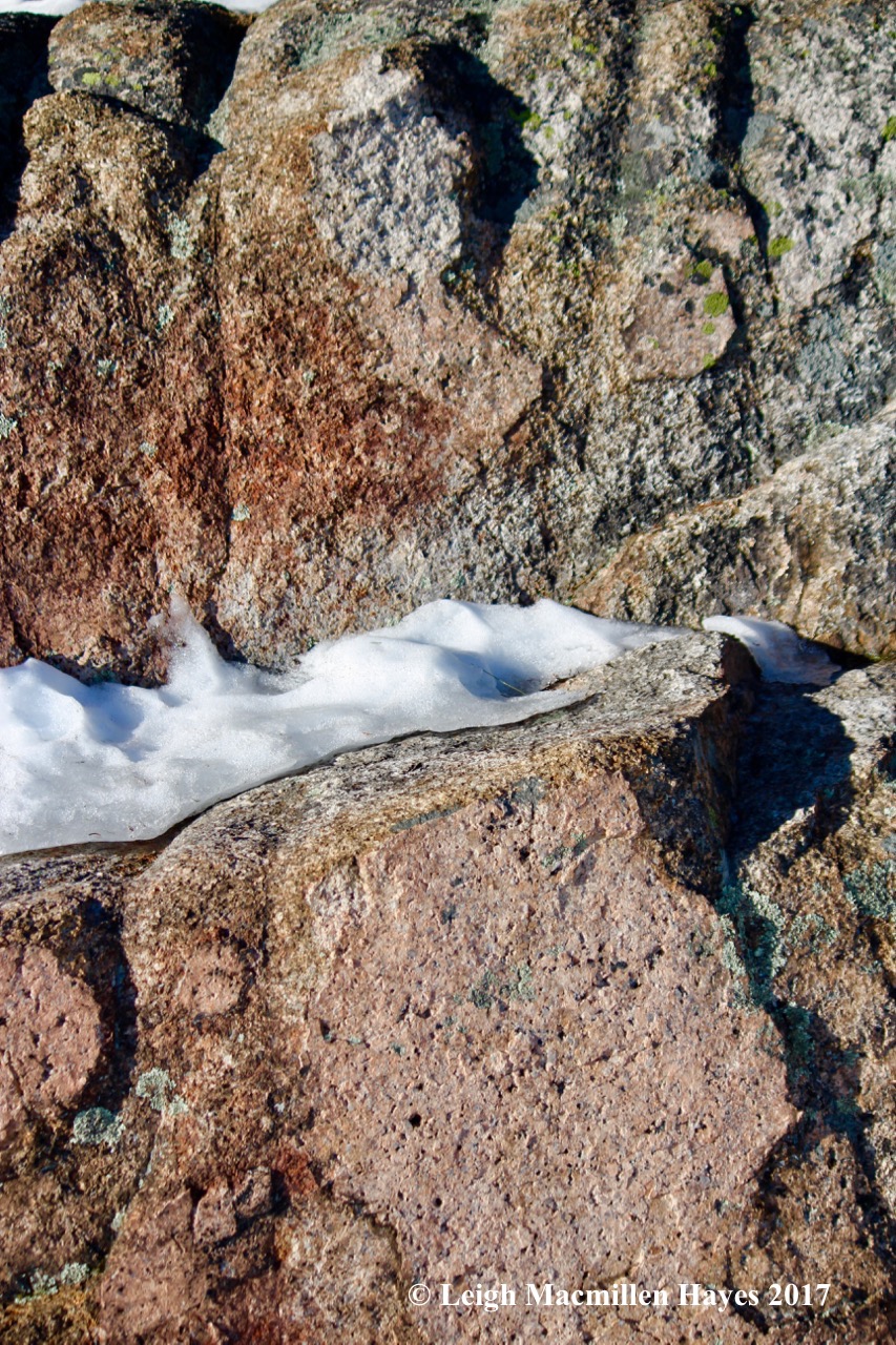
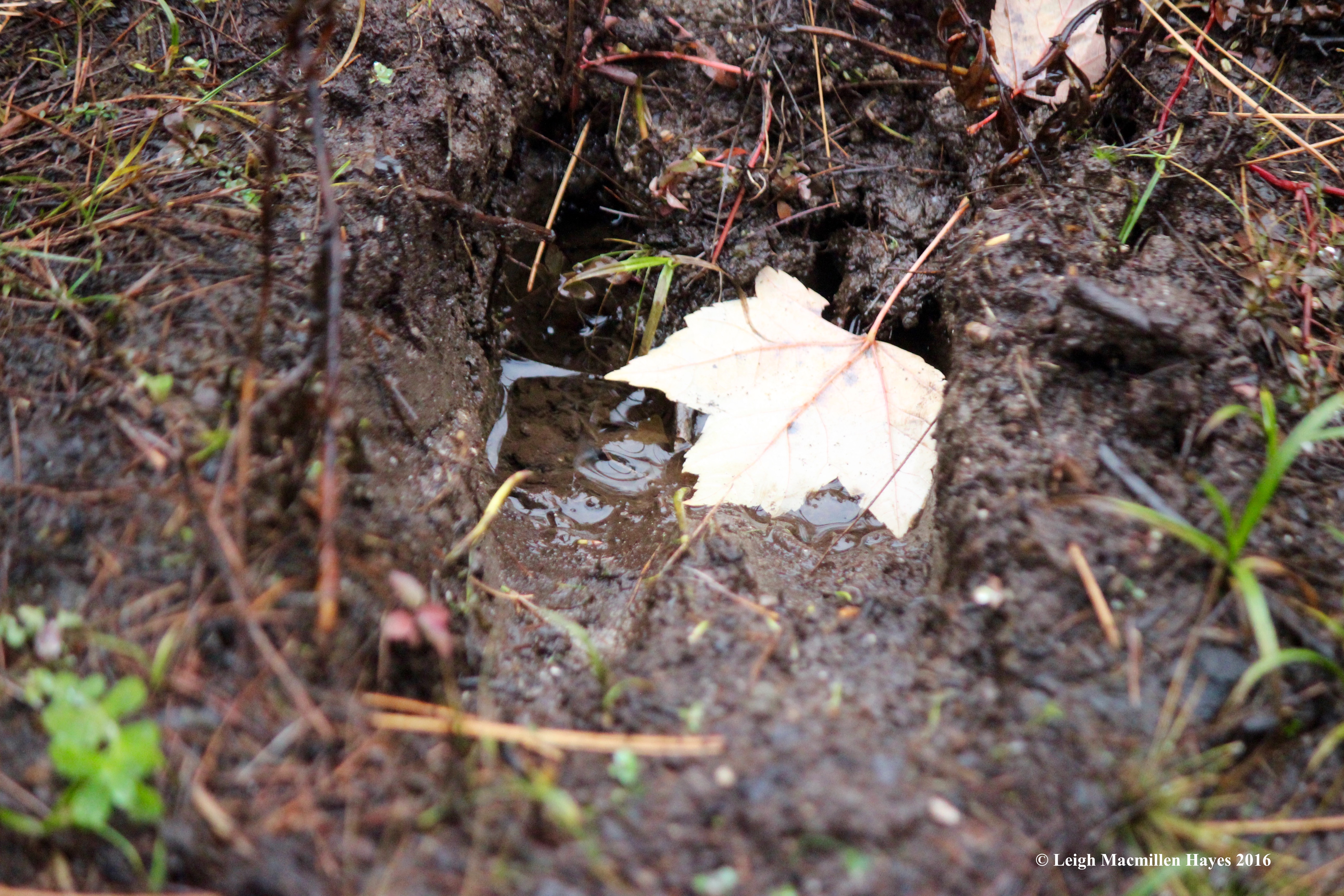
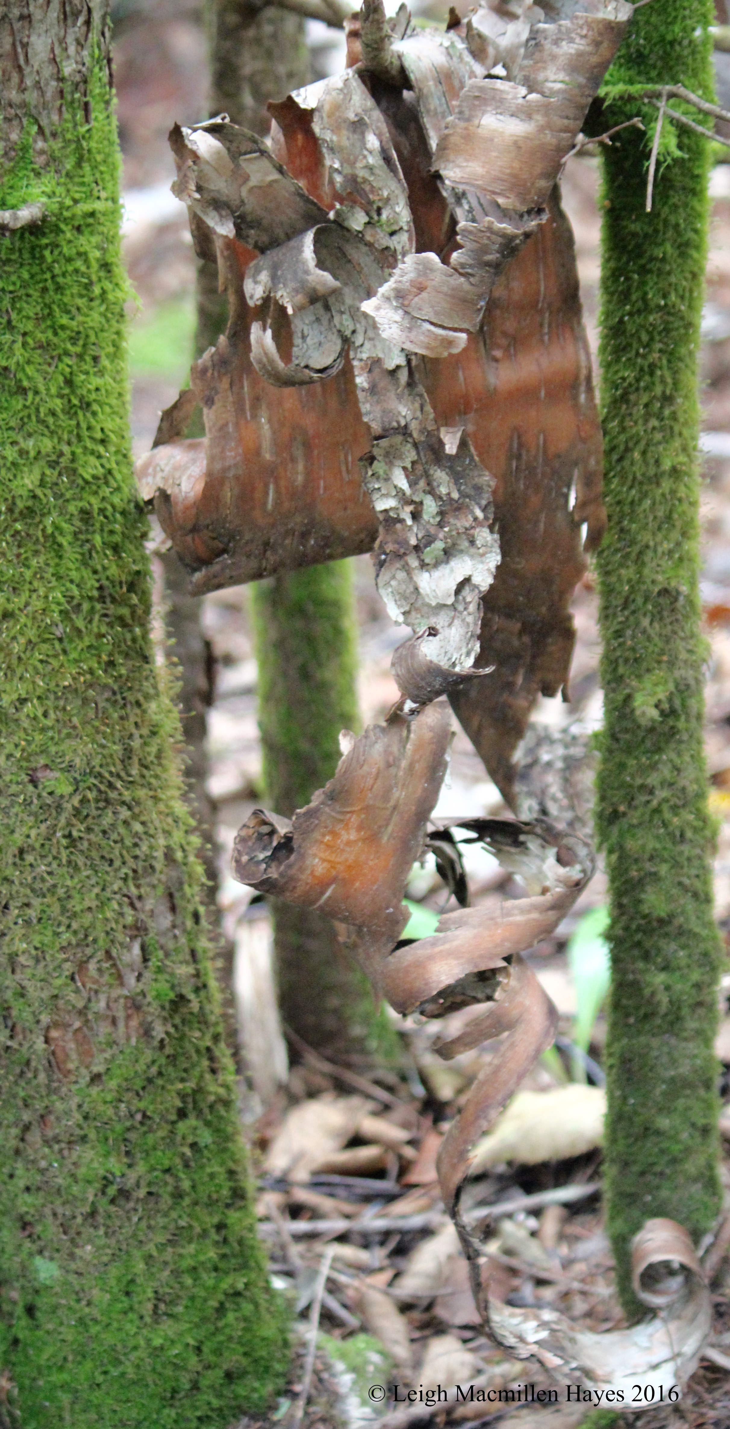
If only mosses and lichens could talk, the tales they could tell. But then we wouldn’t have mysteries to consider.

30-Marginal wood fern

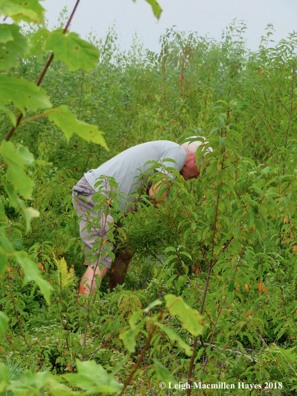
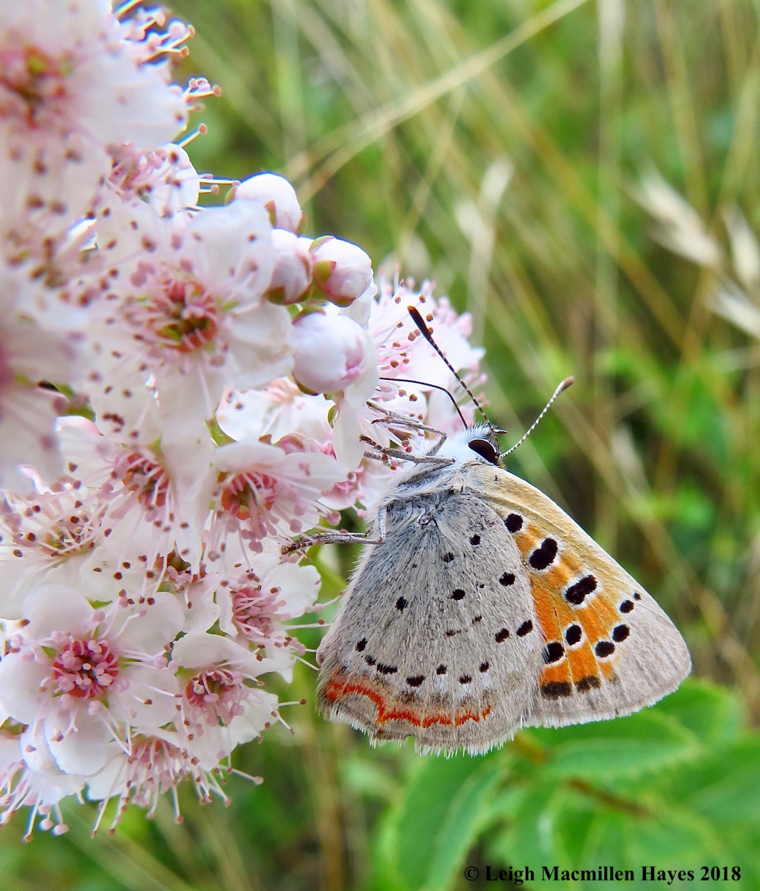
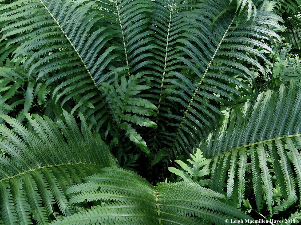
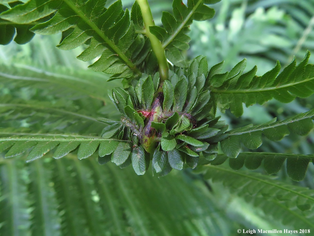
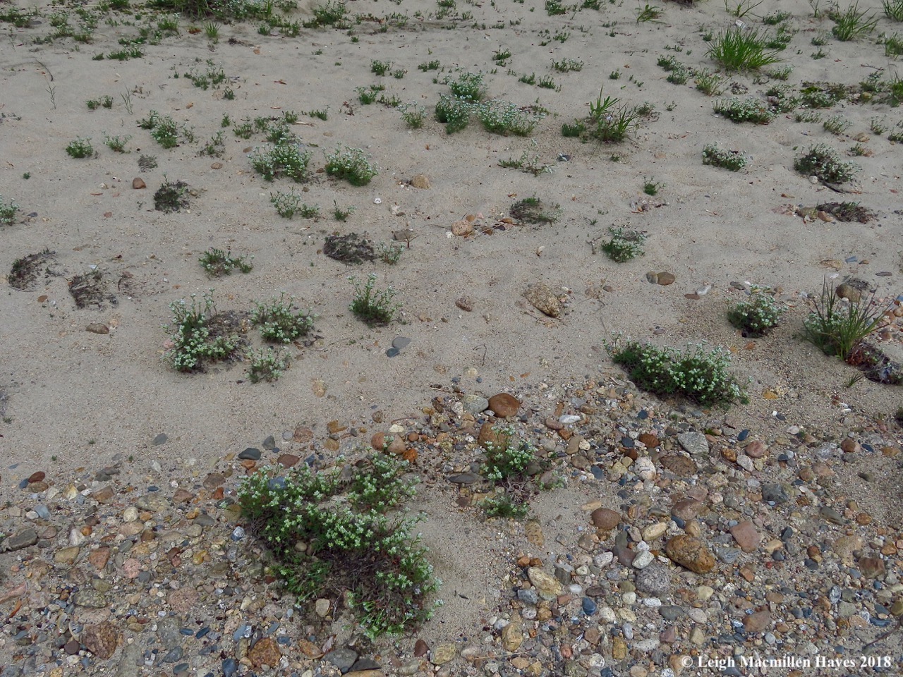
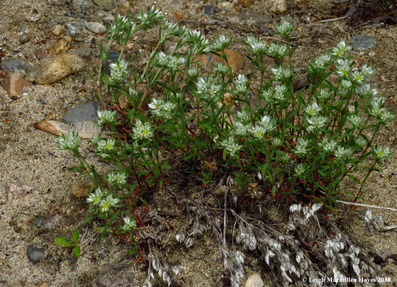
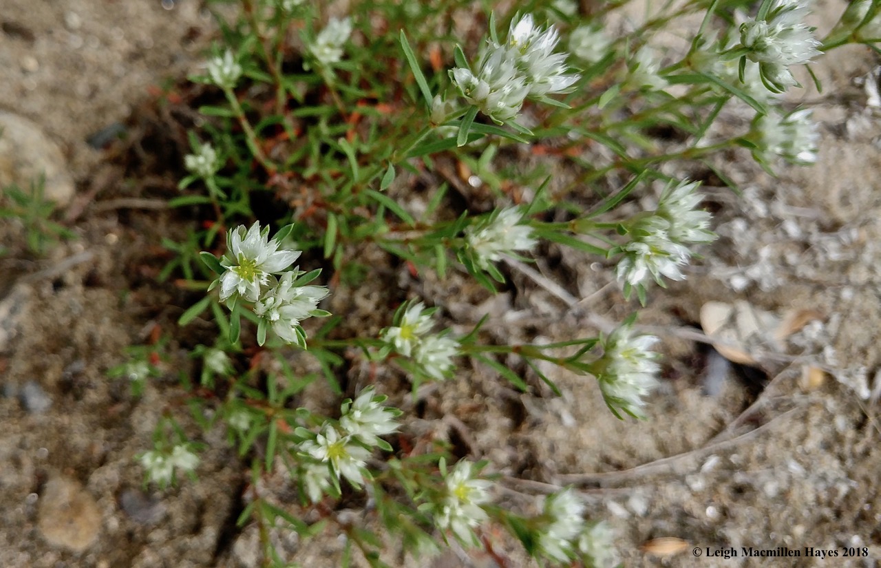
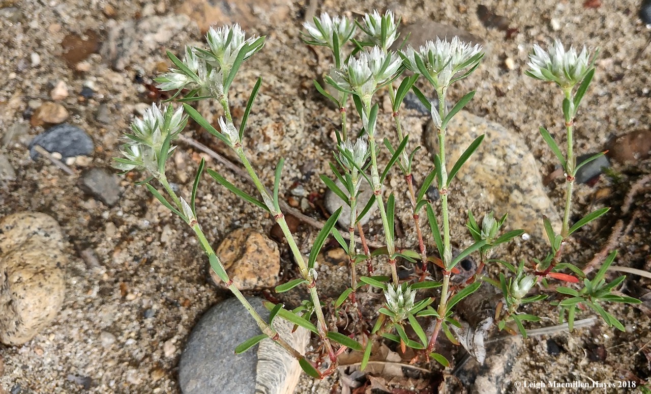
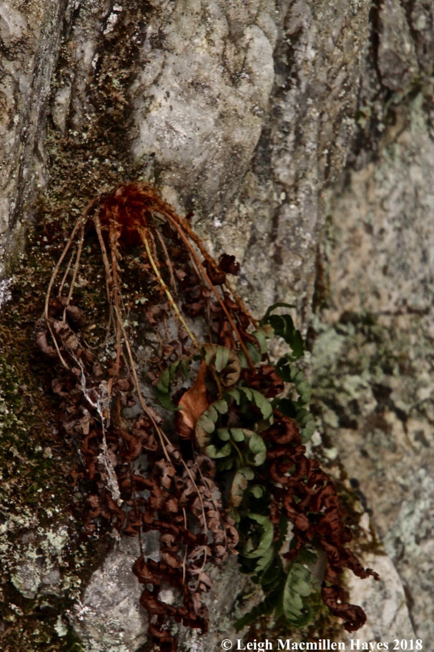
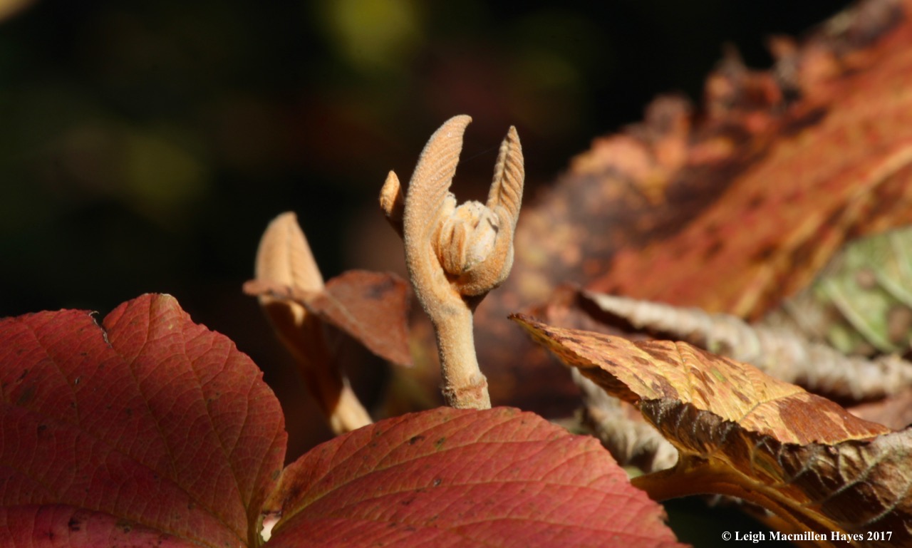
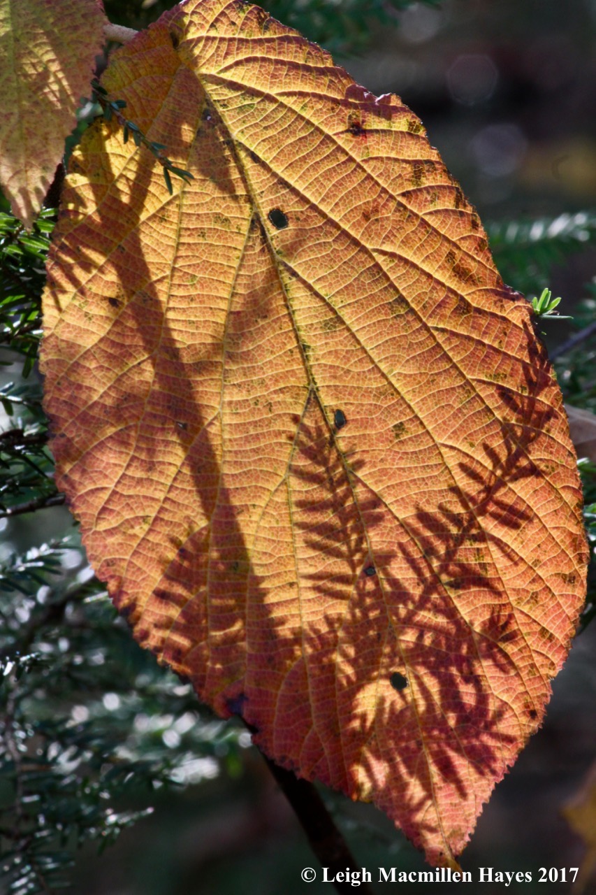
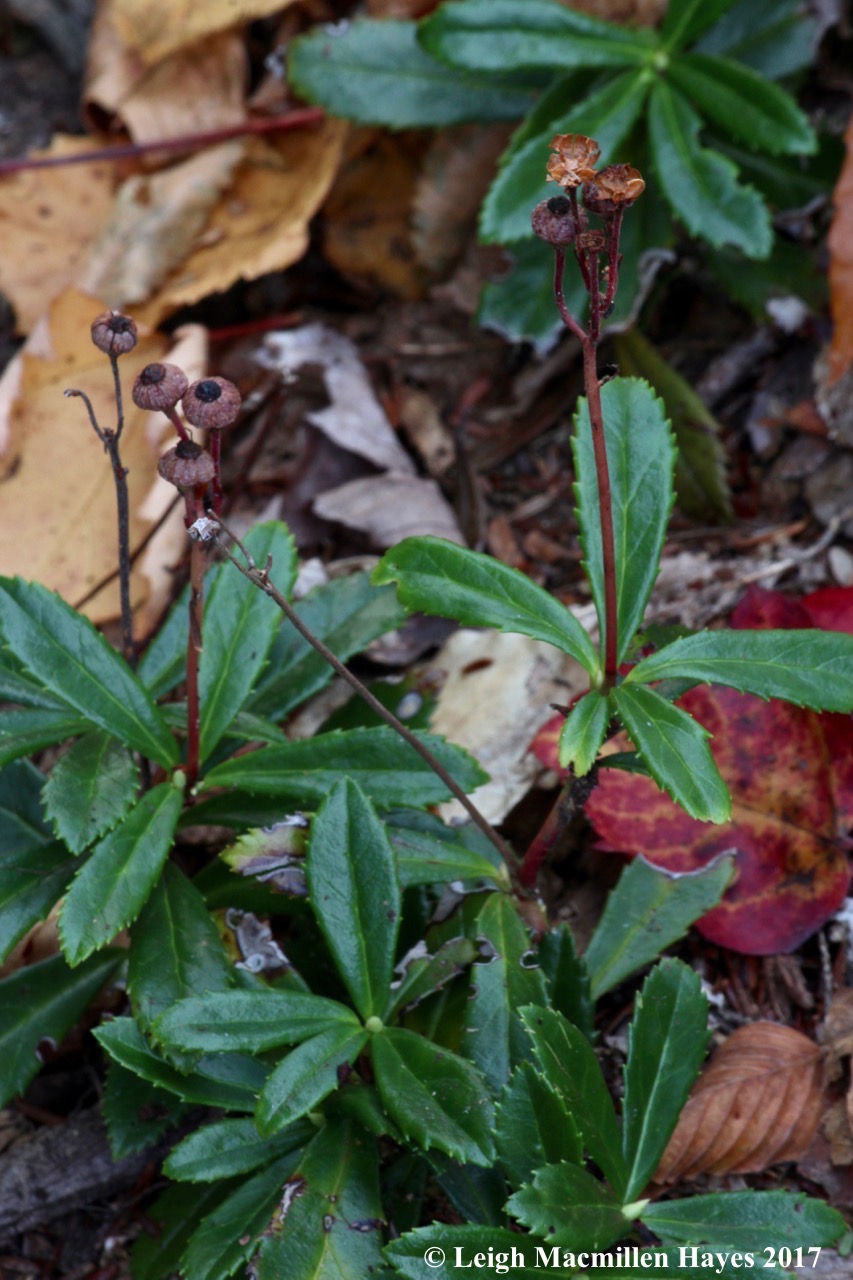
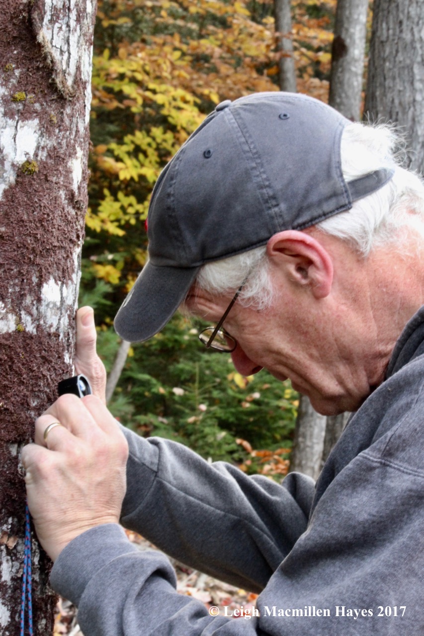
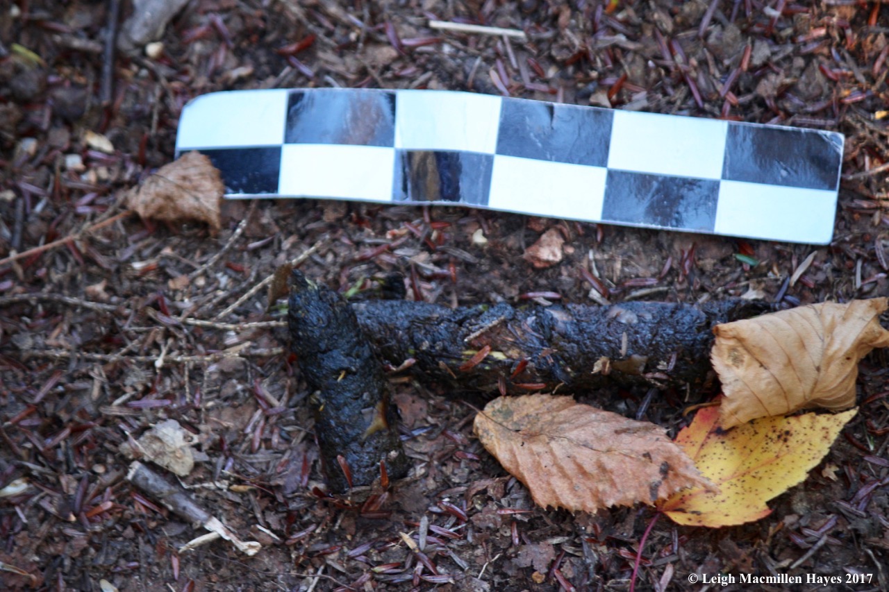
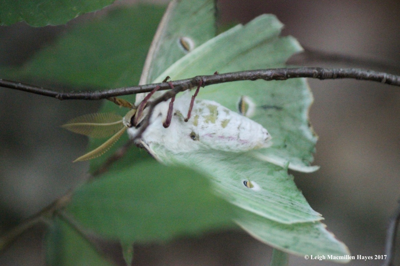
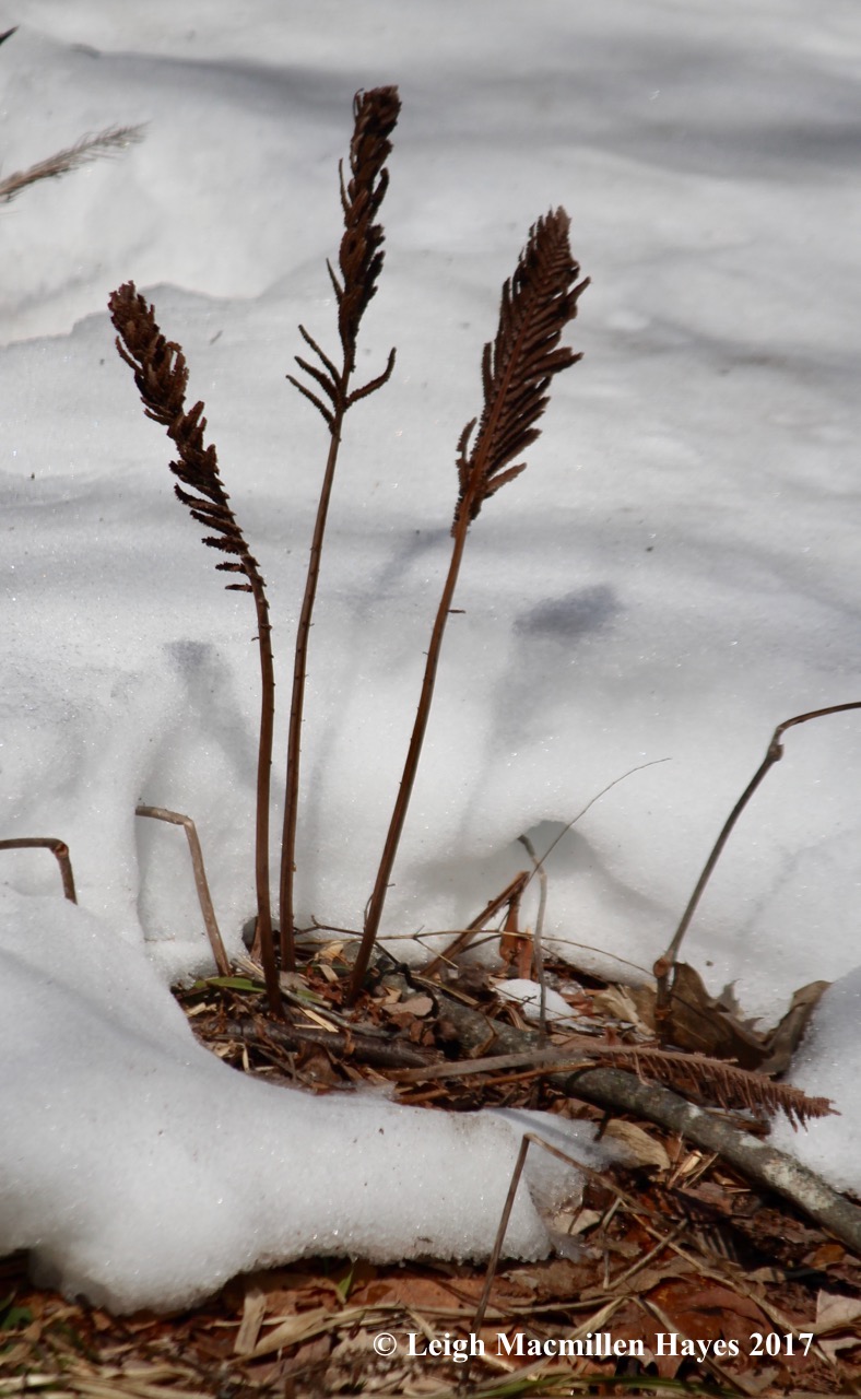
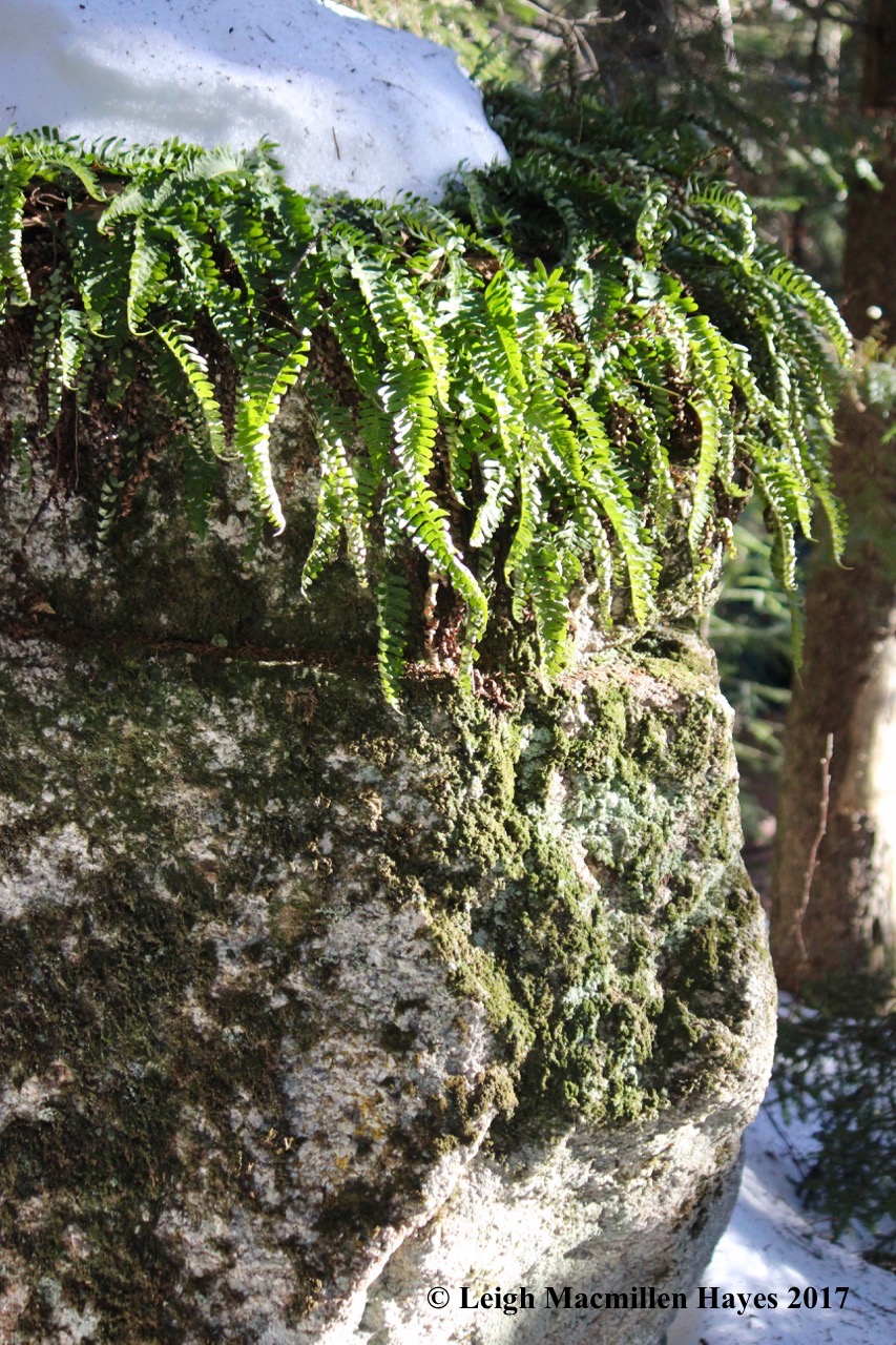
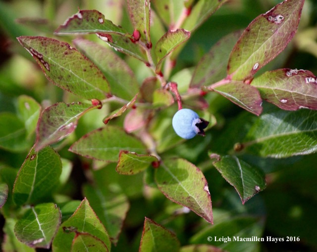
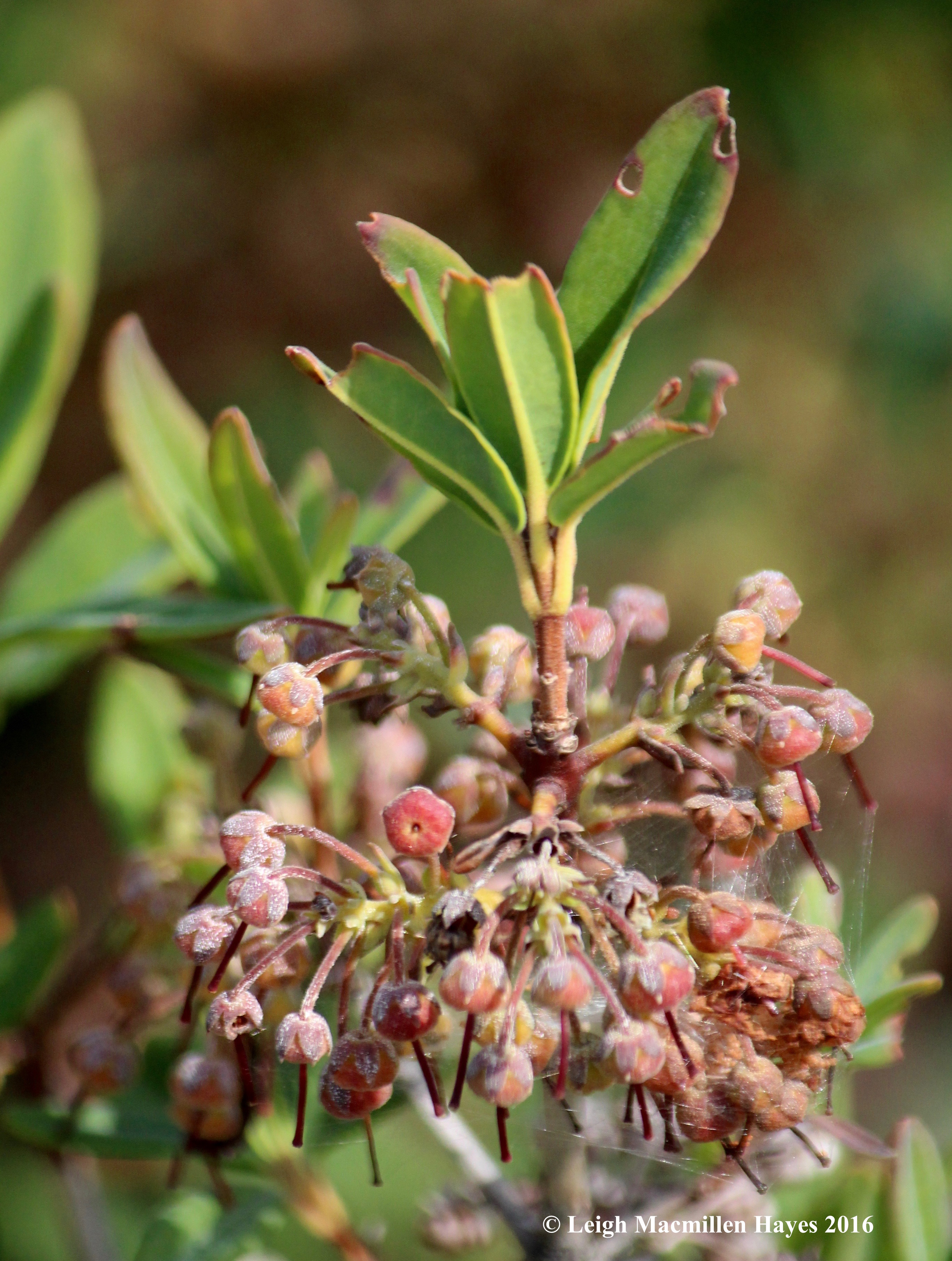
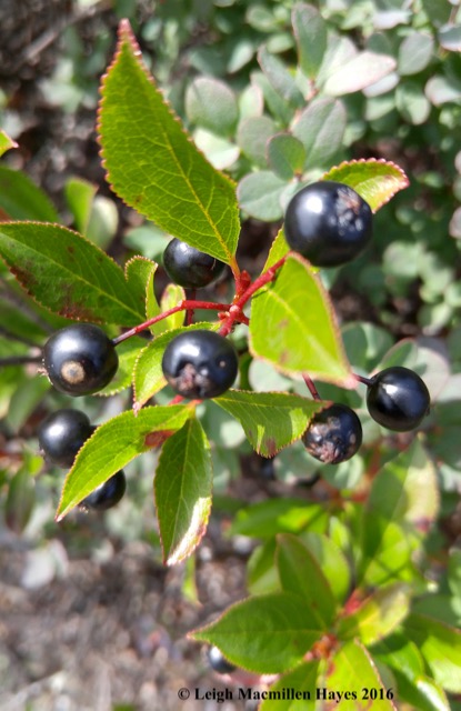
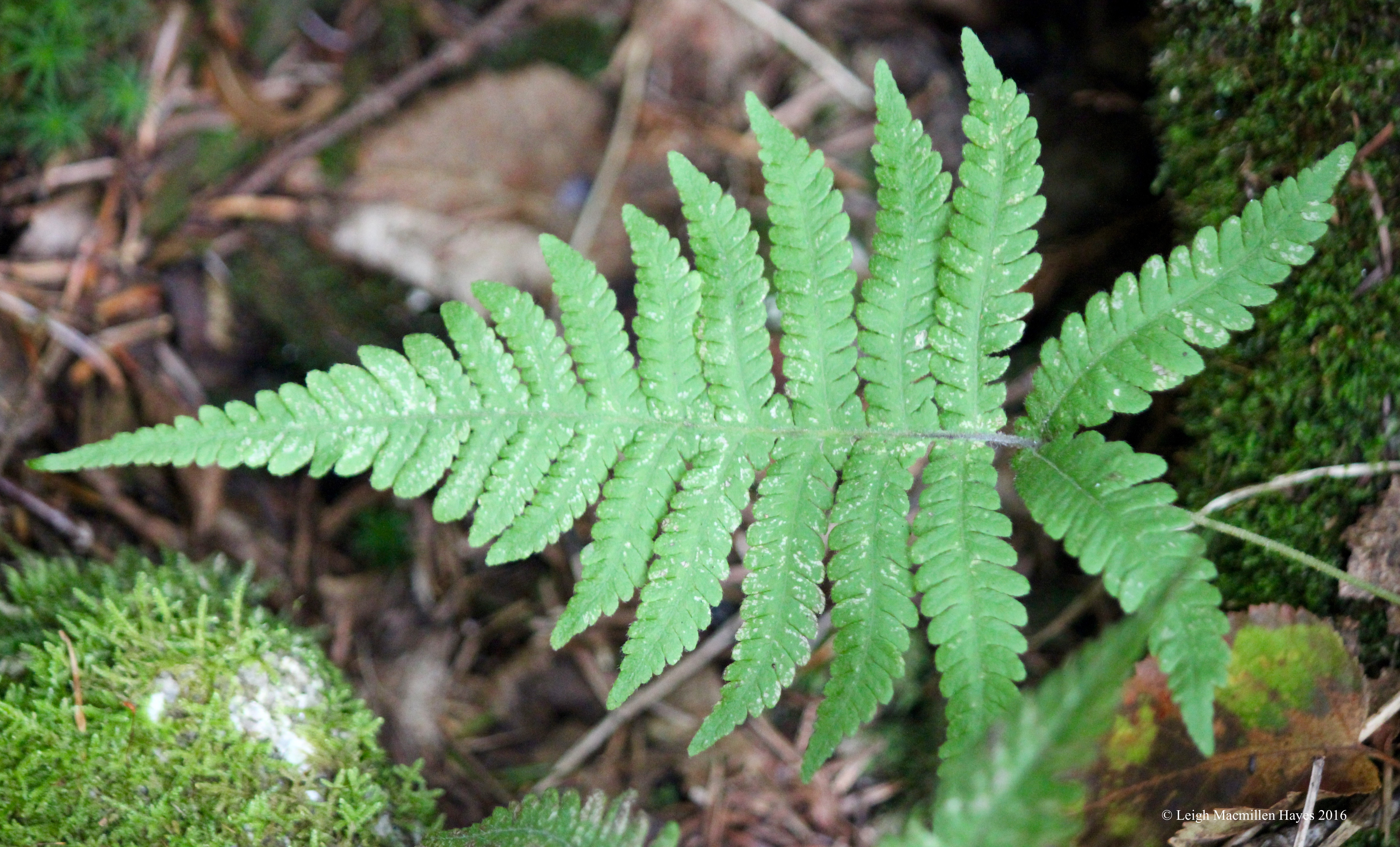
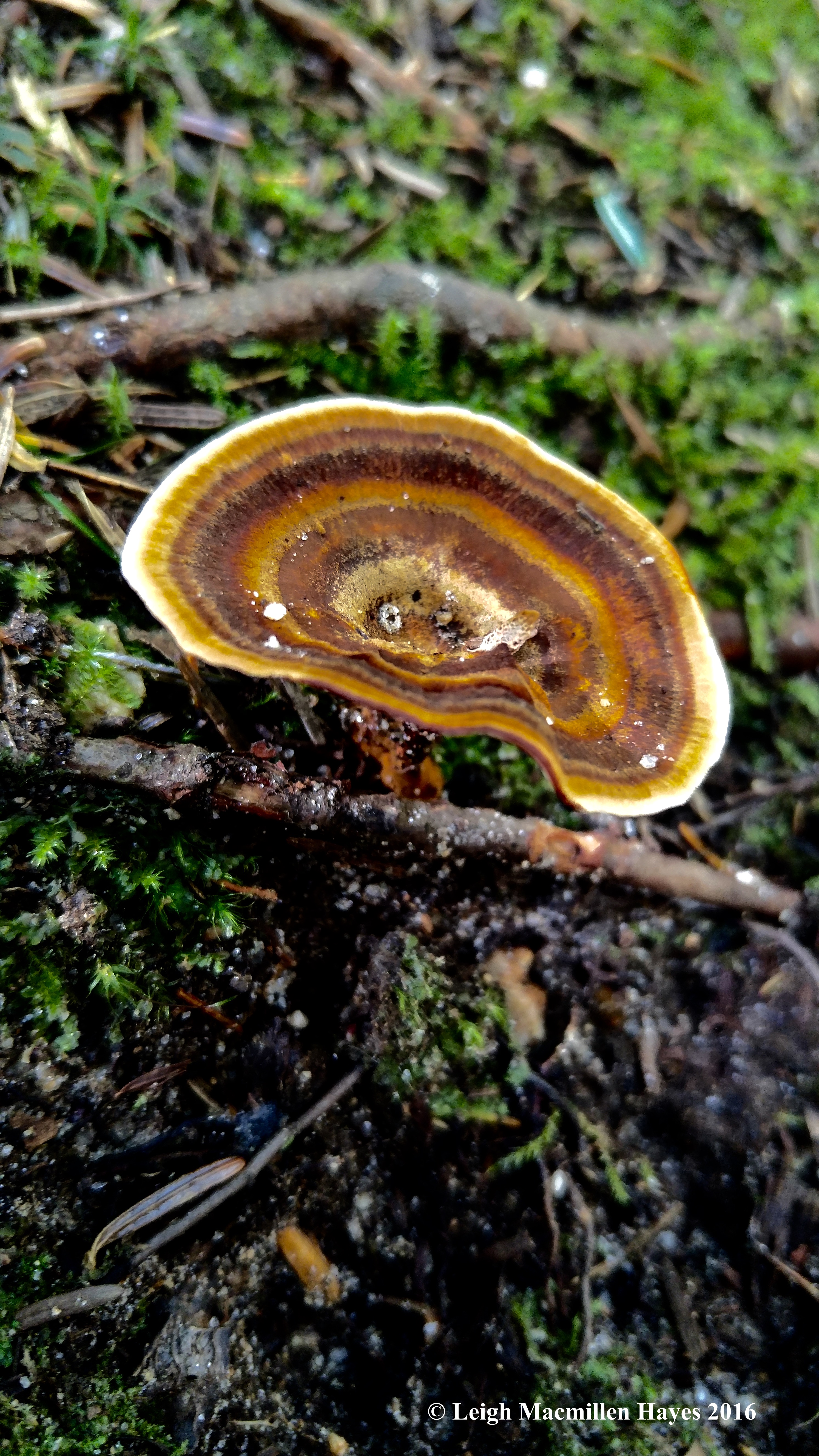
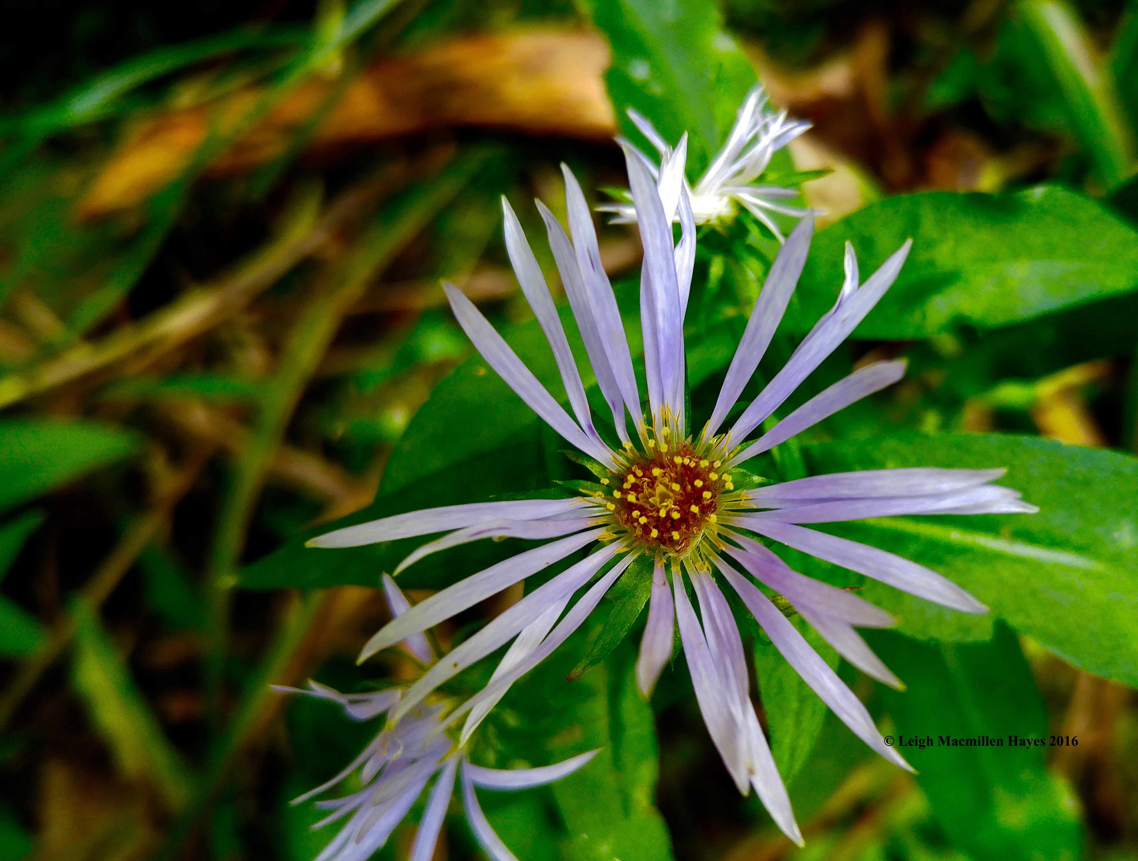
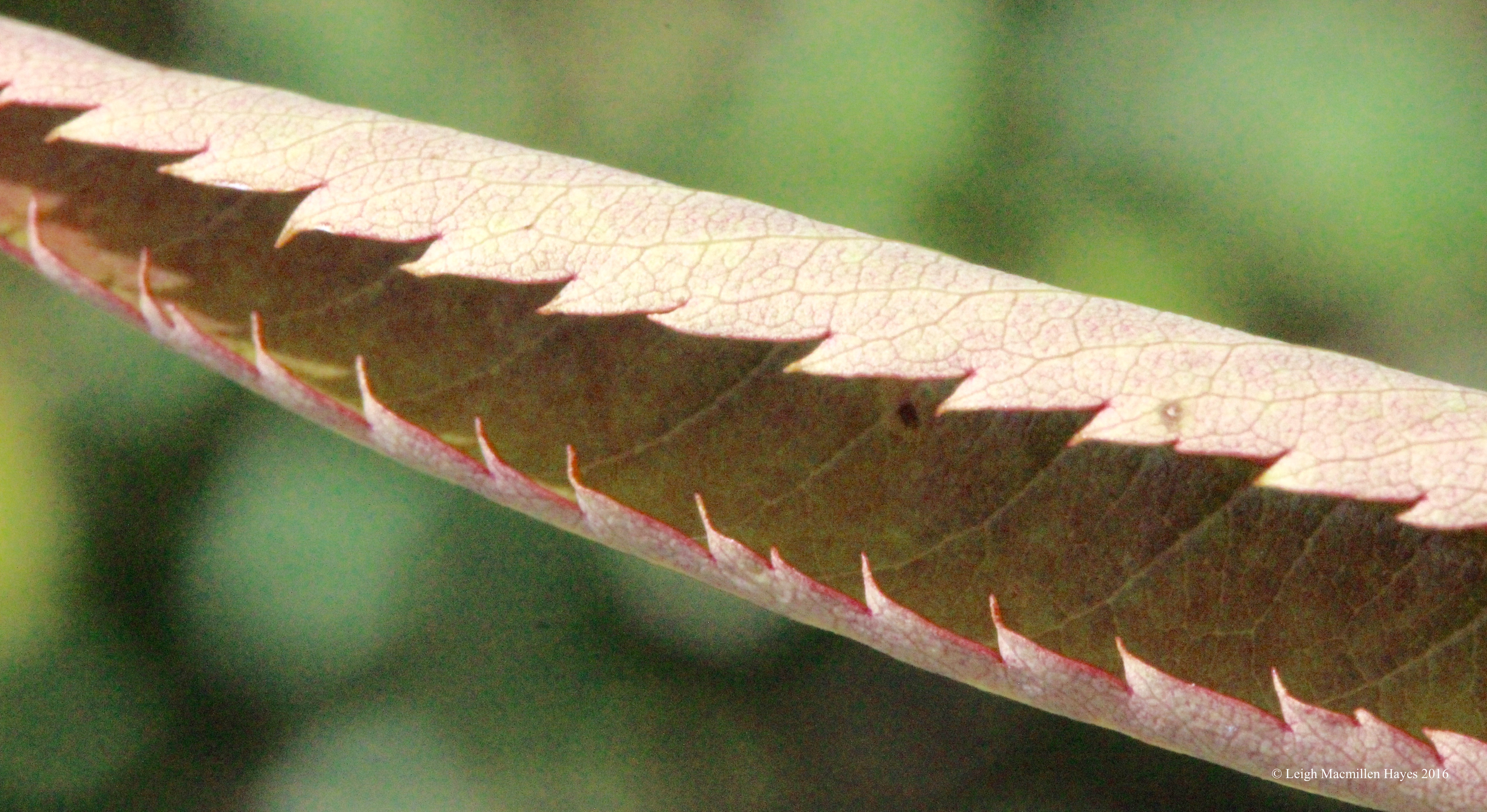
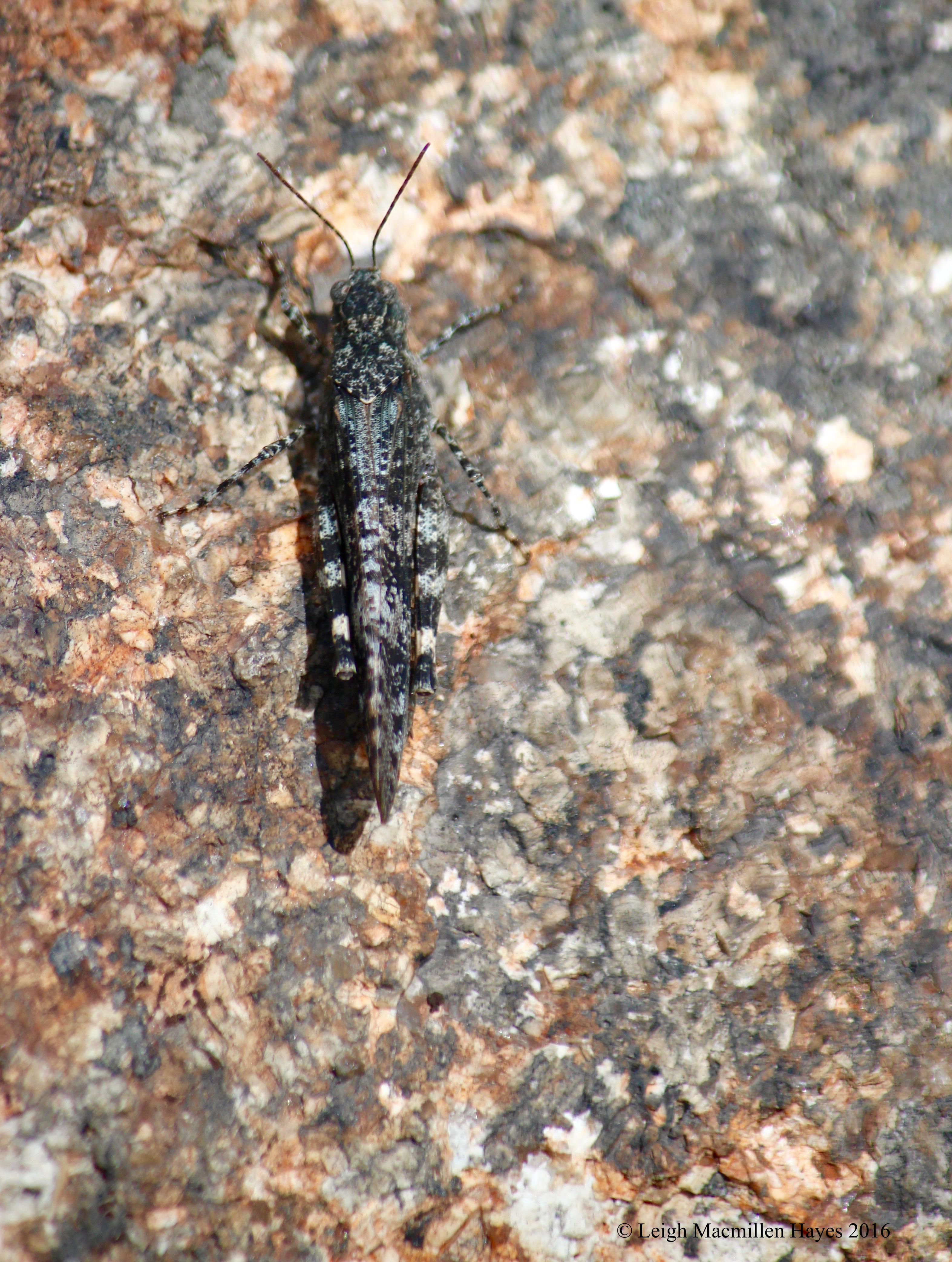
Speaking of such, one of our challenges was to identify a fern that grew among the rocks. It had several key features, including the fact that all of its fronds grew from a central point in a circle and it was still quite green–as in evergreen. A quick look at its spore arrangement on the underside and the answer was clear–marginal evergreen wood fern.

28-Black and Red Oak

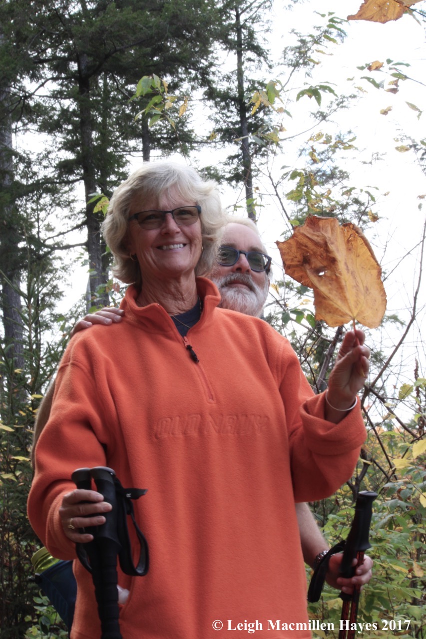
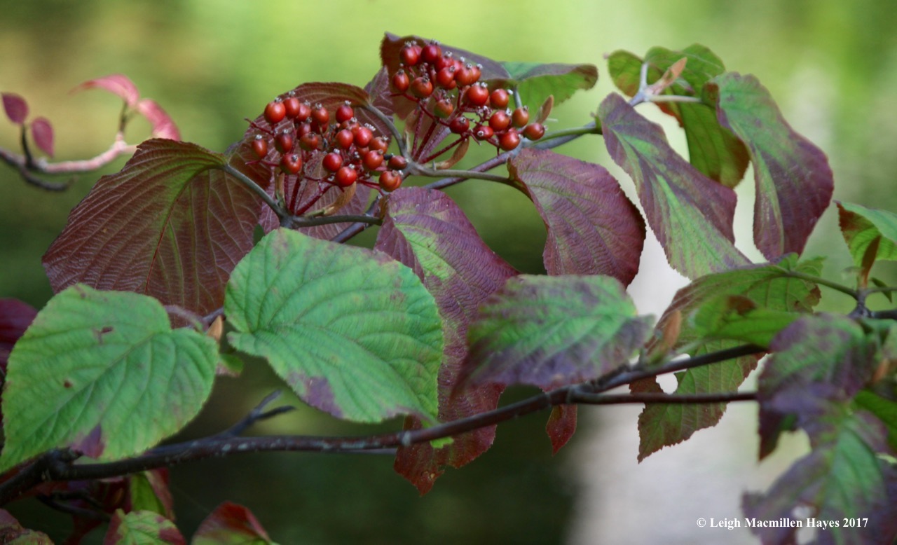
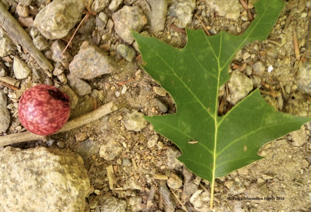
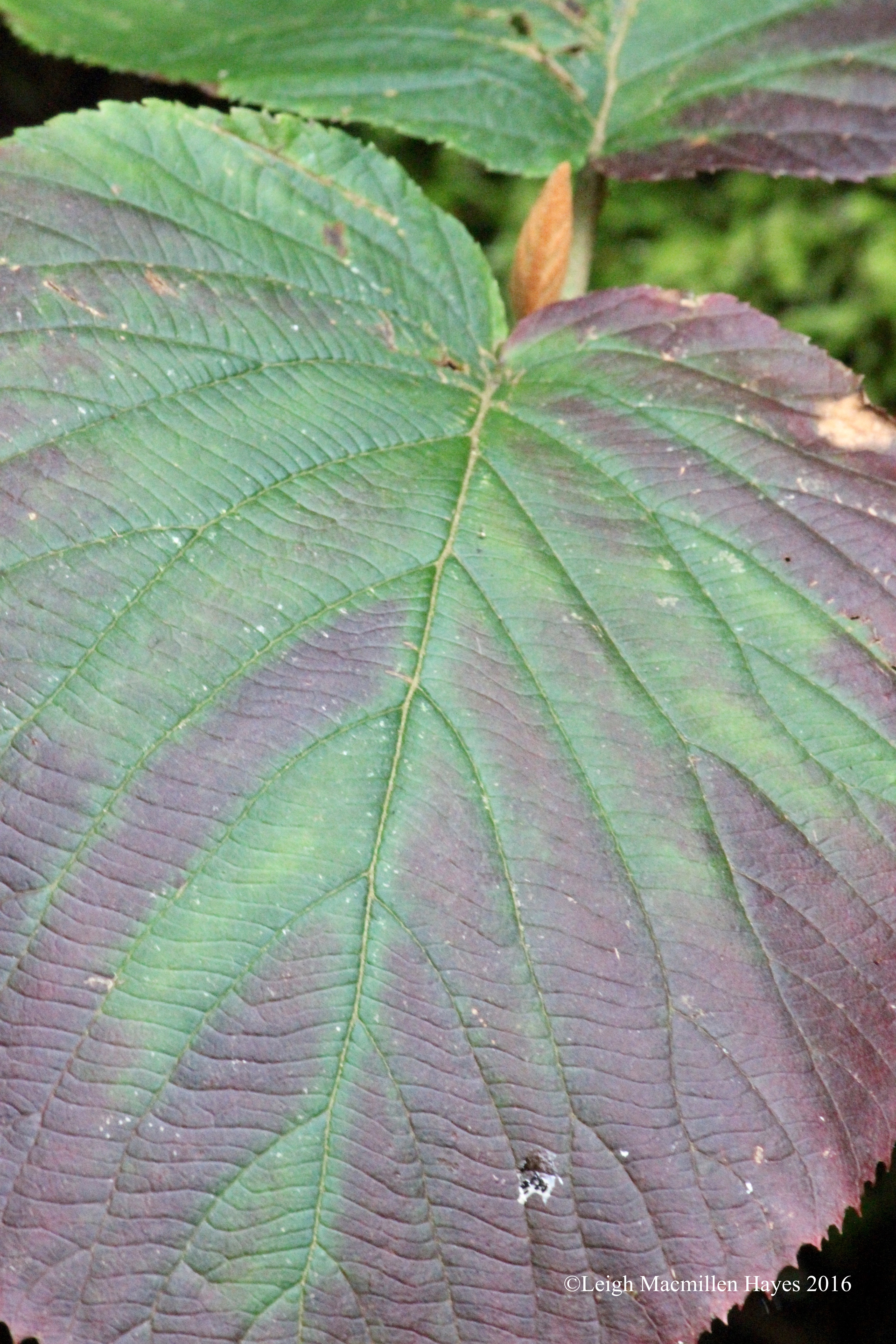
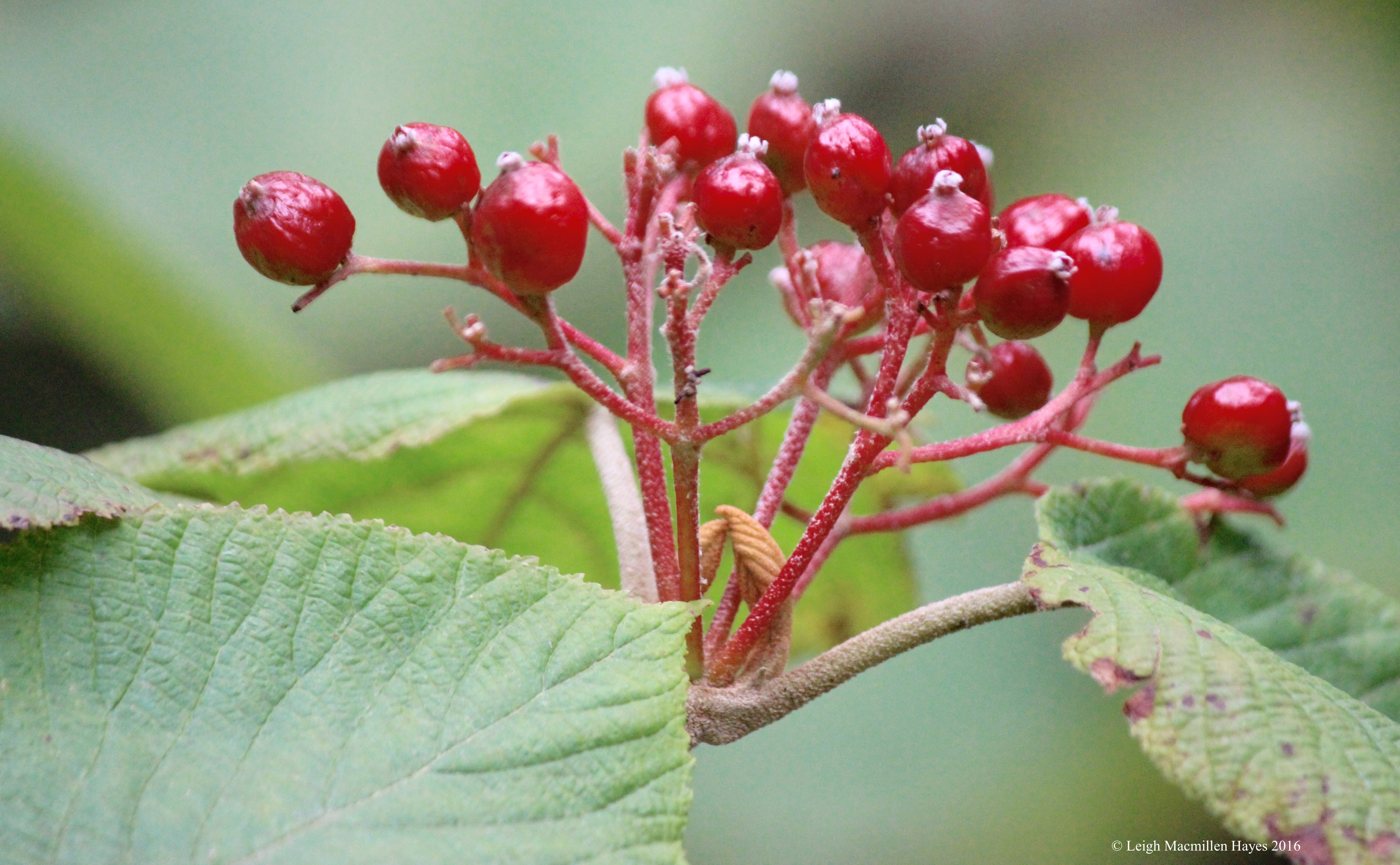
We also had to name three colors represented by the oak leaves on the grounds: Black, red,  and . . .

29-White Oak

white.

23-Astronomical Calendar with view cuts

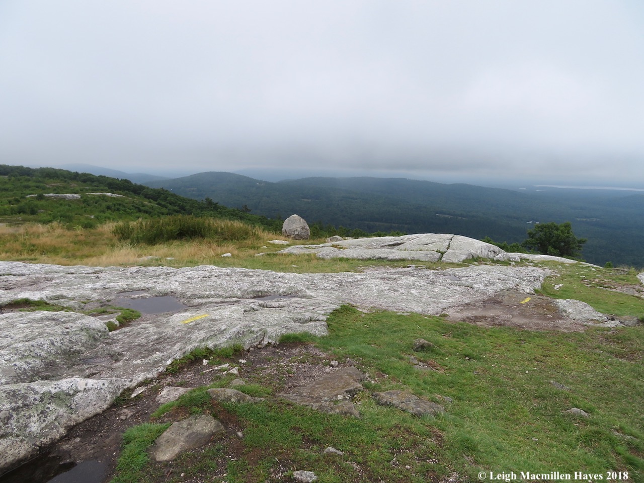
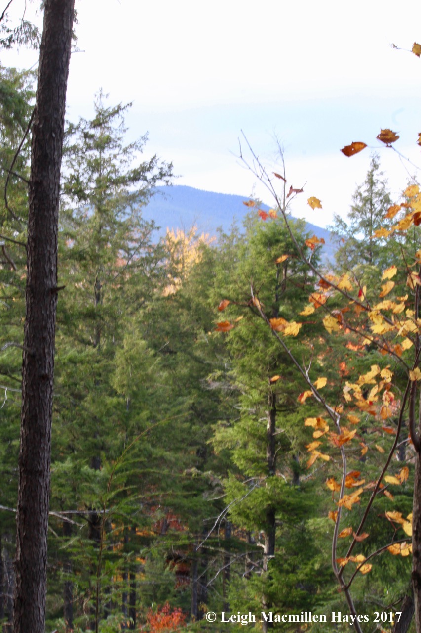
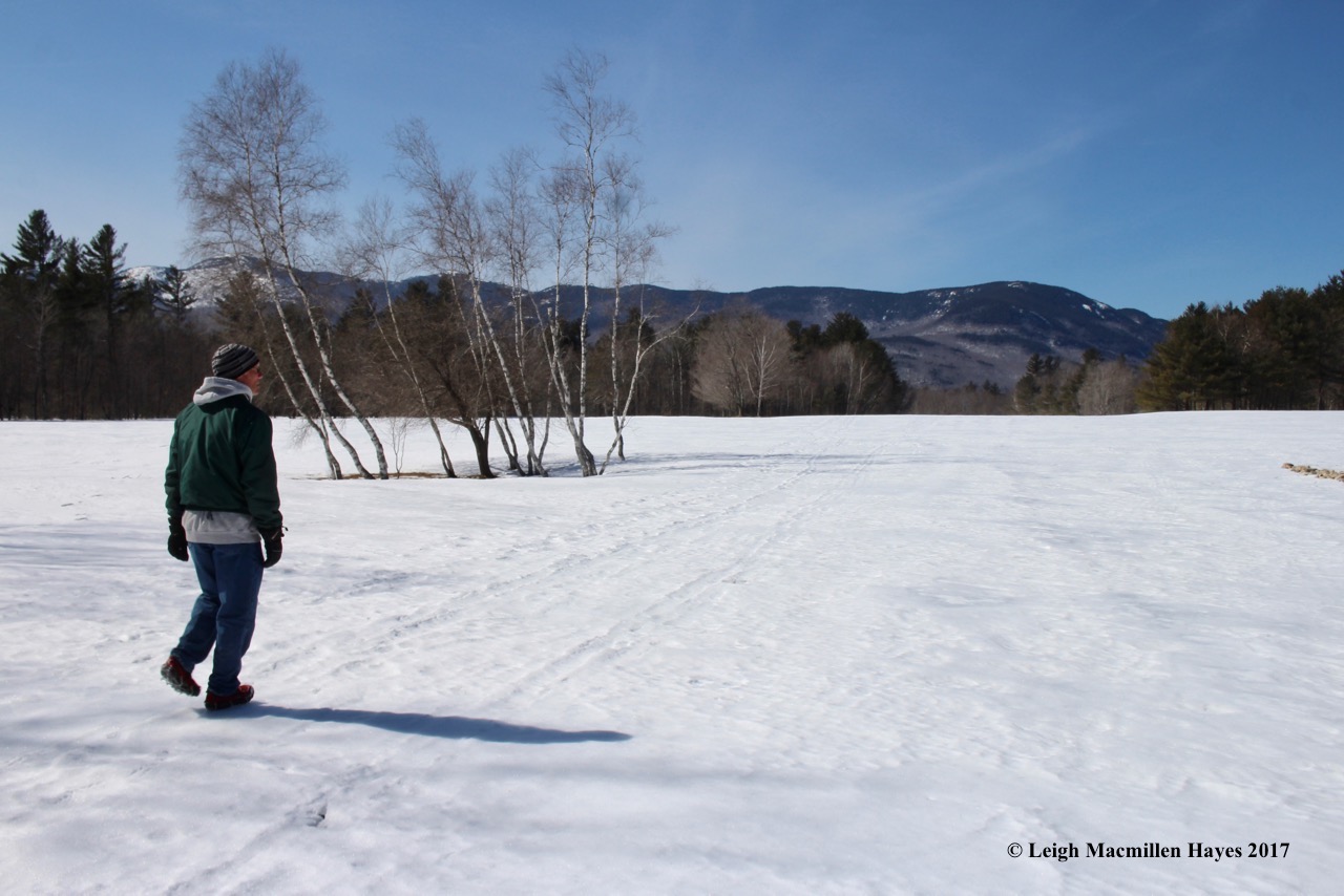
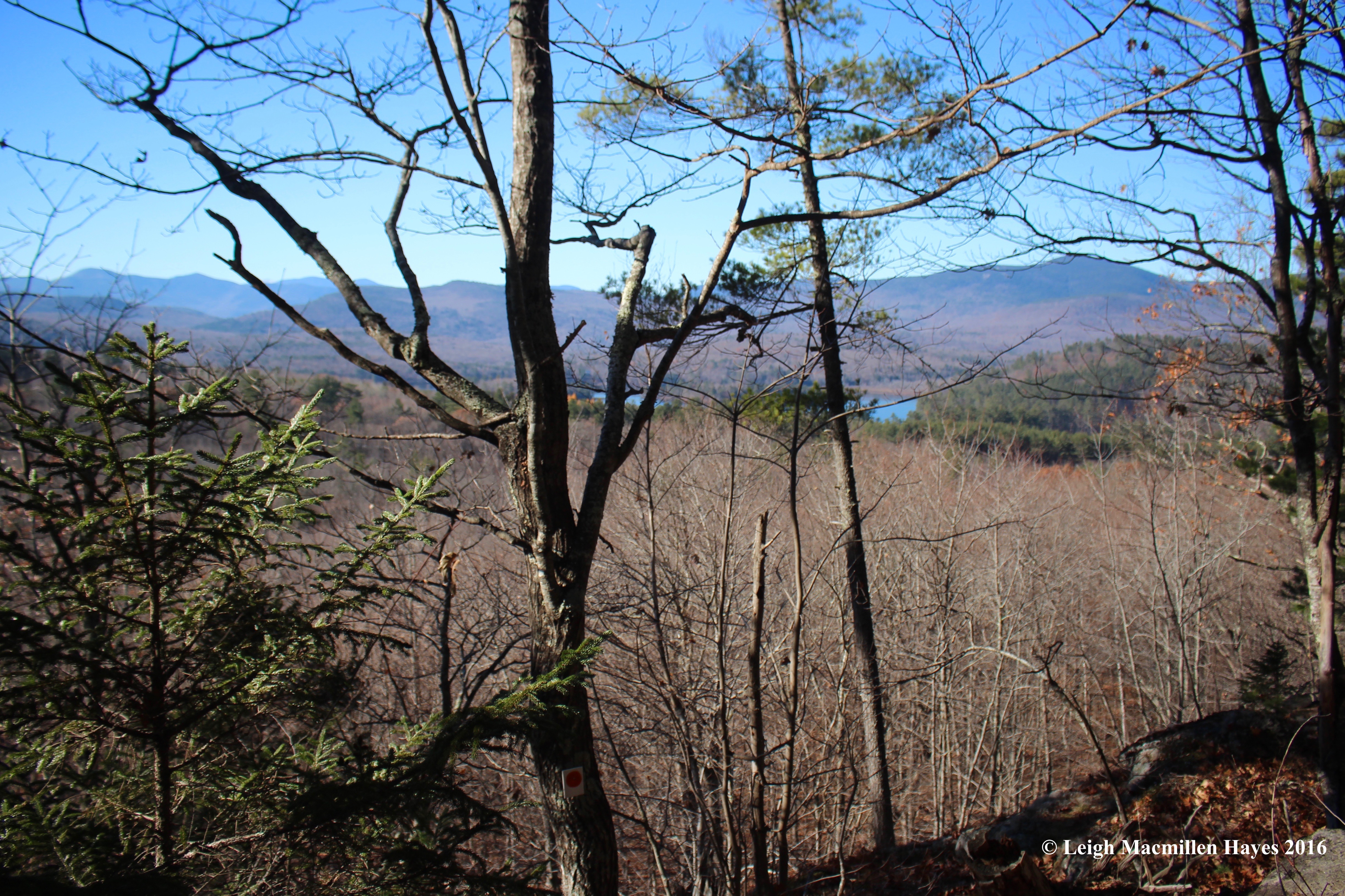
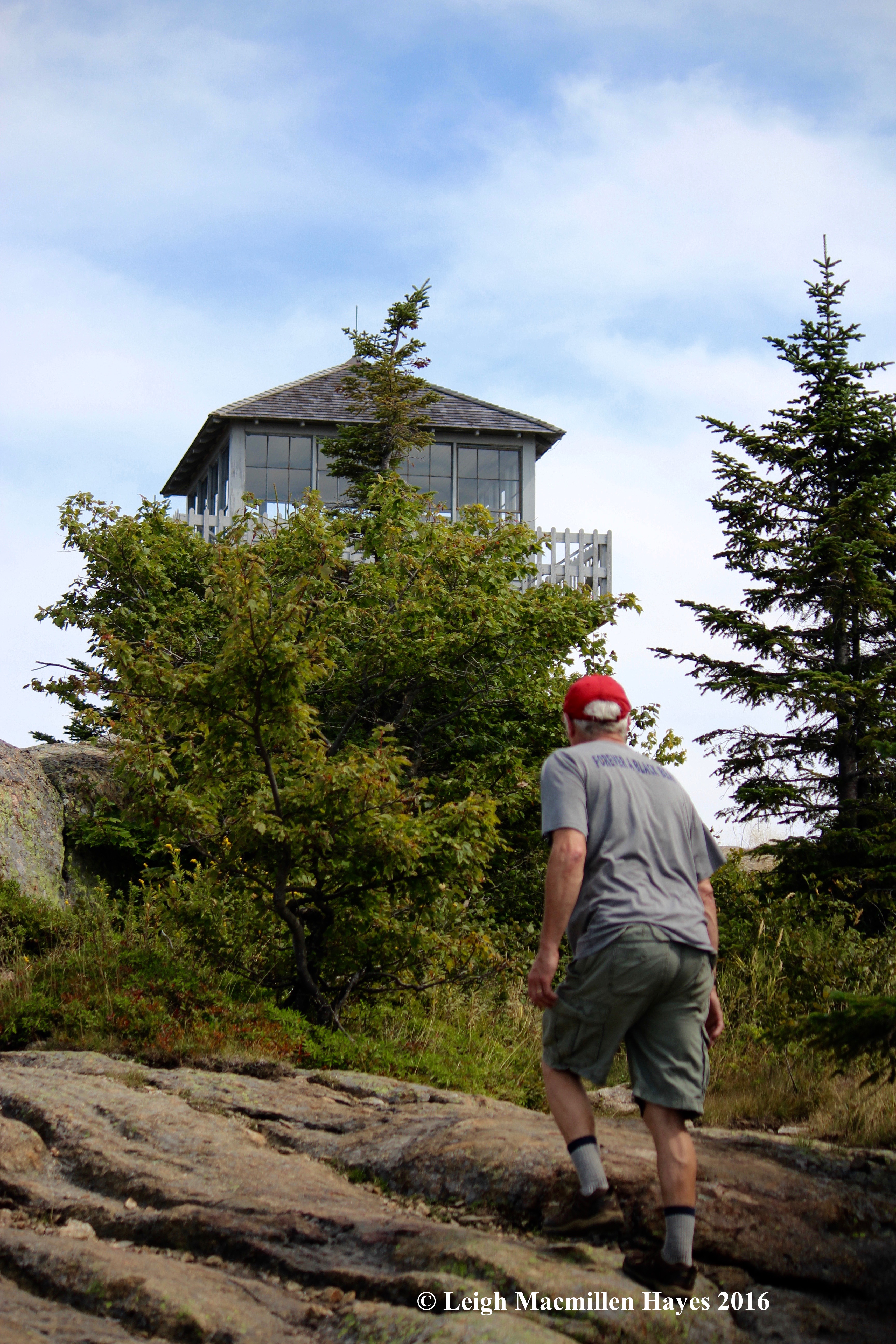
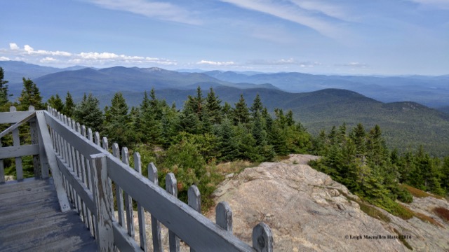
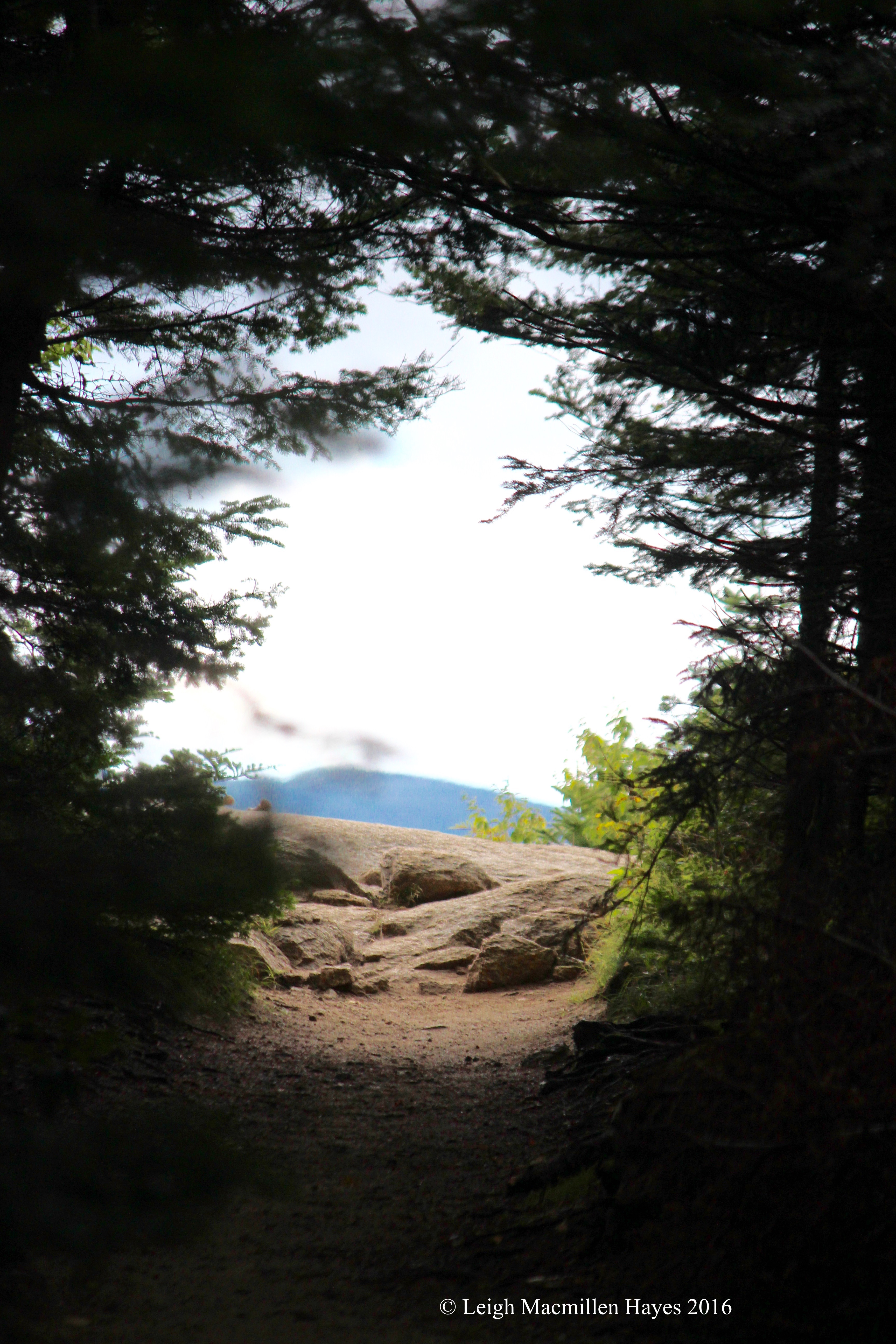
And then it was time to climb the Astronomical Viewing Platform. I was initially put off by the sight of the modern structure and thought perhaps it was a children’s playground tossed into the mix. But . . . thankfully I was wrong. Constructed in 1975, from the platform you can view the major astronomical alignment stones, including true north for summer and winter solstice. Trees were cleared in 1967 along the various important date sights and are still maintained. When the structure was first constructed, there were probably no trees atop the bedrock. This afternoon, as we looked out, our view included the November 1st sunset.

24-Nov 1 Sunset

We followed the trail toward the November 1 Sunset Stone.

26-Winter Solstice Sunset Monolith

And were equally excited to note the Winter Solstice Sunset Monolith. This was the first monolith that researchers suspected to be a solar alignment. On December 21, 1970, the shortest day of the year, it was photographed. Because the Earth’s tilt has changed, it’s a bit off these days, but would have marked the southern most set of the sun almost 4,000 years ago. Wow!

33-White Pine map

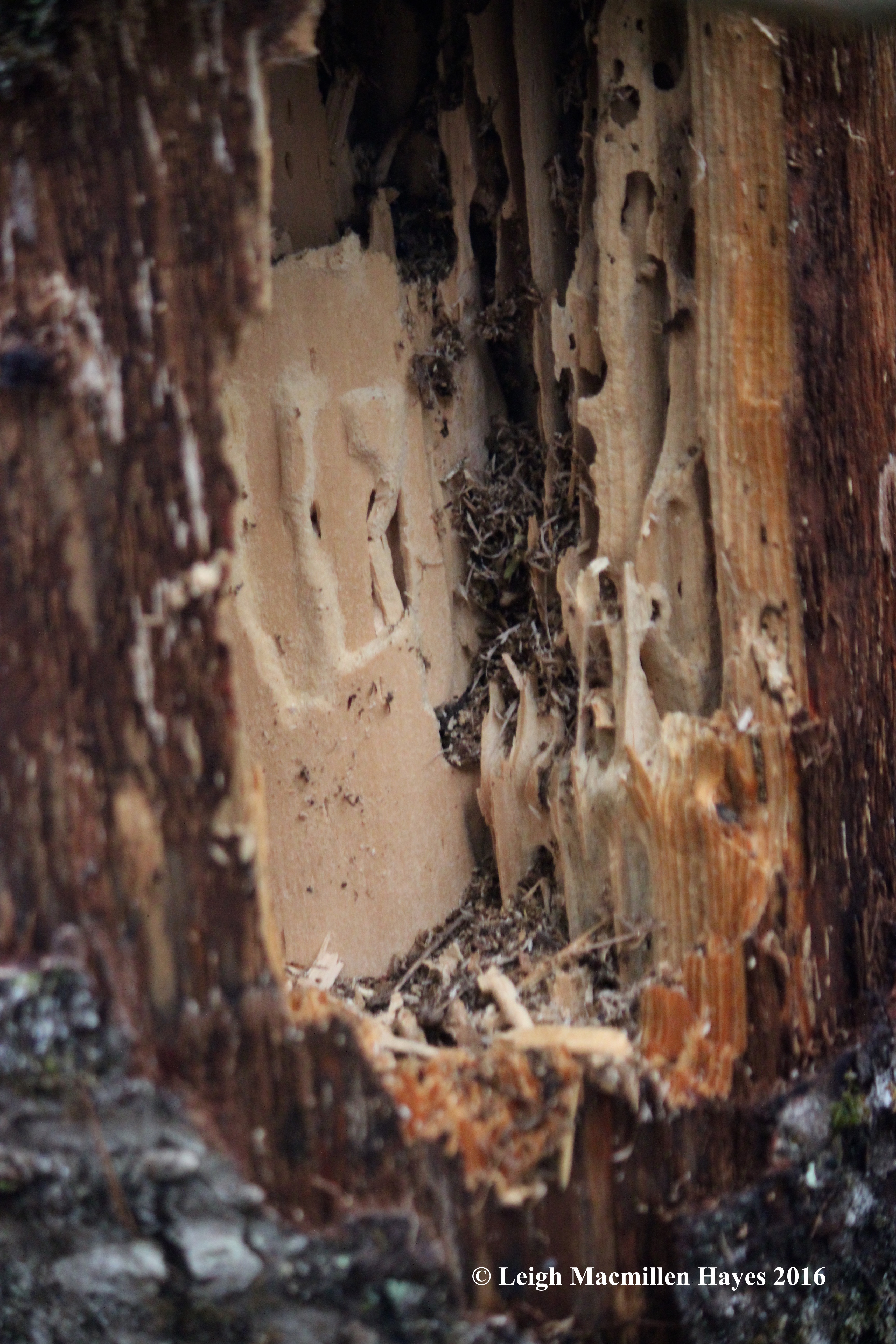
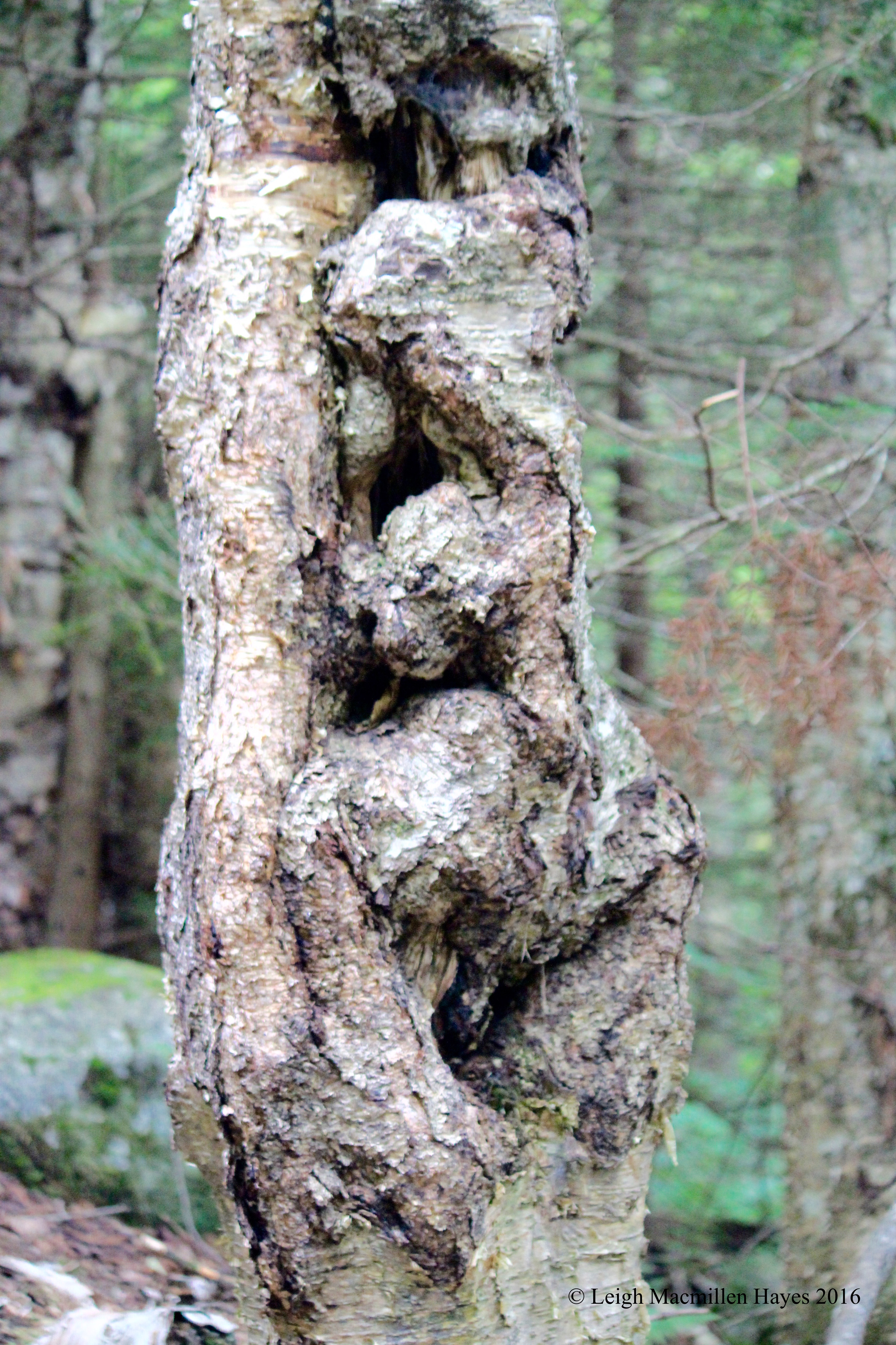
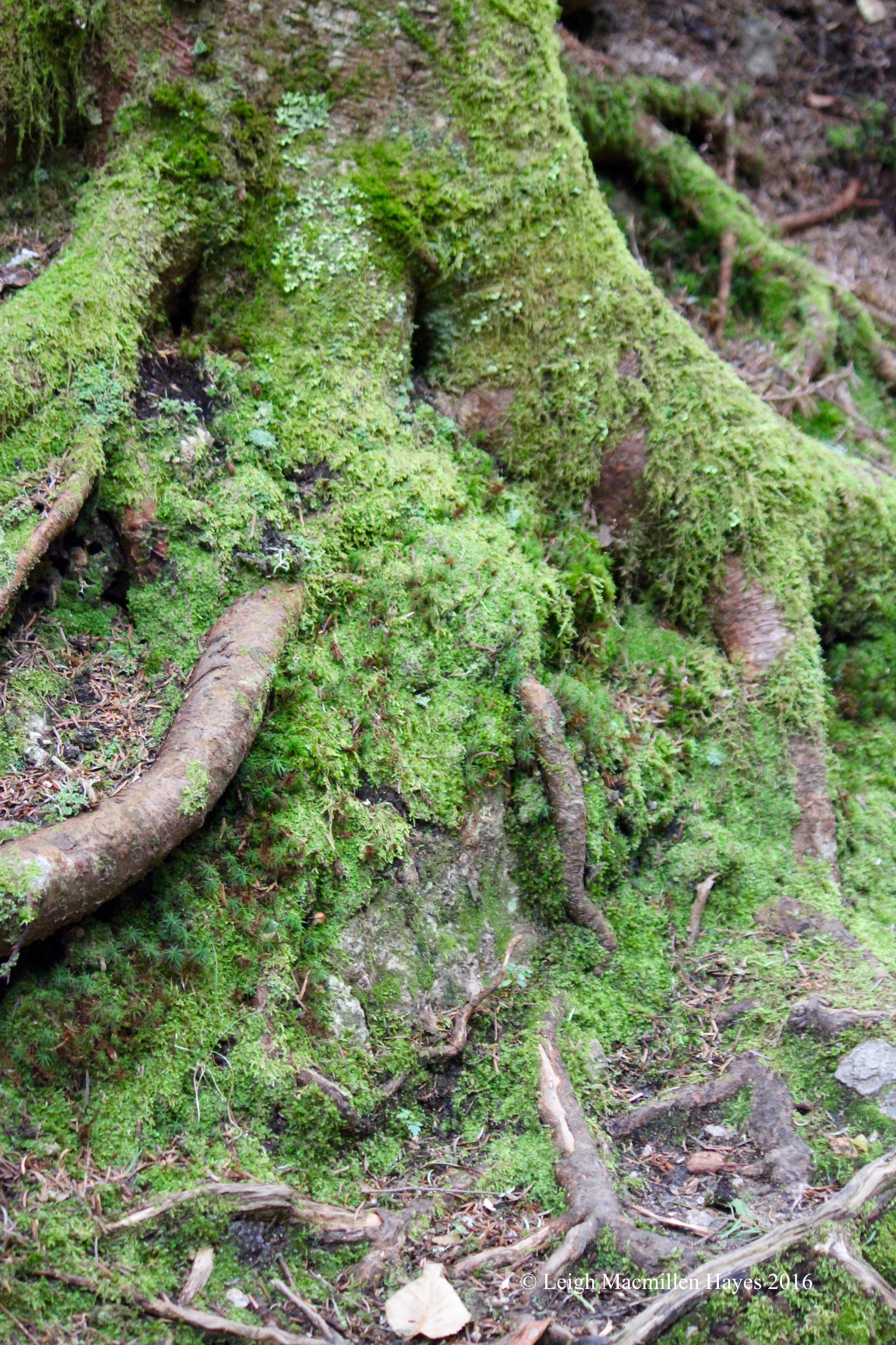
Before we left, we had another challenge: to find something that reminded us of the maze we’d just journeyed through–and in many ways the pine tree’s route system seemed to provide a map.

31-Alpaca

We also needed to pay homage to the alpacas who now call this place home and in their own way bring us back in time. The earliest evidence of man at America’s Stonehenge was 7,400 years ago as proven by evidence from a fire pit, and alpacas were domesticated about 5,000 years ago–in South America.

32-Modern day message

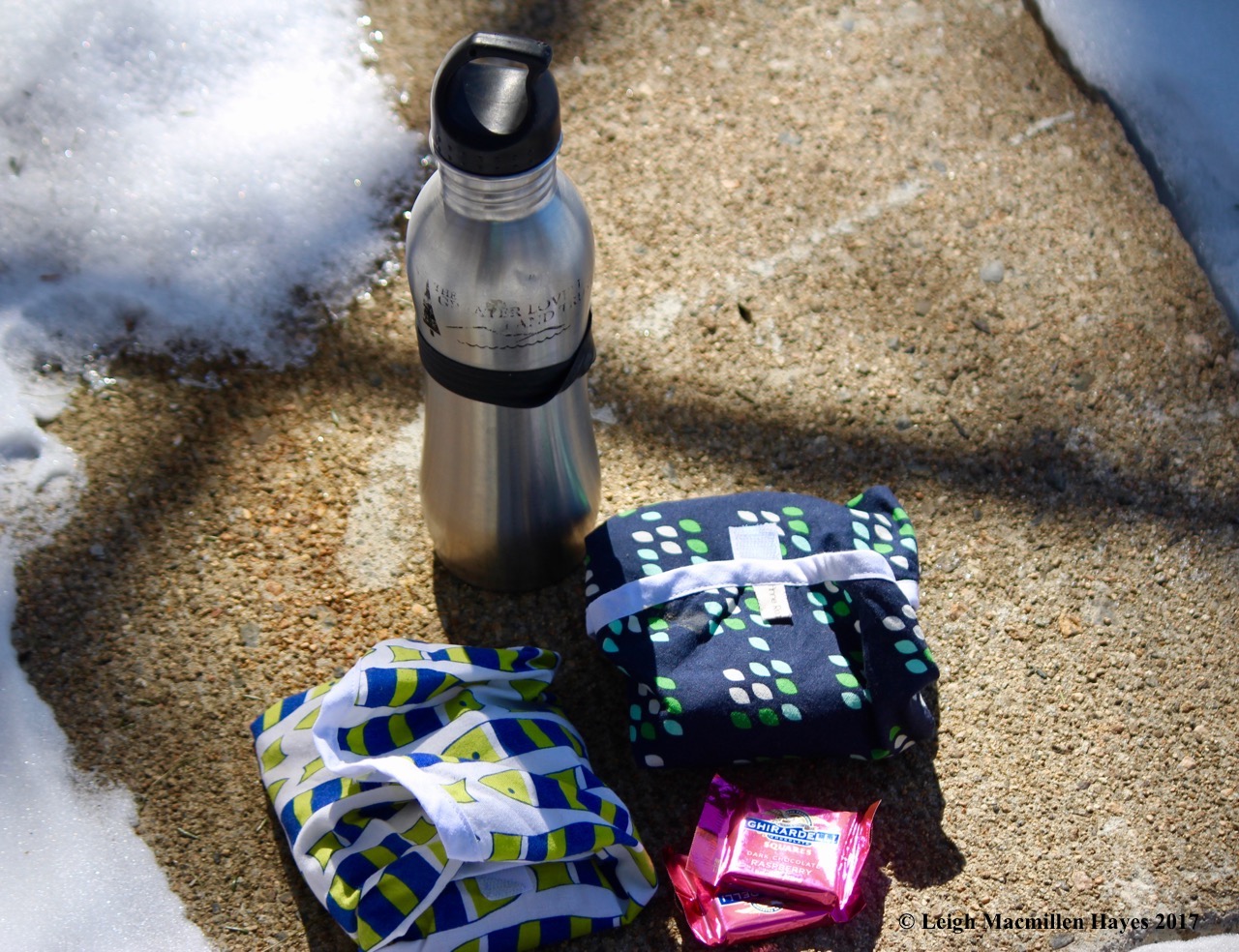
That being said, our final challenge was to find a more up-to-date representation and a message etched onto a rock seemed to fill the bill.

34-Astronomical Calendar and contour model

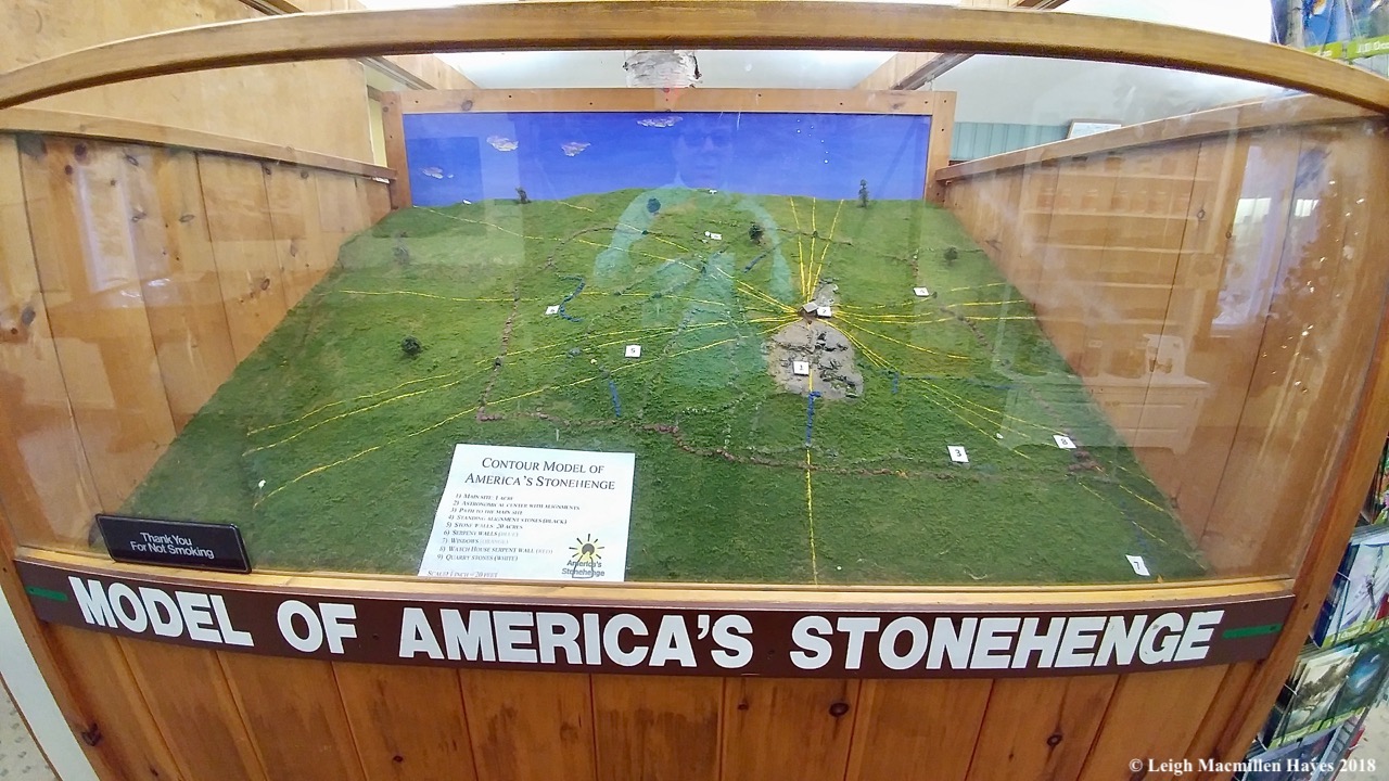
Back into the museum we journeyed and imagined ourselves into a contour model of the property with yellow lines representing the various astrologically important dates and sight lines. We’d also learned that a line can be drawn directly from America’s Stonehenge to England’s Stonehenge along the Solstice.

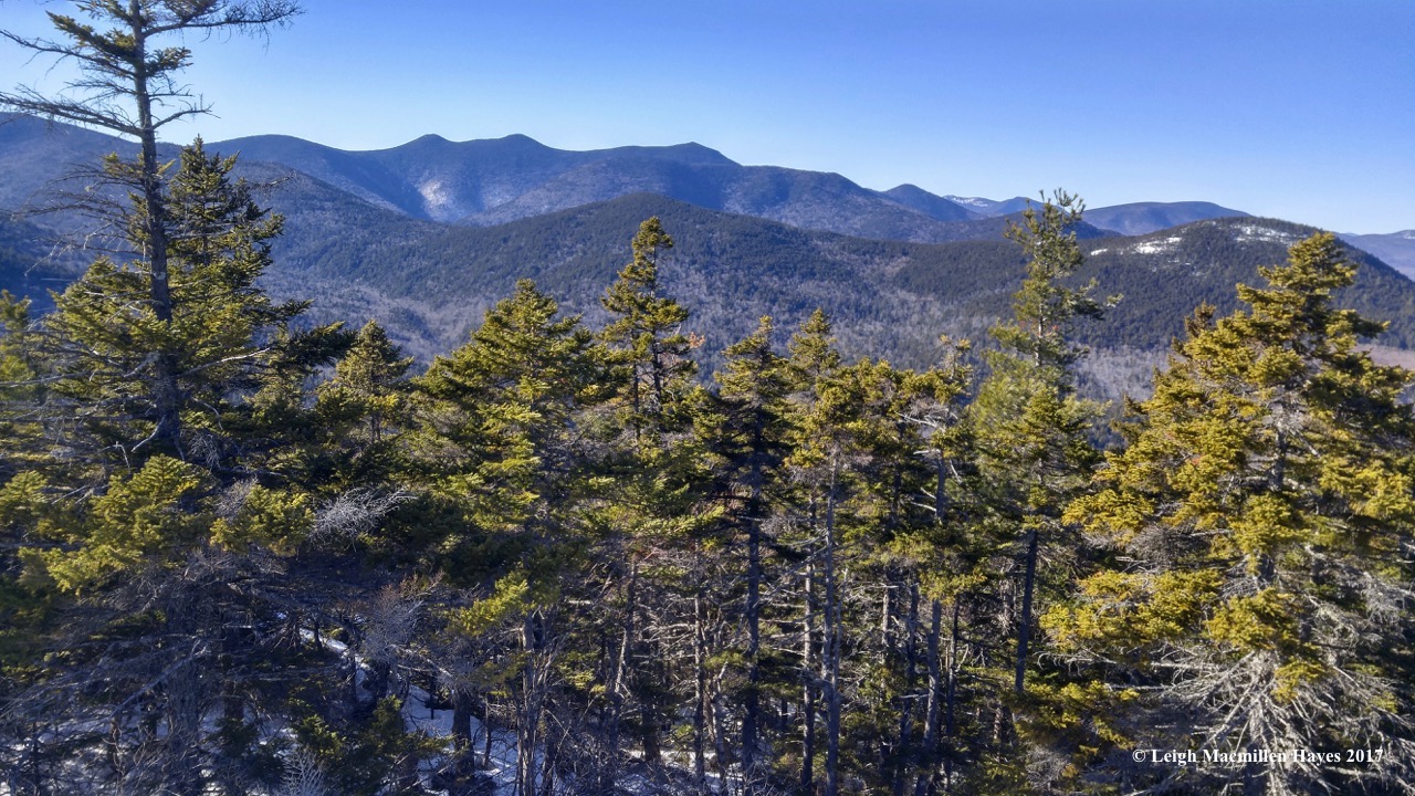
When our time was done, we were more than wowed. And had a lot to absorb about our learnings.

But, we were in a race and as quick as we’d wanted to be, we feared we were too slow.

Team Speedy, however, apparently went way off course when they turned onto Route 25. They were the last to cross the mat and have been eliminated. (Quietly we were heard to  mutter: YES!)

Team Purple won this leg as she has done several times even though she’s solo. And still sporting her sandals despite the colder temps.

We actually placed second today and were thrilled. We’re still in the race!

Only two more episodes to go. It’s down to Team Purple, Team Cape Cod, Team Livermore and us. Who will be the final three? Stay tuned for The Amazing Race–Our Style: episode eleven.

To Pause and Focus

I had no idea what to expect of today’s tramp with two friends as I didn’t even know prior to this afternoon that the trail we would walk even existed. And so I pulled in to the parking area at the end of Meetinghouse Road in Conway, New Hampshire, sure that we’d only be able to walk down to the Saco River about a hundred feet away and that would be the extent of our adventure.

1-Conway Rec Path

But . . .  much to my pleasant surprise I was wrong and in the northeastern corner of the parking lot we crossed a bridge into the unexpected setting.

2-Saco River framed

For the entire journey, we walked above and beside the Saco River. And our minds were awed by the frames through which we viewed the flowing water and boulders.

3-clear view of the Saco River

Occasionally, our view was clear and colorful, the colors now more pastel than a week ago.

5-witch hazel, understory

Even as the colors have begun to wane and leaves fall, we looked up from our spot below the under and upper stories and sighed.

4-Witch Hazel

For much of the time, we were wowed by the Witch Hazel’s flowers–for so thick were they on many a twig.

4a-witch hazel flowers

In fact, if one didn’t pause to notice, you might think that each flower featured a bunch of ribbons, but really, four was the count over and over again.

4b-witch hazel flowers, leaf:bundle scars

And some were much more crinkly than others. One of my other favorites about this shot is the scar left behind by a recently dropped leaf. Do you see the dark smile at the base of the woody yet hairy flower petiole? And the dots within that represented the bundles where water and nutrients passed between leaf and woody structure?

6-spotted wintergreen

And then one among us who is known for her eagle eyes spied a Spotted Wintergreen, Chimaphila maculata, a name that has always made us wonder for its dark green leathery leaves seem far more stripped than spotted. It’s one of those plants with a bunch of common names and so we should try another one on: spotted wintergreen; striped prince’s pine; striped wintergreen; striped pipsissewa; spotted pipissewa; and pipissewa. But perhaps the fact that it’s striped and referred to as spotted helps me to remember its name each time we meet. A sign of how my brain works.

7-spotted wintergreen patch

While we know it to be rare and endangered in Maine, it grew abundantly under the pines on the slight slope beside the river in New Hampshire, and we rejoiced.

8-spotted wintergreen capsules

Its newer capsules were green, but a few of last year’s woody structures also graced the forest floor. Reseeding helps the plant propagate, but it also spreads through its rhizomes.

9-maple-leaf viburnum

Everywhere we looked there was a different sight to focus our lenses and we took photo upon photo of the variations in color of some like Mapleleaf Viburnum (Viburnum acerifolium), a shrub with three-lobed maple-like leaves and small white flowers in the spring that form blue fruits in the early fall and had been consumed, only their stems left to tell the story.

10-red maple leaves

Red Maple (Acer rubrum) leaning over the river offered their own hues that bespoke autumn.

16-platter sized mushrooms

And tucked into a fungi bowl, we found the yellow form of Sugar Maples (Acer saccharum). 

11-Saco River with Moat Mountains in background

Onward we continued with the river to our left, outlined with maples and evergreens, and backdropped by the Moat Mountains.

12-small pond stained glass window

And to our right, a small pond where trees in the foreground helped create a stained glass effect filled with autumn’s display.

13-reflection

And once again, in the pond’s quiet waters reflections filled our souls.

14-turn around trespass

A wee bit further, we trespassed onto private land, and decided to make that our turn-around point as we got our bearings via GPS.

15-trail

Backtracking was as enjoyable as our forward motion. We had been on a trail called the Conway Rec Path, part of the Mount Washington Valley Rec Path, intended for walking, running, biking, snowshoeing, cross-country skiing, bird watching, wildflower viewing , tree study, plus river and mountain views. Kennett High School athletes ran past us and we encountered couples out for exercise. None took their time as we did, but that’s our way and occasionally we ventured off trail because something caught our eye.

9-rock carvings match the waves

Meanwhile, the river continued to flow, as it has for almost ever, and the water continued to carve patterns yet to be seen, but we enjoyed those that reflected its action.

17-old silver maple

Back at the parking lot, we were wowed by a Silver Maple (Acer saccharinum), its girth suggesting an age older than a century.

18-silver maple buds

As had been the case all along the way, we experienced another wow moment when we realized how developed were the flower and leaf buds already. We know they form in the summer, but . . . they looked ready to pop!

19-white-throated sparrow

As we stood and admired, a flock of Juncos and White-throated Sparrows flew from one spot to the next as they sought seeds on the ground. Occasionally, the sparrows paused for a moment.

20-2 white-throated sparrows

And then moved on again.

21-Eagle over Moose Pond

At last it was time for us to move on as well and head for home, my friends’ to their mountainside abode in New Hampshire and me to my humble house on the other side of the Moose Pond Causeway. But as I always do when making the crossing, I looked up.

22-immature Bald Eagle

And was honored by a sighting that pulled me out of my truck. The immature Bald Eagle I’d watched and listened to all summer graced me with another opportunity to view it.

One scene after another, it was a delightful autumn afternoon. Thanks P&B, for the sharing a new trail with me and providing many moments to pause and focus.

Filling Our Buckets Mondate

Our day began with a journey to Green Thumb Farms in western Maine because we were curious about their native blueberry sod. We had hoped to see some, but that wasn’t to be and instead we were given a contact number for a sales rep. Our hope is to purchase a couple of pallets worth and use it as one more filter system at our camp in our continuing efforts to protect water quality. We recently learned that we qualified for a LakeSmart Award, but don’t want that to stop us from finding other ways to create a more lake-friendly property. Stay tuned on the sod because once we figure that out, it will be a story worth telling.

1-lunch spot, Eaton Village Store

From Green Thumb Farms we zigged and zagged along the back roads until we reached Eaton, New Hampshire. Lunch awaited at the Eaton Village Store on Route 153. Inside, one wall is covered with mailboxes and the post office. Grocery and gifty items are displayed in an aisle or two. And then there’s the lunch counter and a few tables for the eatery. A most pleasant eatery. The menu is simple, food fresh, and all served with a smile and conversation.

2-falling snow sign

Oh, and one more thing. They are eternal optimists! Or procrastinators like me. Heck, eventually there will be falling snow to watch for again.

3-Foss Mtn Trail

After lunch, we zigged and zagged again, winding our way up a road we once remember sliding down–in the winter on our bellies with our eight and ten year old sons in tow. Our destination today was much easier, though I did put the truck into four-wheel-drive to reach the trailhead parking lot for Foss Mountain. I’d told my guy about the blueberries and views and neither of us gave a thought to today’s weather for in the newspaper the forecast predicted it to be “rather” cloudy, “rather” being a rather unscientific term. It turned out to be more than “rather.” And raindrops fell, but still we went.

4-Foss Mtn Map

We examined the sign and my guy was thrilled with the possibilities.

6a-no picking

Some fields, however, were closed to public picking for a private operation leased those from the town.

5-Ryan Bushnell Blueberry Operation

Off to the side, we spied their sorting machines. Note the blueberry color of the equipment.

6-blueberry envy

And the abundance of blueberries.

7-hands in pockets

After testing a sample to make sure they were acceptable for human consumption, my guy stuck his hands in his pockets to avoid further temptation.

8-Joe Pye Weed all in disarray

Upward we journeyed, following the path of this property that is owned by the Town of Eaton. Along the way, a large patch of Joe Pye Weed shouted for attention, its petals disarrayed much like my own hair on this misty of days.

9-into the fog

The habitat changed and still we climbed–anticipation in every step my guy took at full speed.

10-pick blueberries sign

At the next natural community boundary, where conifers gave way to saplings and undergrowth, my guy rejoiced. At last we’d reached the promised land.

11-my guy disappeared ;-)

And immediately he stepped off the trail to find those tiny blue morsels that bring him such delight.

12-summit fog

While he picked, I headed toward the summit, where a blanket of fog enveloped the view. It didn’t matter, for our focus zeroed in on what was before us rather than being swept up with the beyond.

14-my guy picking

From my place at the top, I could see him below–a mere speck intent on filling his bags to the brim.

15-erratic

I began to look around and felt an aura that made me feel as if I was in Ireland rather than New Hampshire. The fog. The green. The gray. The world disappeared.

16-more colorful eratic

And the world before me opened up.

17-Common goldspeck lichen (Candelariella vitellitta

Like yellow caterpillars that are all the rage right now, Common Goldspeck Lichen inched across the granite face.

18-granite-speck rim lichen

Beside it, Granite-speck Rim Lichen stood out like tiles in a mosaic work of art.

19-fog danced across ridge

Meanwhile, the fog danced across the ridgeline, twirling and whirling in a ghostly quiet manner, its transparent gowns touching the ground ever so tenderly before lifting into the next move.

19-my guy picked some more

And my guy found a new location and picked some more.

15-steeplebush

My attention turned to the Steeplebush, a spirea that grew abundantly at the summit, its flowers of pink offering a tiny splash of color to brighten any day.

25-American Copper Butterfly

The American Copper Butterfly and a bumblebee also found the Steeplebush much to their liking.

26-American Copper

And I, I couldn’t pull my eyes away from admiring this tiny butterfly and its beautiful markings.

28-American Copper Butterfly

From every angle that it posed while seeking nectar, I stood in awe–those striped antennae, giant black eyes, copper-silver color, and hairy scaled wings.

21-chipmunk

And then there was another, which I thought was a bird when I first heard it scamper out of the bushes.

22-chippie eating berries

But Chippie soon made himself known and I discovered that he, too, sought those little morsels so blue. Competition for my guy.

23-fog lifts a bit

Ever so slowly, the fog lifted a bit and even the sun tried to poke through for a moment or two. Still, my guy picked–somewhere. I couldn’t always see him, but trusted he was in the great beyond.

24-cedar waxwings

Much closer to me, three Cedar Waxwings circled the summit over and over again in a counter-clockwise pattern. Thankfully, they also paused, eyeing the potential for their own berry picking sights from the saplings on which they perched.

24-cedar wax wing bad hair day

I fell in love . . . with their range of colors:  cinnamon, black, gray, brown, red, yellow, and white. And the bad-hair day tufts, for like the Joe Pye Weed, the Cedar Waxwings and I also shared a resemblance.

29-My guy finishing up

At last my guy finished up, though not before standing on a yonder piece of granite, looking west and calling for me. “I’m up here, behind you,” I shouted softly into an almost silent world, where the only sounds came from cicadas and crickets and occasionally the Cedar Waxwings.

30-blueberry caterpillars

As we made our way down, he stopped again for about a half hour to pick some more in a spot he’d noted on the way up. And I looked around, discovering other blueberry lovers among us–Yellow-necked Moth Caterpillars were slowly stripping some bushes of their greenery.

35-blueberries!

At last we passed by the forbidden fields, where my guy later confessed he felt like we were in Eden.

31-Burnt Meadow Blueberries in operation

Ryan Bushnell of Burnt Meadow Blueberries was at work, raking and sorting the sweet morsels of blue.

32-Blueberries!

It was his business to make sure each pint would be filled by day’s end.

33-Filling the buckets

We wanted to chat with him more about the operation, but he was intent upon working and so after the initial greeting and a few more words, we knew it was time to move on. Mr. Bushnell’s buckets would be filled over and over again. (And I suspected that upon seeing this operation, my guy, should he ever decide to retire from his hardware business, may just ask to work in the field–the blueberry field.)

Our buckets were full as well–for my guy, it was bags of blueberries to freeze for future consumption. For me, it was all that I saw as I poked about the summit, thankful that I wasn’t distracted by the 360˚ view. We did indeed fill our buckets on this Mondate.


Mondate Made for Ducks

We didn’t know what we were going to do when the day dawned in all shades of gray.  With the forecast suggesting thunderstorms in almost any hour, we decided it wouldn’t be a day for boating or hiking.

w1-Wolfeboro

Finally, after chores, errands, and lunch, we drove a wee bit west and then south to Lake Winnipesaukee, my old stomping grounds of almost forty years ago. On the way, we passed through variations of the same theme: gray skies, gentle raindrops, flash downpours. But when we arrived, though the raindrops still fell, blue sky and a slew of clouds offered a beautiful mottled reflection upon the water’s surface.

w2-Wolfeboro sign

We’d decided to explore Wolfeboro, New Hampshire, a town with a year-round population not much bigger than our own. Like all resort towns in New England, however, it swells in size during the summer months. The same is true here in Maine. And on rainy days, the downtown is always full.

w3--approaching the water

Despite all the tourists, the locals do like to hang out at their favorite spots.

w3-mallard looking down

And check on all the action.

w4-on the dock

Some prefer to preen.

w5-reaching under the wing

Can’t you just feel the goodness of this action–grooming those feathers to keep them in the best condition?

w6-even deeper under the wing

With so many feathers to cope, whether to moisturize with oil to keep them flexible and strong, to align for waterproofing and insulation–especially against the heat of the summer sun, to arrange aerodynamically for future flights, or to remove parasites and body lice that may carry diseases, it’s all part of a day’s work on the waterfront.

w7-in the lake

Even those in the water, both mallards and American black ducks, were not immune to the action of the hour.

w8-taking a bath

In order to reach every feather and nibble or stroke it from base to tip to get it aligned just so, ducks become contortionists as they assume odd positions.

w9-shaking it off

And after, they shake, shake, shake, their feathers falling into place as if according to a greater plan.

w9-meeting Daffy

As the rain subsided and sun shone forth, we did a bit of nibbling ourselves, on ice cream cones. It turned out nibbling on ice cream and any other human food was not allowed for the ducks per signage, but that didn’t keep them from sampling the flora of a nearby park.

w10-nose decorations

One forager in particular, came away with an arrangement that reminded me of the Easter bonnets we used to wear when we were kids. I could almost hear the Irving Berlin song, Easter Parade:

In your Easter bonnet, with all the frills upon it,
You’ll be the grandest lady in the Easter parade.
I’ll be all in clover and when they look you over,
I’ll be the proudest fellow in the Easter parade.
On the avenue, Fifth Avenue, the photographers will snap us,
And you’ll find that you’re in the rotogravure.
Oh, I could write a sonnet about your Easter bonnet,
And of the girl I’m taking to the Easter parade.

w12-into the hardware store

We left that parade route and made our way through town, pausing as one might expect at the local family-owned hardware store. Of course, my guy felt right at home and spent some time chatting with the owner as they compared products and store layout.

w12-view out the window

I admired the view of the birdhouses on a sill.

w13-signs about town

Back on the road, we noticed one beautiful garden after another in front of each shop and some bore signs worth sharing: May Peace Prevail On Earth. Indeed.

w13-rain

Eventually, the sky opened again and sent forth its refreshing goodness. We’ve been in need of rain as we’ve been experiencing a moderate drought and so celebrated the nourishment it brought to the earth and us as well.

w15-rainsdrops and blue sky

Then, with a mad dash, we ran back to the truck, noting the rain drops juxtaposed against the blue sky.

w16-duck salad

It was certainly a Mondate made for ducks, especially those who liked to wear their bonnets made from foraged salad on their bills.


Mondate of a Rare Type

Aha. So our Mondates are hardly rare, though we don’t spend every Monday on a hiking date. What, therefore could the title mean?

d1

Follow us down the trail at the Dahl Wildlife Sanctuary in North Conway, New Hampshire, and I think you’ll soon understand. The property is owned by NH Audubon and located adjacent to LL Bean, though the parking is in a tiny lot across from Burger King on Route 16.

d2

It’s not a long loop, but it’s chock full of wildflowers like the Black-eyed Susans beginning to burst open into rays of sunshine.

d3

We also passed an abundance of shrubs such as Staghorn Sumac and my mind raced ahead to a future visit with Michael Cline’s book, Shrubs of the Northern New England Forest.

d16a-silver maple floodplain

Because we were near the Saco River, part of the loop took us through a Silver Maple floodplain where the trees arched above in cathedral formation.

d17-ostrich fern

In the same habitat, but at waist level, Ostrich Ferns grew in their vase-like fashion..

d18-Tortricid Moth gall

And among them, growth of another kind was apparent for possibly a Tortricid Moth had used the terminal part of the fern’s frond for its larvae to feed and pupate.

d5-Saco River

Stepping out of the forest and into the sunshine, we suddenly found ourselves beside the Saco River, where we looked north.

d4-Saco River

And then south. A few kayakers passed by, but for the most part we were alone.

d4, spotted sandpiper

In reality, we weren’t for a solitary Spotted Sandpiper explored the water . . .

d7-spotted sandpiper

and cobbled beach,

d23-sanpiper foraging

where it foraged for insects, small fish and crustaceans.

d8-silver maple samaras

Silver Maple seeds were not on its grocery list and they sat in abundance along a high water mark, waiting in anticipation . . .

d9-silver maple saplings

to join their older siblings and create their own line of saplings next year.

d10-South Moat

After standing at the water’s edge for a bit longer and enjoying the ridgeline view from South to Middle Moat Mountains, it was time to search for the rare finds that brought us to this place.

d24

The first was a clump upon a small sand dune–Hudsonia tomentosa.

d25

One of its common names is Sand False Heather, which certainly fit its location and structure. This mat-forming plant had the tiniest of flowers, but it was by its heathery look that I spotted it. It’s listed as rare and threatened in New Hampshire.

d15-silverling

While I only found two clumps of the heather, the second rare plant featured a larger colony.

d12-silverling1

Paronychia argyrocoma is also listed as rare and threatened in New Hampshire (and extremely rare in Maine).

d13-silverling

Also known as Silvery Whitlow-wort, it prefers the ledges and ridges of the White Mountains and . . . gravely bars along rivers. Its whitish green flowers were ever so dainty.

d14-silverling3

From a side view they were most difficult to see for silvery, petal-like bracts hid their essence.

After those two rare finds, my heart sang . . . a song that had started a couple of hours earlier when my guy and I dined with my college friend, Becky, and her daughter, Megan. Another rare and delightful event.

They say three times is a charm and I certainly felt charmed for this rare type of Mondate.


Lichen Province Brook Trail

My guy completely surprised me this morning when I asked where he wanted to hike and his response, “Province Brook Trail.” Though we’ve travelled many trails repeatedly, he often prefers to explore a new place. Me–I love those repeats for there’s always something new to see, as well as the familiar.

p1-trail sign

From South Chatham Road in South Chatham (pronounced chat-HAM), New Hampshire, I turned onto Peaked Hill Road, which leads to the trailhead.

p2-gate closed

And quickly parked the truck for the gate was still closed. That meant an almost three-mile hike to reach the trailhead. We didn’t mind as it’s a Forest Service Road and easy to walk upon, even as it gradually climbs.

p3-trail sign

Along the way, we noted where some of our favorite bear trees were located, but decided to leave them for another day. Instead, we were eager to move on and hoped to be able to get to the shelter. We weren’t sure what the water conditions might be, so promised ourselves only Province Pond. The shelter would be icing on the cake if we got there.

p4-tree spirit

Right away, the trail’s tree spirit whispered a welcome.

p6-yellow birch

And another of our favorite trees begged to be noticed again. It’s an ancient yellow birch that has graced the granite for more than a century. The tree itself, wasn’t in good health, but the roots atop the rock were still dramatic.

p7-split rock:heart

Conditions were different on the trail than the road, and though it’s a wide space used by snowmobiles in the winter, we had to watch our step for we encountered snow, ice, rocks and mud. But one rock was especially appealing and I’m not sure we’ve ever seen it before. A perfect split revealed a heart tucked within. As it should be.

p8-slow down

Onward and upward, we heeded the sign.

p9-lunch rock

And then hunger overtook our desire to wait until the pond, so we found lunch rock and enjoyed the feast we’d prepared. PB&J topped off with a Clementine and Extra Dark Chocolate Truffle, with water to drink, of course.

p23-Province Brook

Province Brook rushed past while polypody ferns provided a head of hair atop one of the boulders.

p10-moose tracks

After lunch, we had a wee bit further to travel before reaching Province Pond. At the dam, our excitement heightened for we discovered moose tracks in the snow.

p11-moose tracks

And more in the mud.

p12-Mount Shaw and Province Pond

Before us, the pond and Mount Shaw created a pleasing picture. We listened to the wood frogs wruck, though we couldn’t see them. Nor could we see any moose, but we hoped.

p13-Mount Shaw reflection

As usual, I got hung up on the reflection of the mountain and the subtle colors of spring, which was about a week later than back down the road.

p14-me

As I stood on the dam built to prevent beavers from creating their own, my guy took his first ever iPhone photo. I had to chuckle for it was the same view of me that I typically get of him. And do you notice who carries the pack–on the way up when it’s the most full with lunch and water? He always gets it for the descent, which works for me.

p14a-looking toward the shelter

From the dam, we looked across the pond toward the shelter, a tiny speck of roofline almost visible on the far shore, just right of center. And still we wondered, would we be able to get there?

p15-leatherleaf

Before trying, I noted leatherleaf with buds. Within a month, I suspected those tiny buds will become bell-shaped flowers.

p15a-sweetgale

Beside the leatherleaf, the overlapping burgundy and white scales of sweetgale catkins provided a delightful contrast beside the sky’s reflection on the water.

p16-shelter

We moved on, following the trail to the hut–and made it, the water we needed to cross over not being high at all. Built in the 1930s, the shelter has many stories to tell, and my guy read a few of them.

p17-shelter view

We’d actually saved our dessert, our form of icing on the cake, and so enjoyed the view as we finished lunch.

p18-lungwort on tree

On our way back down the trail, the brilliant green upper leaf of lungwort drew my attention as it has always done. The bright green was due to yesterday’s rain, which set the algae into production. The underside was pale with pockets of cyanobacteria, known as blue-green algae. Though it’s named for its resemblance to lung tissue, it does have a lettuce-like look. According to Lichens of the North Woods by Joe Walewski, lungwort is “found in rich, unpolluted and often very old forests.” Bingo!

p19-lungwort on ground

What surprised me was that we found some on the ground, this batch on snow. Moose have a preference for lungwort. Had they pulled it off a tree?

p20-lungwort apothecia

More surprising was that some had apothecia, its spore-producing structure. Do you see the tiny tans specks along the lobe margins? It’s uncommon to see these and was a first for me. Typically, lungwort reproduces by granule-like masses called soredia that form on the surface, break off, land on a suitable substrate and grown into new lungwort lichens.

About nine miles round trip and our journey was completed. Old joke, but I can’t resist for I was lichen the Province Brook Trail from the start and it just kept getting better and better.


Climbing Higher Mondate

The old adage, “If at first you don’t succeed, try, try again, ” could be aptly applied to the first part of today’s hike for we’d tried to locate the Millard Chandler Feldspar Mine (aka North Star Mine) in Evans Notch two weeks ago but missed a turn along the way. This time, we made sure to pay close attention as friends had given us specific directions.

e1--making the left turn at the National Forest Boundary

As they’d told us, we remembered to turn left at the National Forest boundary and followed the line to the base of the mountain, breaking trail all the way.

e2-first ice formation

Eventually, we realized we were on an old cart path and followed as it zigzagged up. And then we reached a boulder covered in ice. Don’t get me wrong–I love the relationship of rock and ice, but . . . was this what we’d climbed up to see?

e3-looking for more

My guy peeked around the corner and encouraged me to follow.

e4-climbing higher

The first rock with ice was a tease and he could see what he thought was the mine up above. And so we climbed higher.

e6-mine 2

Voilà. At last we found the actual mine. Can you see my guy? His height provided perspective.

e7-sense of height

He stood in awe before the fountain of youth frozen in time.

e9-looking upward

My eyes were drawn skyward to the chandeliers that dangled above. My guy did urge me to move out of the way for he feared one might come crashing down.

e14-chandelier

But I took one more photo before heeding his words of caution.

e15-fallen ice

We noted that some had fallen previously and sat like broken glassware upon the mine floor.

e10-icicles up close (snowfleas as well)

Even the snowfleas or spring tails wanted to be part of the display. Do you see them? The little specks that look like black pepper?

e11-dike 1

I was so taken with the ice sculptures that I almost forgot about the mine itself. Millard Chandler was a descendent of one of the founding families of Chatham, New Hampshire, where the mine is located. Originally, it was mined for mica. From a Geological Survey Professional Paper, I learned that prior to World War II it was mined for feldspar by the Whitehall Company, Inc.

e12-icicles

Today, the only mining that took place was initiated by the water and we could hear it trickling under the ice.

e16-christmas fern

It seemed, however, that there wasn’t enough water as a Christmas Fern struggled to survive.

e13-junco prints

Finally, we followed the Junco tracks and made our exit.

e19-leaving the mine

It was almost like a different world awaited us outside the mine.

e21-Leach Link Trail sign

From there we drove back down Route 113 to Stone House Road and ate a quick lunch in my truck before heading to the trailhead for the Leach Link Trail that follows Cold River.

e22-bear claw marks

It seems like every time we visit this area we find evidence of the bears who live here. Notice the nail marks on the sign. Typical behavior for a black bear–to attack something in the woods that is different than the norm. Not only do they like telephone poles, but trail signs often take a beating as well.

e23-hemlock crack

Again, we had to break trail, which we took turns doing because the snow was deep enough to tire us out. For the most part, we passed through a hemlock and spruce forest. I’m always amazed at how a hemlock tree tries to heal a wound left by a frost crack. Just like my snow pants absorb the sun’s heat, the dark bark of the trees also absorb sunlight, but they don’t have a heated home to return to once night falls and temperatures plunge. I understand how the constant thawing/freezing cycle creates cracks–but I don’t understand why the hemlock portrays the squiggly line, while frost cracks on other trees tend to be much straighter. Then again, all tree species have their own patterns and idiosyncrasies. Maybe I just have to accept that this is the way it is. And move on.

e23-snow aprons

We did. But I stopped our forward movement again. Snow had piled high at the base of the trees following the two snowstorms we received this past week. At first, it appeared that the aprons the trees wore were on the north side. But then, in one grove it seemed obvious that my theory had been proven wrong for some aprons faced west and others east. Oh well.

e26-chester dam

Just over a mile later we reached the Chester Memorial Bridge by the AMC camp. The bridge was given in memory of Mabel Chester, one of the camp’s founders.

e27-Cold River flowing south

Cold River flowed south below the dam. And we turned east.

e29-My guy at the summit

We hadn’t intended to, but ended up hiking to the summit of Little Deer Hill. Our visit was short because it was there that the northwest wind slapped our faces and tried to whip off our hats.

e29-Baldfaces

A few photos and then we quickly descended back into the forest, where we couldn’t feel the wind’s force to the same degree. We practically ran as we followed the trail we’d previously carved.

e30-stop ahead

It seemed like time passed quickly as we reached the snowmobile trail once again and saw the sign reminding us to stop ahead. The truck was parked near the trail’s stop sign and our trip was done.

e5-mine 1

We enjoyed the afternoon hike, but as we reflected on our day, it was the mine that will stand out most in our minds. Thanks to Linda, Miriam, and Dave for providing us with the incentive to visit and correcting our directions.

Climbing higher on this Mondate was certainly worth it.


Snow White Magic

Our first official snow storm of the season left us with about an inch of the white stuff that makes me rejoice. And upon waking this morning and peeking out the window, the sight of porcupine tracks looping around the yard brought a smile to my face.

m-porcupine trail 1

I love the first snow storm for even though I have seen signs of the critters that pass this way, their tracks confirm my convictions. Over the years, I’ve come to recognize the prints and trail patterns, but as the snow gets deeper the tracks sometimes become more difficult to decipher. This one was easy due to its pigeon-toed sashay.

m-porcupine prints

And then the individual prints, especially those that crossed the deck, showed the large foot pad and five toes with nails extended. A friend in Poland, Maine, sent me a couple of photos of the critter that crossed her deck this morning. She ID it herself, but wanted confirmation–for it was an opossum and a first for her.  I found my first opossum prints last December and wonder if I’ll have that opportunity again. Anything is possum-able.

m-worm and junco prints

Since the porcupine had drawn me out (and I noted that it disappeared under the barn–of course), I decided to head off into the woods. But before I left the yard, I spotted junco tracks–and . . .

m-worm

a couple of worms–frozen upon the snow. Juncos don’t eat worms; they look for fallen seeds. And so it seemed that the bird flew off before quite reaching the C-shaped worm. And this other worm was about a foot away from the first worm. Robins were in the yard last week, and I can only hope that they returned today for a frozen dinner awaited.

m-snow art 2

Into the woods I trudged, and the ever-changing colors and designs at my feet reminded me of works of art.

m-snow art 1

Some were palettes of mahoganies juxtaposed against white. A variety of textures gave the scene relief, much like an inlaid mosaic.

m-snow art intersections

Others embodied interconnections; a mingling of lines outlined for emphasis.

m-rock people

Along the cow path, I noticed the rock people for the first time, their mouths gaping open.

m-snow fleas

The minute snow fleas would hardly sustain them.

m-morning light

As it does, my trail crossed the line, where power seemed to originate with its source . . . the sun.

m-Mount Washington

And in the opposite direction, it flowed from pole to pole and onward . . . as if powering the mighty mountain.

m-pine sapling

My journey continued into the land of the pines and their saplings, momentarily coated with decorative baubles.

m-mini oaks

And the red oak saplings I’ve been watching looked more festive than ever.

m-squirrel tracks

I was on a mission and soon found what I was looking for. Some tracks that looked like exclamation points led me to another source of sustenance that I wanted to check on.

m-squirrel cache growing

The red squirrel’s cache had grown taller in the past week, but . . .

m-squirrel dining room

many pine seeds had been consumed in the refectory. All that remained were scales and cobs to show a number of dinners consumed.

m-squirrel rocks

The dining hall extended beyond the reaches of the cache, for every table available was a table used.

m-squirrel dinner in the future

As I walked back toward home, I discovered another table awaiting a guest.

m-beech sunshine

I was almost home when I stood under a beech tree. As winter embraces me, I find that their marcescent leaves create their own golden glow and warm my soul.

m-British soldier

One more sweet peek offered a tiny touch of red to today’s fading winterscape–for the British soldier lichens’ red caps announced their minute presence.

m-snow drops

And then this afternoon, I joined a few friends for a gallivant across the Wild Willy Wilderness Trail beside Province Brook in South Chatham, New Hampshire. And the snowdrops created their own works of art announcing that the meltdown was on.

m-pinwheel 1

As we walked, we noticed delicate parasol-shaped fungi fruiting.

m-pinwheel gills

Their common name is Pinwheel Marasius, but in my mind the shape of the umbrella-like top above the wiry stem looked like a parasol and so I called it such. But to add to the confusion, I first called it carousel. Word association might get me there eventually, but it wasn’t until I looked it up in Lawrence Millman’s Fascinating Fungi of New England, that I realized my confusion. One of the fun facts from Millman is worth quoting: “Resurrection! Shriveled and inconspicuous, Marasmius species are rarely noticed during dry weather, but after rainy periods the tiny fungi revive–hence the nickname ‘resurrection fungi.'” And if not rain, then snow will make them rise again!

m-liverwort magic 1

The water from the melting snow highlighted other lifeforms along the Wild Willy Wilderness Trail. Bazzania liverwort grew abundantly, but one in particular gave us pause . . .  for it glowed. And no matter what position we stood in to look at this worm-like beauty, it continued to glow as if it had a golden halo surrounding it. We had no answers–only questions and wonder.

m-glue fungi

Another find that had been marked with tape, for it too was special–a broken branch attached to a young tree. I’m stepping out on a limb here–pun intended, but I believe this was an example of a glue crust fungus that glues twigs together. Seriously? Yes.

m-Bob, Janet and Pam

It was getting dark when we finally found our way to Province Brook and marveled at the water and ice forms. It was also getting close to the moment when we’d need to say, “See you later,” to Bob and Pam, for they’ll be heading to warmer climes soon. But we know they’ll be back for a winter adventure and then before we know it, spring will be here. And then, we hope the brook will be full with spring run-off from all the snow that is in our future. Until then, see you later we also said to much of the snow for it had almost disappeared.

m-ice works 1

But the ice art will continue to grow.

m-Province Brook 1

And the snow white magic will capture our minds again . . . one flake at a time. And with it, the wonders of the world will continue to be revealed.


Marathon Mondate

As he’s done every year for the past however many, my guy is training for the Moose Pond Half Marathon, a race around Moose Pond in Bridgton and Denmark that supports the Shawnee Peak Adaptive Ski Program. The race is only two weeks away and so this morning he headed off to run ten miles. And afterward, he said he felt like he could have run the additional 3.1 miles that would complete the race. That being said, we headed west to join our friends, Pam and Bob, on a hike at a new preserve in New Hampshire.

The plan was to meet at the trailhead near Hurricane Mountain Road on the Chatham/Conway town line. We knew the road, but not the spot, and were racing to get there, so of course I drove right by. But . . . I spied Pam sitting in their car in the parking lot and probably burned some rubber as I came to a screeching halt and then quickly put the truck into reverse. Fortunately, my guy didn’t get whiplash. It’s a back road, so not well traveled, thus I could drive backwards for a hundred feet or more without any problem–thus is the way ’round these parts. And one of the reasons we love it so.

m-sign 1

Another is that local land trusts preserve land for the benefit of the species who call this place home, both flora and fauna–and for us so that we, too, may benefit from time spent tramping along trails, making discoveries and forging friendships. The preserve we visited today isn’t quite open, but Pam said she’d heard they plan to open on November 4th. There were no signs on the kiosk or trail maps, but we quickly learned that none were necessary for the route was easy to follow. We were at the Monroe-Lucas Preserve, a 62-acre property donated to the Upper Saco Valley Land Trust.

According to their website: “The land was given to USVLT by Barrett Lucas in honor of his wife, the late Leita Monroe Lucas. Leita’s family has deep roots in East Conway and Redstone, and her father, Ernest “Red” Monroe, also wanted to see the land preserved. Adjacent to the Conway Common Lands State Forest, The Nature Conservancy’s Green Hills Preserve, and the White Mountain National Forest, this parcel builds on an existing network of preserved land, and has wonderful opportunities for future trail development and increased public access. A branch of Weeks Brook also runs through the property, and the property lies within USVLT’s ‘Green Hills’ focus area. The site is also remarkable as the one-time summer residence of the American Impressionist painter Thomas Wilmer Dewing, and his fellow painter and wife, Maria Oakey Dewing. Their cottage, built in the late 1800s, fell into disrepair in the mid-1900s. Now only the chimney remains onsite.”

m-puff ball fungi 1

With Pam in the lead, we started up the trail and within minutes the fun began. She spotted a large patch of puff balls begging to be poked. The spores wafted up and away with hopes of finding the perfect place to grow nearby. We assume they will be successful, for within a fifteen foot area, we found patch after patch and knew we weren’t the first to encourage their spores to blow in the breeze.

m-bobcat print

And then Pam began to spy prints in the mud. First, a moose. Then this bobcat–if you look closely, as we did, you may see the hind pad matted down; above that a raised ridge in the form of a C for cat; and four large toes, the two in the center being asymmetrical. Because it was a muddy substrate, we even saw nail marks, especially above the two center toes. Five feet further, we found deer prints. And so we rejoiced in the foresight of the Monroe-Lucas family to protect this land.

m-Weeks brook flowing 1

A bit further on, we heard the brook before we saw it–a branch of Weeks Brook that borders the property. We all stood beside and let it mesmerize us.

m-weeks brook 1c

We thought about its forceful action each spring and the eons it took to carve into the rocks along its banks.

m-weeks brook baths

We shared visions of a summer day spent sliding down its smooth channels and slipping into the pools below.

m-weeks brook between the rocks

And we marveled at the way it split the granite above . . .

m-weeks brook between 3

and flowed between the shelves.

m-weeks brook bubbles

All the while, it raced to the finish line and we could only assume it made good time.

m-hobblebush flower?

It was beside the brook where the hobblebush grew prolifically and offered a myriad of colors among their leaves and clasping or clapping hands among their buds. Because we were looking, we noticed one flower forming into its globe shape as it usually does in late winter. Was it confused?

m-hobblebush new leaf

And on another, a new leaf.

m-hobblebush 2

Fortunately, most behaved as they should and gave us an autumnal display worth celebrating.

m-hobblebush:hemlock shadows

One even added some shadow play.

m-mount kearsarge

Eventually, we turned away from the brook and followed the trail down. A peak through the trees and we could see Mount Kearsarge across the way.

m-slime mold 1

On a tree stump, we found a couple of fascinating fungi including a slime mold all decked out for Halloween.

m-jelly fungi

And on the same stump, a display of jelly ear fungi.

m-old moose scat

Around the corner was more evidence of moose traffic, though since it was moss-covered, we decided it was a couple of years old. None of us could ever recall seeing moss grow on moose scat before, but it made perfect sense that it would be a suitable substrate. I did wonder how they’d categorize that on a moss ID key–grows on rock, tree, ground, moose scat?

m-pippsisewa

Our moments of awe weren’t over yet. We sent up three cheers for the pipsissewa and its seedpods (Bob, did you take one?),

m-red-belted polypore

and red-belted polypore.

m-frullania 2

And then Bob spied the frullania. The smaller, spider-webby display in the lower right hand corner is Frullania eboracensis, a liverwort with no common name. But the larger mass is known as Frullania asagrayana, so named for a botanist and natural history professor at Harvard University from 1842-1873–Asa Gray.

m-frullania

We all went in for a closer look at its worm-like leafy structure.

m-frullania and muy guy

Even my guy got into the act, much to his reluctance. And he was certain he didn’t need a lesson on how to use a hand lens. Thankfully, he doesn’t read these blog posts, so I can get away with this. Shhhh.

m-uprooted pine 1

Around the next bend, for the trail has enough S curves to make the descent easy, we came upon a white pine long since uprooted. Did anyone hear the crash?

m-uprooted picture frames

It offered a wonderful view–of more red-belted polypores, the root system and rocks, plus several windows on the world beyond.

m-photo frame hand

If you go, watch out . . . Thing of The Addams Family, might be lurking about.

m-Pam holding a huge striped maple leaf, Bob photobombing

Continuing on, we moved out of the hemlock and pine grove and back into the land of the broadleaves, including one with the broadest of them all–a huge striped maple leaf that Pam spotted; and Bob made sure to photo bomb the Kodak moment.

m-cottage sign 2

And then, as the trail evened out, we crossed a narrow gangplank to the location of the original cottage. According to a sign posted there, “Thomas Wilmer Dewing (1851-1938) and Maria Oakey Dewing (1845-1927) were 19th century American painters based in New York City. Maria often painted flowers and garden scenes, while Thomas is known for his figure paintings of aristocratic women, notably ‘Lady in Yellow’ hanging at the Isabella Steward Gardner Museum in Boston. The couple spent their summers at a popular artists’ colony in Cornish, NH, during the early 1900s. The Dewings also lived and painted in a cottage located here on the Monroe-Lucas Preserve for several years.

m-site of Dewing cottage 1

All that’s left is the chimney.

m-cottage stove

And some artifacts.

m-toilet

Including the john.

m-pokeweed

Our final view was a pokeweed still in flower and fruit. Again, we wondered about its timing, while appreciating its offering.

With that, we were back at the parking lot, where Bob informed us that our distance was just over a mile and time two hours–hardly record breaking. And hardly a “quickest to the destination hike” for my guy, but he kept finding stumps to sit upon as we gazed more intently on our surroundings; I think he secretly appreciated our slow pace and the opportunity to rest his legs.

If you want support his effort to raise funds for the Shawnee Peak Adaptive Ski Program, stop by and see him. Any and all donations are most welcome.

Wild Willy Wandering Wilderness

There are times when one wanders down a trail and a certain spirit seems to swirl about in the silence of the wilderness. Such was the feeling today as my friend, Joan, and I joined two other friends to explore their land in South Chatham, New Hampshire.

k-Pleasant Mtn

Before we ventured forth, however, we sat upon their deck and enjoyed the view of my hometown mountain–the ridge of Pleasant Mountain, this being a backside view.

k-sensitive pea 2

And then we paused by one of the wildflower gardens they have created with seeds of unknowns sown at abandon.

k-Sensitive Partridge Pea

Based on its seed pods that split open on both sides, we knew it was in the pea family, but didn’t know its name. Upon arriving home and keying it out, I discovered it’s a sensitive partridge pea, also know as a wild sensitive plant, the perfect tribute to the trail. Notice the pinnately-divided leaves–they fold up when touched, thus the name “sensitive.”

k-three amigos under the arch

Soon after getting acquainted with the sensitive pea, we continued onto the trail that Pam and Bob (the couple on the left; Joan on the right) have carved out of the land, with the help of their nephew for whom they constantly uttered words of praise. One of his artistic offerings to them was an archway formed from beech saplings.

k-steps by Willy

Another offering–steps created from stones found nearby. But where exactly did he find the stones? That remains a secret for so good is his work. It seemed as if the trail had been there all along as it wound its way up and over, down and around, passing by landmarks worth pausing by.

k-black cherry

We saw so much, including bark on young trees that we desperately wanted to be black birch (aka sweet or cherry birch), but was really black cherry. Nearby where pin cherry trees that we easily recognized, but this one seemed a wee bit different and we thought maybe, just maybe it was a black birch. But maybe it wasn’t when I opened Michael Wojtech’s BARK later.

k-black cherry 2

And further along the trail we spied a mature black cherry, its bark we knew for the curled chunks that remind us of burnt potato chips.

k-yellow birch

The curls of an old yellow birch also intrigued us and we noted many, many young and a few old members of this family throughout the property.

k-big tooth aspen

It’s a mixed forest and we had fun searching for the big tooth aspen trees, their bark deceptive with a northern red oak look below and birch look above.

k-hemlock and boulder 2

Other landmarks included a hemlock kissing a boulder and . . .

k-Province Brook hemlock root

another with the longest, thickest root we’d ever seen that arched across the land, creating an opportunity for the fairies that live in such an enchanted forest a chance to do the limbo.

k-coyote scat

We discovered what Pam and Bob already knew–it’s more than fairies that inhabit their place. In the middle of the trail, coyote scat presented itself.

k-deer sign

We found lots of deer scrapes, where in previous years they’ve scraped the bark upward to feed on it. But this was a recent visit with tags at both ends of the action, indicating a rub. Deer rub a tree to clean their antlers of velvet–that soft, vascular skin that grows on their antlers. They also rub trees to mark their territory.

k-garter snake1

And our wildest sighting of all–a garter snake enjoying some late afternoon sun. It never moved as we gawked and finally passed by, so really it wasn’t so wild after all. But Pam and Bob shared stories of other sounds and sightings, for this really is a wild land that abuts the National Forest.

k-Province Brook 2

It’s also bounded by Province Brook, where the water’s flow soothed our souls.

k-Province Brook 3

We were embraced by its reflective color . . .

k-Province Brook 4

and life-giving cadence.

k-spirits 1

And it was there that the water spirit . . .

k-spirits 2

rose and embraced us.

k-wood swirls

We found it wherever we went and recognized it in various forms . . .

k-afternoon light 2

as it wandered beside us.

k-sign

Just as we ended our journey, we noticed the sign–Wild Willy Wandering Wilderness Trail. Pam and Bob had told us its name, in honor of their nephew Willis and his hard and creative work in carving out the trail, but they kept the sign a secret until we finished. Hats off to all three of them and their love of the land and for each other. Joan and I were envious of it all and thankful for the opportunity to be embraced by the spirit of this place and these people.


B is for . . .

Our original plan was to hike to the summit of Blueberry Mountain in Evans Notch today,  following the White Cairn trail up and Stone House Trail down. But . . . so many were the cars on Stone House Road, that we decided to go with Plan B.

And so up Route 113 I drove, turning left just before crossing from New Hampshire back into Maine.

b-view from Basin

By the parking lot for The Basin, we pulled out our lunch and set up camp temporarily at a picnic table as we enjoyed the view of the manmade pond and Sugarloaf Mountain before us.

b-basin rim

The Basin is a low-elevation glacial cirque carved out of the east side of the Baldface-Royce range. Though we’ve visited the pond on numerous occasions, we’d only hiked the trails circling it once before. And as we recalled while sharing a brain in the memory department, that had been thirteen years ago when our oldest son was in seventh grade. It was a fine September day and we’d headed off to climb the Basin Trail. At first, we couldn’t find the brook crossing, so eventually we made our own. And, what we didn’t realize that day was that at the top of said trail we should have turned around and descended. Instead, in our ignorance, we’d continued on the Basin Rim Trail, assuming they were one in the same. Not so. Hours later, we practically slid down one of the Royce trails, splashed across another brook, bushwhacked to the road and followed it down as quickly as we could to our vehicle. It was late in the afternoon and we knew that our seventh grader was anxiously waiting for us . . . because it was also the very day that he could receive his school-supplied Apple computer if his parents attended an after-school meeting with him. That was pre-cell phone time in our lives and we didn’t have enough change for the one pay phone at the Stow Corner Store, which happened to be closed. We raced home, found he wasn’t there and while my guy went in search of our younger son, I zoomed to the middle school, sweaty, muddy and bloody (from a few encounters with branches and rocks), to find that my sister-in-law who teaches there had stood in as a surrogate until I arrived. Today we carried a map.

b-trail sign

And knew what Rim junction meant.

b-hobblebush1

As the north wind blew, it felt rather autumn like and added to our memory bank, while also the perfect day for a hike. And the hobblebush berries and leaves showed off their almost autumn colors.

b-trillium 1

Berries were abundant–especially upon red trillium,

b-bunchberries

bunchberry,

b-doll's eye 1

and white baneberry (doll’s eyes–can you see why?).

b-following the yellow brick road

The trail was easy at the  start, switching from roots to stones to rocks before climbing. Since we’d attended Lake Region Community Theatre‘s fine performance of The Wizard of Oz last night and the trail blazes were yellow, it felt a bit like we were following the yellow brick road.

b-hermit fall sign

At about the one-mile mark, we chose the Hermit Falls loop.

b-lower hermit falls

Water poured over the lower falls,

b-Hermit Falls

and from there we spied the upper.

b-Hermit Falls 2

Though a couple of fallen trees crossed the waterway, the view and sound were pleasing to our senses. It was at this point that our climb became steeper.

b-bear tree 1

We spend a lot of time looking down when climbing up, but because we were in a beech forest I knew I had to look–for bear claw trees. And I wasn’t disappointed.

b-bear paw 2

Even in the upper trunk we could see the marks left behind.

b-maple division

And then my guy pointed out another tree he thought I should note–it looked rather like a burl gone bad. We don’t know what happened, but the final result was rather gnarly, and still the tree continued to grow and produced leaves.

b1-boulders

Huge boulders littered the woods as we continued our climb.

b-light at the end of the tunnel

Closer to the summit, the trail followed a rather precarious shelf beside the base of a big headwall cliff–I didn’t take time to photograph it for I was focused on each step, but at last we saw the light at the end of the tunnel.

b-summit which way should we go?

Before stepping out to the viewpoint, we walked ahead to the spot where we’d erred thirteen years ago. Today it’s well marked. In fact, this junction includes five options and my guy took the time to point in each direction. Our choice: to return from whence we’d come–behind us.

b1-summit 1 (1)

At last, we turned back to take in the view from the Basin below us to Pleasant Mountain on our far right. We noted a cloud casting its shadow over Blueberry Mountain and trust we would have been blown off had we stuck with Plan A.

b-summit blue bead garden

Though we’d brought containers to pick blueberries, that wasn’t to be. But at the summit we noted a blue of a different hue, a blue-bead lily garden by our feet,

b-summit mountain ash berries

and mountain ash berries maturing above our heads.

b-velvety fairy fan fungi 1

Finally, we started down. After the initial scramble on the rocks and roots just below the summit, I once again turned my attention to the life around me and realized I’d missed this display of fungi on the way up–velvet stalked fairy fan mushrooms (Spathularia velutipes). They actually reminded me of miniature cowboy finger puppets donning oversized hats.

b-bear tree on way down

And . . . another bear claw tree–this one highlighted with a trail blaze. How sweet is that?

Follow the yellow brick road.

b-back on flat ground

At last we were back on flattish ground and made our usual mad dash out.

b1-deer hill bog 4 (1)

As we drove home, I gave my guy a choice–ice cream at the Stow Corner Store or turn onto Deer Hill Road (actually a road of many names) to the bog and then to Evergreen Valley. He said the choice was all mine and so I chose the latter. And as I knew it would because it always does, it made me want to return when I have time on my hands. I will–that is a promise to myself.

b-bull frog 1

Today’s stop included a chorus of bullfrogs–adding to my list of finds beginning with the letter B.

b-bye

As it worked out, we were glad we followed Plan B.

B is for . . . The Basin and the bog and all that we saw in between.

Thanks for stopping by.

Bye bye!


Nervous Nellie Mondate

Usually my guy asks me to recommend a trail for our Monday hikes. But this weekend he had one in mind. Actually, he wanted to conquer it on Saturday, but I put the kabosh on that plan because of predicted thunderstorms that didn’t develop here. We kayaked instead.

And then I was able to postpone it on Sunday because I thought we should do something more palatable for my left knee as I was recovering from a quirk in it due to training (LOL–two runs but plenty of cross-training activities) before participating in the annual Four on the Fourth Road Race. So yesterday, we drove to Bartlett, New Hampshire, and began our journey on the Langdon Trail with the intention of summiting Mount Langdon. But after meeting one couple on their descent and listening to them talk about the views from Mount Parker, we changed our minds mid-hike and climbed to the summit of the latter. It was a fun hike that at first seemed a wee bit boring (did I write that?) as it followed an old logging trail, but eventually the natural communities began to change and we really enjoyed the climb.

Because we often hike in companionable silence, that climb was filled with voices from so many friends who are currently dealing with a variety of difficulties–physically, mentally, emotionally and spiritually. I chatted with them along the way and lifted them on high at the summit–including those who suffer silently. May they all find a moment of peace in their lives.

But, it had to happen eventually and so today dawned. There were no storms on the horizon and after yesterday’s eight-mile climb, my knee felt fine. Darn. I’d run out of excuses. And so this morning I drove us to New Hampshire. At the stoplight in Conway Village, we could see the mountain’s craggy outline contrasted against the blue sky. I wanted to take a photo of a church spire in the foreground and mountain in the back, which seemed apropos for how I was feeling, but a large SUV blocked the total view at the stoplight. We continued on, turning onto the Kancamagus Highway for our trail of choice, for we chose the easy trail. Yeah, right!

c-waterfall 4

Our journey began with some easy hiking through a hemlock grove. I was liking it. We continued upward and at 1.5 miles reached a decision-making spot–turn left onto a loop by the waterfalls or continue straight. I’d read that the waterfall trail could be dangerous and that rescues were sometimes necessary, but agreed to go–stating, of course, that we had the option of backtracking.

c-waterfall 1a

The waterfalls, however, took my breath away–and my fear . . . for the moment.

c-water fall 1

I extended that moment by taking numerous photos in different settings of the same thing.

c-waterfall 2

Up and up we climbed beside them,

c-waterfall 3

and with every step the landscape changed. Watching water flow is like watching the flames in a campfire–each moment a glorious rendition of the same and yet a new statement.

c-wood sorrel

And at the same spot, a surprise–wood sorrel with its delicate candy-stripe petals.

c-waterfall stairs

At last we climbed the staircase to heaven–or at least back to the main trail.

c-ichneumon male

The higher we climbed, the rockier the trail became and so my focus was on the ground under my feet. But . . . a downed tree laden with lichen drew my attention for its beauty. As I looked, I realized something was flying about. In my current damselfly/dragonfly mode, I thought I’d spotted a spread-winged damsel until I took a closer look and realized it was a male ichneumon wasp.

c-ichnueomon wasp female

And in another spot below the downed tree, a female ichneumon, her lower abdomen twisted into a disc. My guy actually came back to watch with me as we saw her body throb–using her antennae, she must have honed in on a horntail wasp grub within the wood. Her intention was to drill and secrete a fluid into the grub and then deposit her eggs, which will eventually hatch and consume the grub. How cool is that?

c-northern bush honeysuckle

The trail became much rockier the further up we climbed. And I continued to look for things I haven’t seen recently, including Northern bush honeysuckle, its flowers still in their yellowish-green hue. Check out its long pistils. She’s a pistil!

c-looking for yellow blazes

A couple of hours later, we reached my moment of fate–when the treeline gave way to open rocks. At first it wasn’t so bad and I thought I could manage it.

c-view from lunch rock

Because the wind was more of an issue in the openness, we decided to find lunch rock before progressing further. The views were breathtaking as we looked toward Kearsarge and even our own Pleasant Mountain.

c-Mount Washington 1

Mount Washington was also part of the backdrop.

c-lichen lunch rock

And right under our butts–I was liken the lichens on lunch rock. I could have spent the rest of the day in their presence. And probably should have.

c-geology folds

But that was not to be. With other travelers on this mountain, we continued the journey from the false summit to the main summit. I tried to be positive as my knees buckled. I knew I wasn’t alone in that feeling as others also commented. But, I tried to stay focused and along the way, I realized I was looking at a fold as I channeled my inner geologist, Denise Bluhm.

c-summit view 1

Hand over hand, we scrambled up.

c-summit view 2

The views were incredible.

c-summit 4

Finding the trail wasn’t always easy and we all let the next know where the yellow blaze might be. Finally, after lots of scrambling, I realized I’d reached my ending point. A mental block flashed in my brain and I could go no further. My guy, however, despite his own fear of heights, wanted to give it a try. While he crawled the last 75 feet to the actual summit, I tucked into the mountain and became a trail guide, telling others where they should go and how to place their feet–like I knew.

c-after the summit

It wasn’t long before he descended–using the crab style that became our means of downward locomotion. We made it back to the treeline by the seat of our pants.

c-luna 1

From there, we were thankful to continue our downward descent. And then, less than a mile from the parking lot, we made a delightful discovery–a luna moth.

c-luna moth1

She seemed to embody our hike–clinging on as best she could. Her wings were a bit ragged and one ribbony tail missing. I too, was a bit ragged from the experience, and later discovered dried blood on my leg from an encounter with a branch. But, I lived. Sadly, she won’t live much longer–her main job to mate and then die.

Despite that, we were thrilled for the sighting. Seeing a luna moth is such a special treat and that fact that we saw it on the Champney Trail of Mount Chocorua even better.

I’ve spent about forty years avoiding that mountain and for good reason. But today, my guy pulled me out of my comfort zone–to a point. My nervous Nellie syndrome was well earned from my mom–Nellie. She, too, however, stepped out of her comfort zone many times and I have her to thank over and over again.


Beautiful Maine Mondate

Some Monday’s we look for new places to explore or mountains to climb, but today found us visiting an old favorite that is gorgeous in any season.

s1-Stone House Road 1

Because it’s still winter (and she’s not letting go right away), we knew our hike would be extended by more than a mile on either end. We parked by the Leach Link Trail on Stone House Road and followed the telephone poles in.

s2-bear number

These are my favorite telephone poles in the world–well, for today that is, for they show the works of the clever bears that inhabit this place. The wood has been scratched and bitten, while the shiny pole number was mutilated. This was pole 5. I suppose it still is.

s3-bear hair

Hair sticks out from splinters. Bear hair.

s4-more bear hair

We found lots of it on several poles today. More than we’ve seen in the past.

s6-another pole

I’m thinking that the bears in the area have a fondness for 5. Or a dislike, for pole 15 also received rough treatment. There are more, but it was on 5 and 15 that we noticed the number destruction.

s8-bear dogs

Despite that, the bears in this area are most welcome. Because the signs are new, I asked my guy what he thought the bears will do when they emerge from their dens soon. In my mind, I saw a similar behavior to the other poles and imagined that when we return again we’ll see that the signs have also been destroyed because that’s what bears do. My guy’s response, “Clap.” Indeed, they should.

s9-gate

At last we reached the gate where we usually park to hike the Stone House property and Blueberry Mountain trails. The Stone House property encompasses about 890 acres surrounded by the White Mountain National Forest. In 2011, the owners, David Cromwell and Sharon Landry, established a conservation easement held by the Greater Lovell Land Trust. The easement allows for traditional uses including commercial agriculture and forestry, but prohibits development and subdivision in perpetuity. Thus we have both this couple and the GLLT to thank for today’s adventure.

s10-black cherry bark

When we finally reached the Shell Pond trailhead, a black cherry immediately jumped out at me. The property was last logged in 1977 and features a mix of hard and softwoods. My bark eyes love the diversity.

s11a-birch and red maple

And my bark mind appreciates the kindred spirit of the trees that manage to support each other despite their differences–in this case a beech and red maple.

s14-pileated works

I’m not the only one who likes bark–the work of pileated woodpeckers,

s15-porcupine

porcupines,

s16-beaver works

beavers,

s13-yellow birch burl

and even insects was evident throughout our three-hour tour.

s17-Yale blue

As we hiked, my dad was also on my brain. I’d received a message this morning from his former boss at Yale University who fondly recalled Dad and his brother Bob. Though quiet men, he and his brother had a twinkle in their eyes, a love for music, especially opera, and always a good joke or prank up their sleeves.

When I saw this tree in the shape of a Y, I knew it was for Dad. Even the sky spoke of the university–though several shades lighter than Yale blue. And with that came the memory that any paint my father mixed had a touch of Yale blue in it–thus was his way. It was all meant to be for Mr. Cromwell, the property owner, is associated with Yale.

s18-my guy

I couldn’t help but think that Dad would have loved the idea of our Mondates. He also would have loved my guy, but sadly they never met. Dad died of a heart attack only days before he and Mom were to spend a weekend with me in Maine–thirty years ago.  But, my guy continues to wear a Yale sweatshirt when he runs, which he did this morning. In that way, he’s made his own connection. Yeah–that’s my guy!

s19-pond views

Now that I’m writing through tears, I’ll get back to the trail, which is delightful in winter because it offers more views of Shell Pond below.

s20-cliff views

And the icy ledges above. Later in our journey, I noted the trail to the ledges had been well used–probably by rock/ice climbers.

s22-water 1

Trail conditions were such that we walked on top of the hardened snow, though I did wear micro-spikes for the entire tour. Someone waited to put his on and did a little slipping and sliding along the way. Brook crossings required stepping low and high, so deep is the snow still.

s23-ice castle

While I marveled at a castle made of ice,

s24-Christmas tree

my guy spotted a Christmas tree.

s25-polypody

We even found a few hints of green. These polypody ferns were opened, indicating warmer temps and today we certainly noted the difference compared to the brisk weekend.

s26-polypody

Of course, on another rock, some were still curled in their cold formation. They were under a hemlock and more shaded.

s27-partridgeberry

Any bit of green is a welcome sight about now and I was surprised to see partridgeberry poking through the snow.

s28-lunch bench

At last we reached lunch bench, which my guy stood upon. Yup, that’s the granite bench under his feet.

s29-lunch

We sat on it to eat our PB&J (with butter for me, of course) sandwiches. And tried to keep from sliding right down to the pond.

s30-Shell Pond

Lunch view included Shell Pond and the Baldfaces in the background. All along, we’d noted mice, squirrel, mink, fisher, coyote, bobcat, ruffed grouse, turkey and moose tracks. But as we ate we listened to the whales groan–so moaned the ice in the afternoon sun.

s31-brook

A short time later we reached Rattlesnake Brook and the orchard, where the natural community transitioned and appeared almost bucolic.

s32-ostrich fern

One of my favorite finds along this section is the ostrich fern. The structure of its fertile frond makes me smile.

s33-airfield

From the orchard we moved on to the old airfield and wondered if the family ever flies to their summer home. Though I don’t think it’s used these days, the airstrip was apparently built in the 1940s by the military for practice landings and takeoffs during World War II.

Again, the views were breathtaking.

s34-stone house and Blueberry Mtn

As hikers, we’re reminded by signs to stay on the marked trails, thus protecting the land and giving the family some space. I’m in awe of their home. The Stone House was built in the early 1850s by Abel Andrews. He quarried the large, hand-hewn granite slabs from Rattlesnake Mountain and built the 40-foot by 25-foot house for his wife and thirteen children.

s35-another wetland

I did stay on the trail most of the time, but occasionally I heard the landscape calling my name and had to investigate. Fortunately, my guy stayed on the trail all the time and kept us honest.

s36-Beautiful Maine

We walked back out to the truck and then decided to take a quick detour before driving home. Being on Stone House Road, we were only a mile from the winter closure point for Route 113 in the White Mountain National Forest. The road forms the state line between Maine and New Hampshire for several miles. And then it passes into Maine at the gate by the Cold River Campground and The Basin. And it’s there that you’ll find this iconic sign.

Welcome to Beautiful Maine and another scenic Mondate.


Don’t Give Up Mondate

I wish there’d been a good place to stop along the Kanc (Kancamagus Highway) this morning to watch the snow-beasts wade like water buffalo in the Swift River. OK, so they weren’t really beasts, but large boulders topped with layers of snow and ice and looking rather beast-like in a friendly sort of way. Instead we continued on, tucking those images into our minds’ eyes.

h-you-are-here

About thirteen miles from the start of the Kanc, we reached our destination and knew we were there when we located the “You Are Here” sign. Our goal, Hedgehog Mountain.

h-white-pine

The trail begins along the flat terrain of the old Swift River Railroad and among the spruces, firs and birches, a white pine shouted its presence. It appeared to have been weeviled  or split for some other reason, maybe railroad related, early in life. The railroad operated from 1906 to 1916 to service the Conway Lumber Company, shutting down one hundred years ago, so potentially this tree is at least that old.

h-yellow-birch

Nearby, a much younger birch, yellower than normal, indicated we were on the right path. Yellow birch live the longest of the birches, to an average of 150 years, so potentially this one has a long life in front of it. We hope it will continue to lead the way for at least that many years–though it may need a fresh blaze paint job.

h-trail-signs

At the split in the trail, we decided to follow the counter-clockwise route, figuring we’d conquer the steeper route on the way up. It’s called the UNH Loop Trail because the property had been donated to the university in the 1960s and hosted a forestry camp for a time. The name stuck. The camp didn’t. Nor the ownership.

h-west-up-ridge

Within minutes, we went from a snow-packed trail to bare ground on a ridge under the thick canopy of spruce and hemlocks. It didn’t last long, but we enjoyed it while it lasted.

h-allens-ledge-sign

And then we came upon another trail sign, this one directing us to a spur that led to Allen’s Ledge.

h-allens-ledge-2-1

And here, my guy, who was certain the namesake was his alone, welcomed me as if he were king of the mountain. Truth be told it was named for Jack Allen, a guide and hunter, who shared my guy’s love of telling a story. We were over a hundred years too late to meet Mr. Allen, but felt his presence all the same.

h-allens-ledge-view-1

From here, the Swift River Intervale spread out before us and beyond, the mountains including the Moats.

h-pileated-scat

A few minutes later, I spied another ledge and knew it must be my namesake for the spur trail was marked by pileated woodpecker chips and a chunk of scat–a capsule of ant skeletons surrounded by uric acid. Always a fun find.

h-leighs-ledge-1

The ledge wasn’t as long or view as expansive, but still, I’m certain it was named Leigh’s Ledge–the sign obviously buried in the snow.

h-polypody-1

Onward and upward, the curled fashion of the common polypody reminded us that though our tickers were tocking, it was cold–in the teens at best.

h-trees-sharing-space

As we climbed, the spruce and hemlocks spoke of their sharing habits, roots entwined as if hugging arms extended.

h-sunlight-on-twigs

Sunlight backlit branches, adding a stained-glass effect to this beautiful winter morn.

h-sheep-laurel

We knew we were approaching the summit when we spied the bell-like capsules of sheep laurel dangling below.

h-summit-view-1-1

At last, our destination reached. And views embraced. We were warm and so was the sun.

h-summit-3-1

We took in the expanse to the north first.

h-chocorua-from-summit-1

And then turned south, where we found lunch rock. Two young men had settled in, chatting while enjoying the view, but they kindly decided to move on when we arrived.

h-chocolate-bar

PB&J with hot cocoa, followed by a treat that had made its way into my Christmas stocking. Two bites for each–because Guinness® is good for you! We could have napped here and may have, but two more young men arrived and so we gave the spot to them and moved on down the trail, heading toward the East Ledge.

h-ice-works

The beginning of our descent found us watching each footstep along a winding and rugged trail marked by ice. Sometimes we sat and slid as we made our way to the base of the summit cliffs. I wish I’d taken more photos, beautiful and remote as it was, but . . . I was focused on one step at a time.

h-east-ledges

We paused at one point to allow about 15 MIT students to pass by and then we reached the East Ledge and views of the Sandwich Range.

h-looking-back-1

It was here that we turned to look back and the name of the mountain began to make sense. I’d wondered about its name and thought that it might be for the shape of the mountain and the spikey spruce trees that grow upon it. Indeed.

h-wintergreen

Besides the views,  the ledge’s offered the maroonish-green leaves and berries of wintergreen, delighting with color, scent and taste in any season.

h-granite-ledges

As we continued down the ledges, their layers bespoke legends–tales of the past, the present on their faces, with the future tucked inside.

h-polypody-2

Being on the southern side as we wound our way down and around, we came upon another boulder witnessing a bad hair day–and this time the common polypody fern indicated the warmer temps on this side of the mountain. A few more young people passed us on their way up and I commented to my guy that everyone seemed to be young on this mountain. “A fountain of youth,” he commented. I can’t say I was feeling 100% young, but yeah.

h-love-sign

The final mile seemed to last forever. “I found a sign,” my guy said at last, a grin on his face as he pointed to what he thought was blank. We’d been searching for the sign where the loop began. Instead, we found this. What he didn’t see was a message jotted on the painted board. “Don’t give up on love.”

It seemed a fitting message for our Mondate, for Martin Luther King, Jr.’s birthday, for our nation and the world.


A Devil of a Mondate

Ever since I first saw a photo of a family donning their Sunday best and standing on rocks that form the “Devil’s Staircase” in Lovell, Maine, I’ve been intrigued.

d-historical-society

The photo and description on Lovell Historical Society’s Web site refers to a “staircase” on Sabattus Mountain. And so for years I imagined the staircase leading to that summit, but never located it. And then I learned that a section of trail at the Greater Lovell Land Trust’s Heald and Bradley Pond’s Reserve had earned the same name. Is there a staircase at Sabattus? Or was it accidentally misidentified? Whatever the case, when I suggested to my guy that we attempt the staircase off Route 5, he embraced the opportunity. (I’ve since learned from several friends that indeed, there is a staircase on Sabattus and the photo likely was taken there. The base of the staircase is apparently on private property and no longer a safe climb.)

d-trail-map

And so about noon we ventured forth and figured out a direction that would take us up the steep portions of the trail to the staircase and El Pulpito, and then down the easy trail–with hope that there was such a thing as an easy trail.

d-easy-trail

Actually, at the start it all seemed quite easy as I followed our Monday tradition of racing to keep up.

d-arrow-heavenward

We chuckled when he found an arrow that aimed heavenward–perhaps a sign that all would be well.

d-turning-the-arrow

My guy played spin the arrow to set it toward our destination. (Actually, on the way down, he spun it the other way. Note to GLLT–perhaps this arrow needs two nails.)

d-approaching-ledges

Minutes later, we approached the ledges and visions of bobcats danced through my head.

d-contemplating-the-climb

Acting as our scout, my guy contemplated the upward advance.

d-very-steep

We were forewarned and chose to bypass a bypass.

d-starting-up

He started up what we believed to be the same trail traveled by those Sunday venturers.

d-following-my-guy-up

I followed but not quite as speedily.

d-heading-up

My heart pounded in Edgar Allen Poe manner as I followed him up. I have to admit that there was a point where I wanted to turn around and climb down, but wasn’t certain that would be any easier. And so after pausing for a few moments, I tried to put mind over matter and placed my hands and feet in what seemed to be “safe” spots as I continued to climb.

d-view-from-above-staircase

Above the staircase we were rewarded with a vantage point of Kezar Lake and the White Mountains and a chance to slow down our heartbeats.

d-lunch-view

And later, at El Pulpito, the pulpit, the complete opposite of the Devil’s Staircase–a place to pause, eat PB&J sandwiches, and contemplate life in a relaxed manner.

d-water-at-summit

Within an hour we reached the summit of Amos Mountain and spent some time being.

d-hazy-view-at-summit

Though the sun was in our eyes, the view south was a bit hazier than one would expect on a clear November day. We later learned that a forest fire burned in Albany, New Hampshire.

d-trail-down

For our descent, we followed the blue blazes of the Amos Mountain Trail.

d-tree-across-trail

Though hardly as steep as the climb up, I was thankful for a few downed trees that slowed my guy–momentarily.

d-boot-disappears

The beech and oak leaves were over a foot deep in places and obscured rocks and roots, making for a slippery slide down.

Nevertheless, we did it. Devil’s Staircase up and a devil of a climb down–and yet, two hours later we knew we’d do it again.


Cloaked By The Morning Mist

You remember the nursery rhyme, “Rain, rain, go away, come again some other day, we want to go outside and play”? Well, it finally rained yesterday and today, and many of us have greeted it with open arms. And we certainly didn’t let it stop us from going out to play.

u-eaton-1

This morning, I joined a group from the Upper Saco Valley Land Trust for  a hike in South Eaton, New Hampshire. Had I not been racing for time, I would have stopped every twenty feet to snap a photo, but I did pause beside Crystal Lake.

u-road-1

After getting lost for a few minutes because I didn’t pay attention to the directions, I found the property. Eleven of us headed down Paul Hill Road, led by Jesse Wright of USVLT, and Nancy Ritger, senior naturalist with the AMC.

u-big-tooth-raindrops

We paused to examine a variety of offerings, including the flat stems of the quaking aspens. It was the raindrops on the big tooth aspen, however, that drew my focus. One of the things Nancy spoke about as she had everyone feel a flat aspen stem, is how that very stem aids in photosynthesis.

u-big-tooth

The leaves tremble or quake, giving each more time in the sunshine–individual leaves, no matter where they are attached to the tree, share in unshaded glory for split seconds as those above them flutter. And, in the case of aspens, both sides of the leaf work to make sugar and release oxygen.

u-beaver-lodge

We spent a long time beside a beaver pond and pondered various aspects of it. We could see the lodge and beaver sticks in the water–that made sense.

u-retainer-2

But why a significant wall on at least two sides?

u-cut-stone-in-water

And a split stone by the water’s edge? What else had happened here? Jesse told us that there are numerous foundations that we didn’t have time to locate today, so we knew that though it seemed as if we’d traveled to the middle of nowhere, this place was once somewhere.

u-moose-track

And to the local moose, it still is as evidenced by the prints we found in mud.

u-raindrop-lichens-2

Our attention also turned upward as we admired raindrops dangling from fruticose lichen (think fruit-like branching).

u-raindrops-on-pond

Suddenly, the rain increased so Jesse asked if anyone wanted to turn around and received an overwhelming vote to continue on.

u-larch-2

One of my favorite discoveries was a couple of larch trees. Larch or tamarack is our only deciduous conifer. Huh?

u-larch-1

Like deciduous trees, the larch needles turn yellow each autumn and fall to the ground. Another cool fact: needles grow on stout pegs that look like wooden barrels.

u-pileated-and-ants

We paused beside ash trees and tree stumps, and enjoyed the view of this pileated woodpecker excavation of carpenter ant tunnels–their favorite prey.

u-candy-lichen

In the log landing that did become our turn-around point, we noted the early succession growth of Eastern white pines and sweet fern (not a fern). But again, we looked to our feet for the best views.

u-candy-lichen-1

Candy lichen is a crustose (think–flattish or crust-like) lichen with green to bluish-green coloration.

u-candy-2

Its fruiting bodies, however, are candy-pinkish disks atop stalks, even reflected in the raindrops.

u-cemetery-entrance

Our journey back to parked vehicles passed quickly, indicating we’d not traveled all that far in two and a half hours. That’s normal when you take time to notice. Before departing, Jesse showed me a cemetery on the abutting property.

u-cemetery-small-stones-2

Small, unmarked stones made me think of a Civil War-era cemetery in Sweden, Maine–perhaps a sudden illness of young children called for quick burials.

u-cemetery-currier-plot

One section was portioned off by split granite.

u-cemetery-curriers-1

The Currier plot. A side road we’d passed by was named for the family.

u-cemetery-lichens

The crustose lichens were intriguing on Rhoda Lodolska Currier’s stone. Rhoda died at age 26.

u-cemetery-octavia

Her sister, Octavia, lived to be 53.

u-cemetery-nancy-leavitt-90-years

Most impressive was the age of Nancy Leavitt, her stone located just outside the Currier plot. Nancy died at age 90.

u-vireo-nest

As we walked out, Jesse spied a cup-shaped vireo nest built in the fork of a beaked hazelnut. Life continued to circle in these woods.

u-undulating-color

And the autumn color undulated, mimicking the land. The sun tried to peak out for a few minutes when we arrived at our vehicles, but we were all appreciative of the rainy day wonders we’d found along the way.

u-eaton-3

And back in Eaton, a quaint New England village located beside Madison and Conway, New Hampshire, and the Maine border–beauty cloaked by the mist.

Thanks to Jesse, Nancy and the Upper Saco Valley Land Trust for a fine morning spent wandering and wondering.


The Fruits Of Our Labor Day Mondate

I feel like a broken record when I say that my guy works too many hours, but so it has been. This was his weekend off and he worked more than a half day on Saturday and all day plus on Sunday. This morning he burned it all off with a seven mile run and then we headed off for a hike.

k-trail sign 1

Mount Kearsarge North off Hurricane Mountain Road in North Conway, New Hampshire, is an old fav that deserved a visit.

K-trail goes this way

It was great to be out of town and finally goofing off on this Labor Day holiday. He’s labored. I’ve labored (really–even when it seems like I’m playing, I truly am working, honest). And we needed a break. If we followed this blaze, however, we would never have found the summit.

k-climbing higher

Fortunately, we knew better. The hike is challenging, especially on the upward climb. We later commented about how the downward climb is faster, but does require attention to foot placement.

K-approaching tower

Just over two hours later, we approached the fire tower at the summit. Though no longer in use, it’s obvious from the 360˚ view why a fire lookout was built at this summit. Constructed in 1909, the structure was rebuilt by the US Forest Service in 1951. Prior to the replacement of fire towers by airplane surveillance, this tower was in operation until 1968.

k-summit fire tower (1)

Since we were last here about a year or so ago, it looked as if some of the support beams had been replaced.

k-my guy at tower

Despite the cooler temps and wind, it’s always worth a climb up.

k-summit tower 3 (1)

Once inside, all was calm. And the view–to die for. It made the efforts of our labor well worth it. We signed the log before moving back outside.

k-summit view 1 (1)

I was thankful for the railing that kept me from being blown to the great beyond as I gazed toward the Baldfaces,  though the wind wasn’t nearly as strong as last week’s Mount Crawford Mondate.

k-summit Mount Washington (1)

Back on the granite, we twirled about and took in each view–including Mount Washington with cumulus clouds grazing its summit.

k-summit to ledges and moats (1)

The cloud cover varied as we looked toward the valley with Cathedral Ledge, the Moats and beyond. Because we’ve set our feet down at those various levels, we appreciated the layers before us.

k-summit toward cranmore (1)

And we noted the Green Hills Preserve, where we’ve also hiked many a trail.

K-Pleasant Mtn

The cloud cover changed as we turned toward home and saw Pleasant Mountain in the distance. Our house is located about center beyond the mountain. And our camp to the left end of said mountain.

k-summit lunch rock (1)

Of all the rocks, lunch rock was the most important find. Sometimes, it’s difficult to locate such among all the opportunities, but this one spoke to us. And so we sat. And ate. Sandwiches (not PB&J–those are more for winter fare) and brownies (great any time of the year).

k-my guy snoozing (1)

And then my guy decided to snooze. He deserved it.

k-hare scat

I took advantage of the opportunity to observe and was tickled to find these woody fruits–the milk duds of the north woods. Snowshoe hare scat. I found numerous examples and wondered where the hares hid. Actually, they could have been anywhere because among the bald rocks there were plenty of islands filled with brushy undergrowth.

k-blueberry.jpg

And so I poked about. Though the low bush blueberry plants were plentiful, the fruits were sparse. In fact, I only spotted this one.

k-mountain cranberries

More prolific were the mountain cranberries, aka lingonberries.

k-summit speckled alder (1)

What surprised me was the presence of speckled alder in the mix because I think of this as a species with wet feet, but really, this mountain top is much moister than most of our lowlands, so in the end I guess it made sense. Always something to wonder about.

k-sheep laurel fruit.jpg

It wasn’t just speckled alder that made me wonder. Sheep laurel also grew there. I know it well in bogs and even along the power line behind our house. And yet, it loved the habitat on the summit.

k-summit huckleberries (1)

The same was true for huckleberries–which I look at beside Moose Pond all summer. How can they like wet feet and a bald mountain landscape. But again, I think perhaps it’s the moisture for these mountains are often lost in the clouds.

K-mountain holly

Mountain holly also liked this habitat. Again, I’ve seen this at camp where the fruits have already been consumed. Songbirds love these berries and the supply on Kearsarge will disappear soon as migration begins. Here today, gone tomorrow.

k-wild raisins 2

Wild raisins were equally plentiful and worth admiring.

k-wild raisins 3

The berries are edible, at least for birds. But . . . if not consumed, the fruits shrivel up–thus the name of wild raisin.

k-trail sign 2

At last, my guy awakened and we picked our way among the rocks and roots on our descent.

K-oak plum gall (1)

At least one more fruit showed its face on the downward route. Or was it a fruit? Actually not–it was an oak plum gall created by a wasp.

We talked about Labor Day as we climbed down. Labor Day is a tribute to the contribution of those who work and contribute to the strength, prosperity and well-being of our country. We gave thanks to our parents and the work ethic they taught us. And we noted the fruits of labor we saw in the natural world.

Finally, we toasted all with a beer at Delany’s Hole in the Wall in North Conway–a Shock Top for him and Tuckerman’s Pale Ale for me. On this Mondate, we felt rewarded with the fruits of all labor.


Hiking to the Vanishing Point

My friend, Ann, and I spent today focused on points close to us, while those in the distance also drew our attention.

h-trail sign

Our chosen trail to accomplish such, Mt. Willard in Crawford Notch State Park, New Hampshire. We began on the Avalon Trail and then turned onto the Mt. Willard Trail. I kept thinking I’d last travelled this way in the early spring, but now realize it was last November that my guy and I ventured forth on a Top Notch Mondate.

h-paper birch bark

Ann had in her mind that there were several varieties of birch trees along the way. We did marvel at pastel colors revealed by the paper birch.

h-yellow birch bark

And the golden ribbony peeling of the yellow birch. But those were the only two birch species we saw over and over again. It had been a while since she’d last hiked here so the forest had changed.

h-rocky trail (1)

The trail has also changed. Somewhere stuck in my memory (despite the fact that I hiked here ten months ago) is a fairly flat, graveled carriage path. Um . . . I truly think that was the case years ago, but perhaps funding means it’s no longer maintained like it once was and stormwater has washed the trail out.

h-culvert stones (1)

The carriage road was built in 1845 by Thomas Crawford, owner and host of the Notch House in Crawford Notch. Daniel Webster and Henry David Thoreau reportedly slept there. Crawford wanted to provide his guests with an easy excursion to the summit of the mountain. Old culverts and stone diversions still mark the way.

h-hobble leaf and bud 1

One of the most predominant plants from beginning to end is the hobblebush shrub, so named because its horizontal growth pattern trips hikers, causing them to hobble through the woods. This shrub wows us in any season and right now it’s displaying its late summer colors.

h-hobble berries

On a few, we even found some fruit. I especially loved the new buds posed together like praying hands beneath the berries.

h-hobble in row (1)

And leaf displays that led to vanishing points.

h-water funnels

We chuckled to ourselves as others passed by, sweating in their efforts to reach the summit quickly. Our purpose–a slow and steady climb filled with opportunities to notice, like the funnels of water that dripped from rock to rock.

h-centennial pool

One of our favorite stops–Centennial Pool, where water mesmerized us as it cascaded over moss-covered rocks.

h-chipmunk.jpg

And a chipmunk darted about, surprising us with its close proximity–until we looked up and saw a couple with a dog. Perhaps we looked like we’d offer a safe haven.

h-narrow beech fern

We spent a lot of time wallowing in ferns because Ann has developed a keen interest in them this year. One of our fun finds was the narrow or northern beech fern, which portrayed its natural habit of dripping downward. We loved that we could ID this one by beginning with its winged attachment to the rachis or center stem.

h-artist's conk

Fungi also drew our attention. The mountain had been in the clouds as we approached, so it was no wonder that dew drops decorated this artist’s conk.

h-false tinder conk (1)

Among our fungi sightings–a false tinder conk.

h-fairy ring (1)

And among my favorites–a fairy ring.

h-purple aster 2 (1)

Though the flowers were few, we did spy some purple asters.

h-paper art

And then there were sculptures that caught our attention, like this paper birch artwork framed by moss-covered trees.

h-birch art yellow

And a yellow birch offering its own message to the universe.

h-mossy roots

Some tree roots also begged to be noticed. So we did as we acknowledged the resident faeries.

h-carriage road 1.jpg

At last we found my carriage road. Or at least something that slightly resembled it.

h-tunnel light.jpg

And then the tunnel.

h-tunnel 2

And a glimpse of the world beyond.

h-view 2 (1)

Within seconds, without a drum roll, the jaw-dropping view of the Notch enveloped our focus.

h-squirrel 2

As we ate lunch, another human-savvy critter came closer than is the norm–a red squirrel. We think he coveted Ann’s lunch–a peanut butter and blueberry sandwich with whole blueberries. Who wouldn’t?

h-mtn ash display

Mountain summits in these parts often feature Mountain Ash trees. Today, I paid attention to the pattern, including the six finger splay of its leaflet.

h-mtn ash twigs

And I couldn’t resist the contrast of color it offered against the mountain backdrop.

h-mtn ash leaf

Though we didn’t see any Mountain Ash berries, each individual leaf presented its own point of view.

h-Ann (1)

At the beginning of our hike and again at the summit, we kept hearing a helicopter. Mount Washington was obscured by cloud cover, but with her binoculars, Ann observed a helicopter with a litter. It seemed to follow the same route again and again.

IMG_5996

Our hope was that it was practice over mission. We had no idea of the purpose.

h-maple tree? (1)

At last we hiked down. One of the best parts about following the same path is that new stories await–when you can take the time to look up. And our pièce de résistance–an old snag. A beautiful old snag. Notice its vertical lines intersected by horizontal lines. We spent a long time studying and caressing this natural sculpture.

h-Sharp-scaly Pholiota (Pholiota squarrosoides) (1)

Though it appeared to be dead, life reigned.

h-sharp scaly 2 (1)

I know my mentors will correct me if I’m wrong, but I do believe this is Pholiota squarrosa, commonly known as the shaggy scalycap, the shaggy Pholiota, or the scaly Pholiota. Whatever you want to call it, it seemed to have its own vanishing point.

h-train tracks (1)

Much the same was true for the train tracks we crossed that head north toward Breton Woods.

h-train tracks south (1)

And those that lead south from Crawford’s Notch.

Thanks to Ann for today’s hike into the vanishing point, a disappearance into the woods for a visual exploration.

Horsepower Mondate

My guy works way too many hours and such is his life. So our attempt to head out early this morning didn’t exactly happen because he needed to sleep in a bit. It was just after ten when we reached our intended trailhead–Davis Path in Crawford Notch, New Hampshire.

c-bridge

Our hike began as we crossed over the Saco River via a suspension bridge. In 1931, Samuel Bemis built a bridge that spanned 108 feet. The bridge was rebuilt in 1999, when the Town of Hart’s Location received a grant from the National Scenic Byways. The current award-winning bridge is five feet wide, spans 168 feet and was designed as an asymmetrical cable stay bridge–possibly the first such in the USA.

c-Saco River

Below, the Saco River barely trickled.

c-stairway to heaven

The Davis Path begins almost directly across the street from The Notchland Inn on Route 302. At the beginning of the trail, a sign informed us that Abel and Hannah Crawford’s son-in-law, Nathaniel Davis, built the Davis Path in 1845 as a bridle path. As intended, the trail covers 14.4 miles to the top of Mt. Washington. Our destination was the first peak–Mount Crawford at 2.5 miles along the path. Thanks to the AMC, what had been the bridle path is now transformed into a trail that includes a variety of stairways to heaven.

c-climbing higher

Conditions changed constantly as we climbed–in tune with the changing forest. Mixed woods to hemlocks groves to firs to spruces. The higher we hiked, the more I kept thinking about the fact that this was a former horse path. However did they do it? How many in a team? We were each operating at one-horse power as we huffed and puffed along, but I think a team of at least six would be much more appropriate. Six horses pulling me up–I liked that thought.

c-dinner plate

Instead, I spent a lot of time looking down, so I got to see the low sights–like this dinner spot;

c-puffballs

emerging fungi;

c-fern shadows

and fern shadows.

c-trail sign

Eventually we reached the sign pointing the way to the 3,119-foot summit.

c-hitting the balds

The trail changed as we hit the balds.

c-short horned grasshopper

And my view changed. I heard this guy’s crackling sound as he flew from one spot to the next only a foot or so apart. This is a short-horned, band-winged grasshopper.

c-mountain cranberry

Also at our feet–mountain cranberries.

c-mushroom on rock

And then there was this single fruiting structure sticking out of the moss on a rock–a bolete, I believe, but I’m out of my league on this one.

c-summit view 8 (1)

Less than two hours and lots of sweat later, we emerged at the top where many had tracked before us. No horse prints. The wind hit our faces with a cold blast and we were forced to hold onto our hats. Mount Washington and others were obscured by clouds.

c-summit view 7 (1)

c-summit view 5 (1)

c-summit view 4 (1)

The view was 360˚. We took it in, but the clouds truly did tell the story of the wind. And so we paused only briefly, noted the notch for which this area is named and then started our descent.

c-heading down (1)

On the way down, we found a less windy spot and located lunch rock–it’s the rock to the far right.

c- artists conk

My focus was a bit higher as we descended and so I saw artist’s conks,

c-hierogliphics

heiroglyphics left by bark borers,

c-red maple

and signs of the future.

Our descent was quicker than I thought it would be. As we practically rolled down the mountain, I was sure that had I been behind a team of horses, I’d be pulling on the reins and yelling, “Whoa Nellie.” And that brought memories of my mom, who was named Nellie, but went by Nell. She and Dad would have loved the fact that we have made a point to fold as many Mondates as possible into our lives. They loved long walks along beaches and finding picnic places. We love long hikes and finding lunch rocks. Same thing at a higher elevation.

My guy and I enjoyed another wonderful Mondate–at one-horsepower speed.